
Place
Challenging
If you want a true Olympic backcountry sampler—roaring river, ancient forest, subalpine meadows, and a remote pass—this one delivers. The West Fork Dosewallips corridor climbs steadily to Anderson Pass, a quiet gateway into the park’s interior and the shrinking remnant of Anderson Glacier.
Plan on roughly 32 miles round trip from the Dosewallips River Road washout to Anderson Pass, including the 6.5-mile road approach that’s hike-or-bike only. It’s about 16 miles one way from the road end to the pass, with a key segment of 9.1 miles from Dose Forks to Anderson Pass. Most hikers do this as a 2–3 day backpack. Expect steady but reasonable grades rather than brutal pitches.
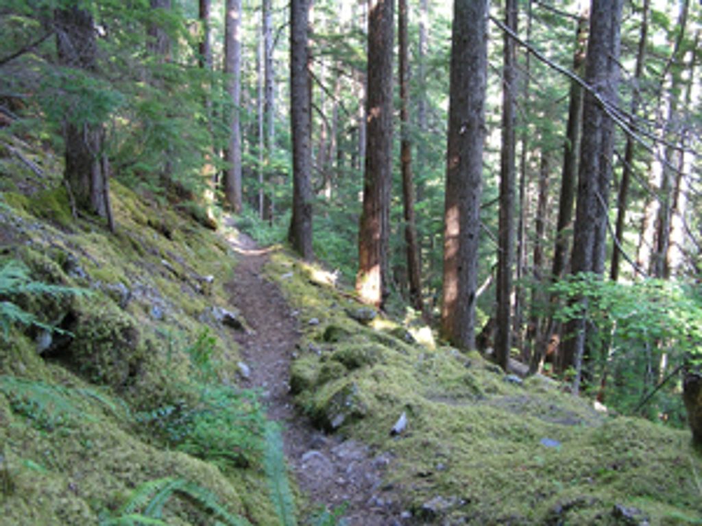
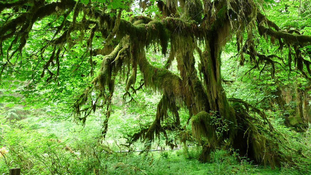
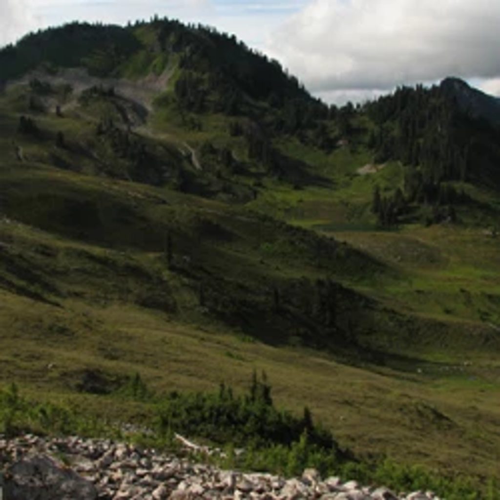
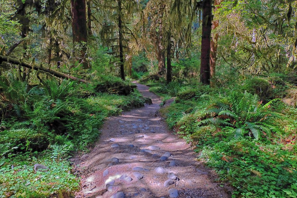
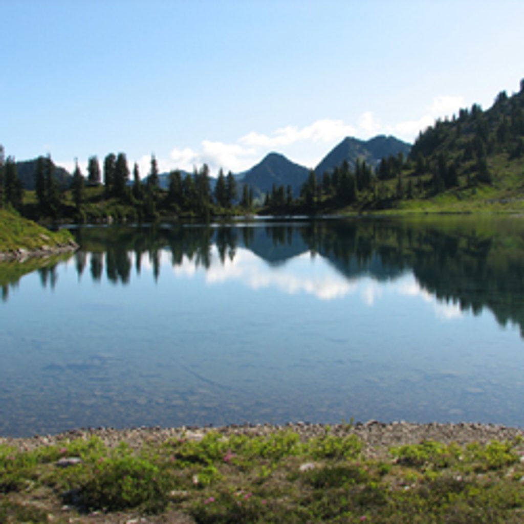
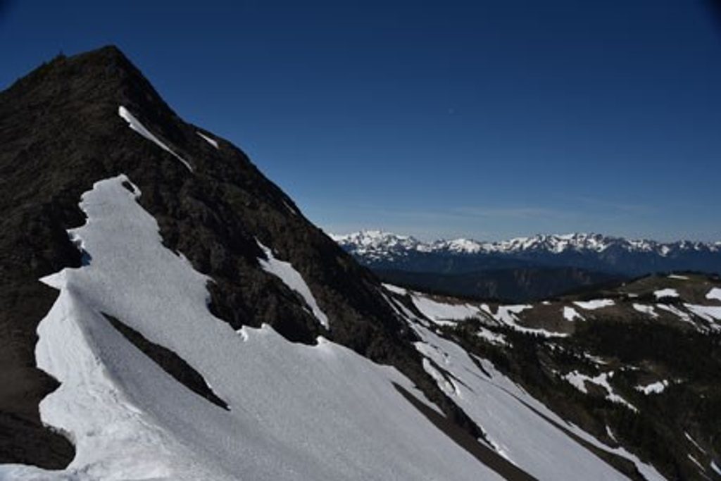
The approach follows the Dosewallips River past brooks, small waterfalls, and an overlook of Dosewallips Waterfall before reaching the old Dosewallips Campground and the true trail. From there, the path traces the West Fork through big, mossy forest, boulder-strewn riverbanks, and on into open subalpine meadows near Honeymoon Meadows. Higher up, the valley’s glacial carving shows in terraces, moraines, and a cirque headwall near Anderson Pass, with a spur toward the fast-vanishing Anderson Glacier. Keep an eye out for grouse, deer, and the occasional black bear.
Backcountry camps come at practical intervals—Dose Forks, Big Timber, Diamond Meadows, Honeymoon Meadows, and Camp Siberia—making it easy to stage a multi-day. Wilderness camping permits are required beyond the abandoned campground, and bear canisters or proper food storage are mandatory (some camps have bear wires). No pets. There’s no park entrance fee if you’re starting from the washout.
Bike the closed road to the old campground to bank a lot of time and energy; stash bikes there before continuing on foot. Creek crossings are mostly bridged or log-assisted, but expect wet feet and use caution—crossings near Honeymoon Meadows can be hazardous in spring or after heavy rain.
Lower elevations are generally good April–October (this east-side valley sees less rain and snow), but for snow-free travel at Anderson Pass, target early July through October. Any time the trail is snow-covered, the park advises map/compass navigation and carrying an ice axe with self-arrest skills.
This is a classic, quiet route into Olympic’s high country. The washed-out road approach scares off crowds, which is part of the charm. If you want a shorter taste, turn around at Honeymoon Meadows. If you want more, Anderson Pass links to the East Fork Quinault and other deep-wilderness routes.
Park at the Dosewallips River Road washout/closure (free). From there, hike or bike 6.5 miles to the old Dosewallips Campground; leave bikes at or before the campground before continuing on trail.
Higher sections can hold snow any season; NPS advises map/compass and an ice axe with self-arrest skills when snow-covered. Some creek crossings (notably near Honeymoon Meadows) can be hazardous in spring or after heavy rain. Remote setting—plan conservatively and secure permits and proper food storage.
Place
Place
Place
Place
Challenging
Moderate
Challenging
Challenging

Parkwolf Tour Guide
