
Place · 0 mi away
Easy
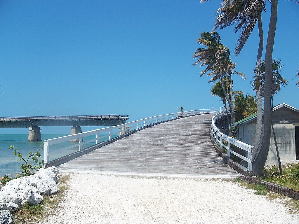
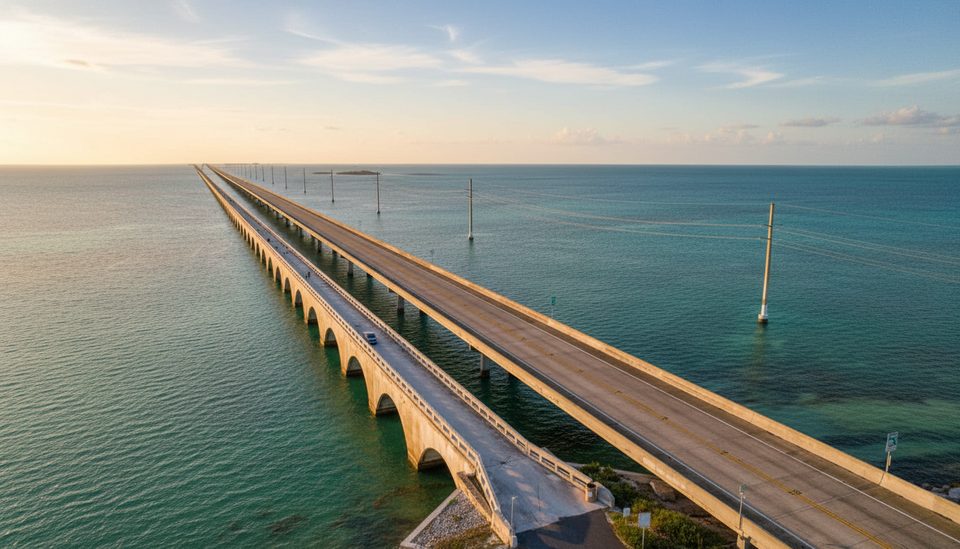
A restored slice of Florida Keys history, this nearly flat, paved walkway runs 2.2 miles one way to Pigeon Key. Expect turquoise water on all sides, constant sea breeze, and a front‑row perch for spotting marine life below. It’s limited to people on foot or bikes plus the Pigeon Key tram. Plan for about 4.4 miles total if you go to the island and back.
The deck is wide with marked lanes that keep walkers and cyclists flowing smoothly. It’s entirely exposed—no shade at all—so the sun and wind are the defining features. Look down into the shallows for spotted eagle rays, tarpon, sea turtles, nurse sharks, and a parade of seabirds cruising the channel. No fishing and no water access from the bridge; currents are strong.
Round‑trip distance is about 4.4 miles; most walkers take 90–120 minutes without a tour. Parking is tight: about 35 spaces at the base often fill, but turnover is decent. Overflow street parking across US‑1 by Sunset Grille connects via a short walkway under the highway. There are no restrooms at the base; you’ll find water and restrooms on Pigeon Key with admission. Bikes (including e‑bikes) use the span, and a 15 mph speed limit is posted—keep right, pass left, and give space to the tram.
The surface is smooth asphalt, typically around 12 feet wide with a gentle grade, and there’s designated accessible parking. The bridge itself is generally friendly for wheelchairs and strollers. Some historic areas on Pigeon Key have limited accessibility.
Start at sunrise or head out late afternoon for cooler temps, softer light, and easier parking—sunsets here are stellar. Midday can be punishingly hot. If you’re out at dawn or dusk, bring bug spray.
This span is part of the old bridge that once carried Henry Flagler’s railroad and later the early Overseas Highway. A new highway bridge opened alongside in the 1980s; this historic section was closed for repairs in 2016 and reopened in 2022. Keep an eye on the outer guardrails—those are repurposed rails from the original railroad.
Small base lot near MM 47 often full; overflow across US‑1 by Sunset Grille with a walkway under the highway to the bridge base.
Full sun and strong crosswinds; no water or shade on the span; share with bikes and the tram; no fishing or swimming; mosquitoes can be active at dawn and dusk.
Place · 0 mi away
Place · 0.1 mi away
Place · 0.9 mi away
Place · 0.9 mi away
Easy · 8.2 mi away
Easy · 8.9 mi away
Easy · 11 mi away
Easy · 16.1 mi away

Parkwolf Tour Guide
