Parking
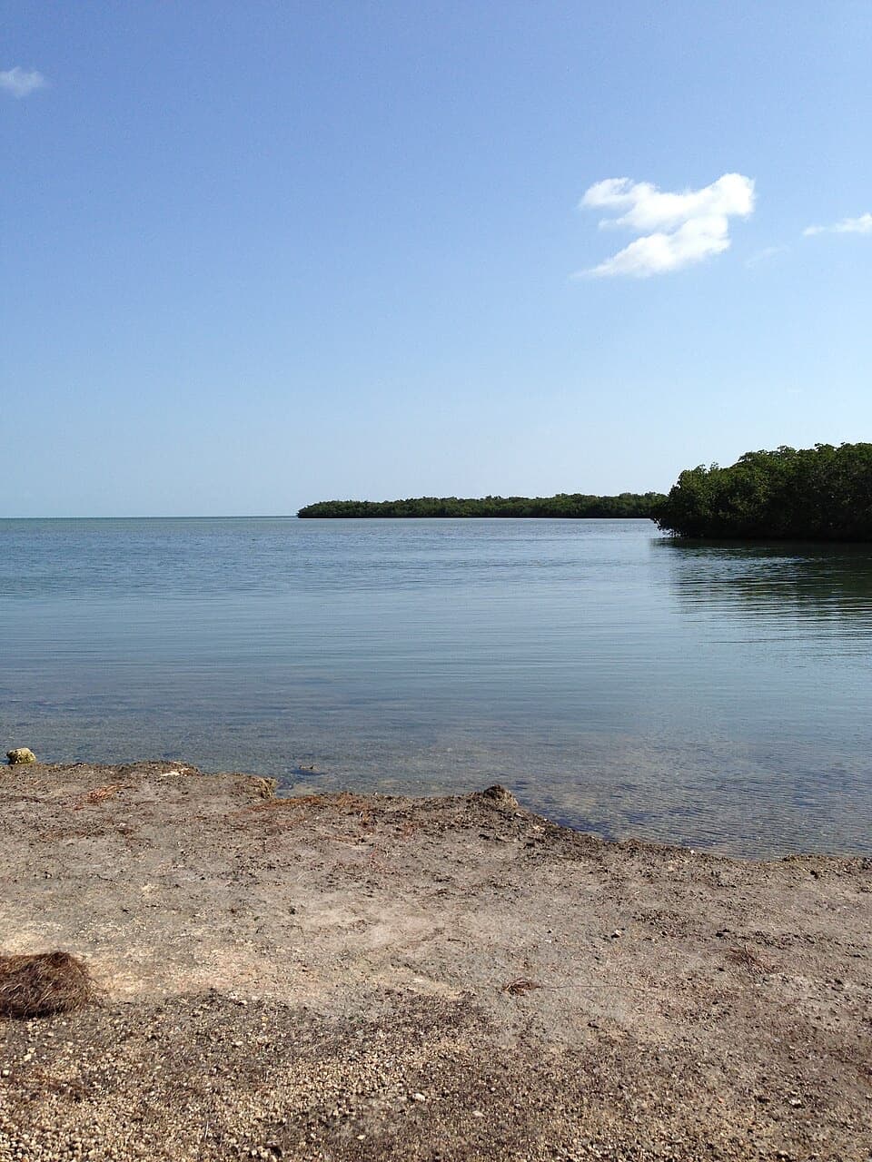
Park in the main marina lot at the end of the park road; the signed trailhead is a short walk away. Restrooms are in the Calusa day-use area.
#2 of 26 trails in Overseas Highway
Overseas Highway, FL
A short stair climb earns a sweeping view over the water.
Overview
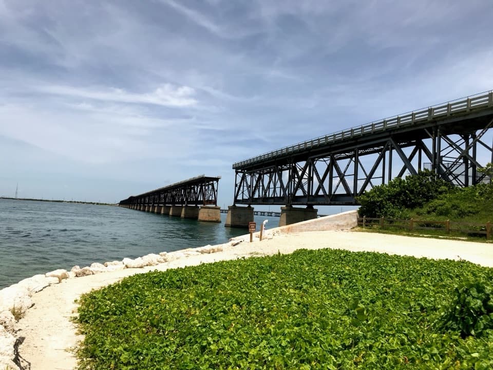
Old Bahia Honda Bridge Trail is a 0.4-mile out-and-back from the Calusa day-use area to a fenced high point on the old bridge. It follows the old U.S. 1 approach, climbs a staircase onto the deck, and ends where a barrier stops you from going farther. Give it about 30 minutes if you read the signs and linger at the view. This is the park’s best short walk if you want the Keys landscape from above; its payoff comes quickly, and the route is short enough to fit between the beach and a longer park visit. The mileage includes retracing the same corridor, not crossing the former channel span.
 Parkwolf’s verdictIs this the walk for you?
Map & elevation
Plan your hike

The highest, rockiest slopes around here are a summer buffet for grizzly bears.
Overseas Highway Tour Guide
Parkwolf is a GPS audio tour guide for Overseas Highway. As you drive, it chimes in with what’s ahead: hidden gems, upcoming stops, history, geology, and wildlife, right through your car’s speakers.
See the Overseas Highway audio tourRecorded for this trailhead
Bahia Honda’s Calusa Beach and Old Bridge“Bahia Honda's Calusa area is coming up, with a small bay-facing beach beside the old steel bridge. Choose Calusa for a swim and a picnic with that view; nearby Loggerhead Beach faces the Atlantic instead.”
Plays as you drive up to this trailhead in the Parkwolf Overseas Highway Tour Guide.
More stories near here in the app
“Fantastic app with many points of information… It’s great to just turn on while you’re driving and it gives you an audio tour of the national Park. We love it!!!!”


Trail guide
Start at the interpretive signs near the Calusa-area marina parking. The path follows the old road grade through a strip of coastal vegetation. Its climb is gradual until the staircase takes you up onto the bridge. Expect gravel underfoot at the approach and a hard concrete surface on the deck; the steps are the main effort, not the distance. There is no loop or separate easy continuation: once the fence marks the end, turn around the way you came. Don’t pass or climb around the barrier; the old deck beyond it is closed.
The bridge puts you higher than the beach and opens a wide look over the island, the shoreline, and the marina. Watch the water below as well as the horizon. In calm conditions, rays or fish can be visible; sea turtles sometimes swim beneath the span. They’re possibilities, not guaranteed sightings. The strongest picture from the high point takes in the pale sweep of beach and water, with a bit of deck or railing in the foreground to show that you’re looking out from the bridge.
This structure began as part of Henry Flagler’s Overseas Railroad, built to carry trains to Key West. The deep channel here called for steel trusses, unlike the concrete arches used on many other railroad spans in the Keys. Construction ran from 1904 to 1912; the first train reached Key West in January 1912. Standing on the walkway, you’re above the old rail structure rather than on the original railbed.
The 1935 hurricane badly damaged the rail line, and repairs took years. Florida later placed a concrete road deck over the rail bridge to carry U.S. 1, layering a highway above the older railway structure. The modern highway now runs nearby, while this remnant stops short of its former full crossing. The remaining span and its approach are why this is a short viewpoint walk rather than a route between islands. If you want to see the steelwork from below, the separate Bahia Honda Beach Walk passes under or beside the bridge; it’s a different stop, not part of this 0.4-mile hike.
Park in the main marina parking area at the end of the park road; the bridge trailhead and its signs are a short walk from there. Restrooms are in the Calusa day-use area, and the park concession sells sandwiches and snacks elsewhere in the park. There is no food stop along the bridge walk. Park admission is required. I couldn’t verify whether dogs are allowed on this specific route under the park’s designated-area rules, so check with the park before bringing one.
Wildlife
 18 sightingsCrocodileMost seen around 6 PMSighting map
 255 sightingsAlligatorMost seen around 6 PMSighting map
 55 sightingsManateeMost seen around 7 AMSighting map
 70 sightingsCommon Bottlenose DolphinMost seen around 9 AMSighting map
 51 sightingsBald EagleMost seen around 8 AMSighting map
 1,120 sightingsKey DeerMost seen around 6 PMSighting map
Sighting maps show where each species has been reported across Overseas Highway. Wildlife moves, so no sighting is guaranteed.
Keep exploring
 EasySilver Palm Nature Trail0.1 mi · 10 min · 1.5 mi awayA quick detour for the silver-backed palm fronds
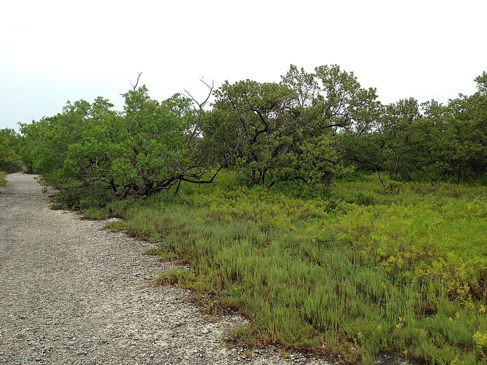 EasyLongbeach Trail2.3 mi · 1.5 hr · 3.5 mi awayTwo short spurs reach mangroves and open shoreline.
 EasyParadise Drive Trail2.1 mi · 1 hr · 3.9 mi awayA flat, rustic two-mile walk through No Name Key refuge habitat.
 EasyBlue Hole Trail0.3 mi · 20 min · 7.2 mi awayA shaded stroll around a freshwater quarry with wildlife to watch.
 EasyWatson Trail0.8 mi · 36 min · 7.5 mi awayA short loop through pine rockland and water-filled limestone holes.
 EasyMannillo Trail0.3 mi · 15 min · 7.5 mi awayA short limestone path to a wetland deck in pine rockland.
 EasyButtonwood Trail1.6 mi · 1 hr · 8.4 mi awayA flat, 1.6-mile out-and-back through Big Pine Key wetlands.
 EasyOld Seven Mile Bridge4.4 mi · 2.5 hr · 10.3 mi awayWalk the old rail bridge over open water to Pigeon Key.Sight · At the trailheadOld Bahia Honda BridgeA short stair climb leads to Flagler’s steel span above the water.
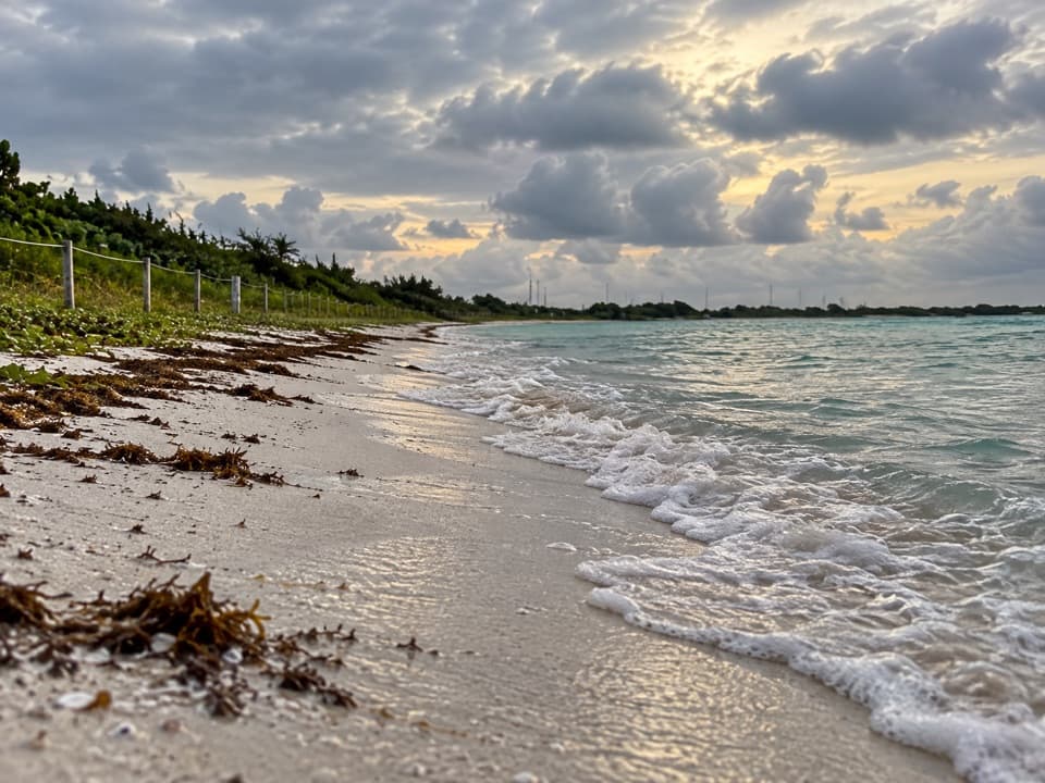 Beach · At the trailheadLoggerhead BeachShallow Atlantic water suits swimming and a first snorkel.
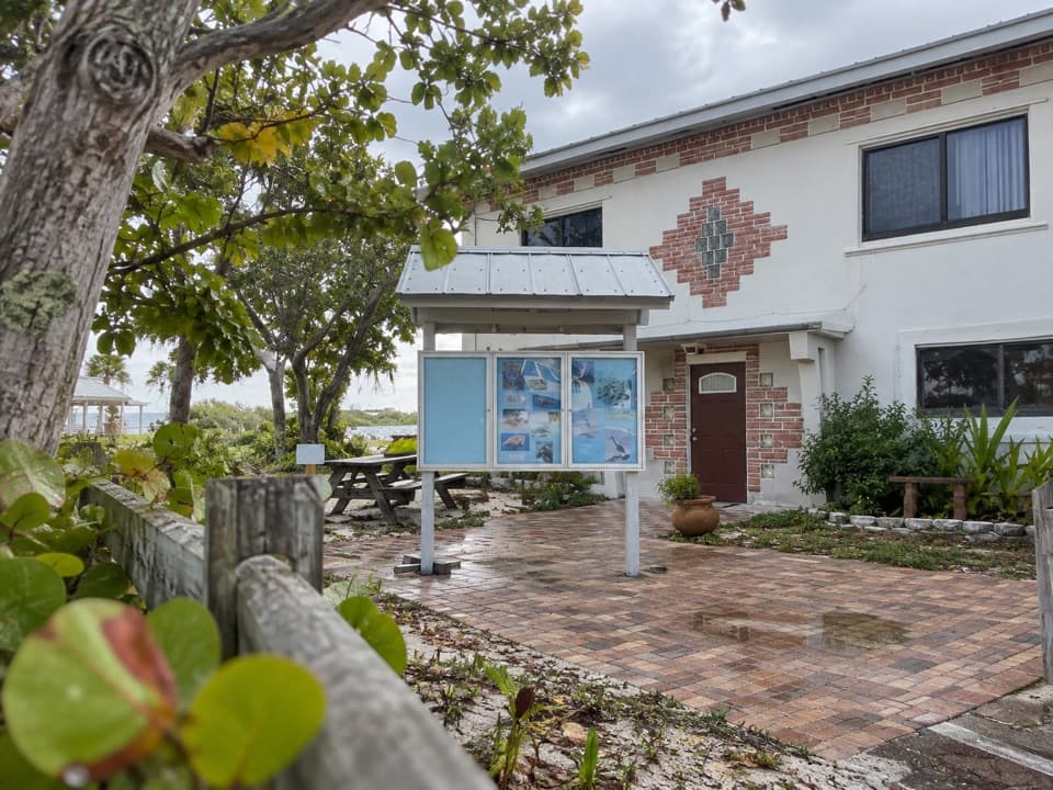 Visitor center · 0.1 mi awayBahia Honda Sand and Sea Nature CenterA quick wildlife exhibit beside Calusa Beach.
 Beach · 0.1 mi awayCalusa BeachA shallow bay beach beside the broken railway bridge.
 Campground · 0.2 mi awayButtonwood Campground48 gravel sites for tents and RVs, including waterfront spots.
 Lodging · 0.6 mi awayBahia Honda Bayside CabinsRaised duplexes make this a bay-side stay inside the park.
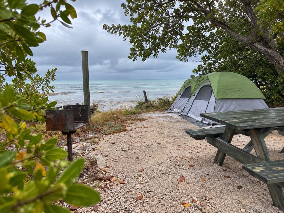 Campground · 0.6 mi awayBayside CampgroundEight bayside sites have water and grills, but no electricity.
 Campground · 1 mi awaySandspur CampgroundA small, beachside campground for tents and short rigs.
Parkwolf’s Overseas Highway ranking
The audio tour guide for the drive, plus offline maps, trails, and wildlife heatmaps for when the signal drops.