Pros & cons
PROS
- Short, family-friendly hike to Warspite Lake with big views
- Trailhead has parking and vault toilets
CONS
- Beyond Warspite Lake enters serious avalanche terrain in winter
- Access via Smith Dorrien Road can be gravel or snow-covered
Overview
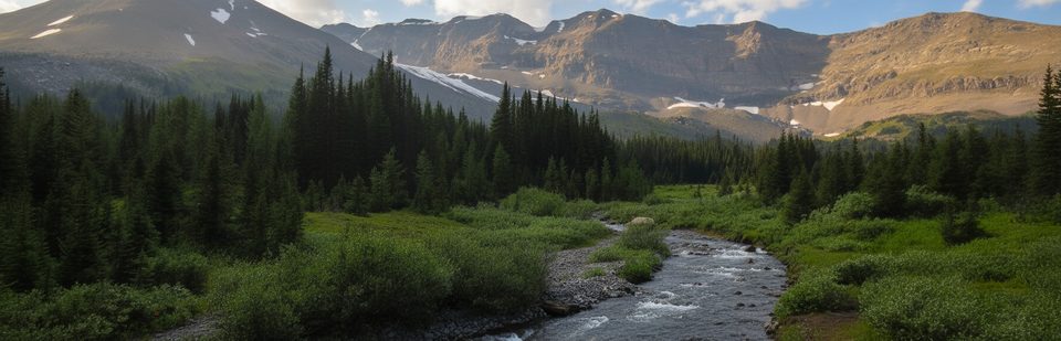
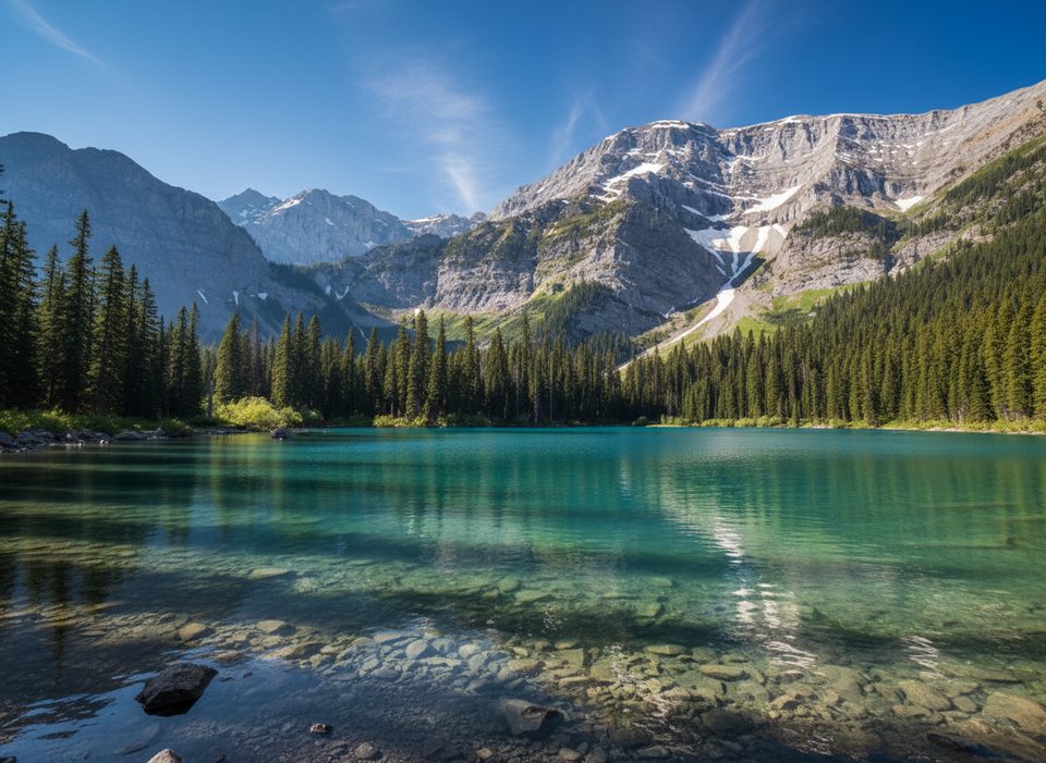
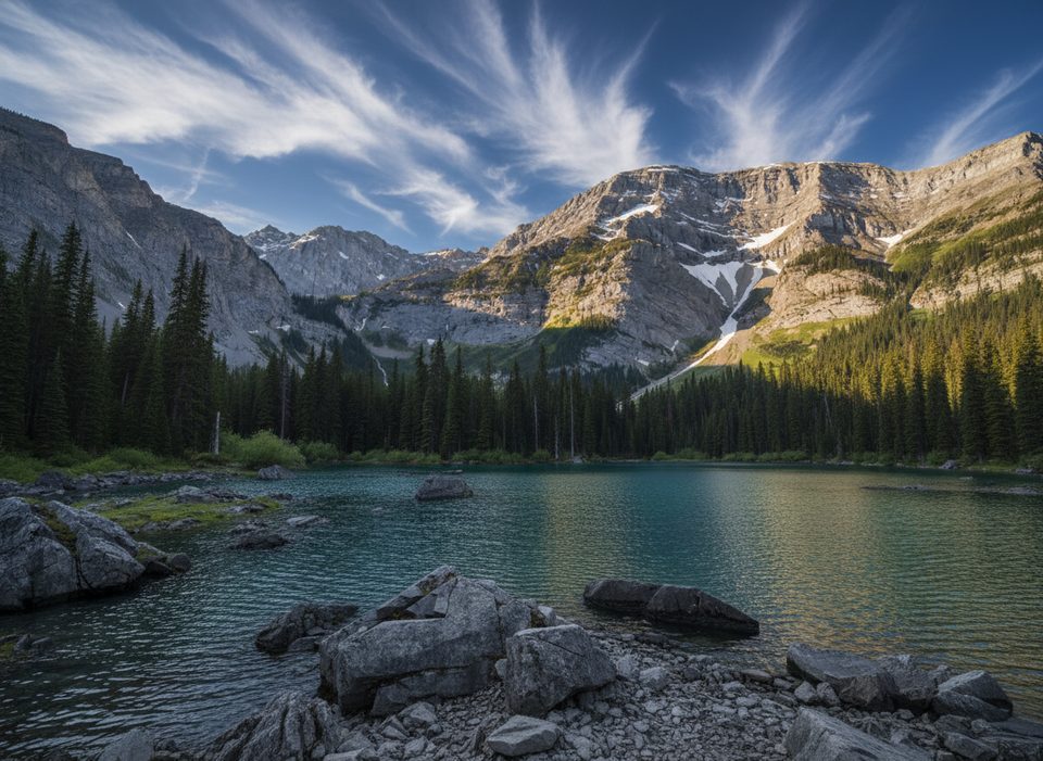
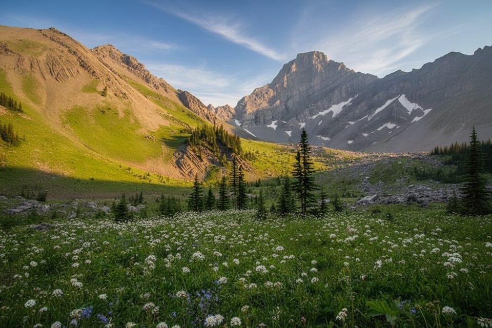
Mount Black Prince anchors a popular day-use area that’s really about the hike into Warspite Lake and the dramatic Black Prince Cirque. The peak was named in 1917 after a WWI battleship, and the trail delivers outsized scenery for modest effort.
The Hike
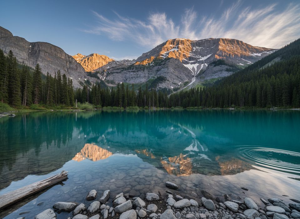
- Warspite Lake: about 4.2 km round-trip with roughly 90 m of elevation gain. It’s a straightforward, family-friendly outing that starts at the signed trailhead by the outhouses. Walk counterclockwise around the lake for mirror-like reflection shots when the water is calm.
- Black Prince Cirque (beyond the lake): the path steepens through wildflower meadows, a boulder field, and past the photogenic Warspite Cascades. Expect a more moderate effort; from Warspite Lake this adds roughly 5.2 km return and ~500 m of gain. Black Prince Lake itself can be elusive and may dry up, but the cirque’s walls and views are the real prize.
Winter Notes
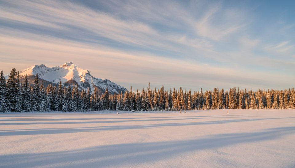
Warspite Lake is a well-traveled winter walk or snowshoe, but terrain beyond the lake is serious avalanche country. Early season can bring thin ice and open water near outlets. Check current advisories and conditions the morning you go, and bring traction (microspikes) or snowshoes as recent snowfall dictates.
Getting There
Two common approaches: from Canmore, drive ~52 km south on the Spray Lakes/Smith Dorrien Road to the signed Mount Black Prince Day Use Area. Or from the Trans-Canada, take Highway 40 to Kananaskis Lakes Trail, then turn onto the Smith Dorrien and continue ~8.2 km to the day-use area.
Amenities
At the trailhead you’ll find a parking area and vault toilets. An interpretive pamphlet is available for the Black Prince Cirque Interpretive Trail.
Wildlife
This is active grizzly country; carry bear spray and know how to use it. Mountain sheep, coyotes, and the occasional moose are sometimes spotted along nearby roads.
Rules and Logistics
A Kananaskis Conservation Pass is required for vehicles. Dogs are welcome but must be leashed. Camping is only allowed in designated areas.
Best Time to Visit
- Summer: lush meadows and abundant wildflowers make the cirque especially pretty.
- Photography: aim for calm mornings at Warspite Lake for the best reflections.
- Winter: stick to the lake unless you have avalanche training and gear, and always verify conditions via Alberta Parks’ trail reports and advisories.
Where it is
50.7050, -115.2431Tips for Mount Black Prince
- 01Walk counterclockwise around Warspite Lake for the best reflection photos.
- 02In winter, bring microspikes or snowshoes and check current trail and avalanche advisories.
- 03Expect gravel or packed snow on the Smith Dorrien Road; drive slowly and allow extra time.
- 04If you head beyond the lake, treat the cirque as avalanche terrain and plan accordingly.
- 05Black Prince Lake can dry up seasonally—go for the cirque views, not the water.
Amenities
Near Mount Black Prince
All places →All trails →
1.8 mi awayTurbine CanyonRemote, narrow canyon beside a serviced backcountry campgroundScenic Viewpoint · Campground
1.9 mi awayTurbine Canyon Backcountry CampgroundQuiet backcountry camp near a dramatic alpine canyonRestroom · Campground
2 mi awayBlack Prince Cirque (Warspite Lake)Short, scenic hike to a jade cirque lake under serrated peaksTrailhead · Restroom
2 mi awayHigh Rockies Trail (PLPP Segment)Southern High Rockies sampler with bridges, lakes, and quiet forestModerate · 10.6 mi · 6 hr
2 mi awayWarspite Lake (Black Prince Cirque)Short, kid-friendly stroll to a reflective alpine lake and cirqueEasy · 2.6 mi · 1.5 hr
2 mi awayBlack Prince Cirque InterpretiveShort, easy stroll to Warspite Lake’s cirque views and reflectionsEasy · 2.6 mi · 1.5 hr
3 mi awaySawmill Day UseYear‑round trailhead with snowshoe loops and bear lockersTrailhead · Parking
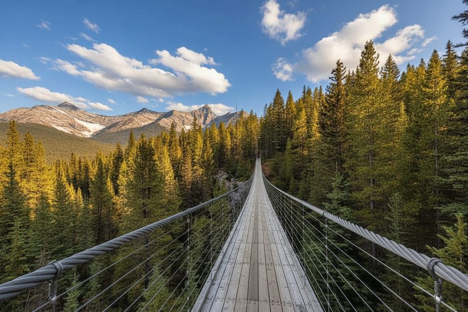
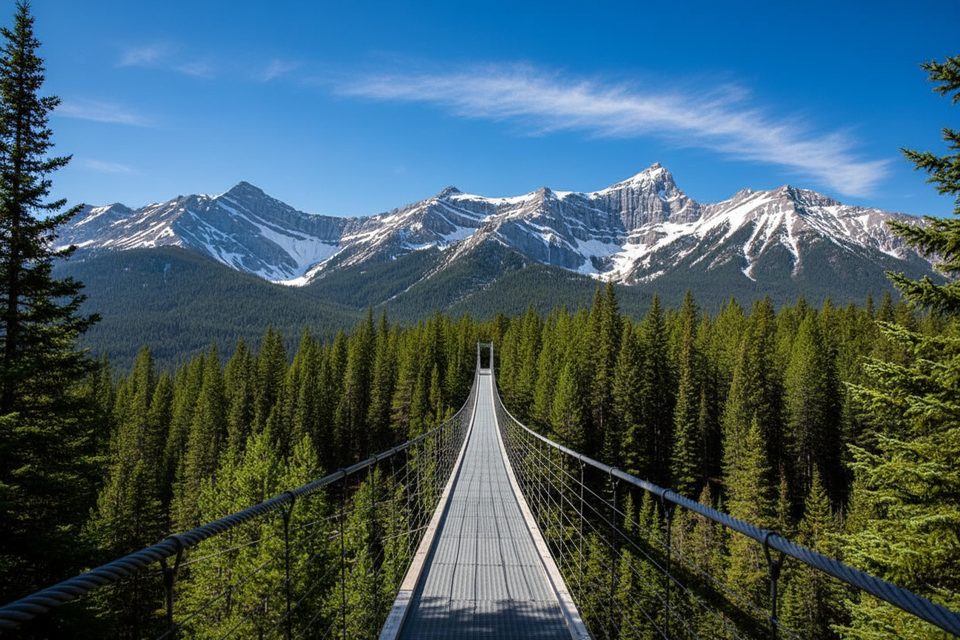
3.1 mi awayBlackshale Suspension Bridge TrailQuick, kid friendly loop to a swaying 240 ft forest bridge.Easy · 0.6 mi · 30 min