
Place · 0.7 mi away
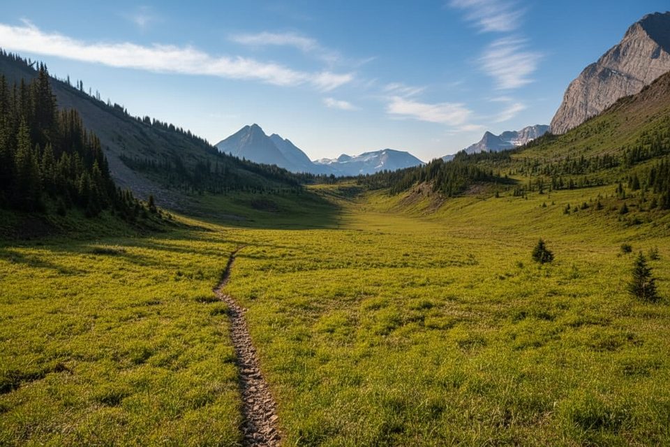
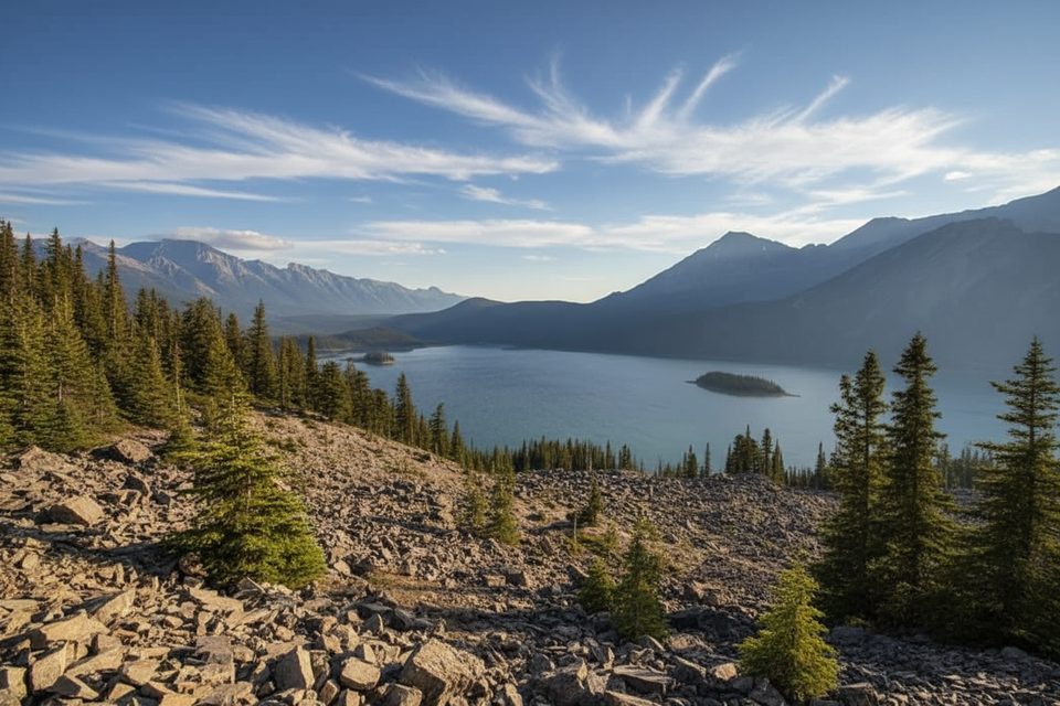
South Kananaskis Pass is a high saddle on the Alberta–BC border that feels properly wild. You climb from the Kananaskis Lakes into classic Divide country—layered peaks, turquoise lakes, and a big‑sky window toward the Royal Group and the Beatty basin. It’s less about a signed destination and more about earning a sweeping vantage that also opens the door to BC’s Elk Lakes and Height of the Rockies.
Most hikers start from North Interlakes Day Use and follow the Three Isle Lake route; Upper Lake Day Use is another option that adds a touch more lakeshore. North Interlakes and Elk Pass Day Use have pit/vault toilets; Upper Lake adds a hand‑pump and firepits. A Kananaskis Conservation Pass is required to park.
If you want a memorable 2–3 night traverse, link both passes. Typical flow: Day 1 to Forks then Turbine Canyon; Day 2 over North Kananaskis Pass, descending into BC to Beatty Lake; Day 3 return up to South Kananaskis Pass (~2,306 m) and down past Three Isle to the Kananaskis Lakes. Designated Alberta campgrounds (Forks, Turbine, Three Isle) require reservations; Beatty Lake on the BC side is first‑come. No fires at Turbine or Three Isle.
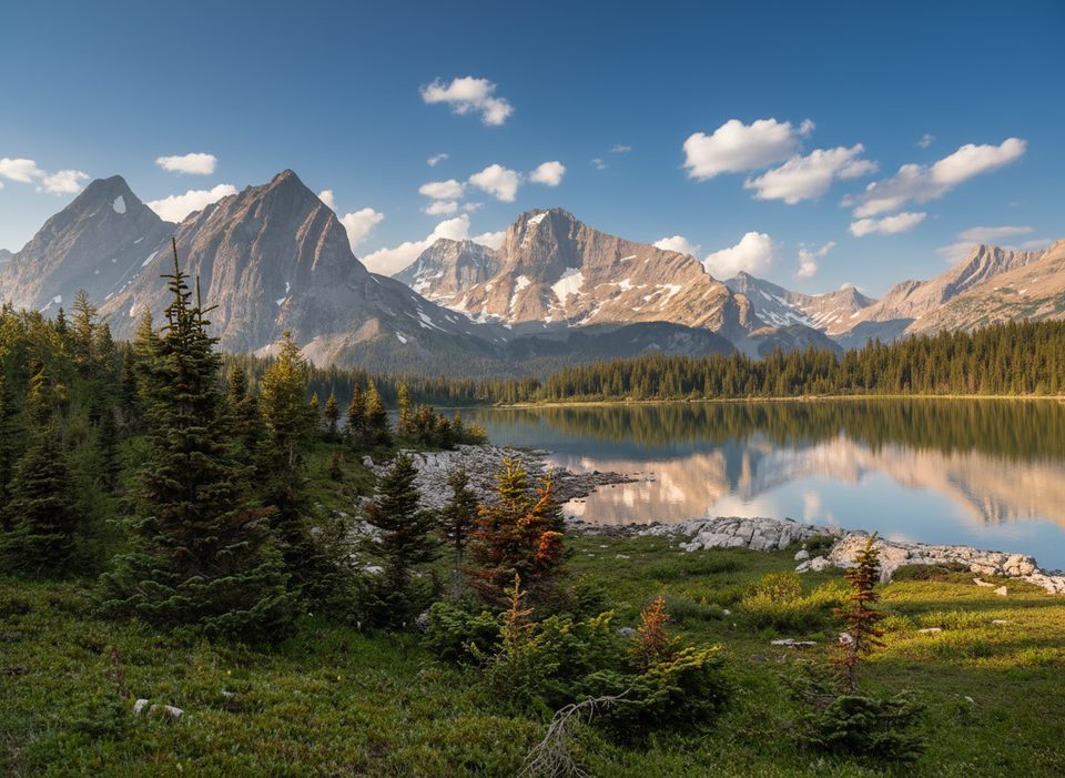
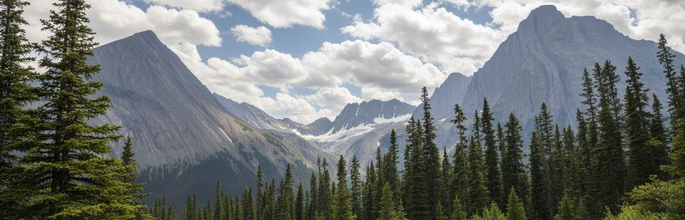
This is quintessential Divide hiking: sculpted sedimentary peaks, glacier‑touched headwalls, and a feeling of crossing into bigger country as you step west. From South Pass the view toward the Royal Group and the Beatty basin is the payoff—grand, airy, and wonderfully under‑the‑radar compared with busier Kananaskis staples.
You’re in prime habitat for grizzly and black bears, plus elk, deer, moose, bighorn sheep, cougars, lynx, and wolves. Keep dogs leashed, make noise in tight timber, carry bear spray where you can reach it, and use food lockers at designated campgrounds.
Trails on the Alberta side are signed and maintained. Once you drop into BC, expect fewer signs and a more remote feel—carry an offline geo‑referenced map or GPS. Water is reliable at creeks and lakes along the way; treat everything. Trekking poles help on the headwall and loose bits.
Best season is mid‑July to late September; lingering snow is common earlier. Larch colour typically peaks mid–late September. Highway 40 south of the Kananaskis Lakes turnoff closes annually from December 1 to mid‑June, which affects access and shoulder‑season plans.
Aim for clear summer or early‑fall days when the headwall is snow‑free and creeks are straightforward. Start early to bank shade on the climb and give yourself time at the pass. Weekdays see lighter traffic, and late afternoon brings warmer light on the westward views—just watch daylight for the long return.
Place · 0.7 mi away
Place · 0.7 mi away
Place · 1.9 mi away
Place · 2.4 mi away
Moderate · 6.1 mi away
Easy · 6.1 mi away
Easy · 6.1 mi away
Easy · 6.4 mi away

Parkwolf Tour Guide
