Pros & cons
PROS
- Only national park stop preserving a segment of Route 66
- Photogenic 1932 Studebaker and clear interpretive signs
CONS
- Very small stop focused on remnants, not an intact road
- No shade or services at the pullout
Overview
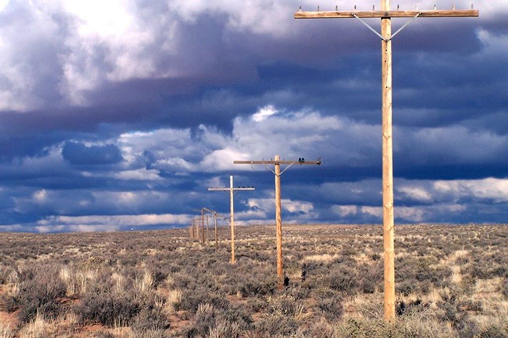
This is the park’s blink-and-you-miss-it slice of Americana: the historic Route 66 Alignment where the Mother Road once crossed Petrified Forest Road. It’s a quick pullout with a rusted 1932 Studebaker, a line of old telephone poles tracing the vanished highway, and interpretive signs that spell out the story.
What You'll See
- 1932 Studebaker body shell for classic road-trip photos.
- Traces of the roadbed and a straight line of weathered telephone poles marking the route.
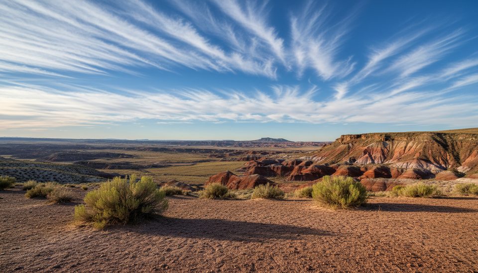
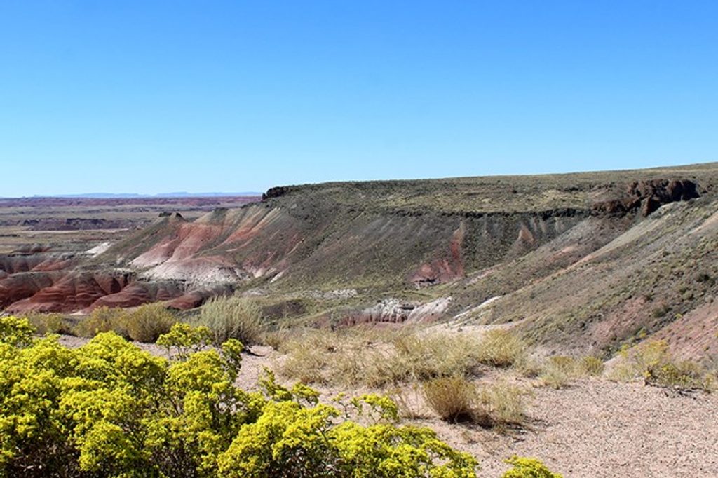
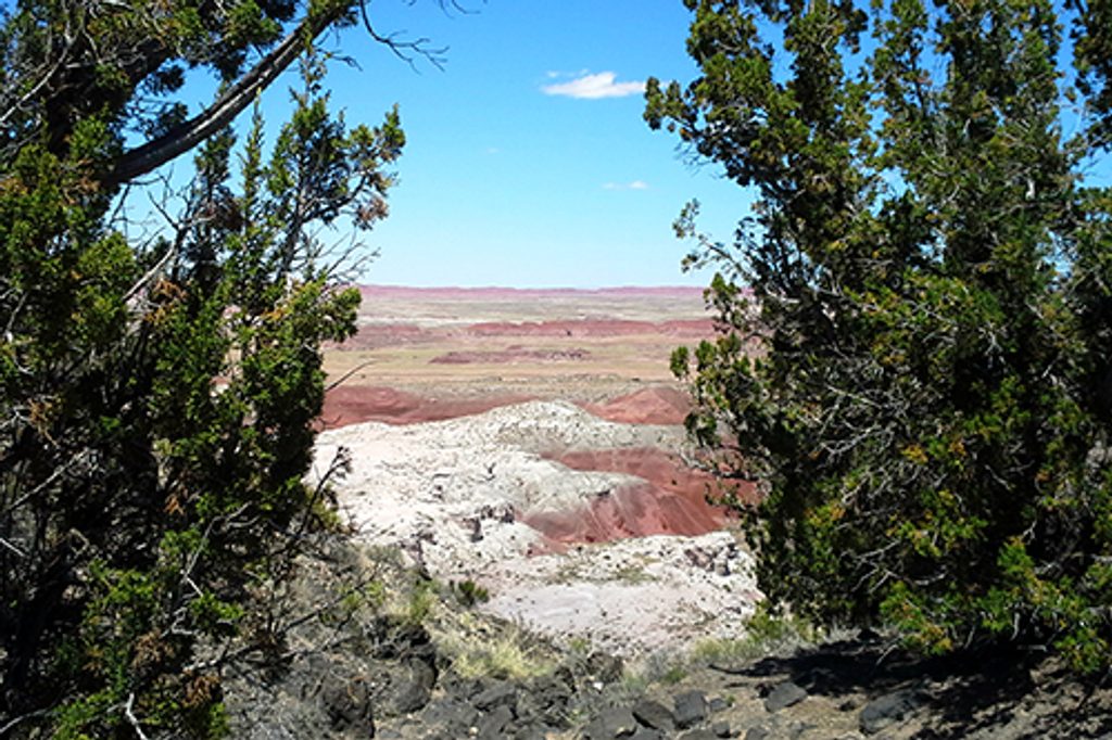
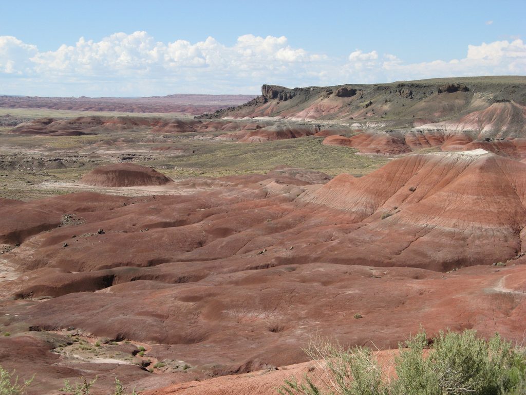
- Broad Painted Desert views in every direction.
Why It’s Notable
This is the only national park that preserves a segment of Historic Route 66. You’re literally standing where cross-country travelers once decided whether to head north to Painted Desert overlooks or south toward the famous petrified wood deposits.
What to Expect
It’s a short, satisfying stop—think 5–10 minutes to read the signs, snap the car photo, and scan the pole line across the desert. There’s no trail here and the old highway is not drivable.
Logistics
Access is via the signed Route 66 pullout along Petrified Forest Road, just south of I‑40. There are no restrooms, water, or shade at the exhibit; nearest facilities are at the visitor centers. Standard park rules apply and gates close strictly at posted times (often around 5–6 pm).
Quick History
Route 66 (1926–1985) carried generations west; here, it literally intersected the park road. The exhibit highlights that crossroads and points out former roadside spots along the alignment.
Best Time to Visit
- Early morning: usually the least busy and easiest parking.
- Midday to mid‑afternoon sees more visitors, especially mid‑week and on weekends.
- Plan within park operating hours; rangers begin clearing the park before closing.
Where it is
35.0513, -109.8053Tips for Route 66 Alignment
- 01Use the signed pullout off Petrified Forest Road; it’s a brief stop.
- 02Look for the straight line of old telephone poles to trace the highway.
- 03There are no services here—use restrooms at the visitor centers.
- 04Arrive earlier in the day; park gates close promptly around late afternoon.
- 05Don’t expect to drive the old road—what remains are traces and exhibits.
Amenities
Near Route 66 Alignment
All places →All trails →
0.8 mi awayLacey PointQuiet roadside overlook of the Painted Desert’s layered badlandsPullout · Parking
1.2 mi awayWhipple PointPainted Desert panorama with geology and history in one glanceParking · Scenic Viewpoint
1.4 mi awayNizhoni PointQuick stop for Painted Desert vistas and a rare geologic boundaryParking · Scenic Viewpoint
1.7 mi awayPainted Desert Visitor CenterNorth gateway for info, permits, plus the park’s only food and fuelVisitor Center · Restroom
1.7 mi awayTawa TrailEasy grassland walk to big Painted Desert views, ideal quick stop.Easy · 2.4 mi · 1 hr
2.4 mi awayPainted Desert Rim TrailEasy rim walk with nonstop Painted Desert panoramas and history.Easy · 1 mi · 30 min
2.4 mi awayWilderness LoopRemote off-trail loop through Painted Desert badlands and petrified woodChallenging · 8 mi · 5 hr
2.4 mi awayOnyx Bridge TrailPainted Desert ramble to a shattered petrified log in a wild washModerate · 4.5 mi · 2.5 hr