Parking
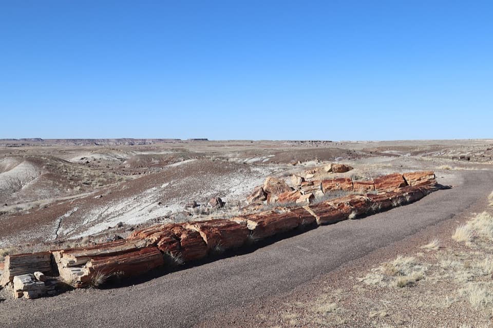
Start at Tawa Point, 1.5 miles from the north entrance. The park lists auto and bus/RV parking at this access.
#3 of 16 trails in Petrified Forest
Petrified Forest National Park, AZ
A short rim walk to layered Painted Desert views
Overview
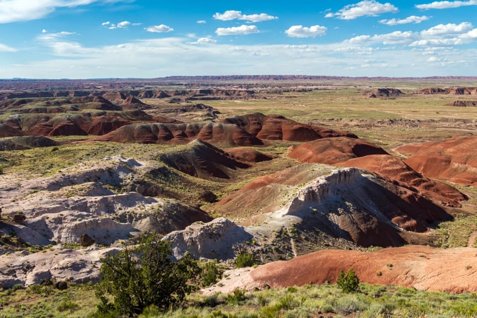
Painted Desert Rim Trail is a one-mile out-and-back between Tawa Point and Kachina Point, returning on the same path. It follows the Painted Desert rim through rim woodland and opens over the striped badlands. Allow around 30–45 minutes, with more time if you like to stop at each view. It suits anyone who wants a short, actual hike with a big view at the end. The route stays in a developed rim area, with the park road and visitor sites nearby in places, so pick it for views and easy access rather than backcountry solitude. The Tawa Trail to the Painted Desert Visitor Center is a different 1.2-mile one-way walk and is not included here.
 Parkwolf’s verdictIs this the walk for you?
Map & elevation
Plan your hike

The highest, rockiest slopes around here are a summer buffet for grizzly bears.
Petrified Forest Tour Guide
Parkwolf is a GPS audio tour guide for Petrified Forest National Park. As you drive, it chimes in with what’s ahead: hidden gems, upcoming stops, history, geology, and wildlife, right through your car’s speakers.
See the Petrified Forest audio tourRecorded for this trailhead
Tawa Point and the Rim Walk“You're coming up on Tawa Point, an accessible overlook across red-and-cream badland ridges and flat-topped mesas. The point is named for Tawa, the Hopi Sun Spirit.”
Plays as you drive up to this trailhead in the Parkwolf Petrified Forest Tour Guide.
More stories near here in the app
“Fantastic app with many points of information… It’s great to just turn on while you’re driving and it gives you an audio tour of the national Park. We love it!!!!”


Trail guide
From Tawa Point, the unpaved path follows the edge of the mesa, winding between shrubs and scrubby woodland. It is dirt and gravel rather than a smooth overlook path, with waterbars and short grades that steepen on a few pitches; there are no stairs. The trail averages a 6.3% grade and reaches 25.6% at its steepest point, with a cross-slope up to 16.2%. The short distance is manageable for many walkers, but this is not a wheelchair or stroller route. Dogs are welcome on the developed trail if kept on a leash six feet or shorter.
The route trends northwest from Tawa Point along ridges above the badland channels, so you keep looking into Painted Desert rather than dropping down among the formations. The view widens at Kachina Point, where broad bands of red, white, pink and gray hills fill the horizon. Tawa Point also has an accessible overlook, so if you have just a few minutes, you can still get a strong desert view without walking the full trail. Keep going to Kachina if you want the full one-mile round trip. From the Kachina overlook, include a little rim vegetation in the foreground to give the layered hills depth in a photo; stay at the established viewpoint.
These bands are more than colorful rock. The badland hills are mostly Chinle Formation, river deposits laid down over 200 million years ago. The red and green-blue colors reflect ancient soil conditions: iron oxidized where groundwater levels fluctuated, while oxygen-poor soils left iron minerals greenish or blue. Look across the ridges for the changes between those colors rather than one uniform stripe.
The Painted Desert Inn stands beside the Kachina end of the route. Herbert David Lore built it from petrified wood and native stone as the Stone Tree House before 1920, then registered it with the land office in 1924; the park acquired the property in 1936. Civilian Conservation Corps workers reshaped the building in Pueblo Revival style under park architect Lyle Bennett. Later, Mary Colter made changes for the Fred Harvey Company, and Hopi artist Fred Kabotie painted murals inside. The inn is now a National Historic Landmark. It gives the rim walk a bit of Route 66-era travel history, and a downstairs ice-cream parlor is a summer-season amenity.
Wildlife
 185 sightingsPronghornMost seen around 6 AMSighting map
 172 sightingsMule DeerMost seen around 6 AMSighting map
 100 sightingsCoyoteMost seen around 6 PMSighting map
 33 sightingsWapitiMost seen around 7 PMSighting map
 35 sightingsGunnison's Prairie DogMost seen around 8 AMSighting map
 56 sightingsPorcupineMost seen around 7 PMSighting map
Sighting maps show where each species has been reported across Petrified Forest. Wildlife moves, so no sighting is guaranteed.
Keep exploring
 EasyTawa Trail1.2 mi · 30 min · At the trailheadA short prairie walk to a bright Painted Desert overlook.
 ChallengingWilderness Loop8.2 mi · 7 hr · 0.4 mi awayFossil forests and rock art on a serious route-finding loop.
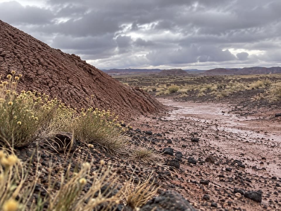 ModerateOnyx Bridge Hike4 mi · 2.5 hr · 0.4 mi awayAn unmarked wash route to a 210-million-year-old petrified conifer.
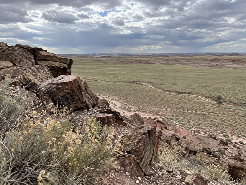 ModerateDead Wash Overlook Hike4 mi · 2.5 hr · 3.2 mi awayA faint route across striped badlands to a wide wash view.
 EasyPuerco Pueblo Trail0.3 mi · 30 min · 7.3 mi awayA short paved loop through ancestral Puebloan ruins and petroglyph views
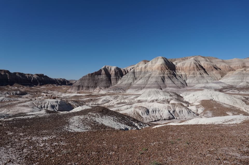 ChallengingBlue Forest Trail1.2 mi · 1.5 hr · 9.5 mi awayA rough old trail through blue badlands and exposed petrified wood.
 EasyBlue Mesa Trail1 mi · 45 min · 9.9 mi awayColor-banded badlands and petrified wood on a short, steep loop.
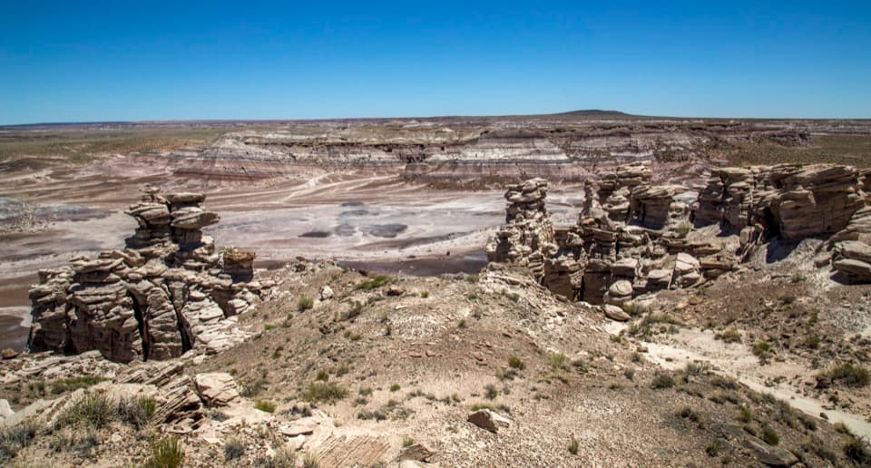 ModerateBillings Gap Overlook Loop3.5 mi · 2.5 hr · 10 mi awayCircle Blue Mesa's rim for a close look at Billings Gap.Sight · At the trailheadTawa PointA broad Painted Desert view with an accessible trail to follow.
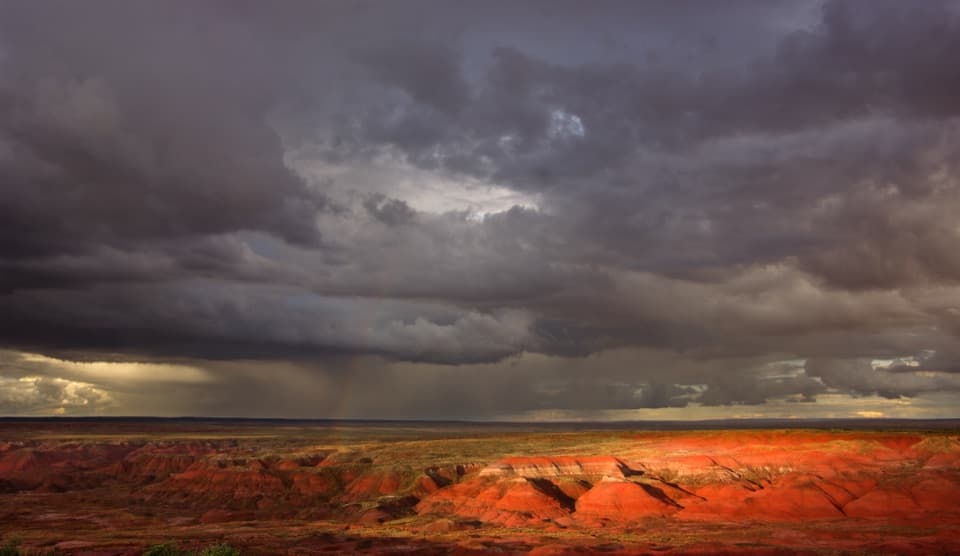 Scenic pullout · 0.3 mi awayTatáypi PointA quick pullout where red badlands meet a black basalt rim.
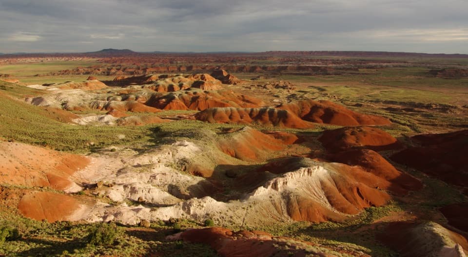 Sight · 0.4 mi awayKachina PointA broad Painted Desert view from an accessible rim overlook.
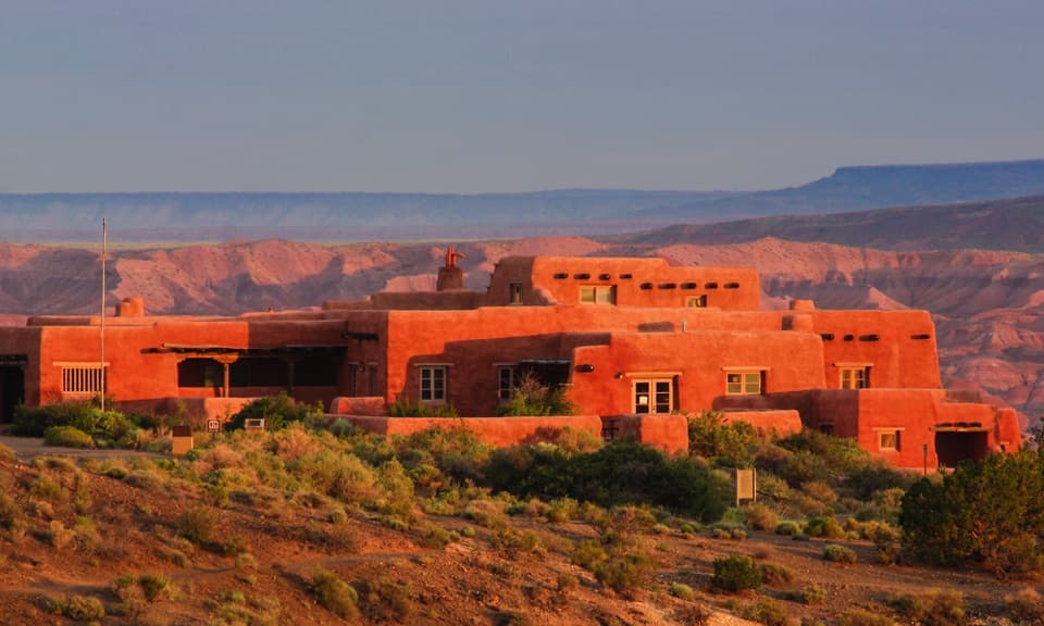 Sight · 0.4 mi awayPainted Desert InnA Pueblo Revival inn with Hopi murals and wide desert views.
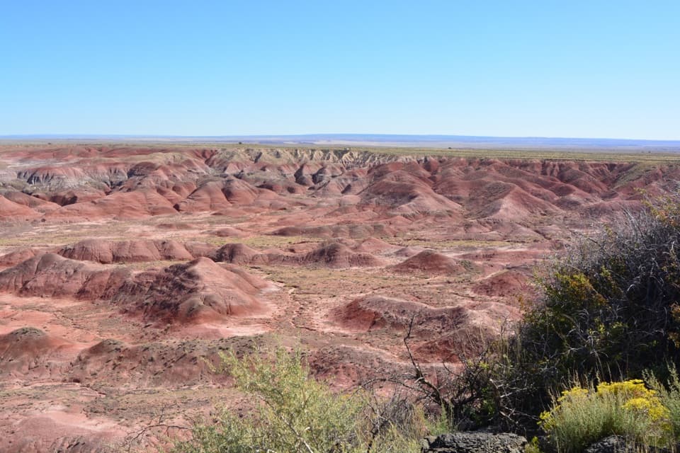 Sight · 0.6 mi awayTiponi PointJust inside the entrance, your first sweep of the Painted Desert.
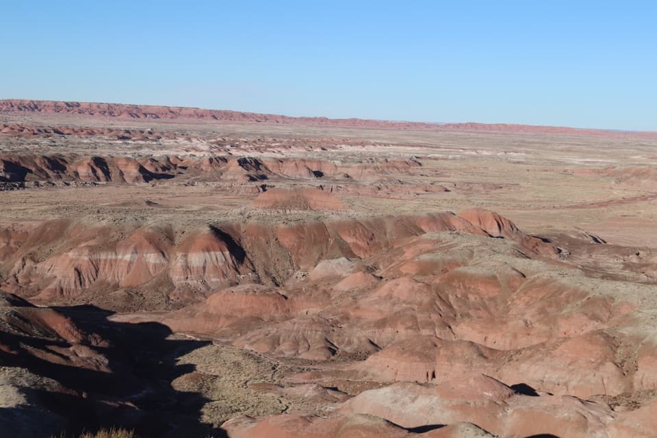 Sight · 0.8 mi awayHózhó PointA picnic stop with layered badlands in front.
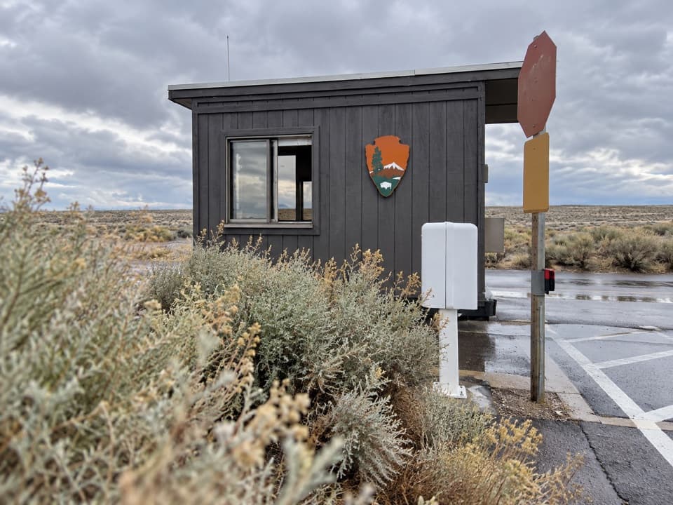 Entrance station · 1 mi awayNorth Entrance StationThe fee booth before the park's 28-mile drive south.
 Sight · 1 mi awayPintado PointA quick roadside stop for a broad Painted Desert view.
Parkwolf’s Petrified Forest ranking
The audio tour guide for the drive, plus offline maps, trails, and wildlife heatmaps for when the signal drops.