Big Sur Ranger Station

Go-to info hub and map stop at Big Sur Station

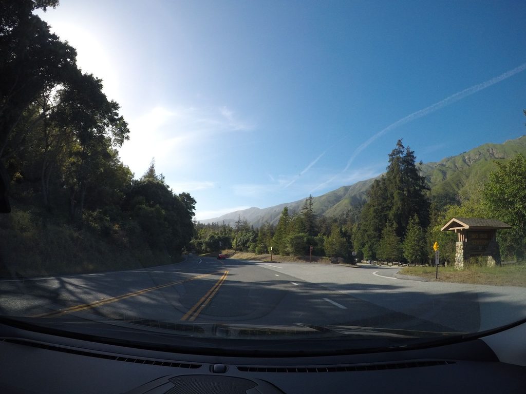
Big Sur Ranger Station, Pfeiffer Big Sur State Park
Image credit: Mapillary

Pros & cons

PROS

  • Best stop for up‑to‑date road and trail conditions
  • Nature store sells maps, guidebooks, and trip essentials
  • Clean restrooms right outside the building

CONS

  • Limited hours (about 9 a.m.–4 p.m. daily)
  • Occasionally no ranger at the desk when you swing by

Overview

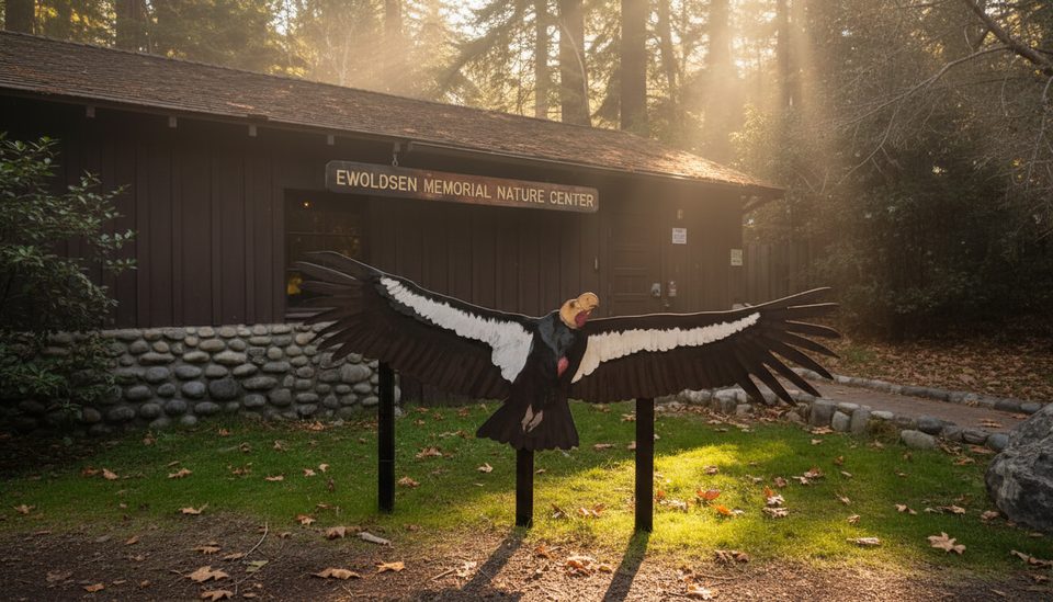
Big Sur Station is the park’s on‑the‑ground nerve center—a multi‑agency ranger and visitor hub where California State Parks teams up with Los Padres National Forest and Caltrans. It sits by the Pine Ridge Trailhead, so it’s a natural first stop to get oriented before you wander into the redwoods or head deeper down the coast.

What You’ll Find

  • Staffed desk answering real‑time questions about trails, beaches, campgrounds, and conditions.
  • A small Nature Store with maps, guidebooks, and handy essentials.
  • Restrooms outside the building—quick, clean pit stop before you hit the road or trail.
  • Practical help with passes/permits and where to park or camp nearby.

Why It’s Worth a Stop

This is where you get the truth about what’s open, what’s washed out, and what’s worth your limited daylight. In 2025, Highway 1 has seen intermittent closures (State Parks noted a full closure on July 11, 2025), so a two‑minute chat here can save you hours of backtracking. If you’re eyeing the Pine Ridge Trail or exploring Los Padres, the latest map and current trail intel from this desk are gold.

How It Fits Into Your Day

Roll in, grab the new area map, ask about current highlights (water levels, downed trees, wildlife notes), then plan a loop through Pfeiffer Big Sur State Park’s day‑use areas or a longer forest hike. They’ll also clarify that Pfeiffer Beach is separate from the park and has its own fee and access road.

Good to Know

  • Dogs are allowed only in developed areas (not on park trails).
  • No bicycles on hiking trails.
  • Fires only in provided rings at camp; don’t gather wood.
  • Campground rules, tokens for showers, and check‑in/out details are easy to confirm here before committing to a site.

Best Time to Visit

Aim for right at opening (around 9 a.m.) for the freshest conditions report and easy parking, or late afternoon before they close at 4 p.m. Weekends see more traffic; weekdays are smoother. Morning fog often lingers, but that’s fine—you’re here for info, not vistas. If you’re planning a long coastal drive afterward, confirm road status here before you go.

Where it is

36.2479, -121.7813
Big Sur Ranger Station

Tips for Big Sur Ranger Station

  1. 01Stop here first for the latest trail, campground, and beach status.
  2. 02Heading onto the Pine Ridge Trail? Grab the newest map and ask about conditions.
  3. 03Restrooms are outside the building—useful before longer drives or hikes.
  4. 04Ask about any Highway 1 closures before committing to a coastal detour.
  5. 05Carry some cash; some day‑use fees use self‑pay envelopes.

Amenities

Near Big Sur Ranger Station

All places →All trails →

More about Big Sur Ranger Station

PARKWOLF TOUR GUIDE

Like a tour guide in your car.

Save the places you found around Pfeiffer Big Sur, then let Parkwolf guide the drive between them.
Download Parkwolf on the App StoreGet Parkwolf on Google Play
The Parkwolf tour guide sitting on a phone mounted in a car
Get the Audio Tour Guide for your drive through Pfeiffer Big SurOpen Parkwolf