
Parkwolf’s Pfeiffer Big Sur ranking
Top sights in Pfeiffer Big Sur
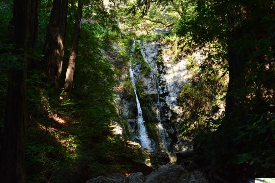
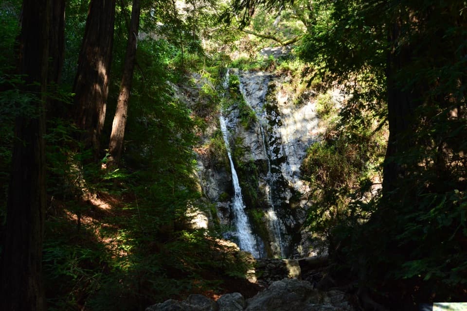 1SightPfeiffer FallsA 60-foot cascade tucked into a redwood ravine.
 2SightBig Sur River GorgeThe paved approach ends before the upstream pools begin.
 3SightRedwood DeckA shady redwood stop that doesn’t need a strenuous hike.
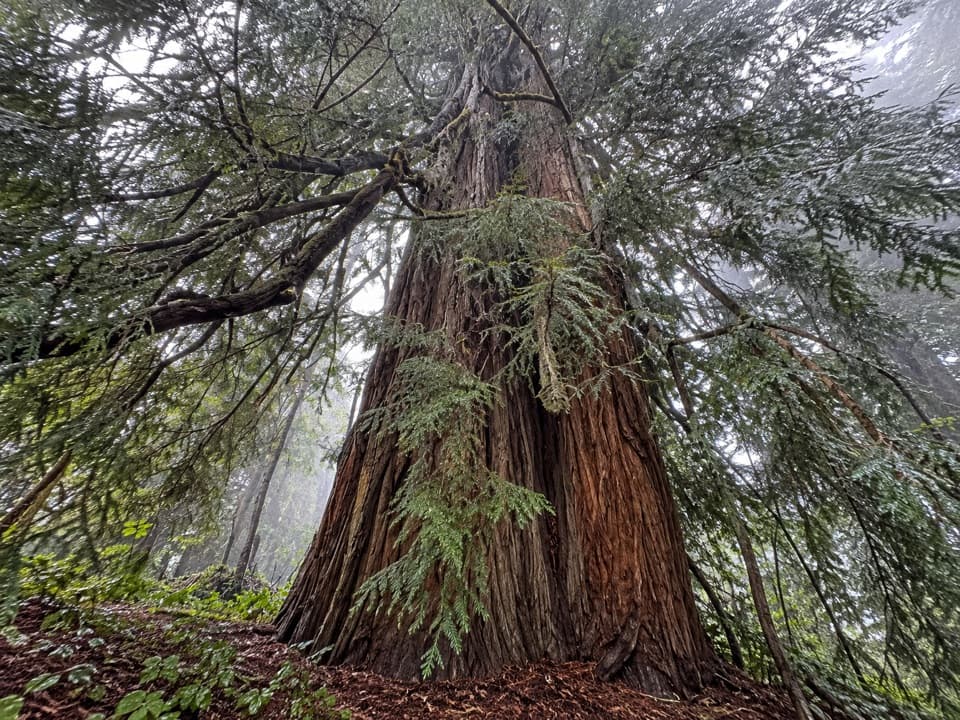 4SightColonial TreeA quick stop beneath the park’s biggest, probably oldest redwood.
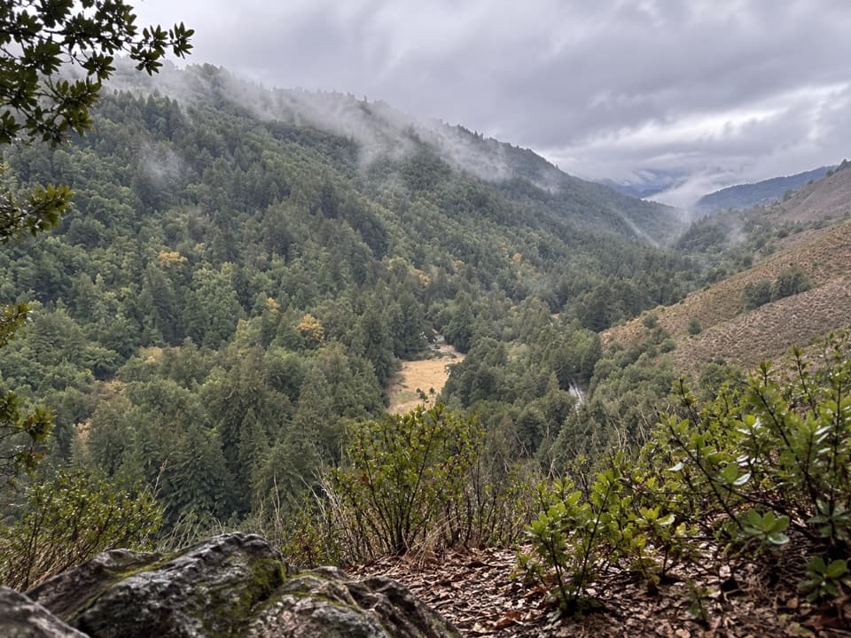 5SightValley View OverlookA steep climb opens onto a wide valley view toward Point Sur.
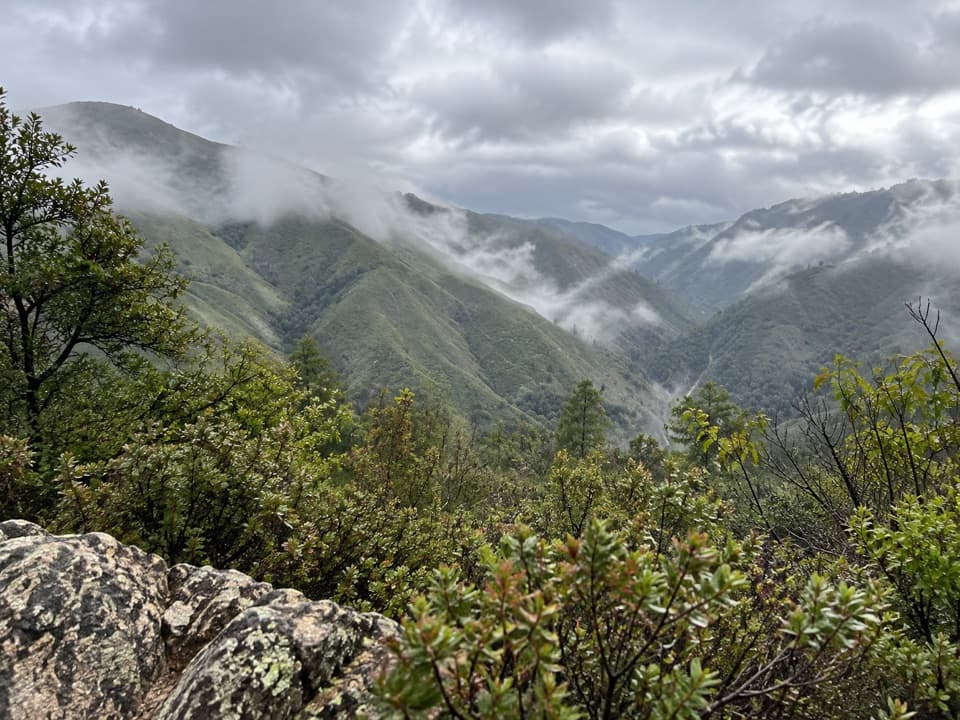 6SightBuzzard's Roost ViewpointA steep climb to ocean, canyon, and mountain views.
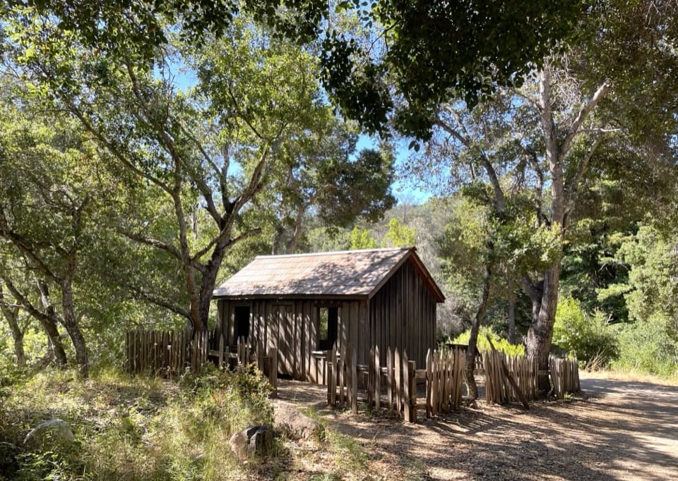 7SightHomestead CabinA brief heritage stop before Big Sur River Gorge.
 8SightWeyland BridgeA CCC bridge whose stonework is older than the deck.
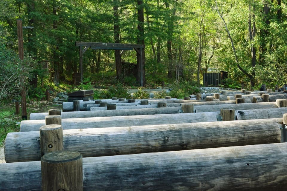 9SightCampfire CenterA wooded amphitheater where the audience gathers around a fire circle.
Hiking
Top trails in Pfeiffer Big Sur
- 3 easy
- 4 moderate
- 4 challenging
 ModeratePfeiffer Falls Trail1.1 mi · 1.3 hrA short redwood climb to a delicate waterfall.
 ModerateBuzzard's Roost Trail3 mi · 2.5 hrShady redwoods give way to a sunny ridge above the ocean.
 ChallengingSykes Hot Springs via Pine Ridge Trail19 mi · 13 hrA long backcountry trek earns a soak beside the Big Sur River.
 ModerateValley View Trail1.8 mi · 1.8 hrA short, steep climb to a bench above Big Sur River Valley.
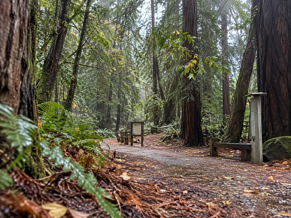 EasyRiver Path and Warden's Path0.6 mi · 18 minAn easy river loop under redwoods, linked by footbridges.
 EasyNature Trail0.7 mi · 30 minAn easy redwood walk with twelve plant stops and a river return.
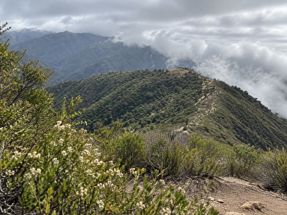 ChallengingMount Manuel Trail9.1 mi · 8 hrA long, sunny climb to a rocky ridge above Big Sur.
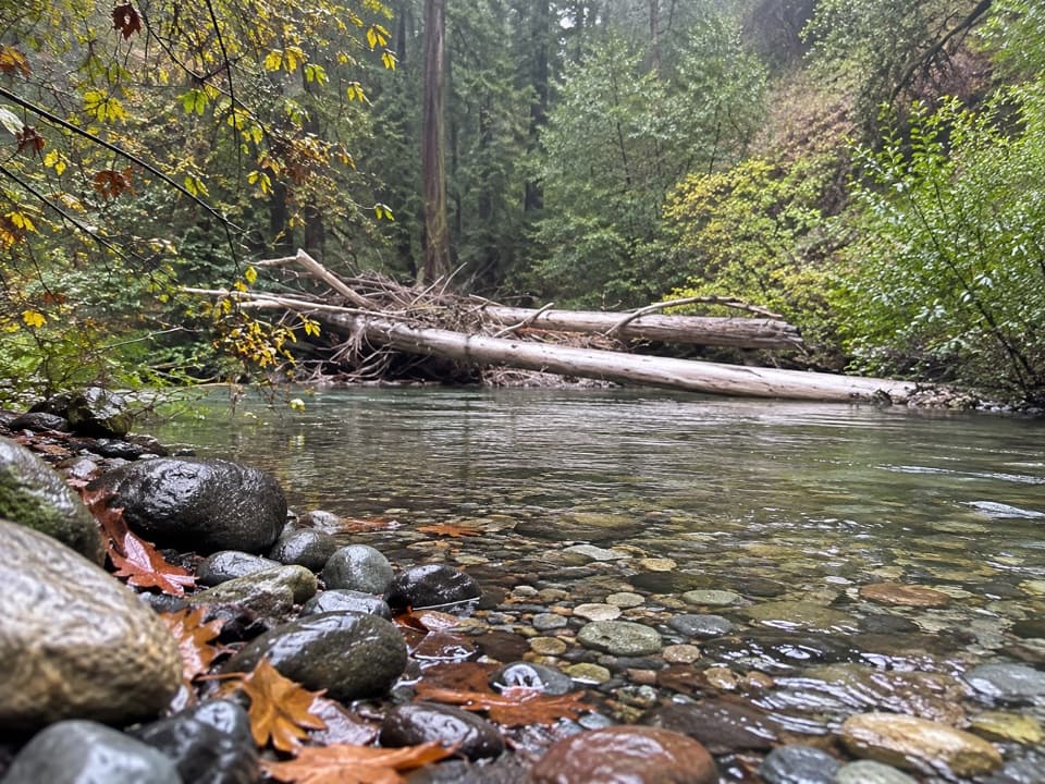 ChallengingPine Ridge Trail to Ventana Camp9.9 mi · 7 hrA tough Pine Ridge out-and-back to a riverside camp.

The highest, rockiest slopes around here are a summer buffet for grizzly bears.
Pfeiffer Big Sur Tour Guide
Pfeiffer Big Sur, narrated.
Parkwolf is a GPS audio tour guide for Pfeiffer Big Sur State Park. As you drive, it chimes in with what’s ahead: hidden gems, upcoming stops, history, geology, and wildlife, right through your car’s speakers.
Recorded for this place
Pfeiffer Falls: The Redwood Ravine0:00 / 0:23
“The Pfeiffer Falls trailhead is coming up, with a sixty-foot waterfall at the end of a redwood ravine. Allow an hour to ninety minutes for the one point one mile round trip, with steady climbing and uneven timber steps.”
Plays as you drive up to Pfeiffer Falls in the Parkwolf Pfeiffer Big Sur Tour Guide.
More stories near here in the app
- Ewoldsen Nature Center: Fly Like a Condor
- Big Sur Lodge and Redwood Deck
- Mount Manuel Trail: A Full Day Above the Gorge
- Big Sur Station: Gateway to Pine Ridge
- 10 audio storiesacross Pfeiffer Big Sur’s roads, triggered by GPS as you drive
- Wildlife heatmapsfor California Condor, Wild Turkey, Mule Deer, and 13 more
- Works offlinemaps, 11 trails, 20 places, and audio download before you lose signal
- CarPlay readysimple controls built for the drive
“Fantastic app with many points of information… It’s great to just turn on while you’re driving and it gives you an audio tour of the national Park. We love it!!!!”


Map
The whole park, on one map
Loading the Pfeiffer Big Sur map
Full mapPlan your visit
Before you go
Wildlife
Wildlife in Pfeiffer Big Sur
 10 sightingsCalifornia CondorMost seen around 1 PMSighting map
 55 sightingsWild TurkeyMost seen around 7 AMSighting map
 101 sightingsMule DeerMost seen around 6 PMSighting map
 36 sightingsTurkey VultureMost seen around 1 PMSighting map
 46 sightingsAcorn WoodpeckerMost seen around 9 AMSighting map
 11 sightingsGray FoxMost seen around 6 PMSighting map
Sighting maps show where each species has been reported across Pfeiffer Big Sur. Wildlife moves, so no sighting is guaranteed.