Parking
Use the signed Pine Ridge Trailhead parking lot at Big Sur Station, just south of Pfeiffer Big Sur State Park’s Highway 1 entrance. The lot has 55 spaces.

#3 of 11 trails in Pfeiffer Big Sur
Pfeiffer Big Sur State Park, CA
A long backcountry trek earns a soak beside the Big Sur River.
Overview
Map & elevation
Plan your hike

The highest, rockiest slopes around here are a summer buffet for grizzly bears.
Pfeiffer Big Sur Tour Guide
Parkwolf is a GPS audio tour guide for Pfeiffer Big Sur State Park. As you drive, it chimes in with what’s ahead: hidden gems, upcoming stops, history, geology, and wildlife, right through your car’s speakers.
Recorded for this trailhead
Big Sur Station: Gateway to Pine Ridge“You're coming up on Big Sur Station and the Pine Ridge trailhead. The station has wilderness maps and local route advice for the backcountry beyond it. Pine Ridge was built by the Post family in nineteen sixteen.”
Plays as you drive up to this trailhead in the Parkwolf Pfeiffer Big Sur Tour Guide.
More stories near here in the app
“Fantastic app with many points of information… It’s great to just turn on while you’re driving and it gives you an audio tour of the national Park. We love it!!!!”


Trail guide
Sykes Hot Springs is a rugged out-and-back on Pine Ridge Trail from Big Sur Station to Sykes Camp and the small pools beside the Big Sur River. Count on about 19 miles round trip, roughly 9.5 miles each way, and around 12–14 hours on foot. Many hikers make an overnight of it. The pools are the reward, but the route to reach them is the real commitment: steep climbs and descents, rough backcountry tread, and several river crossings. Do this if you’re ready for a long, remote hike; it isn’t a quick soak from a nearby trailhead.
The trail leaves from Big Sur Station and skirts the campground and Big Sur River Gorge before climbing through redwoods. Expect an early climb of about 1,000 feet over a couple of miles, followed by more ups and downs with few long, level stretches. Fallen trees can slow you down. The route is part of the much longer Pine Ridge Trail, which continues well beyond Sykes, so stay on the signed route for the springs rather than following the full traverse toward China Camp.
Ventana Camp is a side trail down to the Big Sur River; taking it means climbing back to Pine Ridge to continue. Terrace Creek Camp comes next in a shaded redwood corridor. Barlow Flat is a useful waypoint about seven miles in, but it isn’t the end of the tough river work. These camps make natural places to break up an overnight trip. They’re also reminders that this is wilderness travel, with posted campsite limits and no reservation system.
At Barlow Flat, the Stock Bypass route leaves the camp and crosses the Big Sur River before climbing toward Sykes. The crossing is required, and other crossings come along the way. Follow the signs at Post Creek and through Barlow Flat instead of relying on a GPS track: the trail has been rerouted in both places. Water can rise quickly after rain, and high flows can make a crossing dangerous or impossible. Turn around if the river doesn’t look safe.
After Barlow Flat, the trail climbs an exposed ridge to a high point around 1,700 feet, then drops for roughly a mile and a half to Sykes Camp. You get views across forested ridges and the Santa Lucia Mountains, but there isn’t one formal overlook that makes the climbing worthwhile on its own. Sykes is a riverside camp; the hot pools lie downstream beside the river, and the last walk varies with where you stop. The mapped hike ends at the camp access, where the route reaches the river corridor.
The Post family of Big Sur built Pine Ridge Trail in 1916. Its western stretch follows the Big Sur River through redwood-shaded camps; farther inland, the route climbs ridges through a mix of conifers and hardwoods. The river is federally designated Wild and Scenic, which is part of what makes the Sykes end feel so different from a developed hot-springs resort: this is a long walk into a remote river corridor.
Use the signed Pine Ridge Trailhead parking lot at Big Sur Station, just south of Pfeiffer Big Sur State Park’s Highway 1 entrance. Potable water is available at the station; treat water collected from creeks or the river before drinking. Dogs are allowed on Pine Ridge Trail. Keep them under control around pack stock, and pack out their waste. If a 12–14-hour day is beyond your group, plan to camp rather than trying to make the springs a short detour.
Wildlife
 10 sightingsCalifornia CondorMost seen around 1 PMSighting map
 55 sightingsWild TurkeyMost seen around 7 AMSighting map
 101 sightingsMule DeerMost seen around 6 PMSighting map
 36 sightingsTurkey VultureMost seen around 1 PMSighting map
 46 sightingsAcorn WoodpeckerMost seen around 9 AMSighting map
 11 sightingsGray FoxMost seen around 6 PMSighting map
Sighting maps show where each species has been reported across Pfeiffer Big Sur. Wildlife moves, so no sighting is guaranteed.
Keep exploring
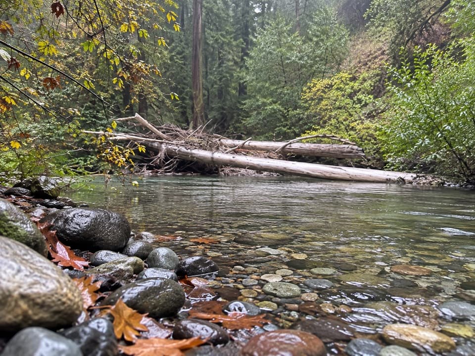 ChallengingPine Ridge Trail to Ventana Camp9.9 mi · 7 hr · At the trailheadA tough Pine Ridge out-and-back to a riverside camp.
 ModeratePine Ridge and Post Creek Trail3.3 mi · 1.8 hr · At the trailheadA redwood climb ends at a platform above a wooded valley.
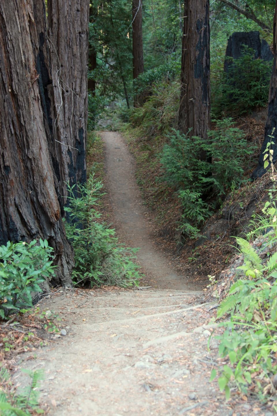 ChallengingPine Ridge Trail22.3 mi · 14 hr · At the trailheadA strenuous, one-way traverse from river redwoods to high ridges
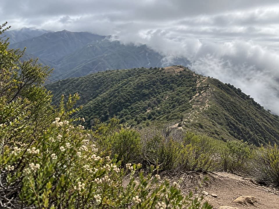 ChallengingMount Manuel Trail9.1 mi · 8 hr · 0.2 mi awayA long, sunny climb to a rocky ridge above Big Sur.
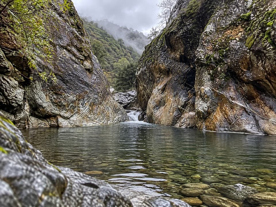 EasyBig Sur River Gorge Trail0.5 mi · 24 min · 0.2 mi awayA short paved walk to the Big Sur River gorge.
 EasyNature Trail0.7 mi · 30 min · 0.3 mi awayAn easy redwood walk with twelve plant stops and a river return.
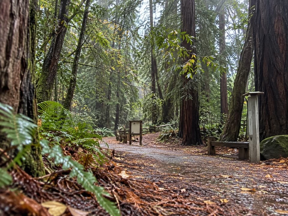 EasyRiver Path and Warden's Path0.6 mi · 18 min · 0.3 mi awayAn easy river loop under redwoods, linked by footbridges.
 ModerateBuzzard's Roost Trail3 mi · 2.5 hr · 0.4 mi awayShady redwoods give way to a sunny ridge above the ocean.
 Visitor center · 0.1 mi awayBig Sur Station Visitor CenterGet maps and local advice before choosing your next stop.
 Campground · 0.2 mi awayPfeiffer Big Sur State Park CampgroundA redwood campground with the river and park trails close by.
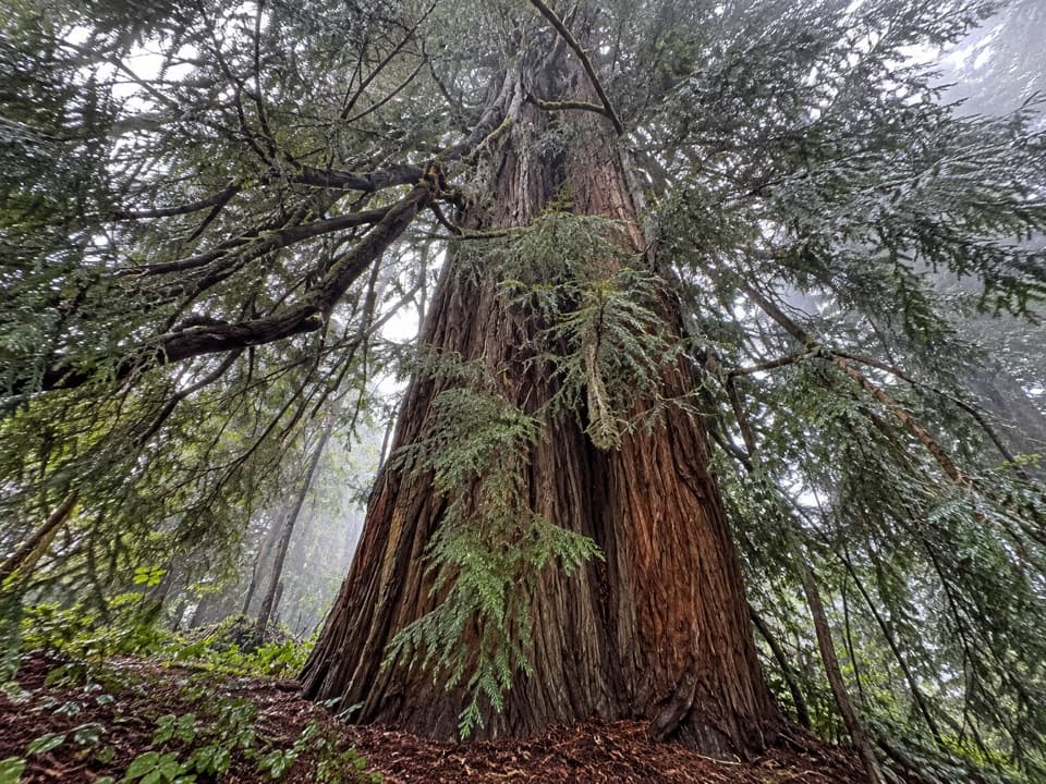 Sight · 0.2 mi awayColonial TreeA quick stop beneath the park’s biggest, probably oldest redwood.
 Sight · 0.3 mi awayWarden's HouseA small CCC-era warden's house in park-rustic stone and timber.
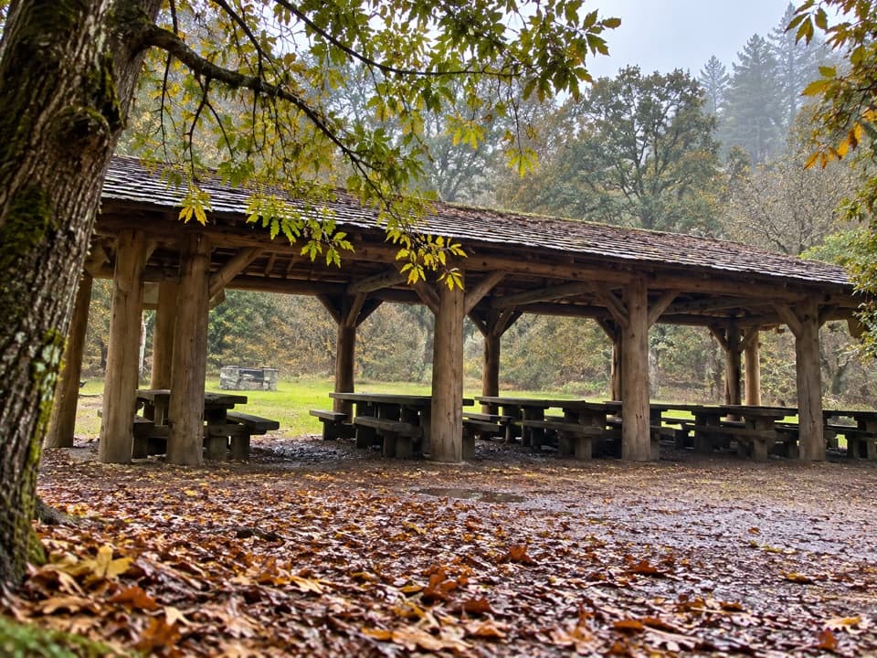 Picnic area · 0.3 mi awayRiverside Picnic Areas A, B and CThree CCC-built picnic areas by the Big Sur River.
 Picnic area · 0.3 mi awayMain Day Use Picnic AreaA shady, practical meal stop among Pfeiffer Big Sur’s park walks.
 Visitor center · 0.3 mi awayEwoldsen Memorial Nature CenterTry the digital condor flight built from real local flight paths.
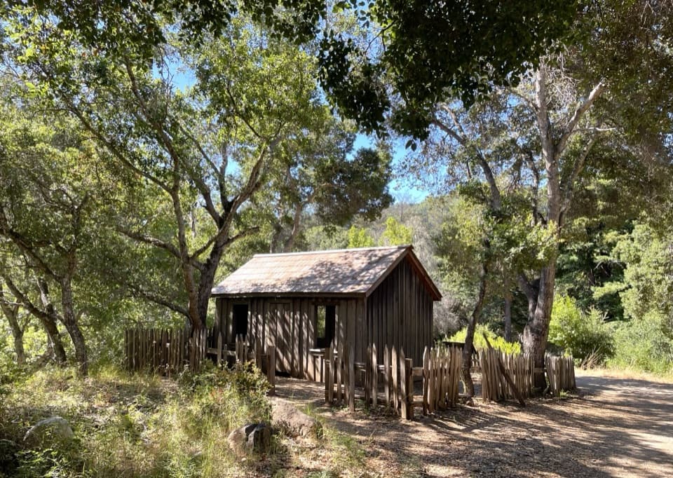 Sight · 0.3 mi awayHomestead CabinA brief heritage stop before Big Sur River Gorge.
Parkwolf’s Pfeiffer Big Sur ranking

The audio tour guide for the drive, plus offline maps, trails, and wildlife heatmaps for when the signal drops.

