
Place · 0 mi away
Moderate
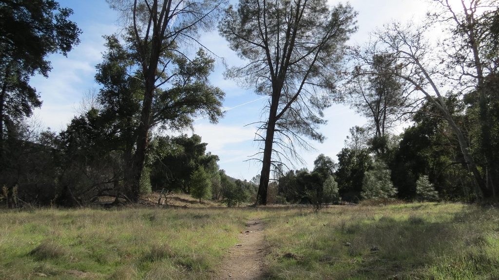
If you want a quieter corner of Pinnacles, this is it. The South Wilderness Trail is about 6.5 miles round trip when hiked from the campground via the Bench Trail, with very little elevation gain. It follows Chalone Creek through open oak savanna and riparian pockets toward the park’s southern boundary, ending at a fence—then you turn around.
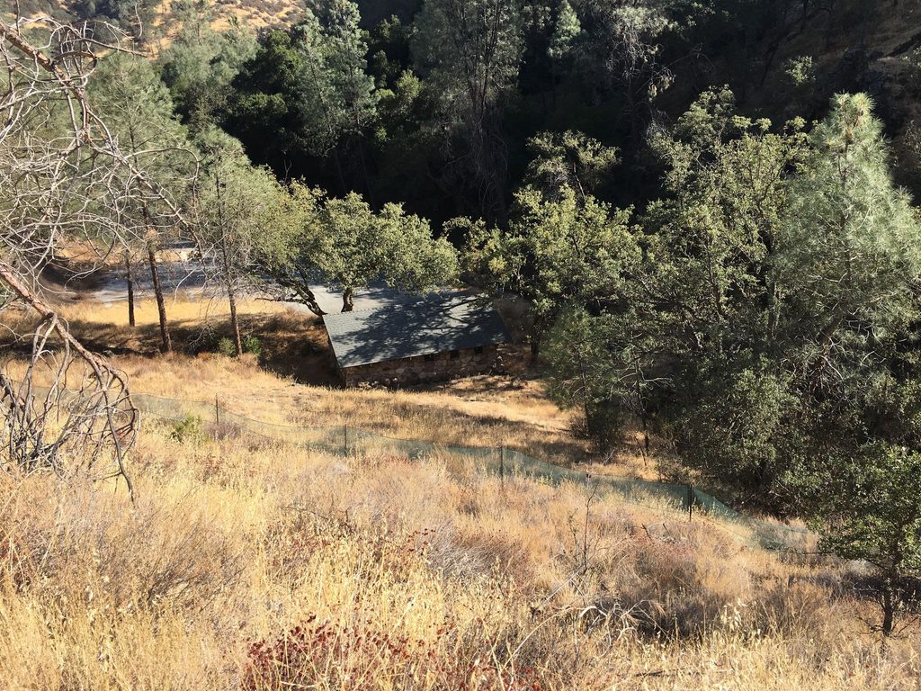
This is a mellow, mostly flat wander with a few brief rises to bypass creek bends. Expect wide valley views, valley oaks and sycamores, and stretches right along (or above) the creek. As you head south, the valley narrows and the trail climbs slightly along the creek bank. It’s less manicured than the park’s headline routes—some segments are faint, sandy, or in washes—and you’ll likely cross the creek. Near the far end, the path can get vague; look for tread and cairns and trust your navigation.
This isn’t about dramatic pinnacles—think savanna, seasonal creek scenes, and distant silhouettes of the high country. Keep an eye out for coveys of quail, black‑tailed deer, jackrabbits, and soaring raptors like golden eagles. Spring brings wildflowers, including California poppies and sacred datura.
Spring and fall deliver the friendliest temperatures and the best greenery/blooms. Summer can top 100°F, so start at dawn and bring plenty of water and sun protection. Weekdays are usually quiet; even on busy weekends this route stays relatively uncrowded compared to the caves and High Peaks.
Bottom line: underrated if you value solitude, birding, and easy miles; underwhelming if you’re chasing the park’s namesake spires.
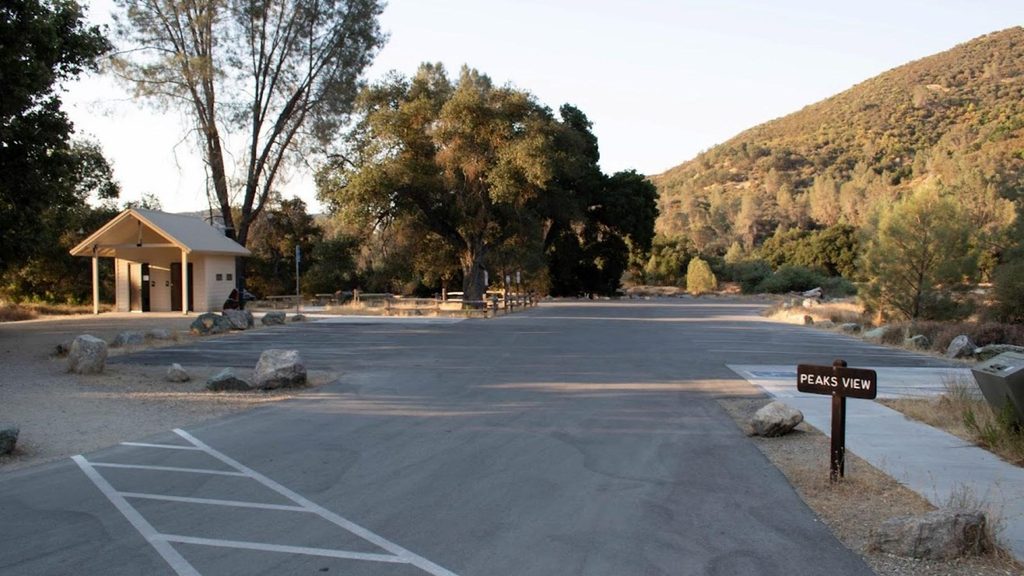
Park at the east side Pinnacles Visitor Center or campground lots and walk the Bench Trail to the signed South Wilderness junction. On busy weekends use the campground/overflow parking and shuttle. Note: the park’s east and west sides are not connected by road.
Unmaintained, faint segments near sandy washes; seasonal creek crossings; intense summer heat and long sun exposure; poison oak and rattlesnakes; limited cell service—carry ample water and offline maps.
Place · 0 mi away
Place · 0.9 mi away
Place · 1.1 mi away
Place · 1.1 mi away
Challenging · 1.1 mi away
Challenging · 1.1 mi away
Moderate · 1.1 mi away
Moderate · 1.1 mi away

Parkwolf Tour Guide
