Parking
Bear Gulch Day Use Area is the start. From CA-25, take Pinnacles East Entrance Road and stay left at the fork. The Bear Gulch Nature Center/day-use lot has limited spaces and can fill on busy days; arrive early.
#1 of 25 trails in Pinnacles
Pinnacles National Park, CA
A strenuous circuit through volcanic spires and an exposed, narrow ridge.
Overview
Map & elevation
Plan your hike

The highest, rockiest slopes around here are a summer buffet for grizzly bears.
Pinnacles Tour Guide
Parkwolf is a GPS audio tour guide for Pinnacles National Park. As you drive, it chimes in with what’s ahead: hidden gems, upcoming stops, history, geology, and wildlife, right through your car’s speakers.
Recorded for this trailhead
Bear Gulch to High Peaks“Up ahead is Bear Gulch Day Use Area, with access to the Condor Gulch and High Peaks loop. Allow three to five hours for this strenuous five point three mile hike among the spires.”
Plays as you drive up to this trailhead in the Parkwolf Pinnacles Tour Guide.
More stories near here in the app
“Fantastic app with many points of information… It’s great to just turn on while you’re driving and it gives you an audio tour of the national Park. We love it!!!!”


Trail guide
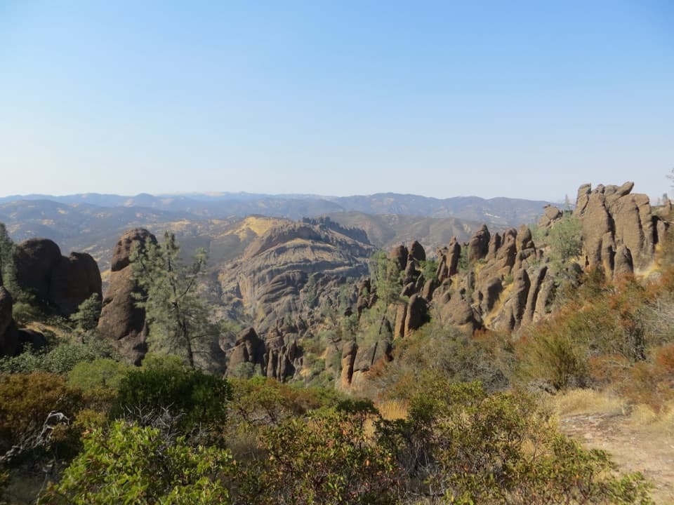
Condor Gulch to High Peaks is a strenuous 5.3-mile loop from Bear Gulch Day Use Area. It climbs Condor Gulch, crosses the High Peaks ridge through its Steep and Narrow section, then returns to the day-use area. Plan on about 1,300 feet of gain and three to five hours. Do this one if the Pinnacles spires are your reason for coming; skip it if exposed steps and narrow ledges make hiking stressful.
There is no shade or drinking water along the loop, and the High Peaks can run about 10°F hotter than the parking area. In hot weather, avoid hiking between 10 a.m. and 4 p.m. and carry at least a liter of water for each hour. This is an exposed climb for most of the day, not a route where you'll cool down in the trees.
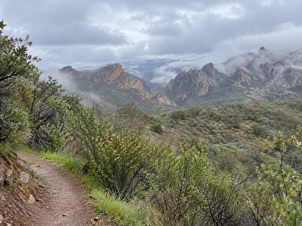
The trail leaves Bear Gulch through open oak and gray-pine slopes. The grade steepens after about half a mile; the Condor Gulch Overlook arrives roughly a mile from the start, with the volcanic amphitheater and Bear Valley opening below. Keep climbing along the ridge to the High Peaks junction, about 1.7 miles in and already more than 1,000 feet above the trailhead.
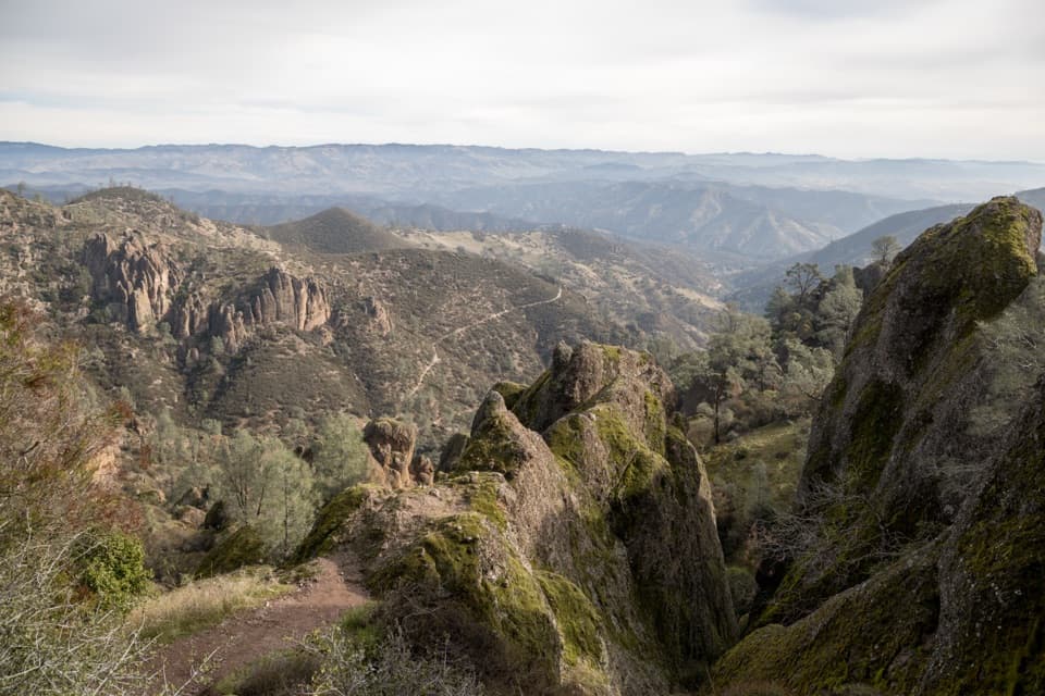
High Peaks closes in around the volcanic spires. The Steep and Narrow section squeezes between rock walls, then uses short, steep steps cut into the stone, with footholds and handrails. One overhang is low enough that hikers duck underneath it. Move carefully through these passages; if an exposed ledge puts you off, this is the stretch to weigh before starting.
Views shift from Bear Valley and Chalone Peak toward the Salinas Valley and the Santa Lucia Range. Condors frequent High Peaks, though sightings are never a sure thing. Pinnacles has worked on California condor recovery since 2003 with Ventana Wildlife Society. For a useful phone photo, include a bit of the trail against a nearby spire so the narrow ridge has some scale.
These rocks began as a volcanic field about 23 million years ago near present-day Lancaster, roughly 195 miles southeast. Movement along the San Andreas Fault carried them north, while erosion exposed the pinnacles and fractured walls you walk among now. The trail passes right through that broken volcanic terrain rather than climbing to a single summit.
The separate Moses Spring to Rim Trail Loop is about 2.2 miles round trip and reaches the reservoir, with Bear Gulch Cave as a seasonal detour. Choose it if you'd rather see the cave and water than take on the longer exposed ridge. Bring a light for the cave passage when it is open.
Start at Bear Gulch Day Use Area. The Bear Gulch Nature Center and another restroom at Scout Peak junction make useful stops, but there is no water along the trail. Dogs are not allowed on park trails. Parking at the day-use lot is limited and can fill on busy days, so arrive early.
Wildlife
 47 sightingsCalifornia CondorMost seen around 1 PMSighting map
 26 sightingsMule DeerMost seen around 6 PMSighting map
 19 sightingsChipmunkMost seen around 7 AMSighting map
 33 sightingsTurkey VultureMost seen around noonSighting map
 26 sightingsAcorn WoodpeckerMost seen around 8 AMSighting map
 16 sightingsSteller's JayMost seen around 8 AMSighting map
Sighting maps show where each species has been reported across Pinnacles. Wildlife moves, so no sighting is guaranteed.
Keep exploring
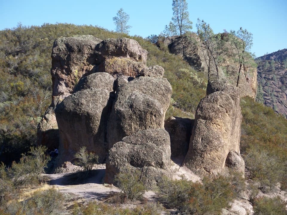 ChallengingHigh Peaks to Bear Gulch Loop6.7 mi · 4.5 hr · At the trailheadA steep ridge climb, tight rock passages, and a shaded return.
 ModerateMoses Spring Trail to Bear Gulch Reservoir1 mi · 1.3 hr · 0.1 mi awayA short rocky climb to a ferny grotto and stone dam.
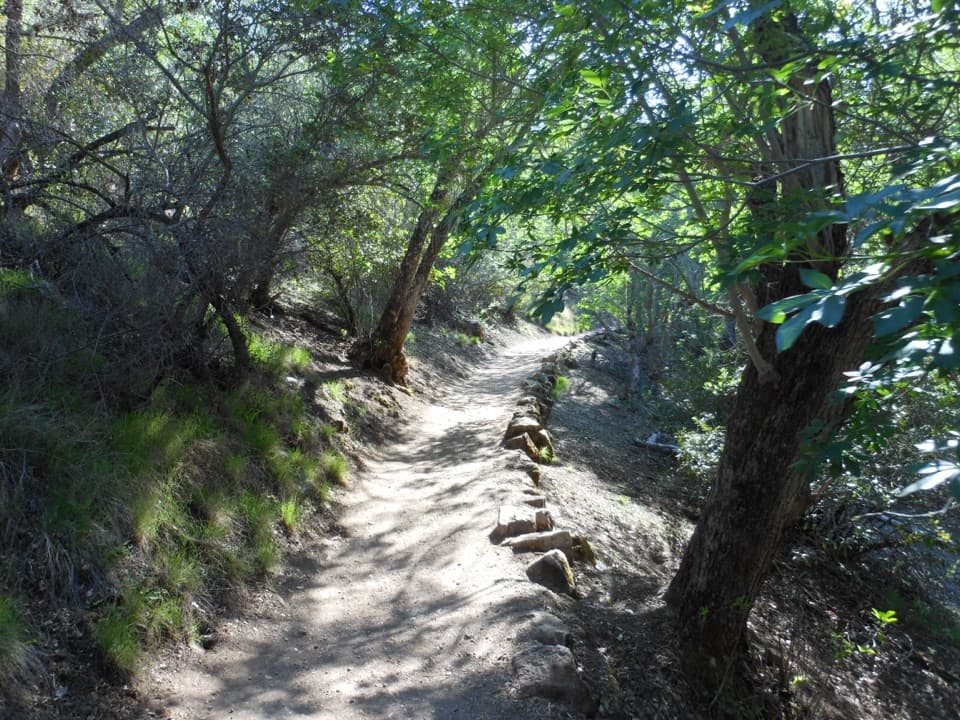 ModerateMoses Spring to Rim Trail Loop2.2 mi · 1.5 hr · 0.2 mi awayA short loop linking Bear Gulch’s cave, reservoir, and rim.
 ModerateCondor Gulch Trail to Overlook2 mi · 1.8 hr · 0.2 mi awayA steady mile leads to a rocky overlook into Condor Gulch.
 ChallengingChalone Peak Trail9 mi · 5 hr · 0.3 mi awayAn exposed climb to the park’s high point and a closed lookout.ChallengingSouth Chalone Peak Trail9.8 mi · 6.5 hr · 0.4 mi awayA long, unmaintained branch to the southern ridge.
 ModerateSycamore Trail1 mi · 45 min · 1 mi awayA gentle creekside mile between Peaks View and Bear Gulch.
 EasyBench Trail Accessible Section0.8 mi · 30 min · 1.3 mi awayOak shade and High Peaks views on a gentle accessible walk.
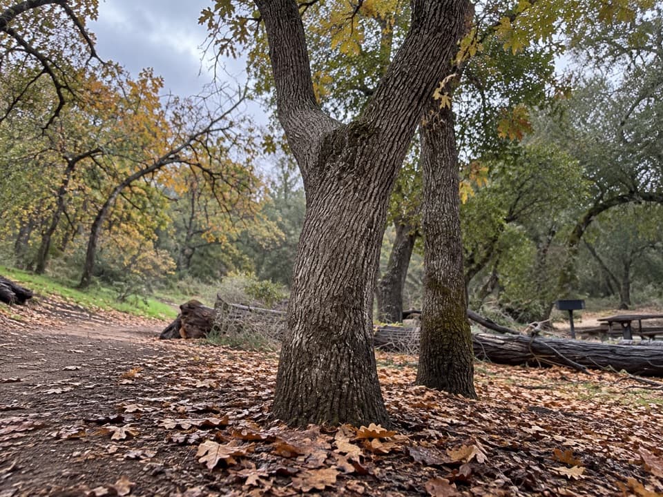 Picnic area · 0.1 mi awayBear Gulch Picnic AreaA small picnic grove between Moses Spring and Bear Gulch Day Use.
 Sight · 0.2 mi awayDiscovery WallA technical crag where weak volcanic rock demands care.
 Sight · 0.3 mi awayBear Gulch Day Use AreaPark once for east-side trails and a rocky-hills view.
 Sight · 0.3 mi awayMoses SpringA rock-wall spring worth a pause; don’t drink the water.
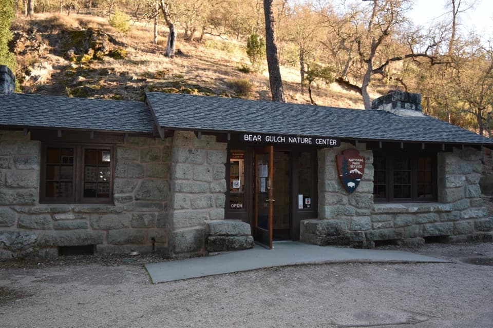 Visitor center · 0.3 mi awayBear Gulch Nature CenterA compact ranger stop before Bear Gulch trails
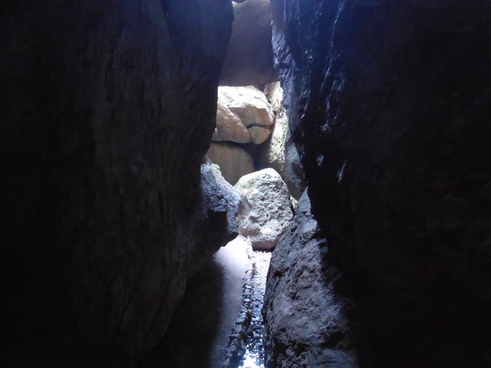 Sight · 0.3 mi awayBear Gulch CaveA boulder-built cave passage leads toward Bear Gulch Reservoir.
 Sight · 0.4 mi awayThe MonolithA steep volcanic face beside the reservoir, famous among climbers.
 Sight · 0.4 mi awayBear Gulch ReservoirStill water mirrors the spires above the rocky cave route.
Parkwolf’s Pinnacles ranking

The audio tour guide for the drive, plus offline maps, trails, and wildlife heatmaps for when the signal drops.