
Place · 0 mi away
Challenging
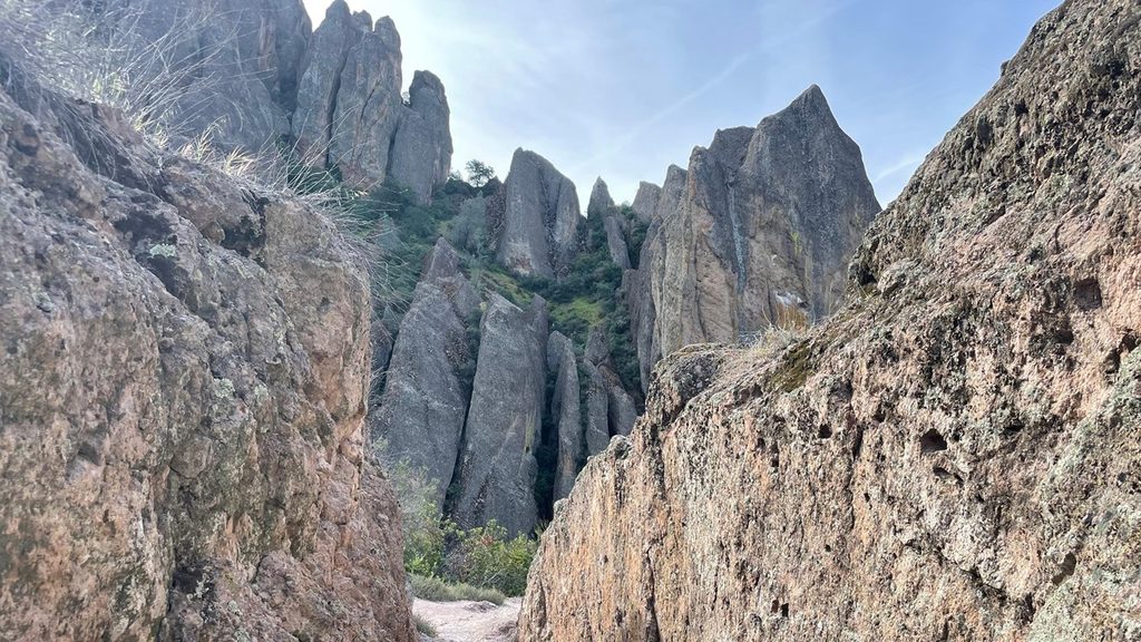
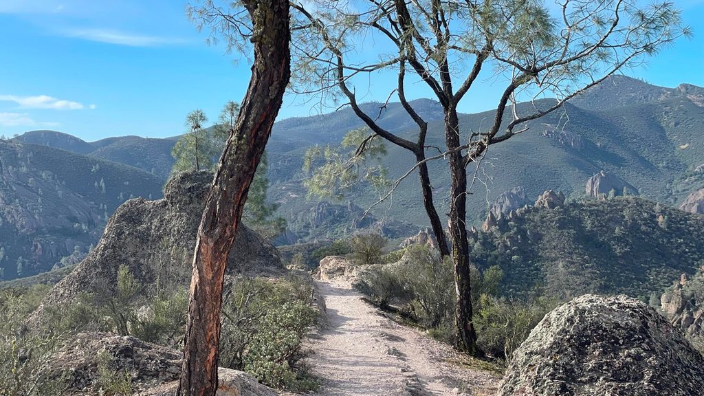
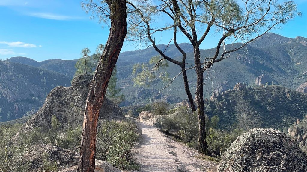
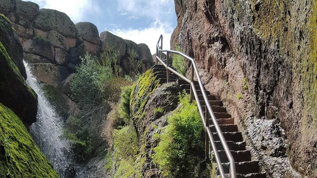
If you’re coming to this park for one hike, make it the High Peaks. The classic loop clocks about 6.7 miles total and is rated strenuous thanks to big climbs, carved rock stairs, and exposed, narrow traverses. Expect limited shade, sweeping panoramas, and a real chance to watch endangered California condors glide past at eye level. Variants range from the shorter 5.3-mile Condor Gulch–High Peaks loop to the longer 8.4-mile High Peaks–Balconies Cave combo.
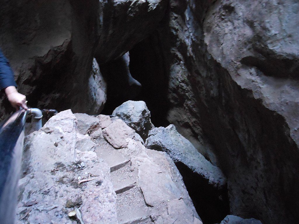
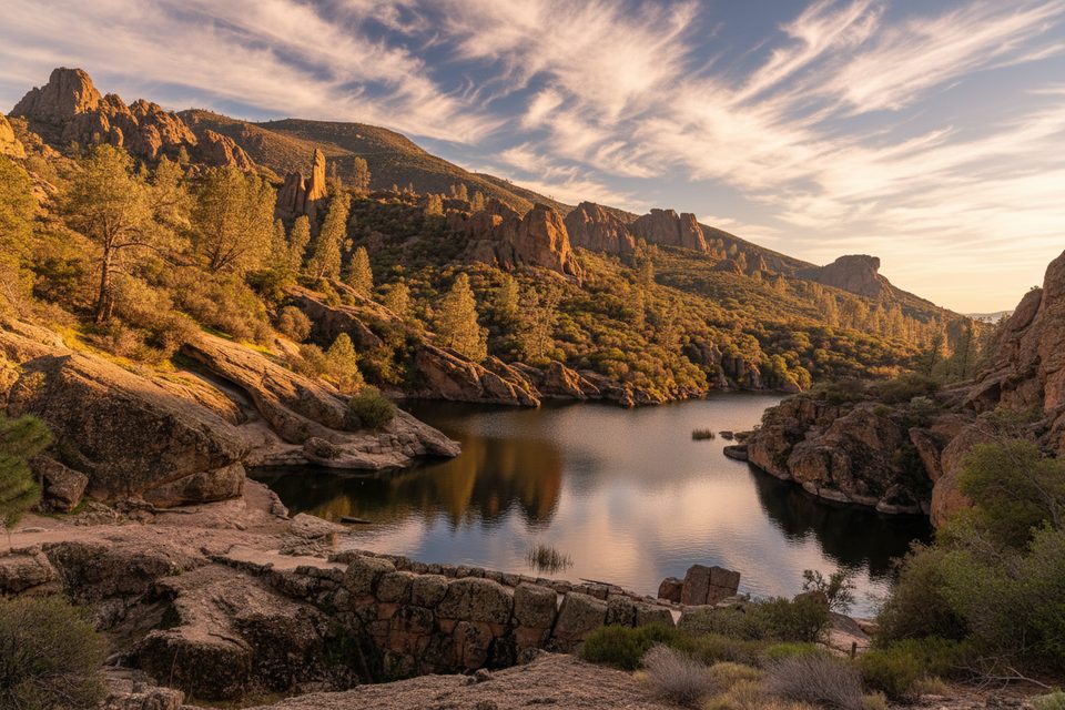
From the east side (Bear Gulch/Moses Spring), two marquee loops hit the heart of the route: Condor Gulch to High Peaks (about 5.3 miles, ~1,300 ft gain) and High Peaks to Bear Gulch (about 6.7 miles, ~1,425 ft gain). Many hikers add Bear Gulch Cave and the reservoir when open—bring a headlamp and confirm seasonal cave closures for bat protection. From the west side (Chaparral), Juniper Canyon rockets you into the High Peaks, and you can link an “upper High Peaks” sampler or go big with the 8.4-mile Balconies Cave loop.
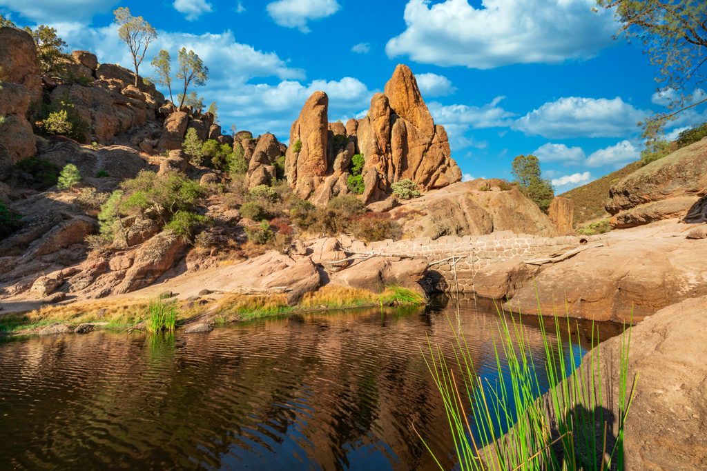
This is the park’s signature terrain: knife-edge ridges, stairways cut into volcanic rock, and the famed “Steep and Narrow” where railings help you across airy ledges. Grades are real—one short section reaches roughly 18%—and footing is rocky in places. Keep an eye out for raptors riding thermals, especially California condors and peregrine falcons. In a good year, wildflowers pop from February through May.
It’s strenuous. The exposure isn’t technical, but if heights make you uneasy, plan to turn around or choose a variant that avoids the most exposed bits. The trail is largely exposed to the sun; heat and dehydration are the biggest gotchas here.
Spring and fall are prime. Winter is excellent when storms aren’t closing caves or making rock steps slick. From late spring through early fall, start at dawn—summer temperatures can top 100°F and shade is limited. Weekdays see fewer crowds; parking fills fast on weekends.
Carry plenty of water (plan aggressively in heat), sun protection, and sturdy traction footwear. If you’re including caves, a headlamp is non-negotiable. Watch for poison oak, stinging nettles, and rattlesnakes. Cell service is spotty and medical help is a long way off, so leave your plan with someone and carry a map.
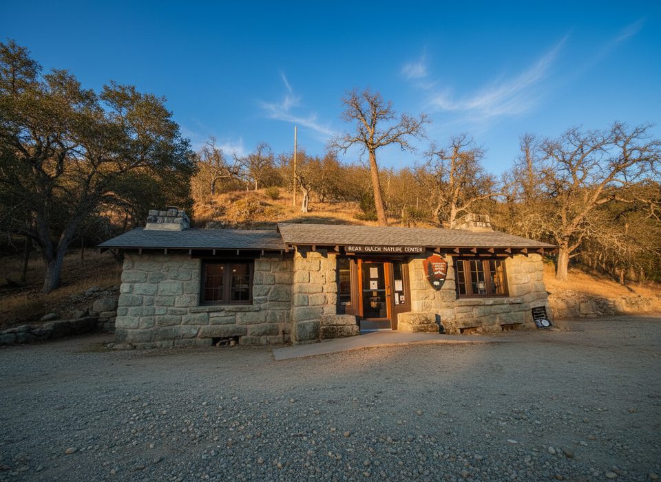
East side access (off CA-25) has most facilities, including the visitor center and campground. There’s no road connecting the park’s east and west entrances—choose your start wisely. Parking near Moses Spring/Bear Gulch and at Chaparral is limited; arrive early. The west entrance road has set hours; don’t get locked in. Services are sparse nearby; the closest full services and gas are in Hollister, roughly 45 miles away.
Consider the west-side Juniper Canyon climb to the High Peaks and back for a concentrated hit of views and the “Steep and Narrow” without committing to the longest loop.
East side: park at Bear Gulch/Moses Spring day-use area to access Condor Gulch and High Peaks variants, or link Bear Gulch Cave when open. West side: park at Chaparral (Juniper Canyon/ Balconies access). Lots fill early, and there is no road between entrances.
Heat and exposure are the main hazards; carry ample water and sun protection. Expect steep, narrow sections with significant drop-offs. Watch for poison oak, stinging nettles, and rattlesnakes. Bring a headlamp for caves and check seasonal closures. Limited cell service; west entrance road has set hours.
Place · 0 mi away
Place · 0 mi away
Place · 0.6 mi away
Place · 0.6 mi away
Challenging · 0 mi away
Moderate · 0 mi away
Moderate · 0 mi away
Easy · 0 mi away

Parkwolf Tour Guide
