
Place · 0 mi away
Moderate
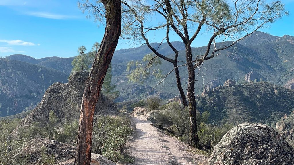
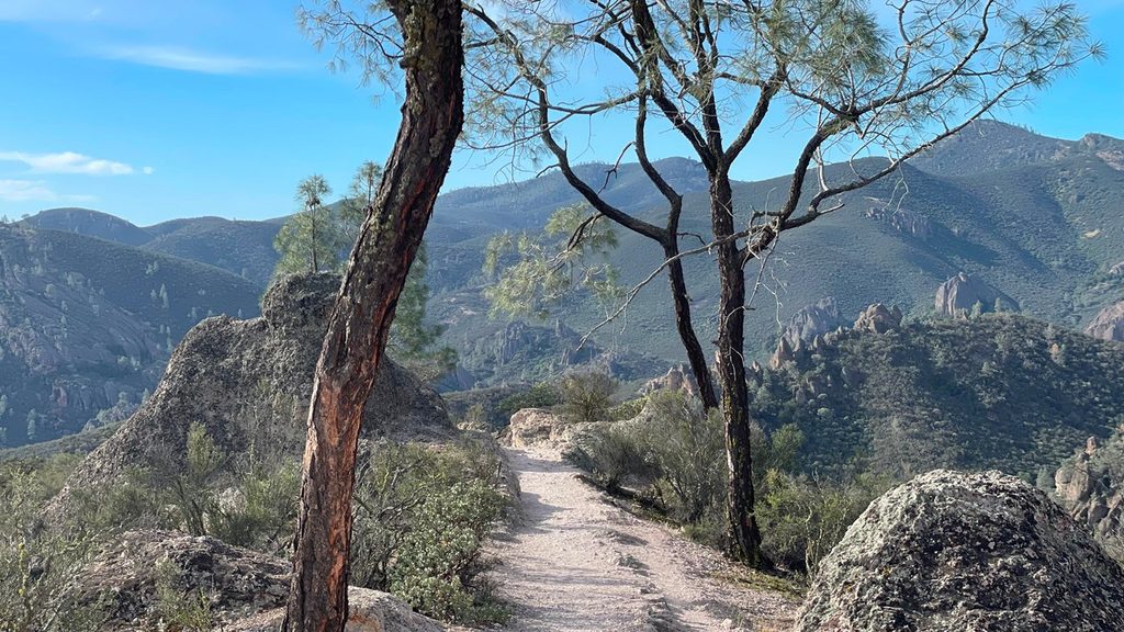
Condor Gulch is the east-side stairmaster of Pinnacles: short, steep, and view-packed. Most hikers do the Condor Gulch Overlook as a 2.0-mile out-and-back (about 1 mile up, ~600 feet of gain) for the best bang-for-buck views. The full Condor Gulch Trail continues past the overlook to the High Peaks junction (1.7 miles one way, ~1,100 feet of gain) and is often used as the front half of longer loops.
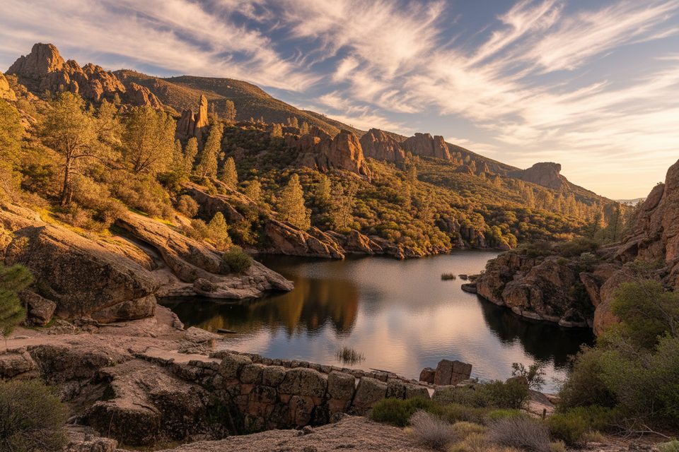
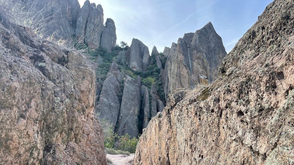
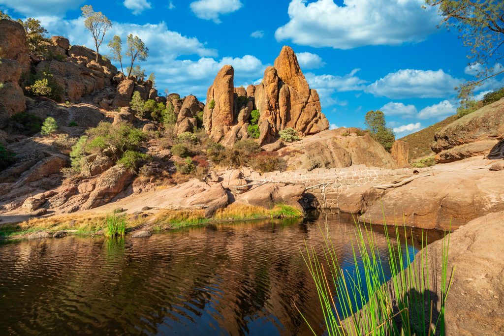
This route climbs quickly to sweeping vantages of the park’s spires and craggy High Peaks—remnants of an ancient volcano transported by the San Andreas Fault. It’s also prime territory to spot soaring California condors, with turkey vultures frequently sharing the airspace. Expect classic chaparral and volcanic formations; note that the scenery can feel repetitive during the sustained uphill, but the overlook delivers the payoff.
Spring is prime—cooler temps and wildflowers. Winter can be lovely after a couple of dry days. Summer heat is no joke here; avoid 10 a.m.–4 p.m. and start at sunrise for cooler temps, softer light, and better condor activity. Parking at Bear Gulch fills early on weekends; arriving before 7–8 a.m. helps.
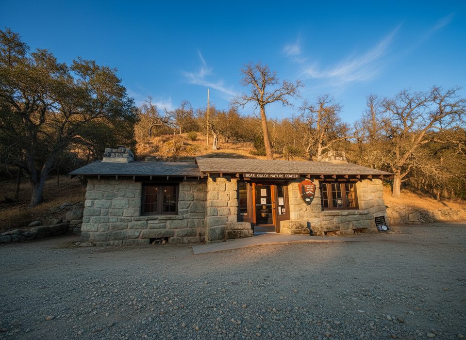
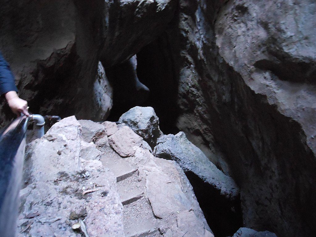
Start from the Bear Gulch Day Use Area/Visitor Center on the park’s east side; the trailhead is steps from the lot (restrooms available). There is no road connecting east and west entrances, so commit to the east for this hike. If you plan to include caves on your return (Rim/Moses Spring), bring a headlamp and check seasonal cave closures in advance. Download/print a park map—junctions in the High Peaks can be confusing and cell service is limited.
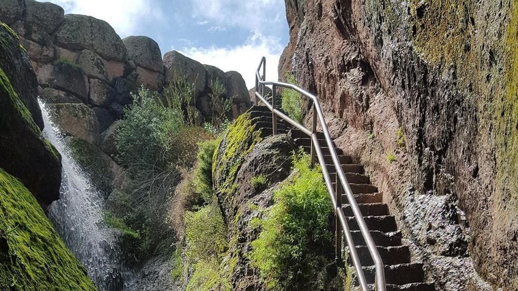
This hike is exposed and can be very hot. There’s no potable water on the trail—carry at least one liter per hour of hiking, plus electrolytes. Wear sun-protective clothing, a hat, and sturdy, non-slip footwear. Stay on marked trails and watch for poison oak, stinging nettle, and rattlesnakes. Pets aren’t allowed on park trails. If continuing into the High Peaks, expect steep, narrow sections with railings and carved steps—know your limits.
Park at the Bear Gulch Day Use Area/Visitor Center (East Entrance). The trailhead is next to the lot; arrive early as parking often fills by 8 a.m. Restrooms available at the lot.
Intense sun and heat; carry at least 1 liter per hour—no water on trail. Limited cell service. Steep, rocky footing. Watch for poison oak, stinging nettle, and rattlesnakes. Pets not allowed on trails. If adding caves, bring a headlamp and check closures. No road between east and west entrances—plan accordingly.
Place · 0 mi away
Place · 0 mi away
Place · 0.6 mi away
Place · 0.6 mi away
Challenging · 0 mi away
Challenging · 0 mi away
Moderate · 0 mi away
Easy · 0 mi away

Parkwolf Tour Guide
