Parking
Park at the Greenwich Trailhead lot at 61 Greenwich Road, Route 313. The Greenwich Interpretation Centre at 29 Wild Rose Road is a separate stop, not the trail start.
#4 of 15 trails in Prince Edward Island
Prince Edward Island National Park, PE
Fields, bay views, and a dune-edge loop on an easy walk
Overview
Map & elevation
Plan your hike

The highest, rockiest slopes around here are a summer buffet for grizzly bears.
Prince Edward Island Tour Guide
Parkwolf is a GPS audio tour guide for Prince Edward Island National Park. As you drive, it chimes in with what’s ahead: hidden gems, upcoming stops, history, geology, and wildlife, right through your car’s speakers.
Recorded for this trailhead
Greenwich Dunes and Beach“You're approaching the Greenwich trailhead, where the Dunes Trail leads through old fields to a floating boardwalk over Bowley Pond.”
Plays as you drive up to this trailhead in the Parkwolf Prince Edward Island Tour Guide.
“Fantastic app with many points of information… It’s great to just turn on while you’re driving and it gives you an audio tour of the national Park. We love it!!!!”


Trail guide
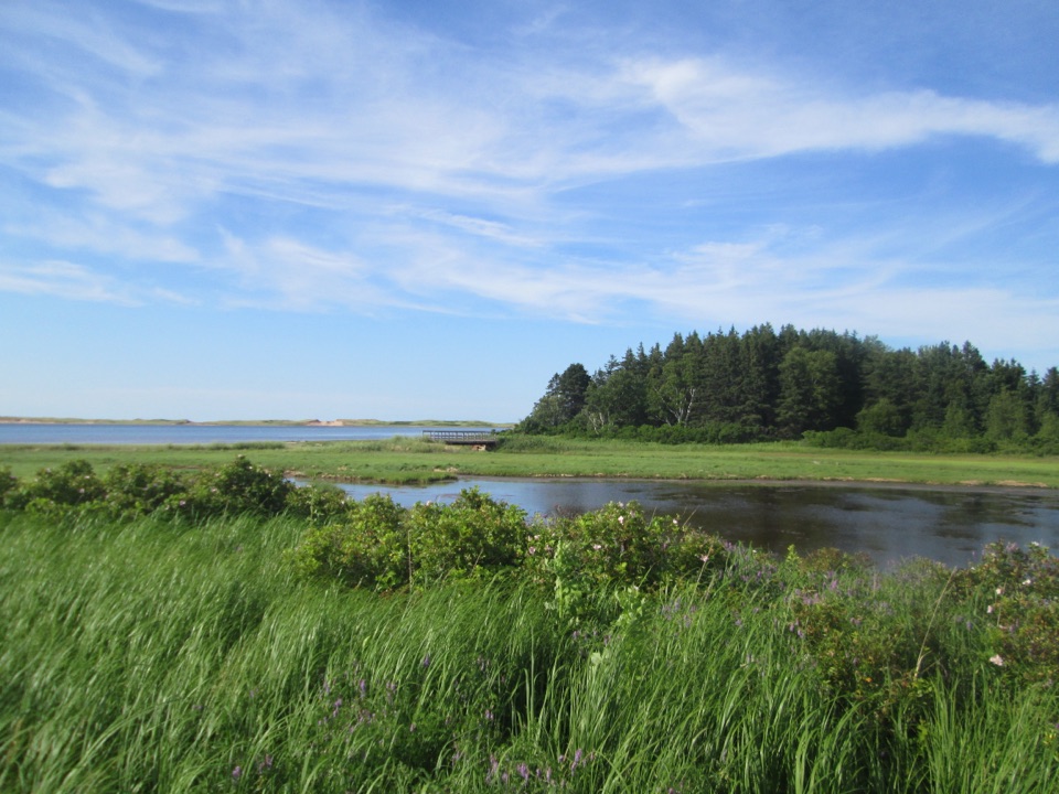
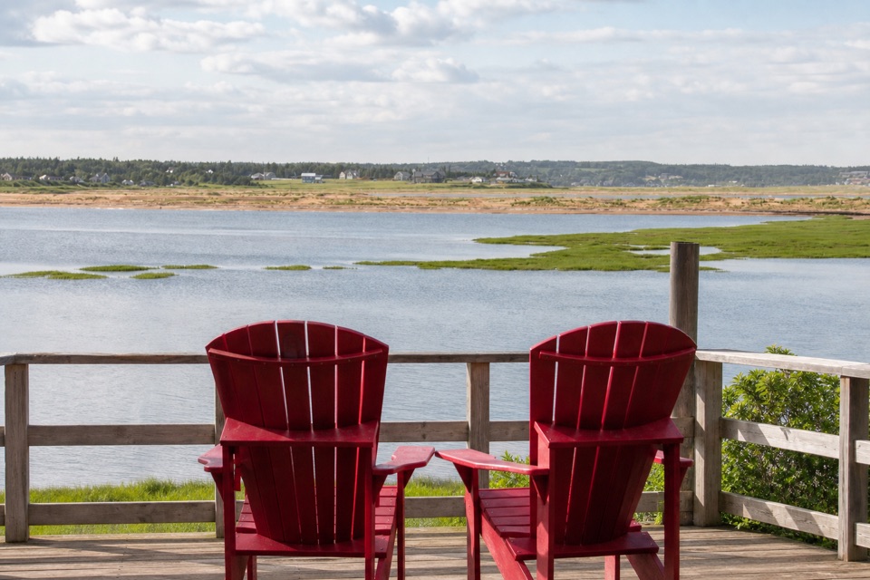
Tlaqatik is a 4.6-kilometre return hike from the Greenwich Trailhead, with a 2.4-kilometre loop at the far end. The rest is the shared approach to that loop, so this is a proper walk rather than a quick circuit beside the car park. It is easy, mostly flat with gentle rolling sections, and takes about an hour and a half if you stop for the views and the interpretive signs. I'd choose it when you want a varied coastal walk without a hard climb. The reward is the sequence: woods, open former fields, St. Peters Bay, a dune-edge boardwalk, and the story of a landscape people have used for thousands of years.
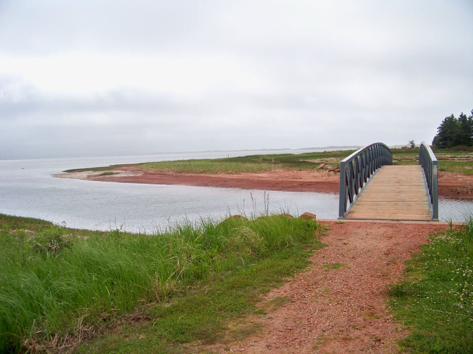
From the parking area, the wide crushed-gravel path starts through a small patch of woods. It soon turns through open fields where the land opens toward St. Peters Bay. The surface stays forgiving, but the route has a few tight or blind turns, so bicycles need care. You pass the junction for the short Havre Saint Pierre Trail, then continue toward the loop and the back side of the Greenwich dune system.
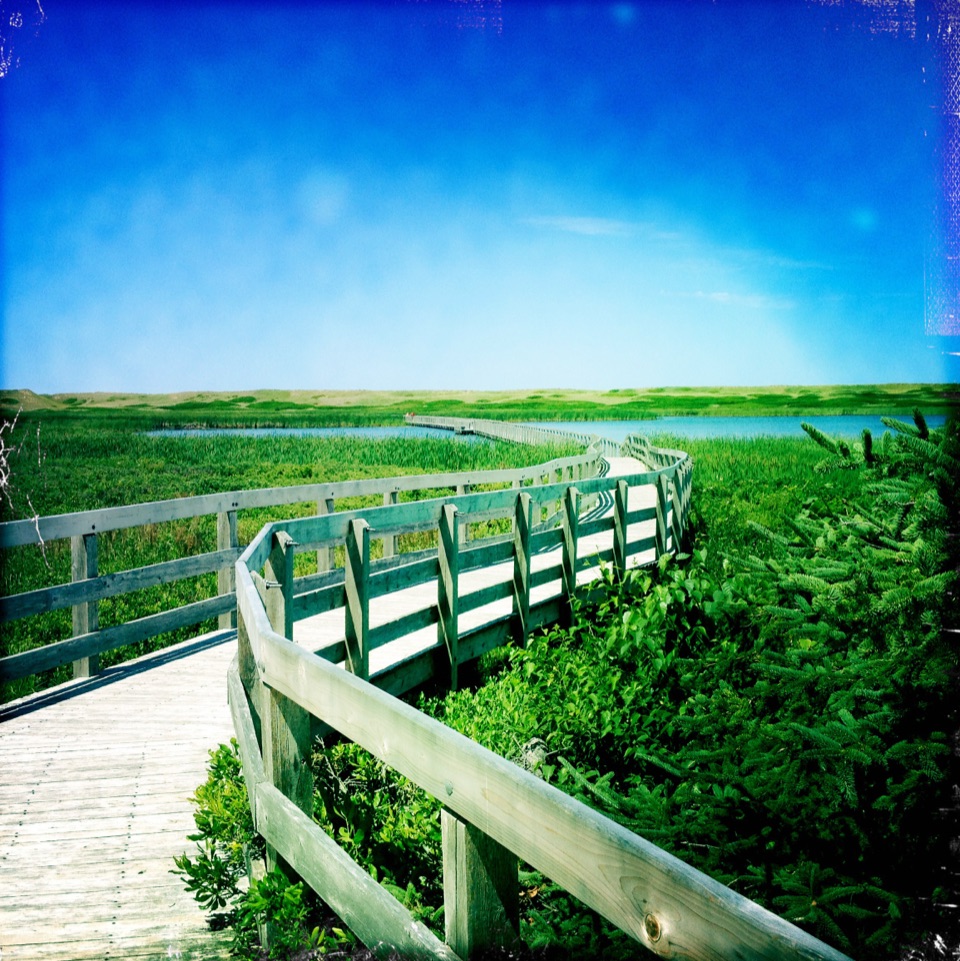
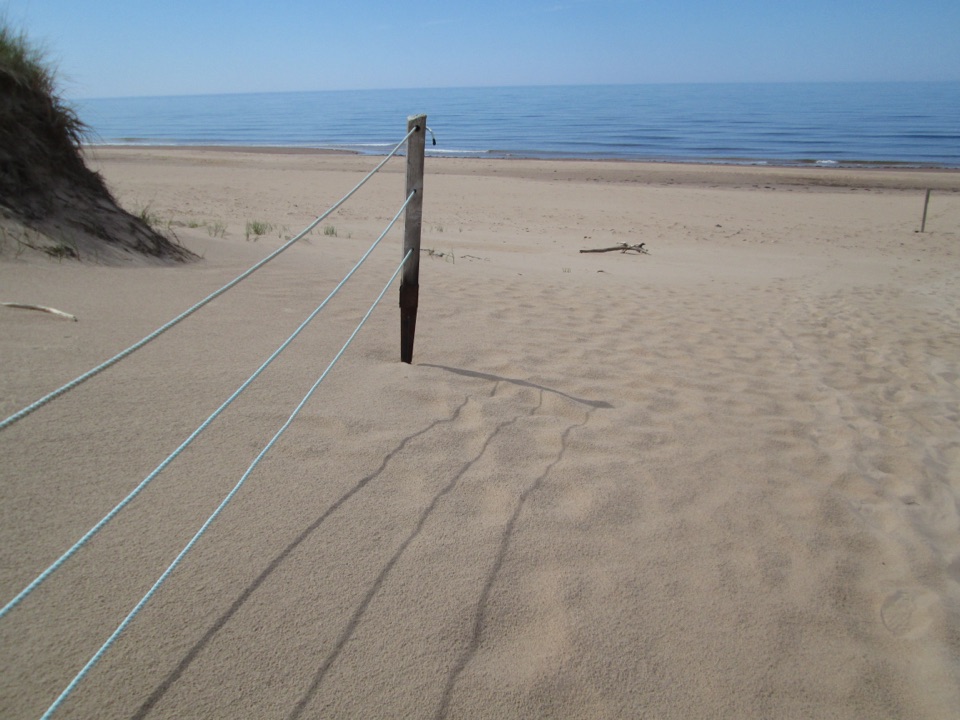
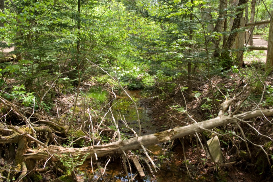
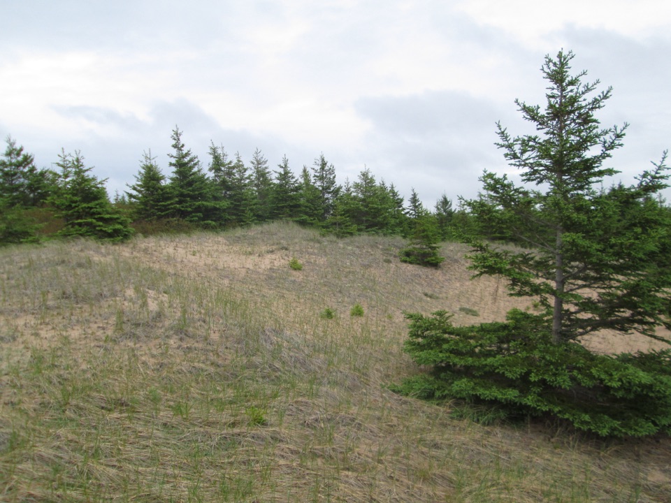
The old field is part of the experience, not just a gap in the trees. Interpretive signs tell the story of the Sanderson farmstead, which stood here until the house was removed in 1997. Look for the forked white birches and the patch of pink fireweed marking the former home site. Farther on, gravel gives way to wooden boardwalk sections among dune grass and white spruce. There is a slight bank down to beach access, but don't confuse this route with the longer Greenwich Dunes Trail that continues to the floating boardwalk and beach.
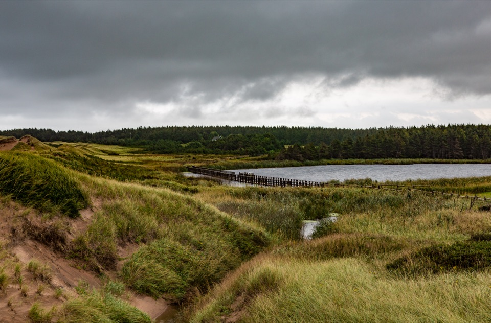
Tlaqatik is a Mi'kmaw word meaning “at the campsite.” Archaeological work around Greenwich has found evidence of human use going back roughly 10,000 years, including traces of Mi'kmaq communities and later French, Acadian, Scottish, Irish and English settlement. The dunes are unusual too: Greenwich protects large, mobile parabolic dunes and their counter ridges, a rare formation in North America. The trail lets you see that landscape at walking speed, with the bay and old fields explaining why this sheltered edge was useful long before it became a national park.
This is the place for a route-specific photograph. In the dune-edge section, get low enough to include the grass in the foreground and frame the white spruce against the sand. It shows the character of Tlaqatik better than a trailhead sign or a generic beach shot.
Use the Greenwich Trailhead parking lot at 61 Greenwich Road, Route 313. The Greenwich Interpretation Centre at 29 Wild Rose Road is a separate stop before the trailhead, with exhibits about the site's natural and cultural history. The beach facility has washrooms, change rooms, exterior showers and a picnic shelter, but those are separate from the Tlaqatik trail corridor, and no food service on the route was established.
Bikes are allowed, with hybrid or mountain bikes recommended, but riders must dismount at the boardwalk. Dogs are allowed on the trail only on a leash of no more than three metres; they are prohibited on PEI National Park beaches from April 1 to October 15, so the beach access is not a year-round option for a dog. Greenwich trails, boardwalks and stairs are not maintained between Thanksgiving and Victoria Day, and off-season use carries extra risk. If you want a shorter walk, do the 2.4-kilometre loop only if you have a legitimate way to reach its junction; for ordinary visitors, the published 4.6-kilometre return from the lot is the useful figure.
Wildlife
 100 sightingsBald EagleMost seen around 7 AMSighting map
 95 sightingsOspreyMost seen around 8 AMSighting map
 67 sightingsGreat Blue HeronMost seen around 7 AMSighting map
 104 sightingsRed FoxMost seen around 7 AMSighting map
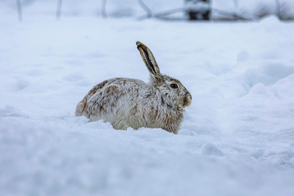 97 sightingsSnowshoe HareMost seen around 7 AMSighting map
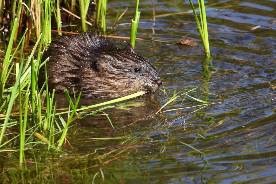 13 sightingsMuskratMost seen around 7 PMSighting map
Sighting maps show where each species has been reported across Prince Edward Island. Wildlife moves, so no sighting is guaranteed.
Keep exploring
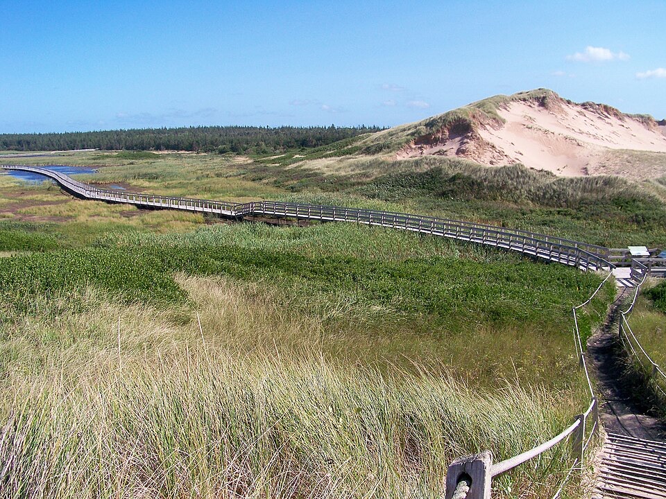 ModerateGreenwich Dunes Trail4.6 km · 2 hr · At the trailheadA floating boardwalk to PEI's rare parabolic dunes and a long beach.
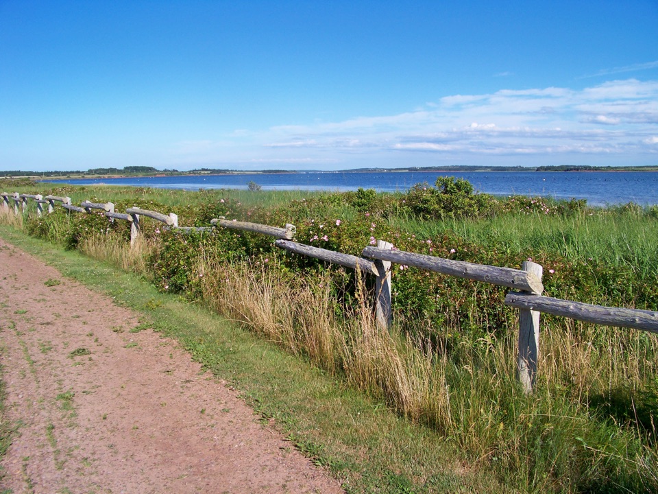 EasyHavre Saint Pierre Trail1.1 km · 45 min · At the trailheadA flat bay-side loop with a bit of PEI history
Parkwolf’s Prince Edward Island ranking

The audio tour guide for the drive, plus offline maps, trails, and wildlife heatmaps for when the signal drops.