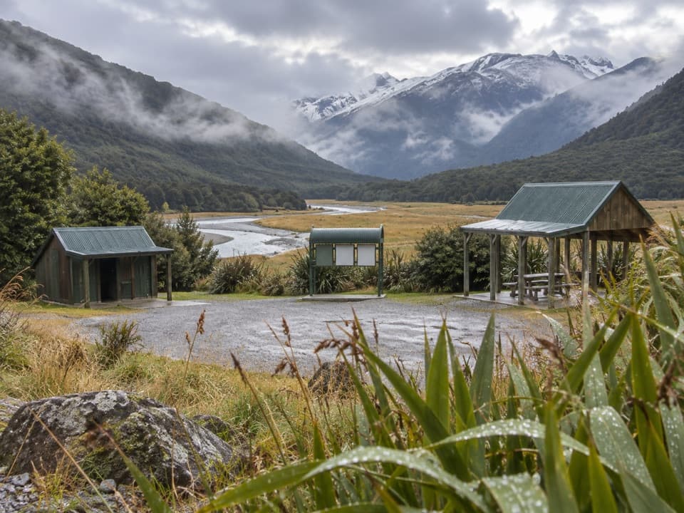
Cameron Flat Campsite in Queenstown-Lakes District, New Zealand

Campground · Queenstown-Lakes District, New Zealand

Cameron Flat Campsite

A handy riverside camp for a Blue Pools morning.

Type
Campground
Nearest trail
0.1 km
Audio stories
3 nearby
  • Restrooms
  • Parking

Hear the audio tour

Blue Pools
Download Parkwolf on the App StoreGet Parkwolf on Google Play

4.7 from 8,600+ ratings

Overview

About Cameron Flat Campsite

Why stop

  • Blue Pools track access is across SH6.
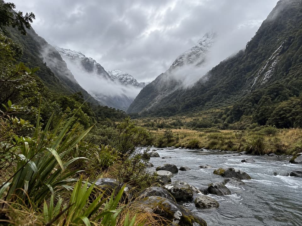
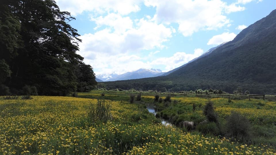
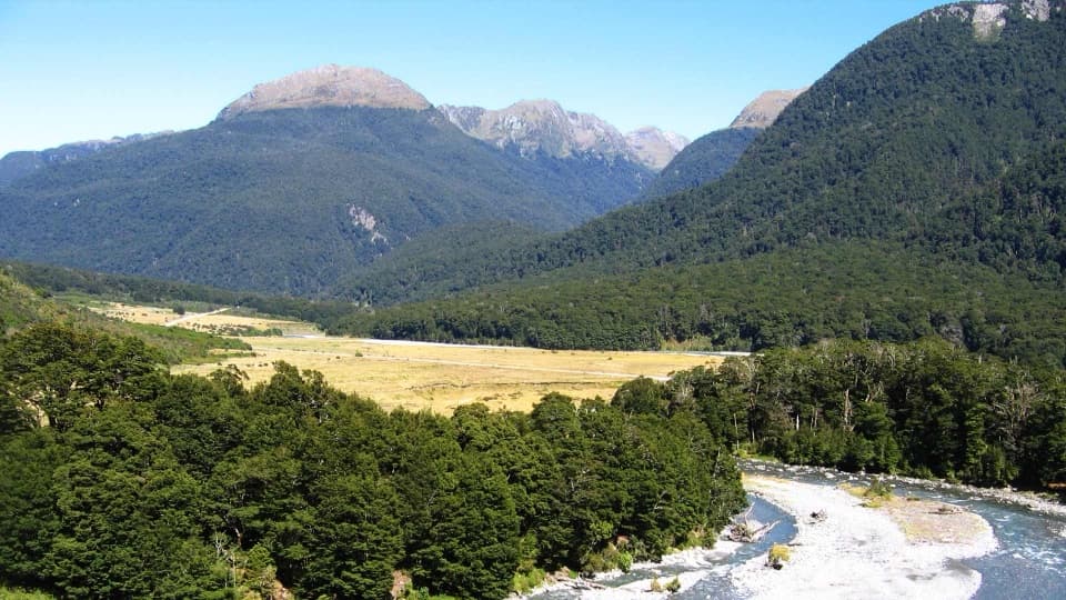
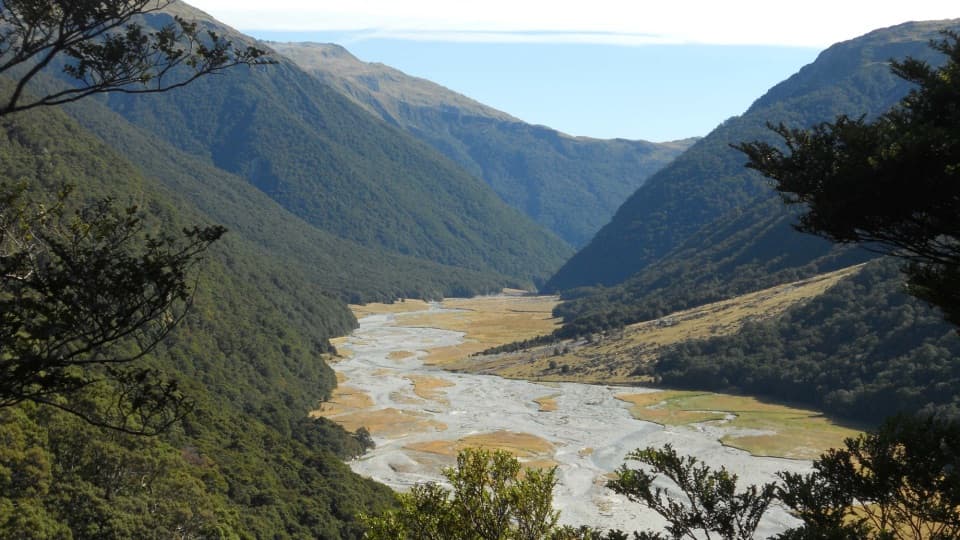
  • Open river-flat and mountain views from camp.

Heads up

  • Basic facilities and persistent sandflies.

Map

Where it is

Loading the Queenstown-Lakes District map
Full map
CampgroundCameron Flat Campsite-44.16122, 169.28729
Keep this map with you offline in the Parkwolf app

Plan your stop

Before you go

3 active Queenstown-Lakes District alerts

  • CautionRob Roy Track: stop at lower lookout during avalanche seasonFrom May to November, end your Rob Roy Track hike at the lower lookout: DOC strongly recommends this because the upper section crosses active avalanche paths.Official details
  • ClosureSkippers Bridge closed to all usersSkippers Bridge is closed to all vehicles, cyclists and pedestrians; stay off the bridge and obey closure signs and barriers.Official details

See all 3 alerts
A park ranger sits on a dash-mounted phone, talking, as Parkwolf’s Tour Guide plays “Army Cutworm Moths: A Grizzly Bear Buffet” on Grand Loop Road below Dunraven Pass in Yellowstone
Parkwolf Tour GuideThe highest, rockiest slopes around here are a summer buffet for grizzly bears.

Queenstown-Lakes District Tour Guide

Your drive to Cameron Flat Campsite, narrated.

Parkwolf is a GPS audio tour guide for Queenstown-Lakes District, New Zealand. As you drive, it chimes in with what’s ahead: hidden gems, upcoming stops, history, geology, and wildlife, right through your car’s speakers.

See the Queenstown-Lakes District audio tour

Recorded for this area

Blue Pools
0:00 / 0:24
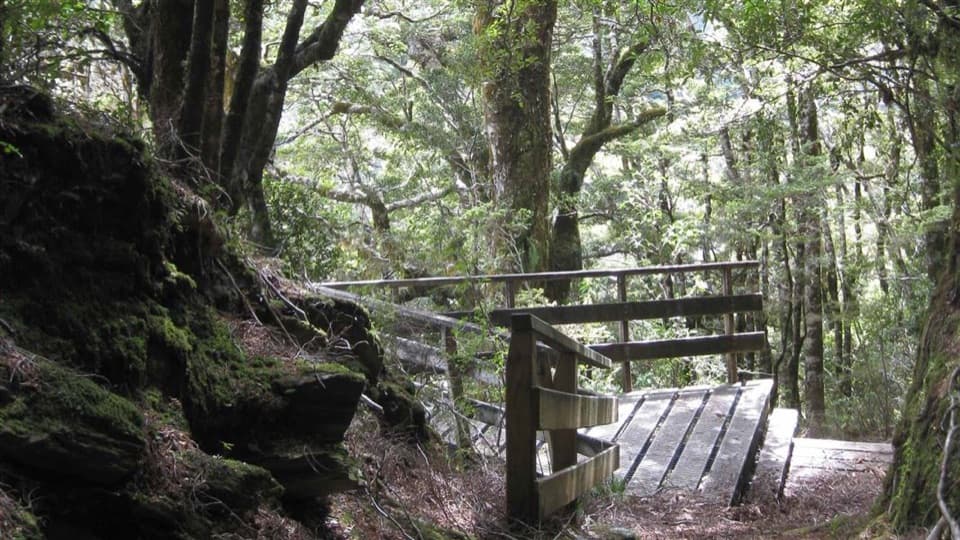
“You’re approaching the Blue Pools car park, where a walk through silver beech forest leads to clear, snow-fed river pools.”

Plays near Cameron Flat Campsite in the Parkwolf Queenstown-Lakes District Tour Guide.

More stories near here in the app

  • Cameron Lookout and Cameron Valley
  • The Whistle Above the Rapids
  • Makarora Valley Track
  • The Map Before Haast
  • 298 audio storiesacross Queenstown-Lakes District’s roads, triggered by GPS as you drive
  • Wildlife heatmapsfor Kea, Kākā, Kererū, and 13 more
  • Works offlinemaps, 155 trails, 129 places, and audio download before you lose signal
  • CarPlay readysimple controls built for the drive
★★★★★
“Fantastic app with many points of information… It’s great to just turn on while you’re driving and it gives you an audio tour of the national Park. We love it!!!!”
JMJamesApp Store review
Download Parkwolf on the App StoreGet Parkwolf on Google Play

4.7 from 8,600+ ratings

Guide

More about Cameron Flat Campsite

What you’re bookingThis is a basic campsite on the Makarora River flats, about 15 minutes north of Makarora beside…

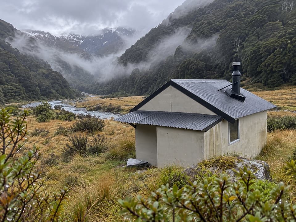
This is a basic campsite on the Makarora River flats, about 15 minutes north of Makarora beside SH6. It has 30 non-powered/tent sites and broad valley views. It’s a handy overnight base for the Blue Pools: the track access is across the highway, and you still walk from there to the pools. Book before you arrive; no spaces are held for walk-ups.

A simple campExpect a straightforward camp rather than a full-service holiday park.

Expect a straightforward camp rather than a full-service holiday park. There are long-drop toilets and a roofed cooking and eating shelter; reports on toilet condition are mixed. There’s no food shop or service at camp. Potable water isn’t confirmed, so bring drinking water or a way to treat the supply. Dogs aren’t allowed, and sandflies are a recurring nuisance around outdoor meals, so pack repellent. The access is sealed to the toilets, with gravel beyond.

A Māori travel routeKaika Paekai, “The place of abundant food,” is the name recorded for camps in Makarora Valley.

Kaika Paekai, “The place of abundant food,” is the name recorded for camps in Makarora Valley. Māori travelled through the valley toward the inland lakes to hunt moa, kākāpō and weka, and to fish. A pack track crossed Makarora Valley and Haast Pass from 1876; the road linking Wānaka with the West Coast was completed in 1965.

Beech-forest neighborsSilver beech dominates the wider Makarora area.

Silver beech dominates the wider Makarora area. On nearby walks, listen for pīwakawaka (fantail), miromiro (tomtit) and tiny titipounamu (rifleman). Endangered mohua (yellowhead) occur in some valleys, and yellow-crowned kākāriki are locally common. These are regional possibilities, not guaranteed campsite sightings.

Wildlife

Wildlife in Queenstown-Lakes District

All Queenstown-Lakes District wildlife maps

Sighting maps show where each species has been reported across Queenstown-Lakes District. Wildlife moves, so no sighting is guaranteed.

Parkwolf’s Queenstown-Lakes District ranking

Top sights in Queenstown-Lakes District

All 129 places
  1. 1Skyline QueenstownSight
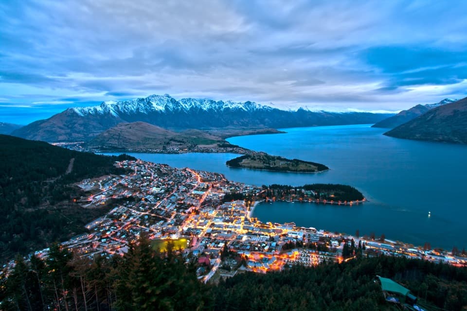
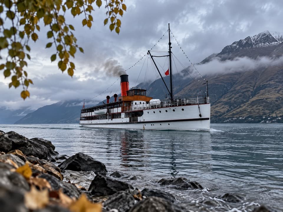
  2. 2TSS EarnslawSight
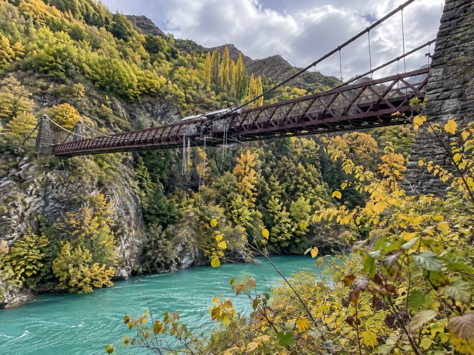
  3. 3Kawarau Bridge and Bungy CentreSight
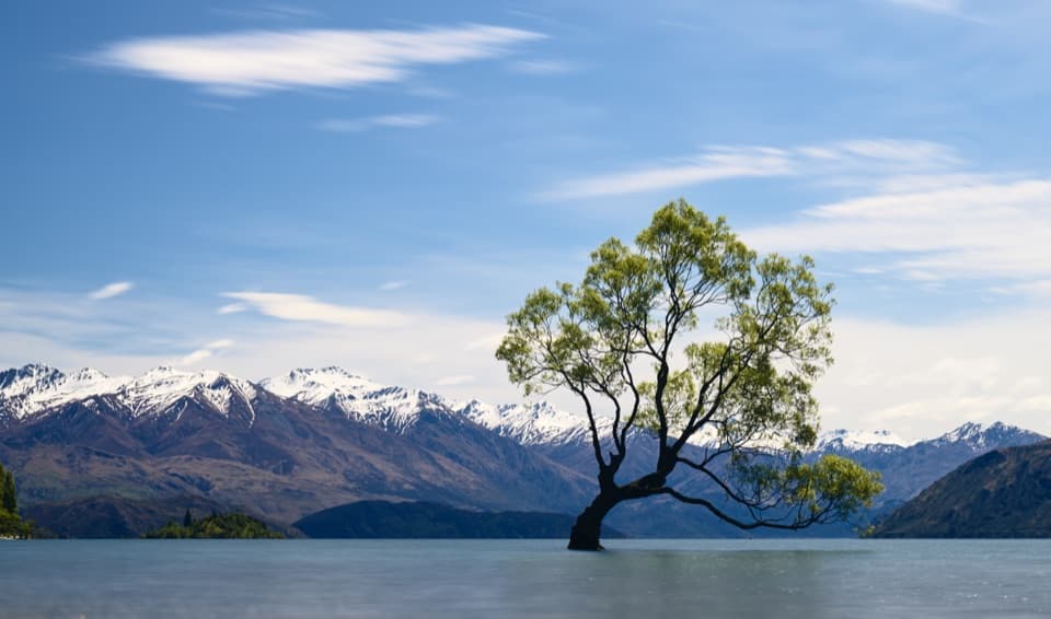
  4. 4That Wānaka TreeSight
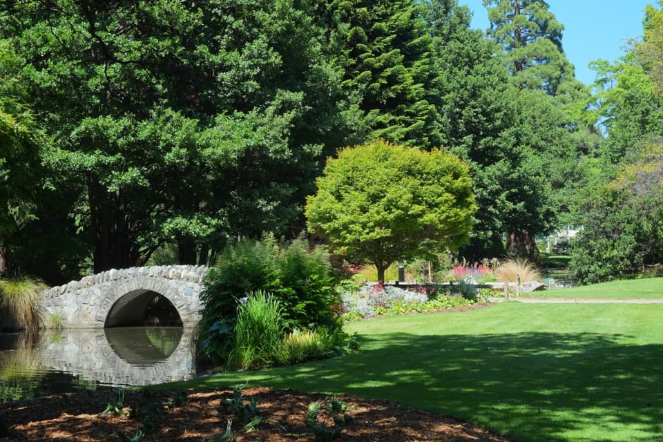
  5. 5Queenstown GardensSight
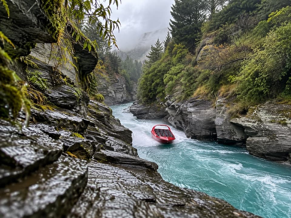
  6. 6Shotover JetSight

Take Parkwolf to Queenstown-Lakes District.

The audio tour guide for the drive, plus offline maps, trails, and wildlife heatmaps for when the signal drops.

4.7 from 8,600+ ratings

Download Parkwolf on the App StoreGet Parkwolf on Google Play