Blue Pools Track in Queenstown-Lakes District, New Zealand

#15 of 155 trails in Queenstown-Lakes District

Queenstown-Lakes District, New Zealand, OT

Blue Pools Track

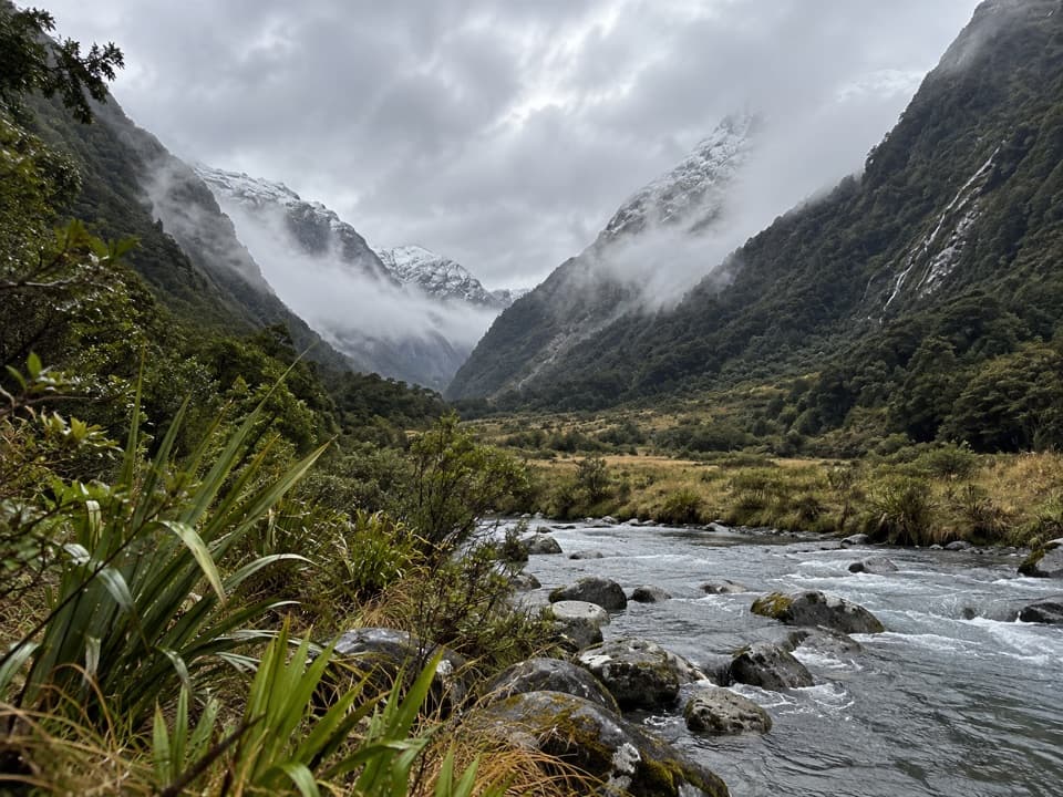
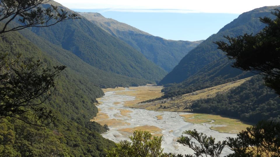
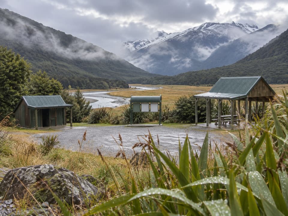
Two swing bridges, clear water and a short walk through beech forest.

Photo: Mike Dickison, CC BY 4.0, via Wikimedia Commons

Length
3km
Time
1.3hr
Elev. change
30m
Difficulty
Easy
  • No dogs
  • High point 352 m

Hear the audio tour

Blue Pools

Overview

About Blue Pools Track

Why go

  • Two swing bridges lead to a clear pool and river-gorge view.
  • A short forest walk with toilets at the car park.

Heads up

  • Sandflies can be fierce near the river.
  • The car park and bridges get busy in summer.

Map & elevation

The route

Loading the Queenstown-Lakes District map
Full map
Elevation321–352 m
TrailheadBlue Pools Car Park-44.16059, 169.28670
Keep this map with you offline in the Parkwolf app

Plan your hike

Before you go

Parking

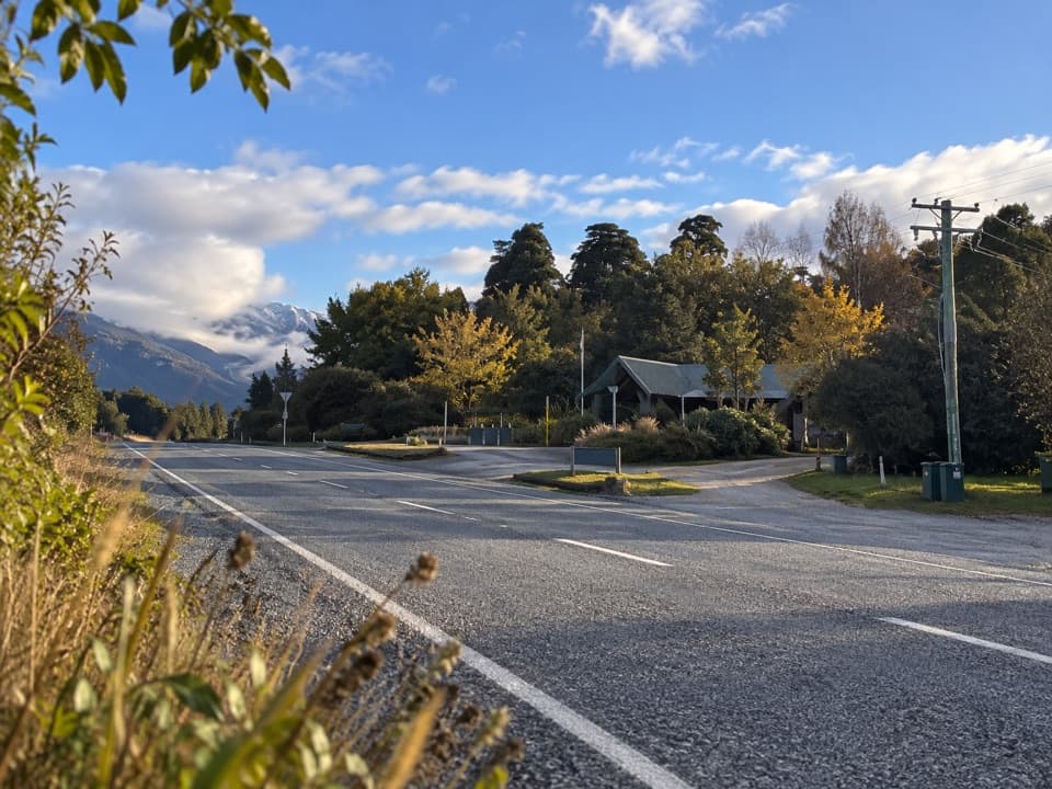
Start at Blue Pools car park, signposted off SH6 about 10 km beyond Makarora when driving from Wānaka. It has parking for cars and campervans, two marked mobility spaces, toilets and an accessible toilet; no drinking water is available. The car park is especially busy from November through April. Cameron Flat Campsite is across the highway; Makarora has limited food and fuel about 10 minutes away by car.

Safety

Rivers can be unpredictable; never jump from either swing bridge. Sandflies can be fierce. Ordinary pets are not permitted in the national park; authorised assistance dogs are an exception.

3 active Queenstown-Lakes District alerts

  • CautionRob Roy Track: stop at lower lookout during avalanche seasonFrom May to November, end your Rob Roy Track hike at the lower lookout: DOC strongly recommends this because the upper section crosses active avalanche paths.Official details
  • ClosureSkippers Bridge closed to all usersSkippers Bridge is closed to all vehicles, cyclists and pedestrians; stay off the bridge and obey closure signs and barriers.Official details
See all 3 alerts
A park ranger sits on a dash-mounted phone, talking, as Parkwolf’s Tour Guide plays “Army Cutworm Moths: A Grizzly Bear Buffet” on Grand Loop Road below Dunraven Pass in Yellowstone
Parkwolf Tour GuideThe highest, rockiest slopes around here are a summer buffet for grizzly bears.

Queenstown-Lakes District Tour Guide

Your drive to Blue Pools Track, narrated.

Parkwolf is a GPS audio tour guide for Queenstown-Lakes District, New Zealand. As you drive, it chimes in with what’s ahead: hidden gems, upcoming stops, history, geology, and wildlife, right through your car’s speakers.

See the Queenstown-Lakes District audio tour

Recorded for this trailhead

Blue Pools
0:00 / 0:24
“You’re approaching the Blue Pools car park, where a walk through silver beech forest leads to clear, snow-fed river pools.”

Plays as you drive up to this trailhead in the Parkwolf Queenstown-Lakes District Tour Guide.

More stories near here in the app

  • Cameron Lookout and Cameron Valley
  • The Whistle Above the Rapids
  • Makarora Valley Track
  • The Map Before Haast
  • 298 audio storiesacross Queenstown-Lakes District’s roads, triggered by GPS as you drive
  • Wildlife heatmapsfor Kea, Kākā, Kererū, and 13 more
  • Works offlinemaps, 155 trails, 129 places, and audio download before you lose signal
  • CarPlay readysimple controls built for the drive
★★★★★
“Fantastic app with many points of information… It’s great to just turn on while you’re driving and it gives you an audio tour of the national Park. We love it!!!!”
JMJamesApp Store review
Download Parkwolf on the App StoreGet Parkwolf on Google Play

4.7 from 8,600+ ratings

Trail guide

Hiking Blue Pools Track

A short walk with a clear payoffBlue Pools Track is an easy 3 km out-and-back from Blue Pools car park to two swing bridges…

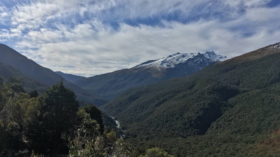
Blue Pools Track is an easy 3 km out-and-back from Blue Pools car park to two swing bridges over the Makarora River and the Blue Pools. Allow 1 to 1½ hours return to walk, stop at the water and come back. If you are travelling the Haast Highway and want a proper walk without giving up half the day, this is a good stop: native beech forest leads to a dramatic river crossing, then the second bridge opens over the pools and gorge.

Go all the way to the second bridgeThe route is well signposted from the car park.

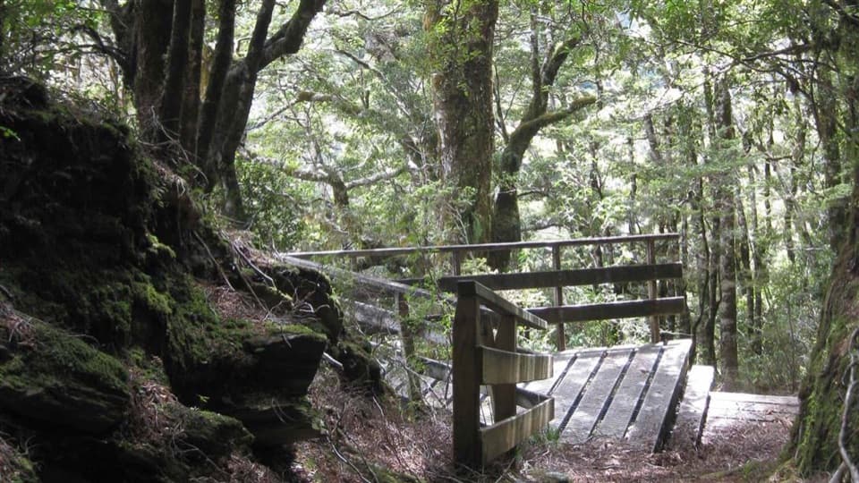
The route is well signposted from the car park. Follow the gravel path through silver beech forest for about 30 minutes to the first swing bridge over the Makarora River. Cross it and turn left; the second bridge is only about two minutes farther along. Cross that bridge for the view into the Blue Pools. Then turn back and retrace the same track. The path continues beyond the second bridge as Young River Link Track, a separate, much longer walk; it is not part of this 3 km outing.

A forest path, not a paved promenadeThis is a short, easy walk, but the surface has gravel and rocky sections, so expect uneven…

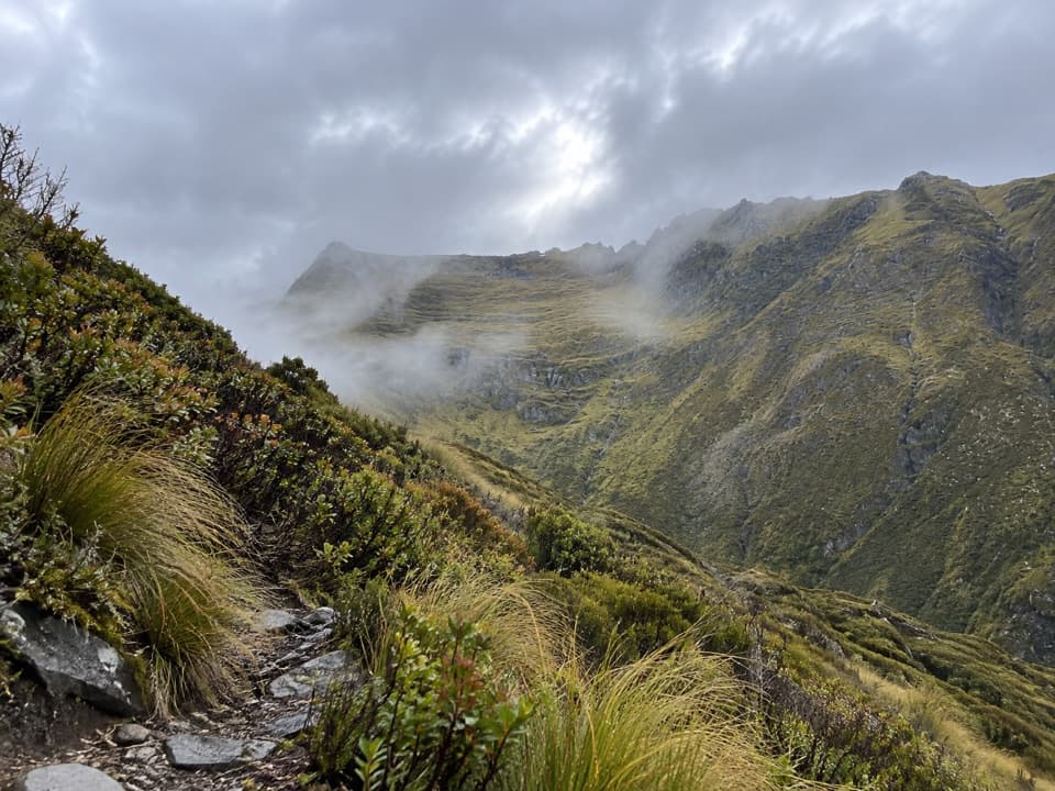
This is a short, easy walk, but the surface has gravel and rocky sections, so expect uneven footing instead of a smooth paved path. The beech canopy gives the approach a sheltered feel, then the river and its pale banks open up around the bridges. This is a short river walk rather than a summit climb; the main change in the experience is from forest to the open river crossing. Both bridges are part of the route, so take your time if heights or moving water make you uneasy.

The pools change with the riverThe pools are fed by snowmelt from the Southern Alps.

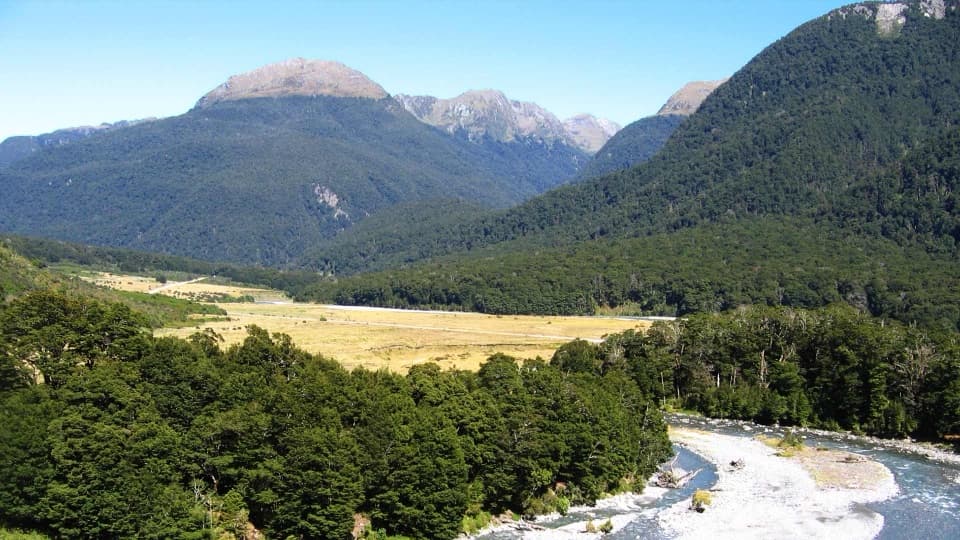
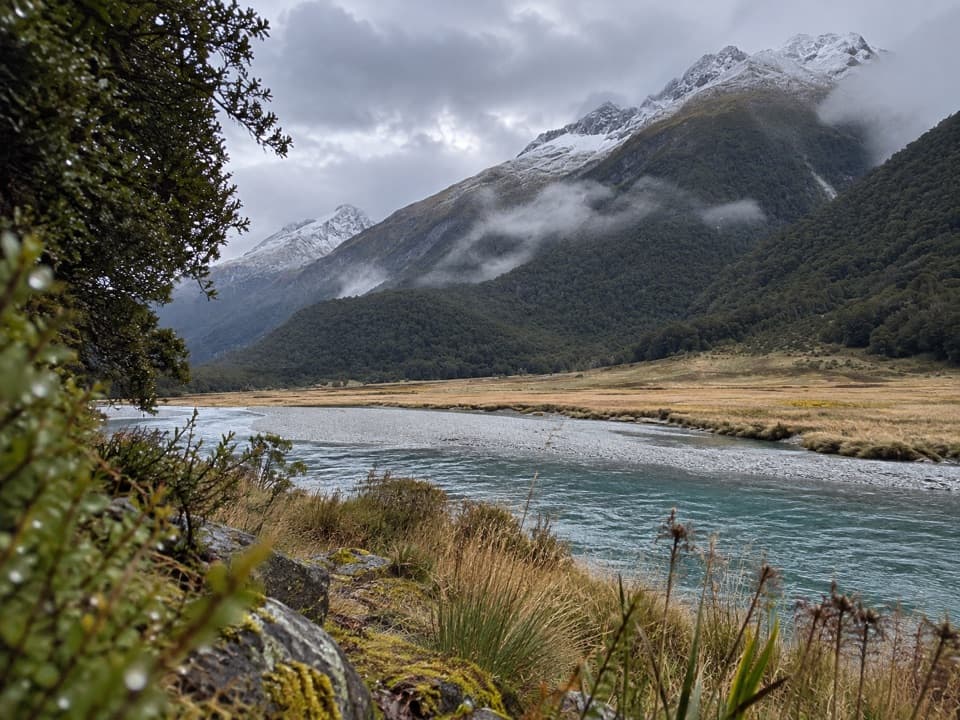
The pools are fed by snowmelt from the Southern Alps. After dry weather and sunshine the water can look strikingly clear and blue; heavy rain can leave it brown and muddy. The second bridge is the signature viewpoint: look down into the pools and along the river gorge, and include part of the bridge or the pale gravel in the foreground to show the scale. The colour is never guaranteed on the day you arrive.

A popular little stopThe bridges are a major part of the attraction, and the track can feel busy in summer.

The bridges are a major part of the attraction, and the track can feel busy in summer. The short route and road access make the bridges a popular stop, and summer can feel crowded, especially at the crossings. Allow a little patience if you stop in the busy season. Sandflies can be fierce near the river, so bring repellent, especially if you plan to linger by the pools.

Set up the visitBlue Pools car park is signposted off SH6 about 10 km beyond Makarora when driving from Wānaka.

Blue Pools car park is signposted off SH6 about 10 km beyond Makarora when driving from Wānaka. It has spaces for cars and campervans, two marked mobility spaces, toilets and an accessible toilet; there is no drinking water. The car park is especially busy from November through April. Cameron Flat Campsite is across the highway, while Makarora has limited food and fuel about 10 minutes away by car. Ordinary pets are not allowed in the national park; legally authorised assistance dogs are an exception. Rivers can be unpredictable, and you should never jump from either swing bridge.

Wildlife

Wildlife in Queenstown-Lakes District

All Queenstown-Lakes District wildlife maps

Sighting maps show where each species has been reported across Queenstown-Lakes District. Wildlife moves, so no sighting is guaranteed.

Parkwolf’s Queenstown-Lakes District ranking

Top-rated trails in Queenstown-Lakes District

All 155 trails
  1. 1Routeburn TrackChallenging · 33.1 km
  2. 2Roys Peak TrackChallenging · 16 km
  3. 3Ben Lomond TrackChallenging · 14 km
  4. 4Rob Roy TrackModerate · 10 km
  5. 5Isthmus Peak TrackChallenging · 16 km
  6. 6Routeburn Falls TrackChallenging · 19.6 km

Take Parkwolf to Queenstown-Lakes District.

The audio tour guide for the drive, plus offline maps, trails, and wildlife heatmaps for when the signal drops.

4.7 from 8,600+ ratings

Download Parkwolf on the App StoreGet Parkwolf on Google Play