Parking
Cameron Lookout car park on SH6, 70 km north of Wānaka. The nearest toilets are at Cameron Flat campsite, 2.5 km south.
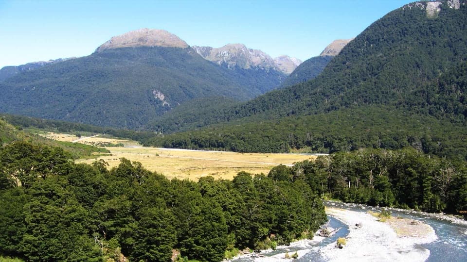
Queenstown-Lakes District, New Zealand, OT
A short beech-forest climb to a platform above Cameron Creek.
Photo: Department of Conservation (NZ), “View from the Cameron Lookout”, CC BY 4.0
Overview
Map & elevation
Plan your hike

The highest, rockiest slopes around here are a summer buffet for grizzly bears.
Queenstown-Lakes District Tour Guide
Parkwolf is a GPS audio tour guide for Queenstown-Lakes District, New Zealand. As you drive, it chimes in with what’s ahead: hidden gems, upcoming stops, history, geology, and wildlife, right through your car’s speakers.
See the Queenstown-Lakes District audio tourRecorded for this trailhead
Cameron Lookout and Cameron Valley“Cameron Lookout car park is coming up, with a twenty-minute return walk through silver beech to a platform above Cameron Creek. It's a short climb for a view down the Makarora Valley toward Mount Birnam.”
Plays as you drive up to this trailhead in the Parkwolf Queenstown-Lakes District Tour Guide.
More stories near here in the app
“Fantastic app with many points of information… It’s great to just turn on while you’re driving and it gives you an audio tour of the national Park. We love it!!!!”


Trail guide
Cameron Lookout Walk is a 1 km (0.6-mile) out-and-back from a roadside car park on SH6. It climbs through silver beech to a viewing platform over Cameron Creek, with a look down the Makarora Valley toward Mount Birnam. Allow about 20 minutes return; the climb is about 50 m. This is a good leg-stretcher on the Haast Highway if you want a short forest walk and a valley view.
The gravel path climbs through silver beech forest before reaching the platform. The mapped line is about 530 m one way, then you return by the same path. From the platform, keep Cameron Creek in the foreground for a photo; it gives the valley view more depth.
The short walk ends at the platform. Beyond it, the rougher Cameron Valley Track heads inland; DOC describes that separate continuation as a five-hour, one-way tramp for fit, experienced trampers. It is not part of the 1 km return walk, so stop here unless that longer trip is what you came prepared for.
The Cameron Lookout car park is on SH6, 70 km north of Wānaka. The nearest toilets are at Cameron Flat campsite, 2.5 km south along the highway. Dogs and other pets are not permitted in national parks.
Wildlife
 194 sightingsKeaMost seen around 5 PMSighting map
 18 sightingsKākāMost seen around 6 PMSighting map
 198 sightingsKererūMost seen around 10 AMSighting map
 53 sightingsWekaMost seen around 6 PMSighting map
 245 sightingsTūīMost seen around 8 AMSighting map
 98 sightingsBellbirdMost seen around 6 AMSighting map
Sighting maps show where each species has been reported across Queenstown-Lakes District. Wildlife moves, so no sighting is guaranteed.
Keep exploring
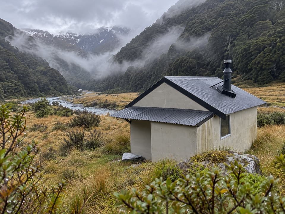 ChallengingCameron Valley Track to Cameron Hut14 km · 11 hr · At the trailheadA tiny hut beyond a steep gorge and an unbridged river.
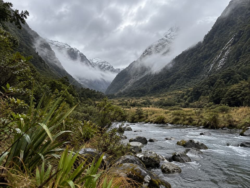 ChallengingBlue Valley Track32 km · 18 hr · 1.3 km awayA remote out-and-back through beech forest to Blue Valley's upper flats.
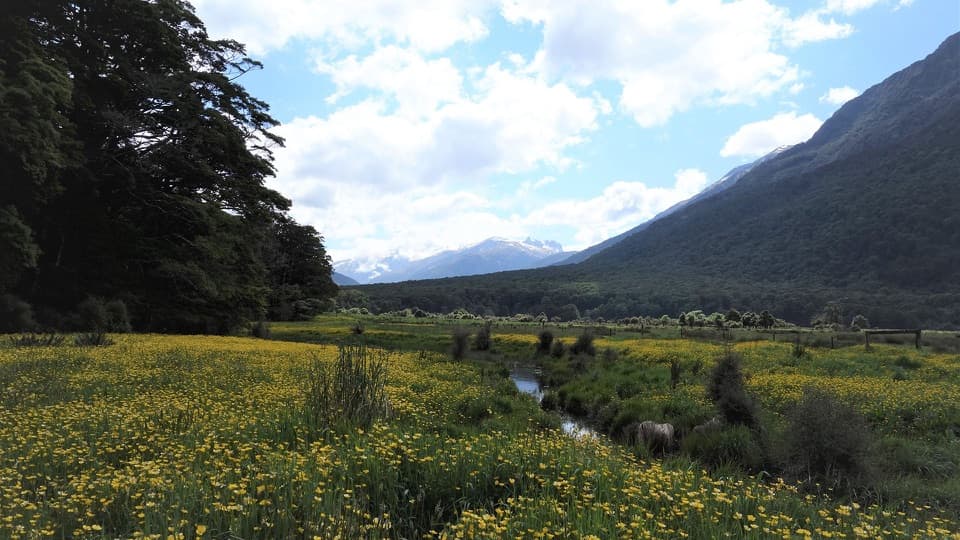 ModerateYoung River Link Track14 km · 3.5 hr · 1.3 km awayA longer return through beech forest and pasture to the Young River
 EasyBlue Pools Track3 km · 1.3 hr · 1.4 km awayTwo swing bridges, clear water and a short walk through beech forest.
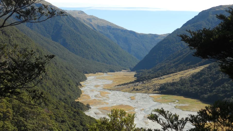 ChallengingMakarora Valley Track21 km · 12 hr · 2.7 km awayA long backcountry tramp to a four-bunk hut beneath Mount Brewster.
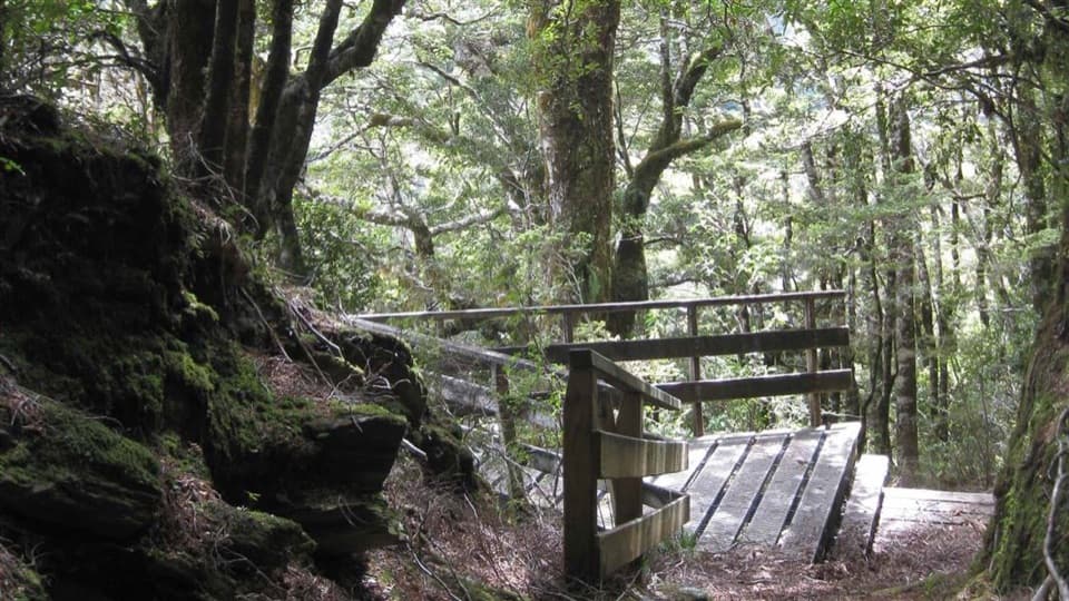 EasyBridle Track3.5 km · 1.5 hr · 3.6 km awayA well-graded 3.5 km walk between Davis Flat and Haast Pass.
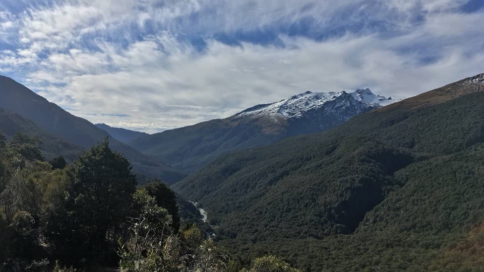 ModerateHaast Pass Lookout Track1.5 km · 1 hr · 6.8 km awaySteep beech forest opens to Southern Alps views.
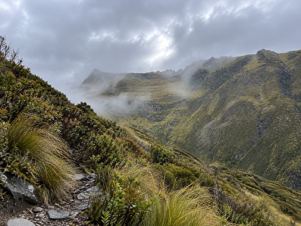 ChallengingMount Shrimpton Track6 km · 5 hr · 9.8 km awayA steep bush climb to a wide Makarora Valley view.
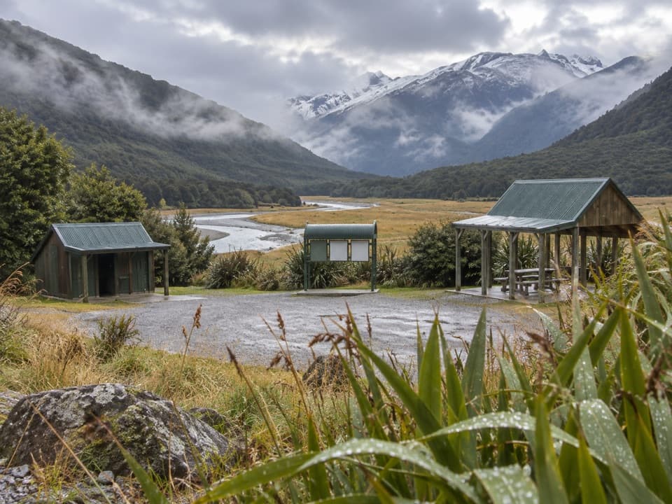 Campground · 1.3 km awayCameron Flat CampsiteA handy riverside camp for a Blue Pools morning.Sight · 2.7 km awayBlue PoolsSnow-fed pools and two swing bridges, reached through beech forest.
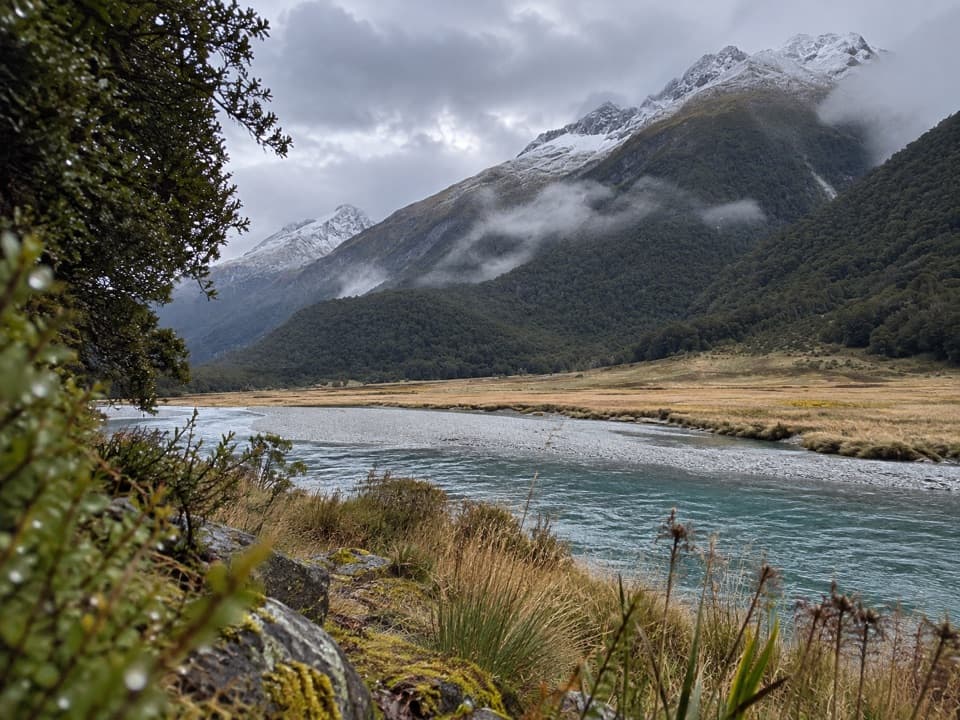 Sight · 10.1 km awaySiberia ExperienceA flight in, a marked valley walk, and a jetboat ride out.
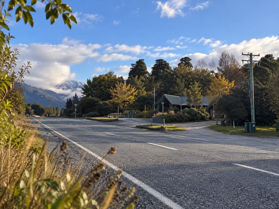 Gas station · 10.2 km awayMakarora Fuel at WonderlandA useful remote-road top-up, if fuel is in stock.
Parkwolf’s Queenstown-Lakes District ranking

The audio tour guide for the drive, plus offline maps, trails, and wildlife heatmaps for when the signal drops.





