Makarora Valley Track in Queenstown-Lakes District, New Zealand

Queenstown-Lakes District, New Zealand, OT

Makarora Valley Track

A long backcountry tramp to a four-bunk hut beneath Mount Brewster.

Photo: Adrian Cunningham, via Department of Conservation (NZ), CC BY 2.0

Length
21km
Time
12hr
Elev. change
332m
Difficulty
Challenging
  • No dogs
  • High point 694 m

Hear the audio tour

Makarora Valley Track

Overview

About Makarora Valley Track

Why go

  • Braided river flats open into a basin beneath Mount Brewster.
  • Stewart Falls and a four-bunk hut give the long approach clear landmarks.

Heads up

  • A 21 km return can take 10–14 hours.
  • Steep, unstable and partly unmarked terrain requires backcountry experience.

Map & elevation

The route

Loading the Queenstown-Lakes District map
Full map
Elevation362–694 m
TrailheadSH6 bridge between Kiwi Flat and Davis Flat-44.14027, 169.32903
Keep this map with you offline in the Parkwolf app

Plan your hike

Before you go

Parking

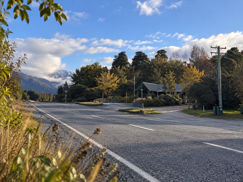
Start at the small layby on the true-left side of the SH6 bridge between Kiwi Flat and Davis Flat. If it is full, do not park on the highway. Davis Flat car park is an alternative only in dry conditions because heavy rain can flood or wash it out.

Safety

A steep, technical backcountry route with scrambling, a slippery wet gorge sidle, a tape-marked unstable slip and an unmarked final section that may involve several unbridged river crossings. Do not cross if water is high or safe entry and exit points are uncertain. Avalanche terrain crosses the route, usually May through November.

3 active Queenstown-Lakes District alerts

  • CautionRob Roy Track: stop at lower lookout during avalanche seasonFrom May to November, end your Rob Roy Track hike at the lower lookout: DOC strongly recommends this because the upper section crosses active avalanche paths.Official details
  • ClosureSkippers Bridge closed to all usersSkippers Bridge is closed to all vehicles, cyclists and pedestrians; stay off the bridge and obey closure signs and barriers.Official details
See all 3 alerts
A park ranger sits on a dash-mounted phone, talking, as Parkwolf’s Tour Guide plays “Army Cutworm Moths: A Grizzly Bear Buffet” on Grand Loop Road below Dunraven Pass in Yellowstone
Parkwolf Tour GuideThe highest, rockiest slopes around here are a summer buffet for grizzly bears.

Queenstown-Lakes District Tour Guide

Your drive to Makarora Valley Track, narrated.

Parkwolf is a GPS audio tour guide for Queenstown-Lakes District, New Zealand. As you drive, it chimes in with what’s ahead: hidden gems, upcoming stops, history, geology, and wildlife, right through your car’s speakers.

See the Queenstown-Lakes District audio tour

Recorded for this trailhead

Makarora Valley Track
0:00 / 0:32
“Up ahead is the highway-bridge access for Makarora Valley Track.”

Plays as you drive up to this trailhead in the Parkwolf Queenstown-Lakes District Tour Guide.

More stories near here in the app

  • Davis Flat and the Bridle Track
  • Why Glacier Ice Cracks
  • Cameron Lookout and Cameron Valley
  • Blue Pools
  • 298 audio storiesacross Queenstown-Lakes District’s roads, triggered by GPS as you drive
  • Wildlife heatmapsfor Kea, Kākā, Kererū, and 13 more
  • Works offlinemaps, 155 trails, 129 places, and audio download before you lose signal
  • CarPlay readysimple controls built for the drive
★★★★★
“Fantastic app with many points of information… It’s great to just turn on while you’re driving and it gives you an audio tour of the national Park. We love it!!!!”
JMJamesApp Store review
Download Parkwolf on the App StoreGet Parkwolf on Google Play

4.7 from 8,600+ ratings

Trail guide

Hiking Makarora Valley Track

A serious hut trampMakarora Valley Track is a 21 km out-and-back from the SH6 bridge between Kiwi Flat and Davis…

Makarora Valley Track is a 21 km out-and-back from the SH6 bridge between Kiwi Flat and Davis Flat to a four-bunk hut in the upper valley. The posted figure is 10.5 km and 5–7 hours one way; the mapped corridor runs a little longer, close to 11 km. Plan on 10–14 hours for the return if you do it in one day. The Makarora River, Stewart Falls and the basin below Mount Brewster are the payoffs. This is a steep, technical backcountry tramp for experienced walkers, not an easy valley stroll. An overnight stop at the hut breaks up the long approach; stays require a DOC hut ticket or pass.

Falls, gorge and slipFrom the true-left side of the road bridge, the track follows the Makarora River before…

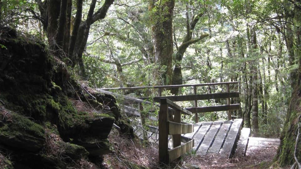
From the true-left side of the road bridge, the track follows the Makarora River before climbing steeply beside Stewart Falls. Above the falls, it sidles over a gorge and gets slippery when wet. The route then drops across a large unstable slip marked with tape, where route-finding matters. Expect scrambling, fallen trees, small open flats, forest and more slips; the path is not consistently marked or smooth.

The upper valley is unmarkedAt the main valley flat, the marked track gives way to an unmarked approach of about 50 minutes…

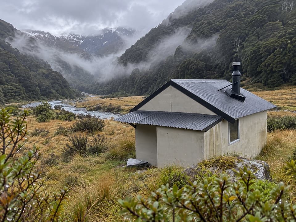
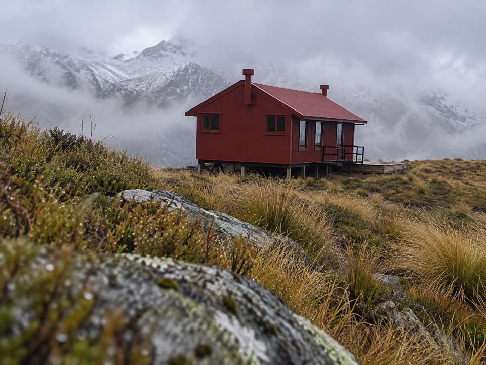
At the main valley flat, the marked track gives way to an unmarked approach of about 50 minutes to Makarora Hut. The easiest line may cross the river several times, but only when the water is low enough to cross safely. Do not cross if the river is high or you cannot identify safe entry and exit points; wait or turn back. The hut sits at the north end of the grassy flat near the bush edge. Its water is untreated and may not be safe to drink, so boil it before use.

Getting to the startThe trail begins on the true-left side of the SH6 bridge between Kiwi Flat and Davis Flat.

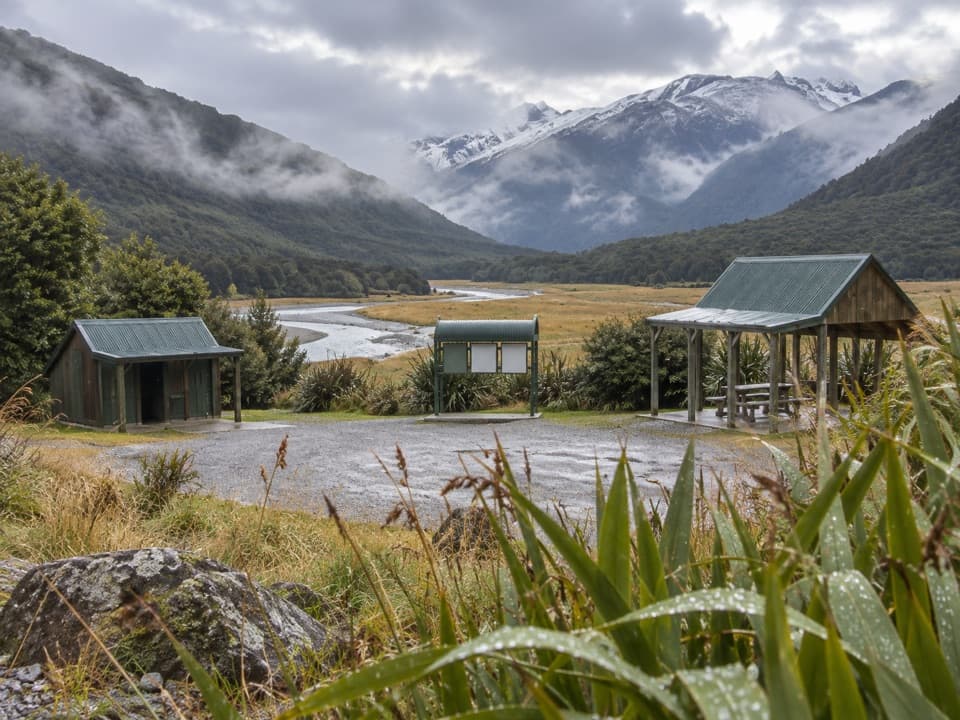
The trail begins on the true-left side of the SH6 bridge between Kiwi Flat and Davis Flat. There is a small layby beside it; if it is full, do not park on the highway. Davis Flat car park is an alternative only in dry conditions because heavy rain can flood or wash it out. Avalanche terrain crosses the route, usually from May through November, and unbridged river crossings can become unsafe quickly. Dogs and other domestic animals are not allowed in Mount Aspiring National Park.

A valley with a long historyThe route climbs into long grassy flats and a basin beneath Mount Brewster.

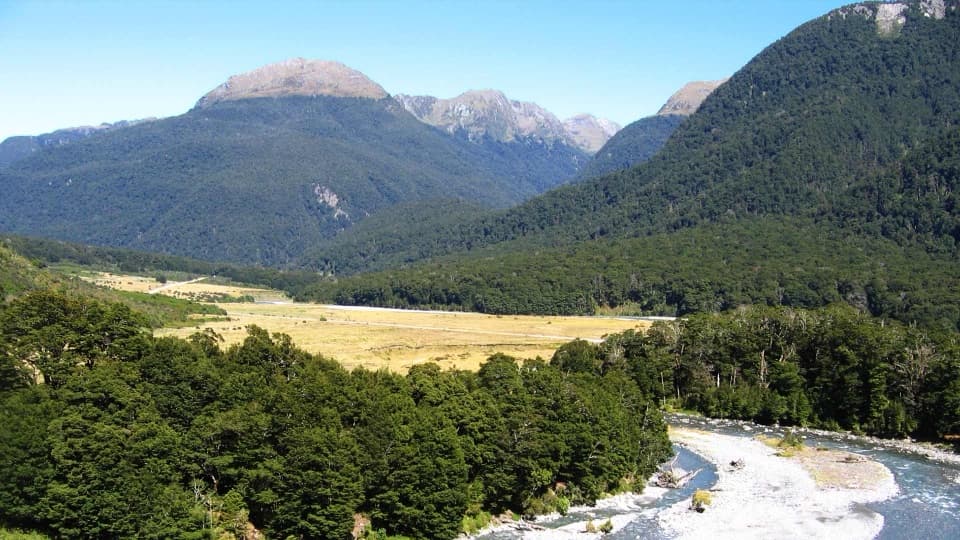
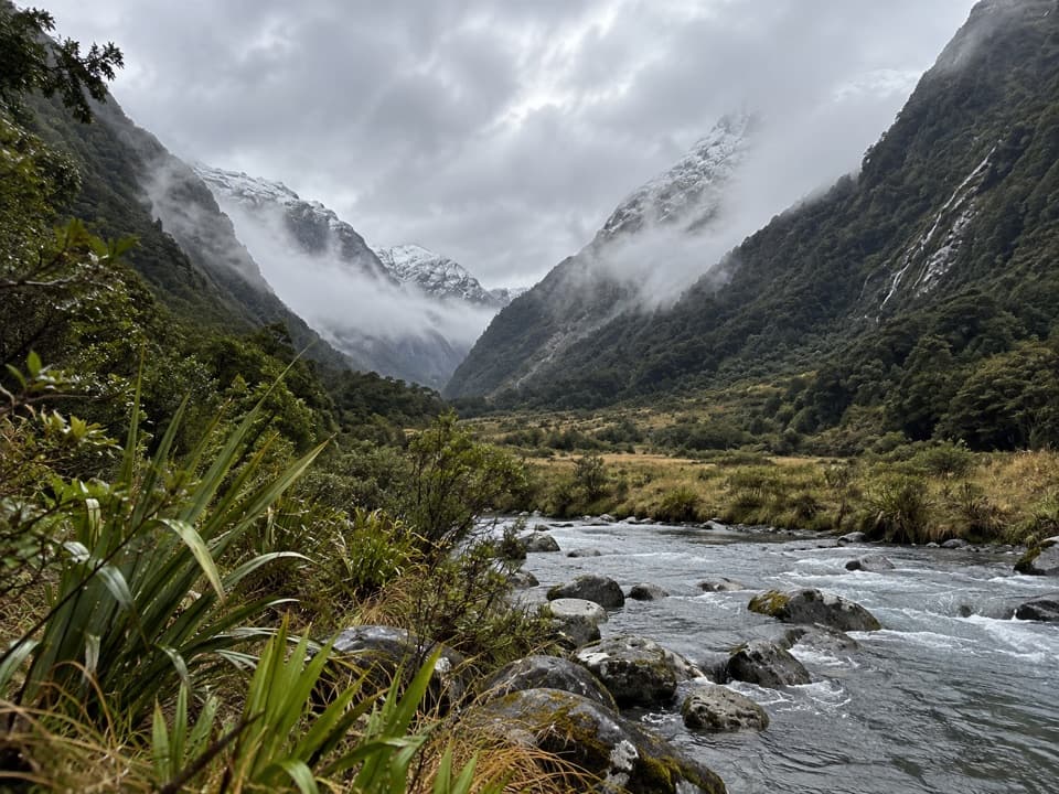
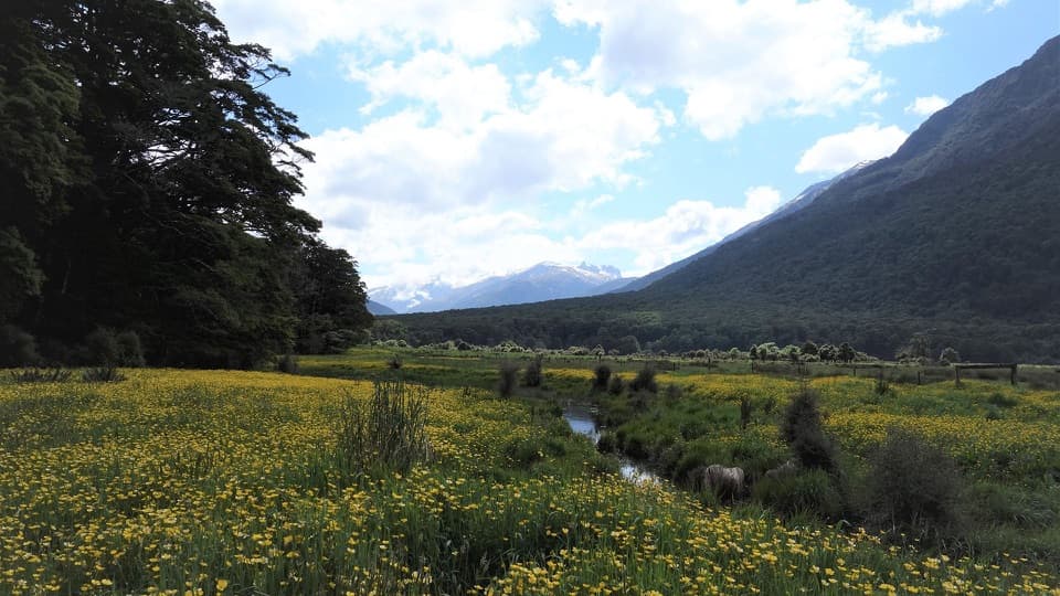
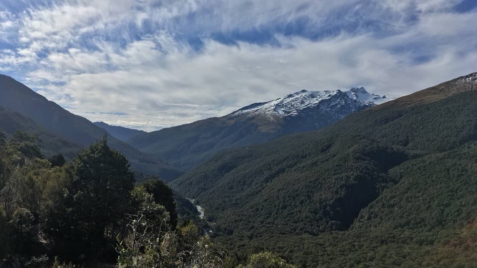
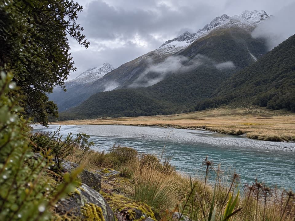
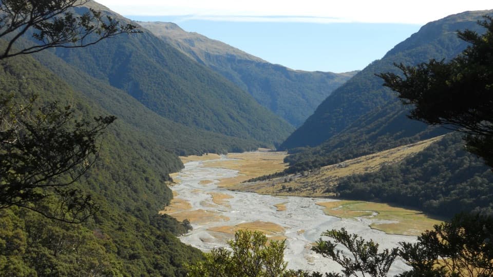
The route climbs into long grassy flats and a basin beneath Mount Brewster. For a photo, include the braided river below the dark forested slopes; it gives the valley its scale. Māori knew the wider Makarora valley as Kaika Paekai, “place of abundant food,” and used Haast Pass / Tioripatea as a route west in search of pounamu. A pack track through the valley and across the pass dates to 1876, long before the Wānaka–West Coast road was completed in 1965.

Wildlife

Wildlife in Queenstown-Lakes District

All Queenstown-Lakes District wildlife maps

Sighting maps show where each species has been reported across Queenstown-Lakes District. Wildlife moves, so no sighting is guaranteed.

Parkwolf’s Queenstown-Lakes District ranking

Top-rated trails in Queenstown-Lakes District

All 155 trails
  1. 1Routeburn TrackChallenging · 33.1 km
  2. 2Roys Peak TrackChallenging · 16 km
  3. 3Ben Lomond TrackChallenging · 14 km
  4. 4Rob Roy TrackModerate · 10 km
  5. 5Isthmus Peak TrackChallenging · 16 km
  6. 6Routeburn Falls TrackChallenging · 19.6 km

Take Parkwolf to Queenstown-Lakes District.

The audio tour guide for the drive, plus offline maps, trails, and wildlife heatmaps for when the signal drops.

4.7 from 8,600+ ratings

Download Parkwolf on the App StoreGet Parkwolf on Google Play