Cascade Saddle

Serious alpine saddle with huge glacier views
Cascade Saddle, Queenstown-Lakes District, New Zealand
InsideQueenstown-Lakes District, New Zealand

Overview

Cascade Saddle isn’t a casual stroll—it’s a serious alpine crossing between the West Matukituki and Dart valleys with jaw‑dropping scenery and very real exposure. Multiple fatalities have occurred here from slips and falls, especially in wet, snowy, or icy conditions. Treat it as an alpine route for experienced parties who are comfortable with hands‑on scrambling, route finding above the bushline, and turning back when conditions sour.

What You’ll See

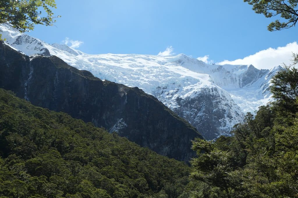
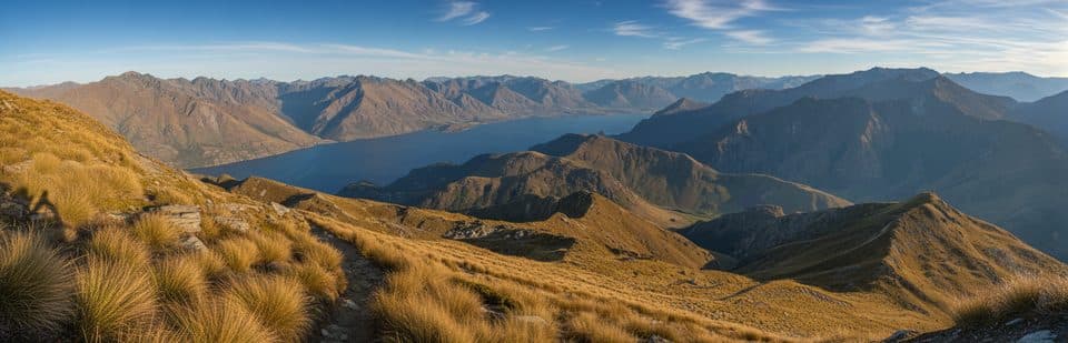
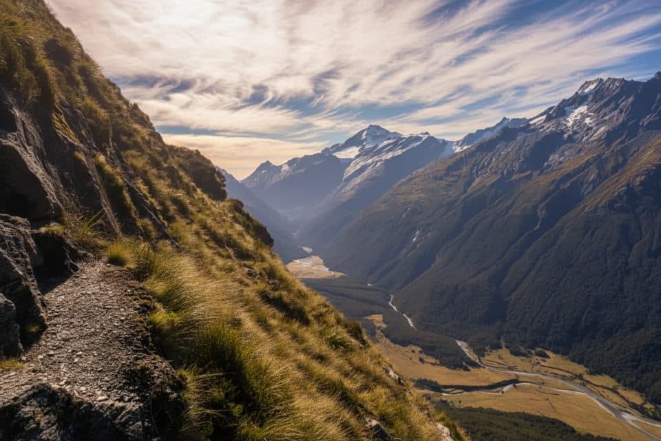
From high tussock terraces and narrow gullies you’ll stare straight at the Dart Glacier, the Matukituki Valley, and the shapely pyramid of Tititea/Mt Aspiring. Kea often cruise the saddle and Cascade Creek area—clever, cheeky, and keen on sampling unattended gear.

Route at a Glance (Matukituki → Dart)

  • Raspberry Creek car park → Aspiring Hut: 9 km, about 2–2.5 hours on an easy valley track.
  • Aspiring Hut → Cascade Saddle: ~6 km, 4–5 hours, extremely steep and exposed above the bushline. A narrow gully to the Pylon (~1835 m) often holds snow.
  • From the Pylon, descend ~30 minutes to Cascade Creek (designated campsite with long‑drop toilet), then ~45 minutes across alpine terraces to the glacier viewpoints near the saddle.
  • Cascade Saddle → Dart Hut: ~10 km, 4–5 hours over poles/cairns on steep, sometimes unstable slopes to the Dart Glacier moraines, then down the valley.

Very fit parties sometimes compress this into 1–2 days, but a 3–4 day plan via the Rees–Dart is more conservative and popular.

Hazards and Skills

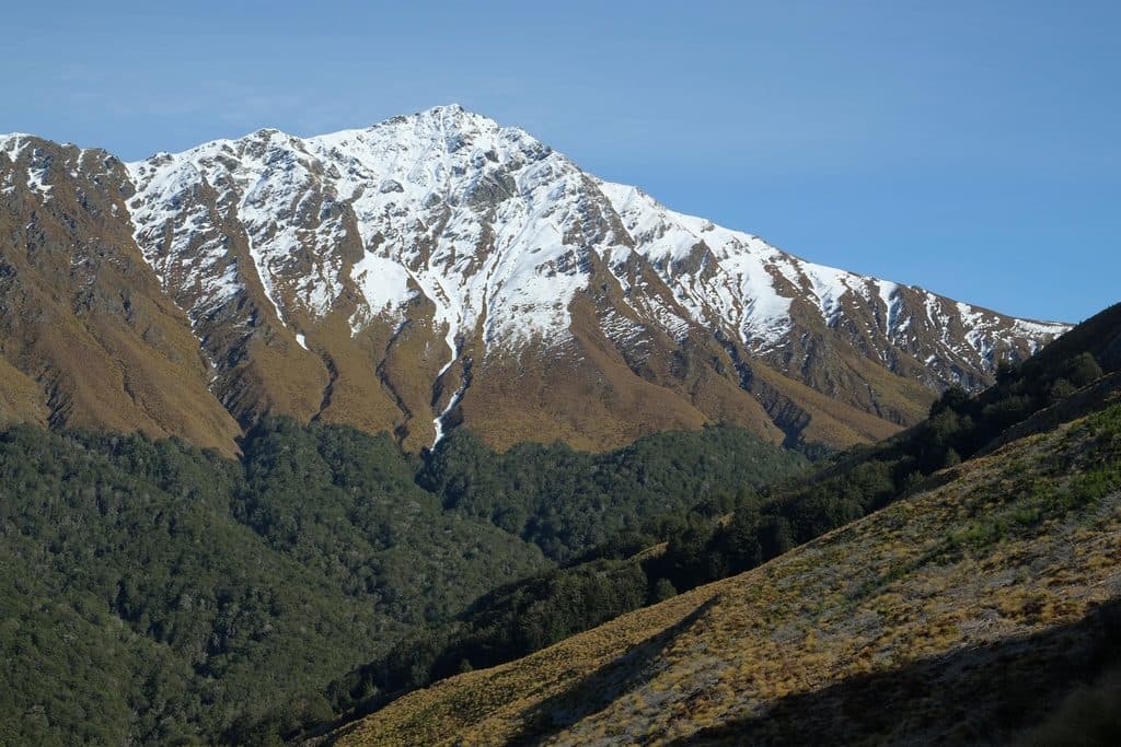
Above the bushline this is a marked route, not a formed track: steep snowgrass and tussock, rocky ledges, significant drop‑offs, and wet rock that turns treacherous. In winter and spring—and often into early summer—expect snow and ice; bring an ice axe and crampons and know how to use them. Avalanches are a risk in colder seasons. DOC recommends traveling Matukituki → Saddle → Dart because ascending the steep face is safer than descending it. No reliable phone coverage—carry a PLB.

Logistics & Facilities

Start at Raspberry Creek car park (shelter and long‑drop toilets). The access road is sealed then gravel with unbridged fords; in summer a 2WD is usually fine, but after rain a 4WD may be needed. Aspiring Hut (about 2–2.5 hr from the car park) has 33 bunks, gas, flush toilets, lighting in season, and a fireplace (bookings/fees apply in season). Camping on the alpine route is only allowed at Cascade Creek (long‑drop toilet; water from the creek). If you continue to Glenorchy side, plan transport from the Dart or Rees road ends. Kea frequent Cascade Creek—stash everything securely.

Best Time to Visit

Mid to late summer is the prime window. Today is November 18, 2025—late spring—so expect lingering snow and treat the route as a winter‑conditions objective unless you confirm otherwise. Wait for a stable 2–3 day high‑pressure window with light winds, start early, and set conservative turn‑around times at the bushline and at the Pylon.


Wild Encounters

Kea are common around the saddle and Cascade Creek. They’ll peck at tents, chew straps, and fly off with anything shiny—pack away all gear whenever you’re not using it.

Pros

  • Immense alpine vistas of Dart Glacier and Tititea/Mt Aspiring
  • Designated Cascade Creek campsite with a long‑drop toilet

Cons

  • Very steep, exposed terrain with a history of fatal falls
  • Snow/ice outside mid–late summer often requires technical gear and skills

Tips

  • Travel Matukituki → Saddle → Dart—the ascent is safer than descending the steep face.
  • Aim for mid–late summer; in spring, plan for ice axe and crampons.
  • Secure all gear at Cascade Creek—kea will chew or steal anything left out.
  • Build hard turn‑around times at the bushline and at the Pylon.
  • Arrange a shuttle between Raspberry Creek and the Dart/Rees road ends before you go.
The Parkwolf tour guide sitting on a phone mounted in a car

Parkwolf Tour Guide

Like a tour guide in your car.

Save the places you found around Queenstown-Lakes District, then let Parkwolf guide the drive between them.Download Parkwolf on the App Store