Pros & cons
PROS
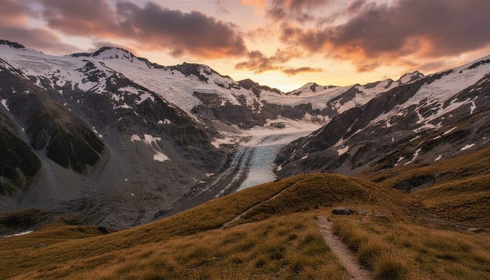
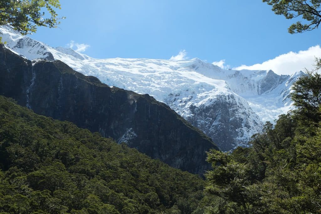
- Dramatic hanging glacier and waterfall views from upper lookout
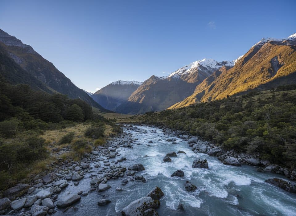
- Varied half‑day walk: river, beech forest, alpine clearings
- Likely kea encounters near the treeline
CONS
- Long unsealed access road with several ford crossings that can close after rain
- Avalanche danger between lower and upper lookouts May–Nov
- Occasional car break‑ins at Raspberry Flat car park
Overview
A classic South Island day walk with a big payoff: a hanging glacier spilling over sheer cliffs, serrated seracs, and multiple waterfalls thundering into a glacial valley. The track feels like three hikes in one—riverside flats, cool beech forest, then open alpine scrub with the glacier straight ahead.
The Walk
From Raspberry Flat/Creek car park, it’s a short amble to a swing bridge over the West Matukituki River, then a steady climb through beech forest before the trail opens to glacier lookouts. Plan on roughly 9.6–10 km return and about 3–4 hours to the upper lookout, with around 330–450 m of elevation gain. There are two main vantage points; the lower lookout is easier, and the upper delivers the full amphitheater of ice and waterfalls.
Seasonal & Safety Notes
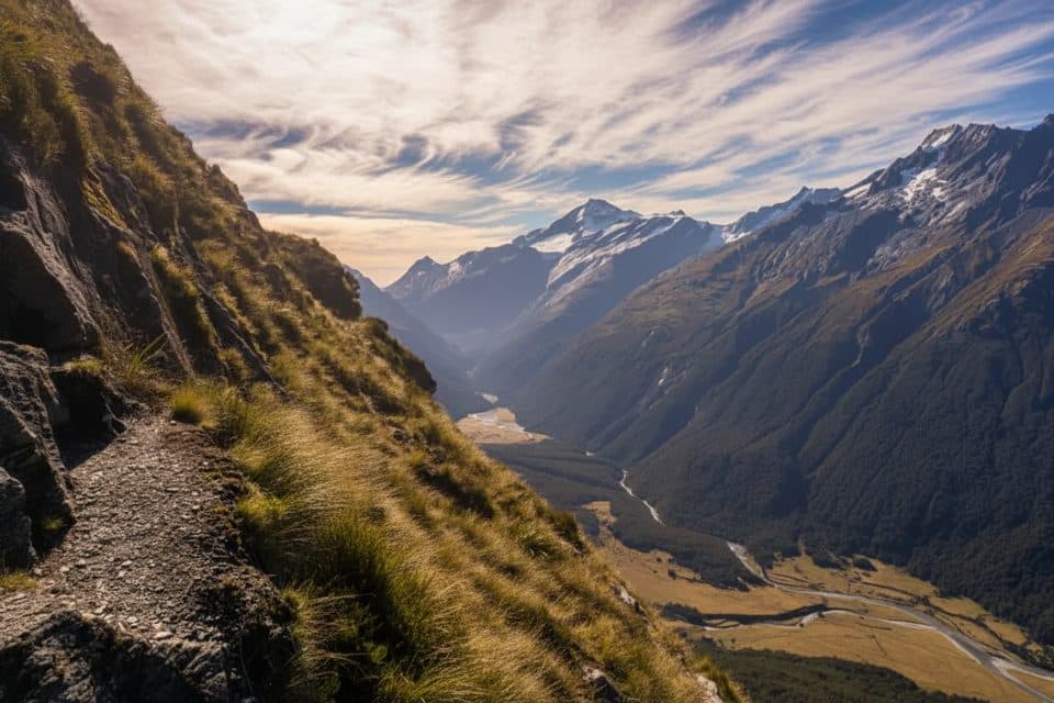
Between May and November the section between the lower and upper lookouts crosses active avalanche paths—DOC advises stopping at the lower lookout in this period unless you have avalanche training and gear. Expect steep drop‑offs in places and occasionally icy or slippery sections in winter/early spring; good footwear and trekking poles help. The glacier can calve seracs, and small avalanches are common in melt seasons—enjoy the view from safe, signed areas.

Getting There
Allow about 1 hr–1 hr 20 min from Wānaka. The final ~30 km are on gravel, and the last stretch includes several shallow fords that may become impassable or cause road closures after rain. Many standard cars make it through after a dry spell, but drive slowly, assess fords, and note that some rental policies restrict unsealed roads and water crossings. Security has been an occasional issue at the car park—leave no valuables.
Facilities
Toilets are at the car park; there are none on the track. No treated water is available—carry your own. Cell service is effectively non‑existent on the drive and track, so download maps beforehand. The car park has been signed at times for self‑contained freedom camping only—follow current DOC on‑site rules.
Wildlife & Landscape
You’ll pass lush beech forest with fantails, tomtits, and riflemen, and above the treeline kea are frequently seen and heard—don’t feed them and secure your gear. On the drive in, you’ll cross private farmland; expect cows or sheep near the road and stay on marked tracks.
Best Time to Visit
For the upper lookout, the most reliable window is roughly December–April when avalanche risk is typically lower and days are longer. Weather is alpine‑changeable year‑round, so check DOC alerts before you go. Light on the glacier is kinder earlier or later in the day; mid‑afternoon can be harsh. Parking is generally manageable outside peak summer, but start early during the busy season.
Why It’s Worth Your Time
If you want a half‑day that feels truly alpine without needing mountaineering skills, this is it: a moderate effort for a front‑row seat to icefalls and waterfalls in a wild, U‑shaped valley.
Where it is
-44.4785, 168.7284Tips for Rob Roy Glacier
- 01Check DOC alerts; from May–Nov plan to stop at the lower lookout unless you have avalanche training and gear.
- 02After heavy rain the gravel road fords can be impassable—don’t force crossings.
- 03Carry all your water and snacks; there are no facilities on the track.
- 04Start early for softer light on the glacier and easier parking.
- 05Leave nothing valuable in your vehicle at Raspberry Flat.
Amenities
Near Rob Roy Glacier
All places →All trails →
2.3 mi awayRob Roy Glacier TrackClassic half-day to a roaring hanging glacier and waterfall amphitheater.Moderate · 6.4 mi · 3.5 hr
2.3 mi awayCascade Saddle RouteExposed alpine climb to glacier views and mischievous kea countryChallenging · 9.3 mi · 7 hr
2.3 mi awayLiverpool TrackBig valley walk to a hut with knockout views of Mt Aspiring.Challenging · 18.6 mi · 12.5 hr
5 mi awayCascade SaddleSerious alpine saddle with huge glacier viewsScenic Viewpoint
6.5 mi awayMount Aspiring / TititeaIconic 3,033 m alpine peak with thrilling ridge-top viewsScenic Viewpoint
13.5 mi awayTreble Cone Ski AreaBig-mountain laps and Lake Wānaka views for confident skiersParking · Restroom
16.4 mi awayDiamond Lake (Wānaka)Small glacial lake with big views and choose-your-own trailsTrailhead · Parking
16.5 mi awayRocky Mountain Summit TrackModerate loop to big Lake Wānaka views from a grassy summitModerate · 5 mi · 3 hr