Pros & cons
PROS
- Classic steamship cruising plus knockout road-and-lookout vistas
- Fascinating 26.7‑minute seiche makes the shoreline subtly rise and fall
CONS
- Water stays very cold and deep year‑round
- Winding lakeside roads can be exposed, with winter ice hazards
Overview
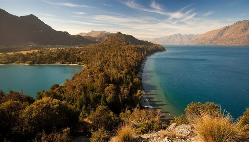
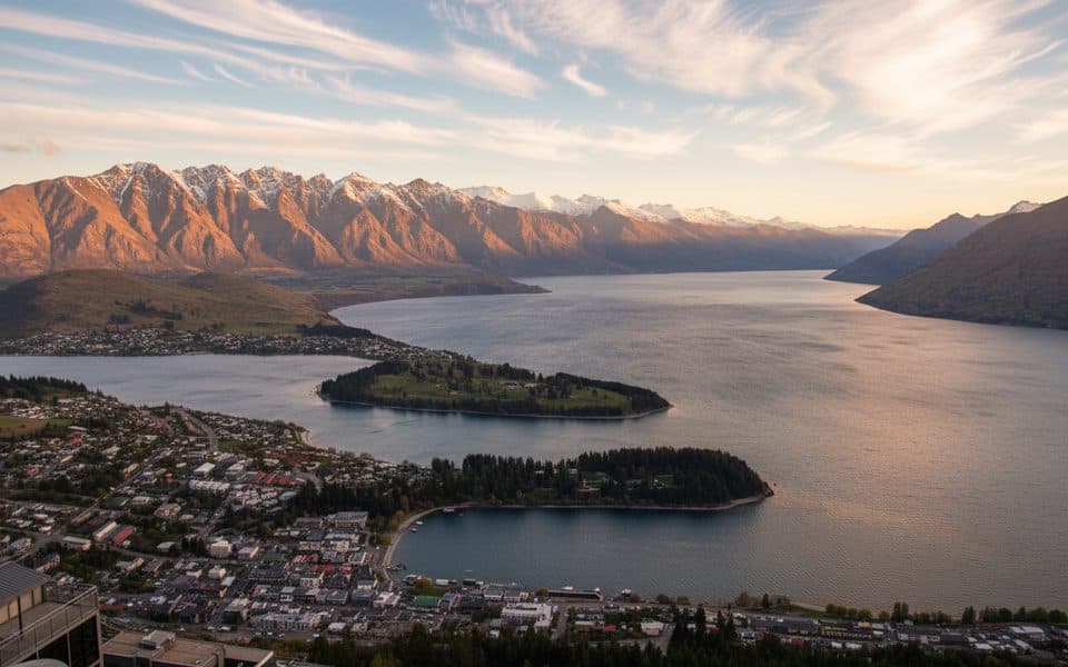
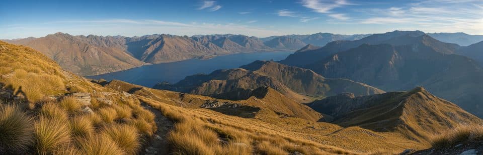
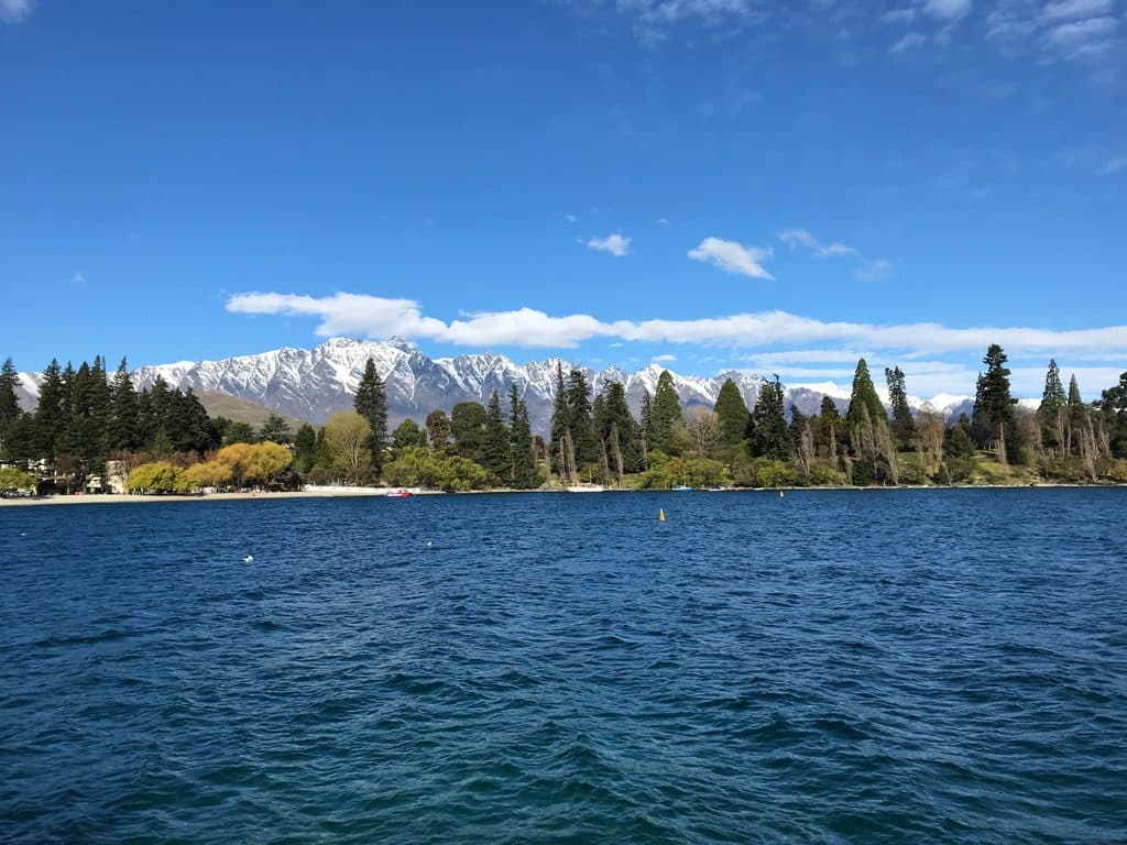
Lake Wakatipu—traditional name Whakatipu Waimāori—is a glacial “finger lake” with a distinctive reversed‑N dog‑leg shape. It stretches about 80 km, covers roughly 295 km², and plunges to ~420 m deep; the lake floor lies below sea level while the surface sits around 309 m above it. Queenstown, Glenorchy, and Kingston sit along its shores, with the Dart River / Te Awa Whakatipu and Rees River feeding the north and the Kawarau River draining from the Frankton Arm. Mountain backdrops include ranges like The Remarkables and the Tapuae‑o‑Uenuku / Hector Mountains.
How it formed
Pleistocene glaciers carved and over‑deepened the valley, leaving today’s long, narrow basin and the dog‑leg alignment, later dammed and shaped by moraines. Historically the lake drained via the Mataura River; today it exits through the Kawarau.
Culture and legend
The lake is commonly called Lake Wakatipu, with the traditional name Whakatipu Waimāori. One kōrero tells of an ogre burned in his sleep; his still‑beating heart explains the lake’s rhythmic rise and fall—a real seiche that lifts and lowers Queenstown Bay by about 20 cm every 26.7 minutes.
What you’ll see and do
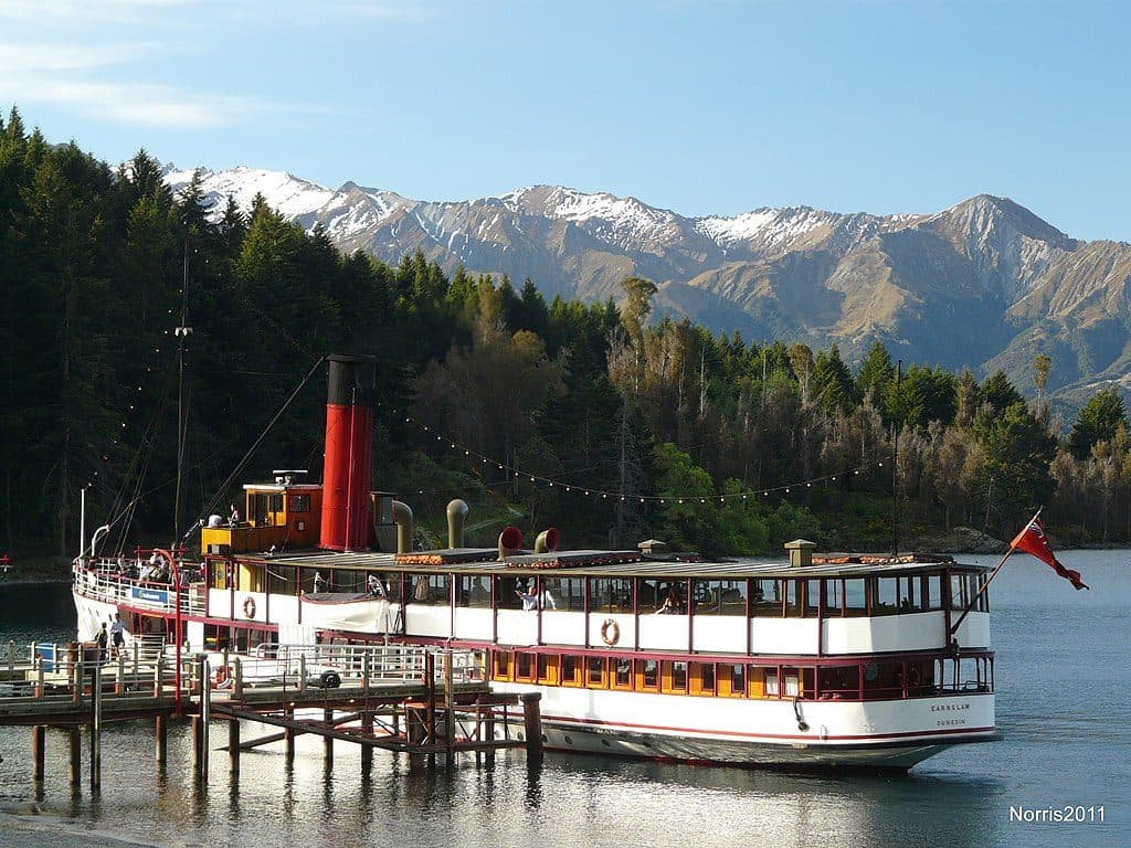
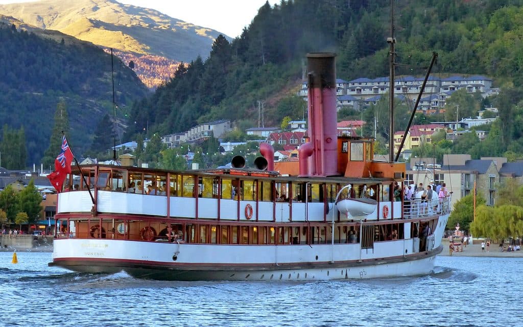
- Scenic cruising: Ride the vintage TSS Earnslaw across the lake.
- Iconic drives: The Queenstown–Glenorchy road for grand vistas; the Devil’s Staircase (toward Kingston) for dramatic cliff‑edge scenery.
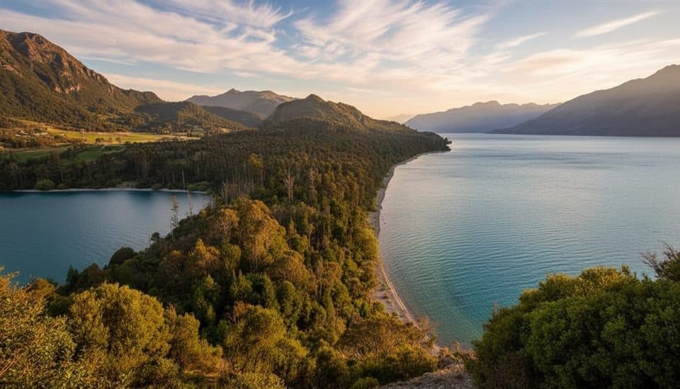
- Walks with payoff: Short outings like Bob’s Cove and the Bennett’s Bluff lookouts, or bigger tramps near the head of the lake in the Routeburn area.
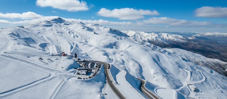
- Nearby adventure: Jet‑boating on the Dart, paragliding, winter skiing above the lake, and vineyards in the Gibbston area.
- Film connections: Shores and views feature in The Lord of the Rings and doubled for Loch Ness in The Water Horse.
Wildlife
Expect freshwater longfin eels and introduced sport fish (brown and rainbow trout, salmon). Around sheltered bays you may spot black‑billed gulls, pied shags/cormorants, and the more cryptic New Zealand scaup.
Safety, conditions, and local rules
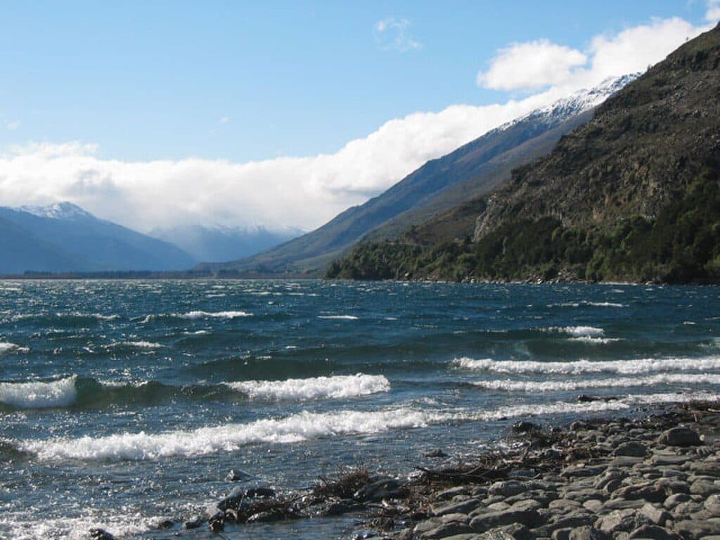
The water is cold year‑round (typically about 8–10°C). If you’re paddling or swimming, dress for immersion and treat the lake with respect. The Queenstown Lakes District Council Navigation Safety Bylaw applies—wear lifejackets and follow local rules. The lake’s seiche can subtly change beach and jetty levels, and storm‑driven flooding has occasionally affected lakeside towns; check local advisories in wet spells. Clean all boats and gear to prevent spreading aquatic pest lagarosiphon between water bodies.
Driving notes
Lakeside roads are winding with few barriers; allow time and pull off only where it’s safe. In winter (June–August), watch for ice, especially on shaded corners along the Devil’s Staircase.
Best time to visit
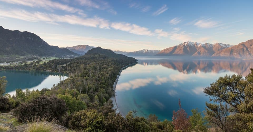
For photography and calmer water, aim for early morning or late afternoon. On still days, the Glenorchy end often serves up mirror‑like reflections. Winter brings snow‑dusted peaks and crisp air; summer offers long evenings—but the water remains cold in any season.

Where it is
-45.0894, 168.5352Tips for Lake Wakatipu
- 01For glassy reflections, go early or late on still days—especially near Glenorchy.
- 02The lake stays ~8–10°C; wear thermal protection if swimming or paddling.
- 03Follow the Queenstown Lakes District Council Navigation Safety Bylaw and wear lifejackets.
- 04Drive the Devil’s Staircase cautiously; expect ice from June–August.
- 05Decontaminate boats and gear to stop the spread of lagarosiphon between waterways.
Amenities
Near Lake Wakatipu
All places →All trails →
1.2 mi awayBob’s CoveTurquoise cove with a quick climb to a big lake viewTrailhead · Parking
1.5 mi awayMount Crichton Loop TrackGold-rush history, beech forest, and lake views close to QueenstownModerate · 5 mi · 2.5 hr
1.5 mi awayMt Crichton Loop TrackGold mining history meets beech forest on Queenstown's favorite loopModerate · 5 mi · 2.5 hr
1.6 mi awayWalter Peak High Country FarmLake cruise to a working high‑country sheep farm with demosRestroom · Food
1.6 mi awayWalter Peak Gourmet BBQHistoric steamship cruise to a lakeside farm with gourmet BBQFood · Restaurant
1.6 mi awayTwelve Mile DeltaSimple lakeside campground with big views near QueenstownCampground · Restroom
1.6 mi awayBob’s Cove to Twelve Mile Delta TrackLakeside wander linking two coves, with swims, fossils, and views.Easy · 3.7 mi · 1.8 hr
1.8 mi awayBob's Cove TrackShort, breezy lakeside loop to a jetty, kiln, and Picnic Point viewsEasy · 1.2 mi · 45 min