Pros & cons
PROS
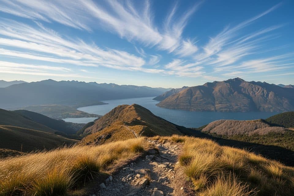
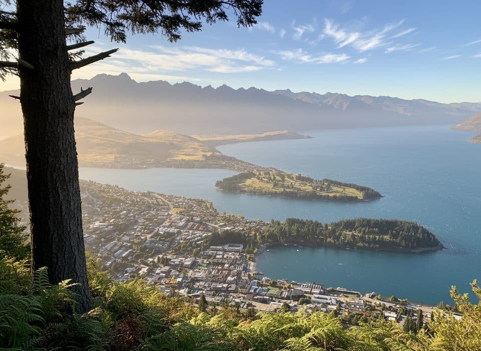
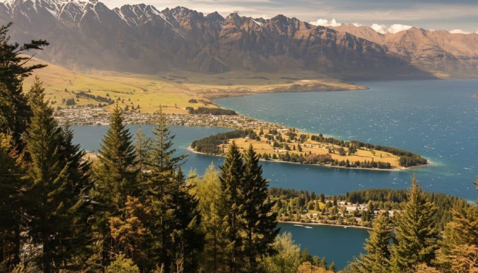
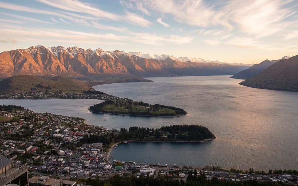
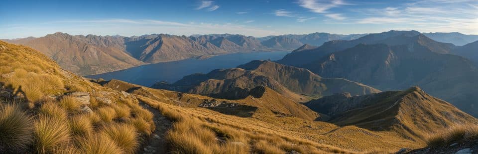
- Huge alpine views over Lake Wakatipu and the surrounding peaks
- DOC long‑drop toilet at the saddle
- Logical turnaround point with a bench and junction to Moonlight Track
CONS
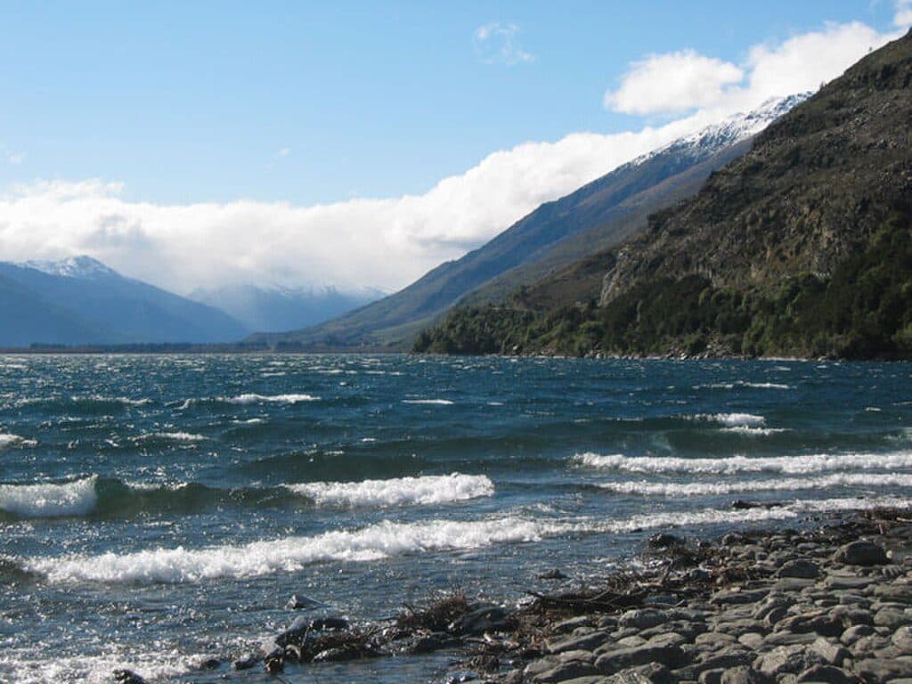
- Fully exposed and often windy
- No water taps anywhere on the track
Overview
Ben Lomond Saddle is the broad notch between Ben Lomond and Bowen Peak, reached by a well‑formed alpine track rising right out of Queenstown. The payoff is classic Wakatipu scenery—big lake views and a dramatic skyline—without committing to the steeper, rockier summit push.
What You’ll See
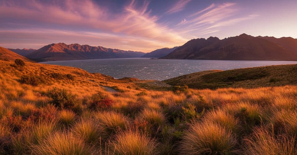
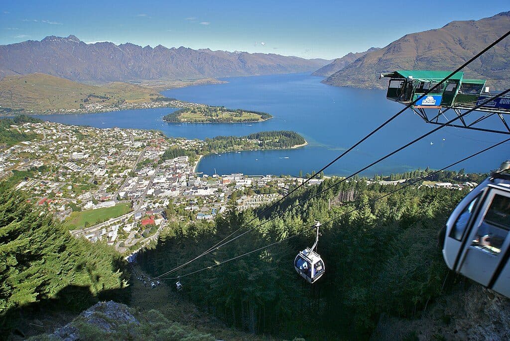
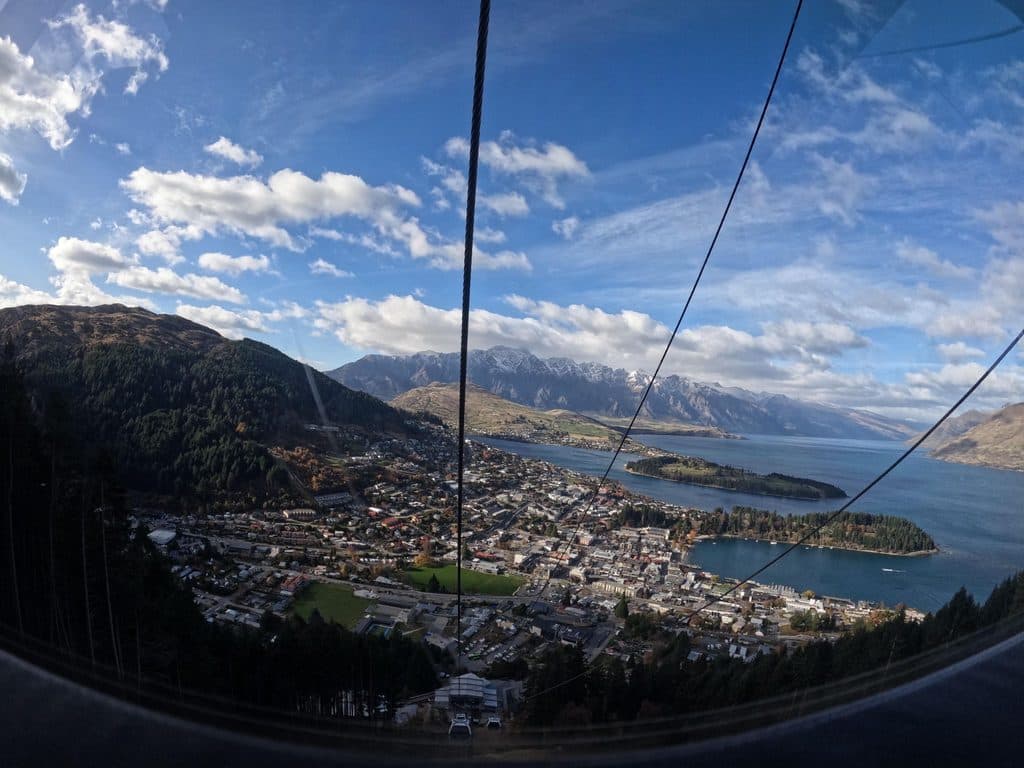
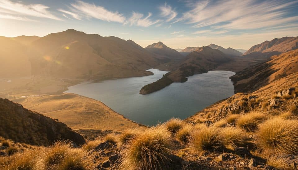
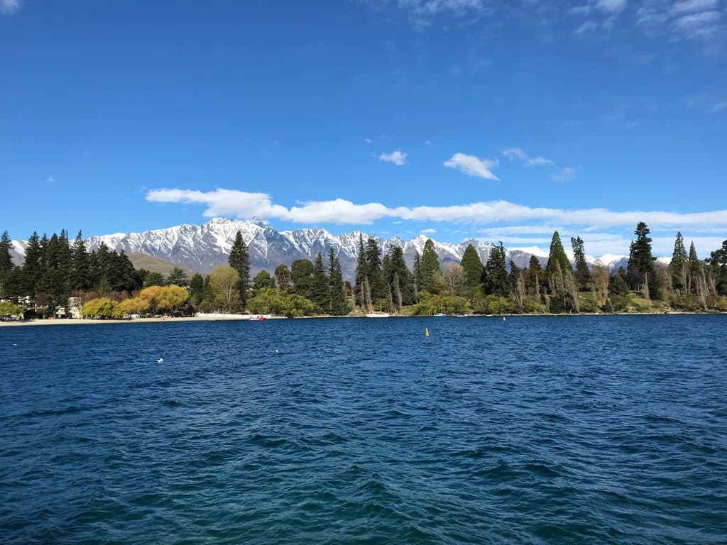
Expect wide‑open vistas across Lake Wakatipu, The Remarkables, and over to Cecil and Walter Peaks. On clear days, views stretch toward the Mt Aspiring range and even toward Fiordland. It feels remote despite being minutes from town.
Getting There
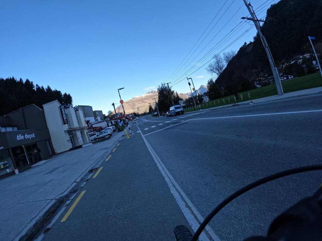
Most hikers start via the Tiki Trail from Brecon Street or ride the Skyline Gondola to cut roughly an hour and ~400 m of initial climb. Street parking near the gondola is limited and often time‑restricted; locals commonly park elsewhere in town (e.g., Man Street, Robins Road, Lake Street) and walk up.
Distance, Time, Difficulty (to the Saddle)
- From the Skyline top: 3–4 hours return (about 7 km return).
- From Queenstown via the Tiki Trail: about 5 hours return (around 10 km return).
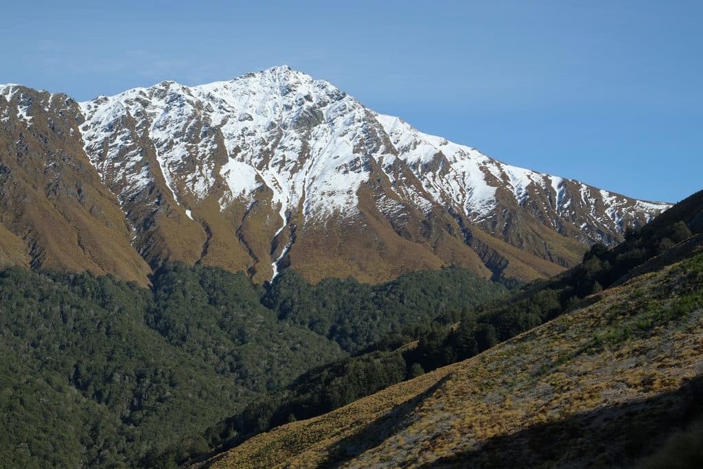
The track to the saddle is well‑made but relentlessly uphill and exposed. From the saddle (about 1,326 m) to the 1,748 m summit, the route becomes significantly steeper, rockier, and more exposed—treat that section as a true alpine climb.
On‑trail Logistics
- Facilities: There’s a DOC long‑drop toilet at the saddle; bring your own toilet paper and hand sanitizer. There are no other toilets on the track before that.
- Water: No taps anywhere—carry 2–3 liters per person, more on hot days.
- Junctions: Near the saddle you’ll meet the Moonlight Track; there’s a bench here that makes a great rest spot. Beyond the saddle toward the summit crosses private land—stay on the formed track.
Seasons, Weather, and Safety
Best hiking is November–April. Weather can shift fast, and hypothermia is a risk even in summer. In winter and spring, snow/ice commonly cover the upper half with avalanche risk; traction (microspikes/crampons), gloves, and full alpine skills may be needed. Start early, and turn back if conditions deteriorate—the saddle is a worthy goal on its own. A year‑round outdoor fire ban applies in this area.

Wildlife
Keep an eye out for native birds like tūī and bellbirds; keen observers occasionally spot kea higher up. Feral goats are sometimes seen on the slopes. If you continue toward Arthurs Point via Moonlight Track, you may encounter grazing stock on that section.
Best Time to Visit
Start early for calmer winds and fewer people—this is a popular track and can be busy even in autumn. Clear mornings typically deliver the best visibility and gentler light for photos. If you’re short on time or the wind picks up, make the saddle your turnaround point and skip the summit scramble.
Where it is
-45.0019, 168.6281Tips for Ben Lomond Saddle
- 01Ride the Skyline Gondola up to save roughly an hour and ~400 m of climb.
- 02Carry 2–3 liters of water per person—there are no taps on the track.
- 03Pack layers, sun protection, and gloves; it’s exposed and often windy even in summer.
- 04In winter/shoulder seasons bring traction and be prepared to turn around at the saddle.
- 05Bring your own toilet paper for the saddle long‑drop.
Amenities
Near Ben Lomond Saddle
All places →All trails →
0.7 mi awayBen LomondQueenstown’s signature summit day hike with huge lake and alpine viewsTrailhead · Restroom
2 mi awayZiptrek Ecotours QueenstownTree-to-tree ziplines with big lake and mountain viewsScenic Viewpoint
2 mi awayBob’s Peak – Queenstown Gondola LookoutQueenstown's classic skyline view via a quick gondola rideScenic Viewpoint · Restroom
2.1 mi awayMoonlight TrackBackcountry traverse with gold-rush relics and big Shotover viewsChallenging · 11.2 mi · 5 hr
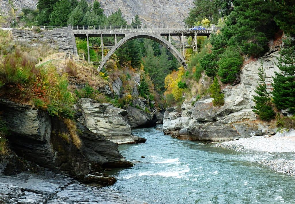
2.3 mi awayOxenbridge Tunnel, Shotover RiverShort walk to a historic river‑diversion tunnel in a dramatic gorgeTrailhead · Parking
2.3 mi awayTiki TrailShort, steep climb to Skyline’s knockout Queenstown and Wakatipu views.Moderate · 2.6 mi · 2 hr
2.6 mi awayQueenstown Hill Time WalkShort, steady climb to Queenstown’s best skyline and lake viewsModerate · 3.1 mi · 2.5 hr
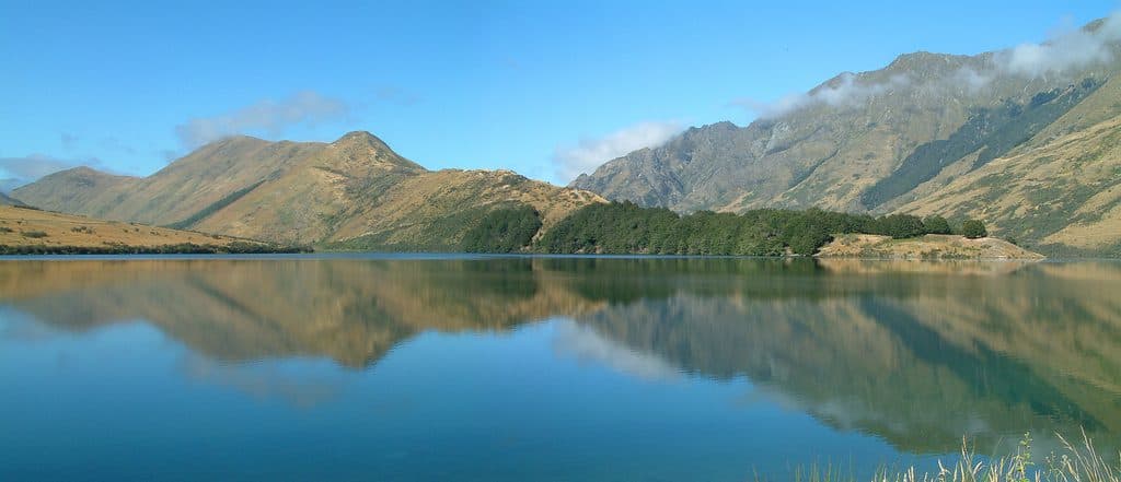
2.6 mi awayMoke Lake LoopGentle lakeside loop with big reflections near QueenstownEasy · 4.3 mi · 2 hr