Pros & cons
PROS
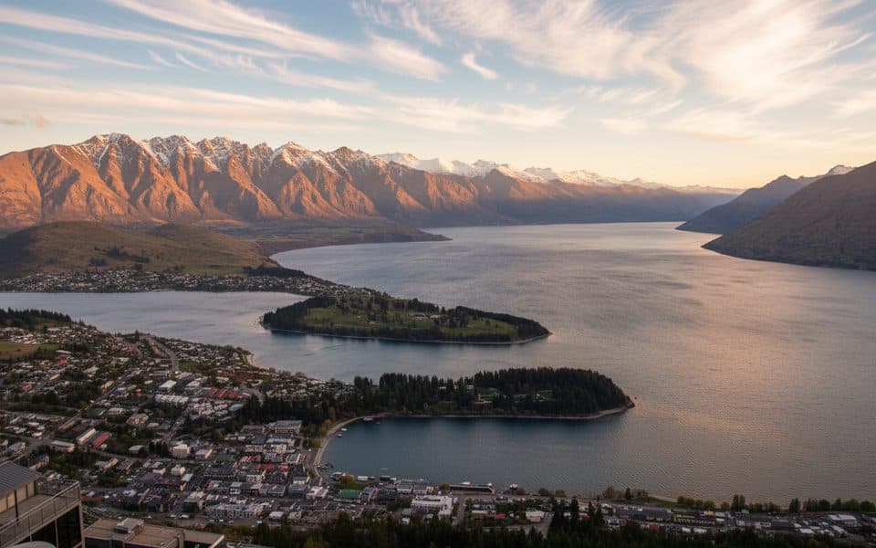
- Huge panoramas over Queenstown/Frankton, Lake Wakatipu and the Remarkables
- Quick roadside stop with small parking bays
- Fun plane‑spotting vantage on clear days
CONS
- Often extremely windy and very exposed
- Very limited parking; fills fast
- No toilets or facilities
Overview
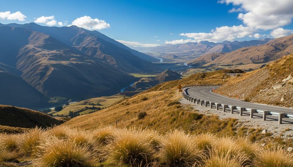
Perched on New Zealand’s highest through‑road between Queenstown and Wānaka, this roadside perch dishes up a big‑screen view of the basin—Queenstown/Frankton, a slice of Lake Wakatipu, and the Remarkables lined up behind. It’s free, open all hours, and most people spend about five minutes here—long enough to soak in the panorama and grab a few photos.
What You’ll See
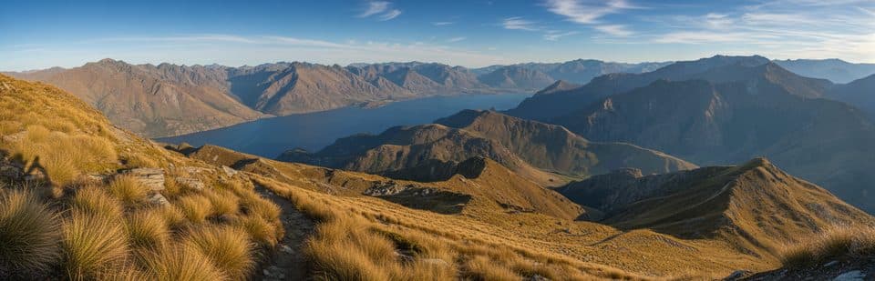
- Broad valley vistas with the Zig‑zagging Crown Range Road curling below.
- On clear days, aircraft on approach to Queenstown Airport add a cool sense of scale.
- You’re in old Otago gold‑mining country; tailings are still visible in places if you know where to look.
Two Quick Stops (Do Both)
- Summit Lookout: the classic panorama and easiest pull‑off.
- Lower Valley View (a few minutes toward Queenstown): fewer people, wider view of the winding road and valley; parking for only a handful of cars.
On‑Site Basics
- Facilities: none—no toilets, water, bins, shelter or lighting. Use bathrooms in Queenstown, Wānaka or Cardrona first.
- Parking: small bays that fill quickly; park fully off the roadway.
- A short track at the summit leads a bit higher for an even bigger view.
- There is a designated summit overnight spot for self‑contained campervans only (no facilities).
Driving, Seasons & Safety
- The road is sealed but steep and twisty with tight switchbacks—use lower gears on descents and watch for cyclists and campervans.
- Winter (May–September): snow and ice are possible; carry chains, know how to fit them, and check conditions with Waka Kotahi before you go. Summer brings heavier traffic—take it slow.
- It’s notoriously windy year‑round; secure hats and tripods, and keep children close near exposed edges.
- Curious kea (alpine parrots) sometimes visit higher pull‑offs—enjoy them, but don’t feed them.

Best Time to Visit
- Sunrise or sunset brings the most flattering light and mood; after rain, low cloud can be dramatic.
- Midday is busier—late morning to early afternoon sees the biggest crowds, especially on Fridays. Early mornings and late afternoons are calmer and parking is easier.
Good to Combine
Cardrona Hotel for a classic pub stop, Arrowtown’s heritage streets, the Lake Hayes loop, or wineries in Gibbston. If alpine driving isn’t your thing (especially in winter), the longer Cromwell route is an easier alternative.
Where it is
-44.9957, 168.9203Crown Range Scenic Lookout
Tips for Crown Range Scenic Lookout
- 01Stop at both the summit lookout and the lower valley view for different angles.
- 02Bring a windproof layer—gusts can be fierce even in summer.
- 03In winter, carry chains and check road conditions before leaving.
- 04Aim for sunrise or late afternoon for softer light and easier parking.
- 05Use lower gears on the descent and watch for cyclists and campervans.
Amenities
Near Crown Range Scenic Lookout
All places →All trails →
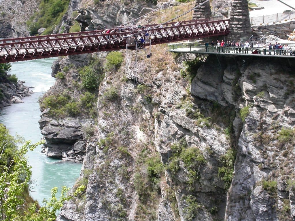
1.4 mi awayKawarau Bridge BungyThe original bungy jump over the Kawarau River gorgeParking · Scenic Viewpoint
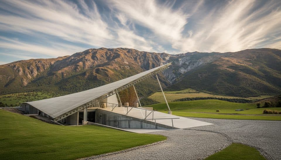
2.2 mi awayPeregrine WinesFalcon-wing winery for focused, scenic tastingsParking
5.4 mi awayHampshire Holiday Park ArrowtownArrowtown base with sites, cabins, and a solid communal kitchenCampground · Lodging
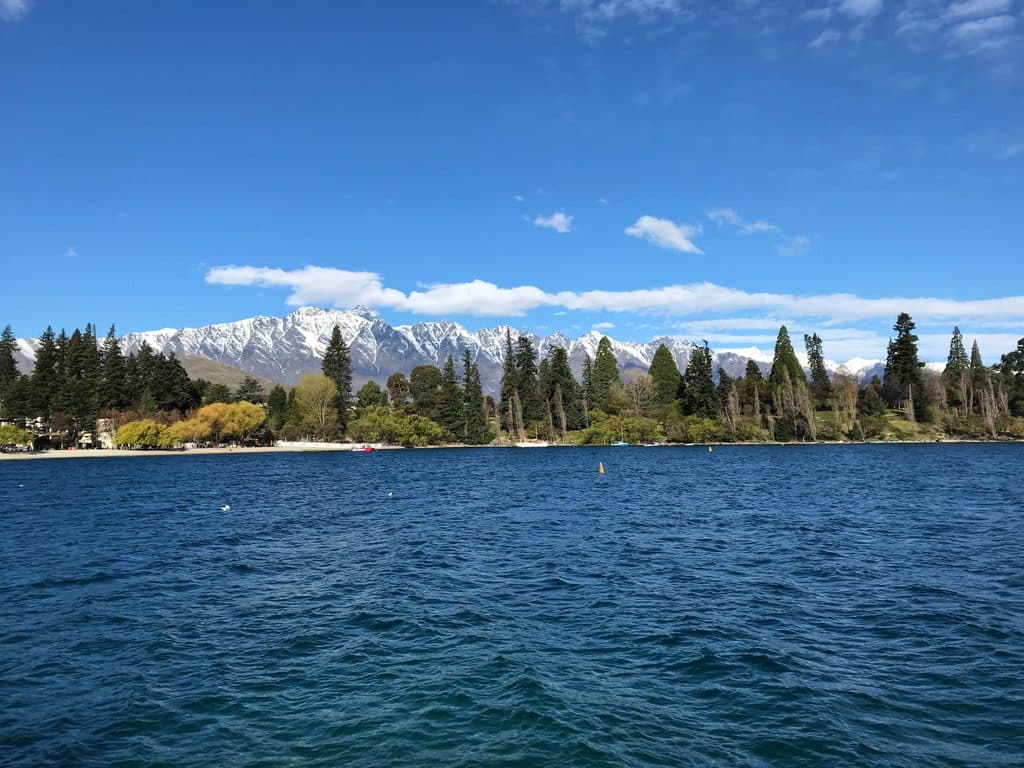
5.5 mi awayLake HayesMirror-calm lake loop with birds, reflections, and autumn colorTrailhead · Parking
5.9 mi awaySawpit Gully TrackGold mining history and big views on a punchy Arrowtown loop.Moderate · 4.8 mi · 2.5 hr
5.9 mi awayCoronet Face Water Race TrackHistoric traverse with huge Wakatipu views and a few spicy edgesModerate · 3.7 mi · 1.3 hr
6 mi awayLake Hayes WalkwayEasy lakeside loop with mirror views and autumn color pop.Easy · 4.9 mi · 2.5 hr
6 mi awayBig Hill TrackHistoric bridle route to big Otago views from Big Hill SaddleChallenging · 9.3 mi · 5.5 hr