Place · 0.2 mi away

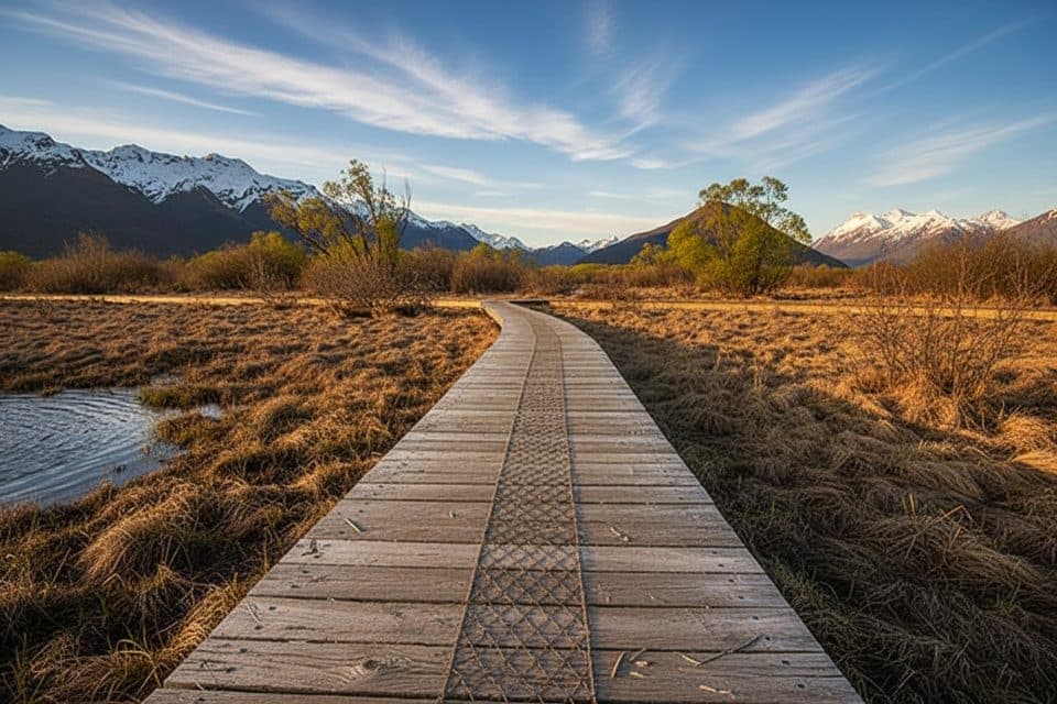
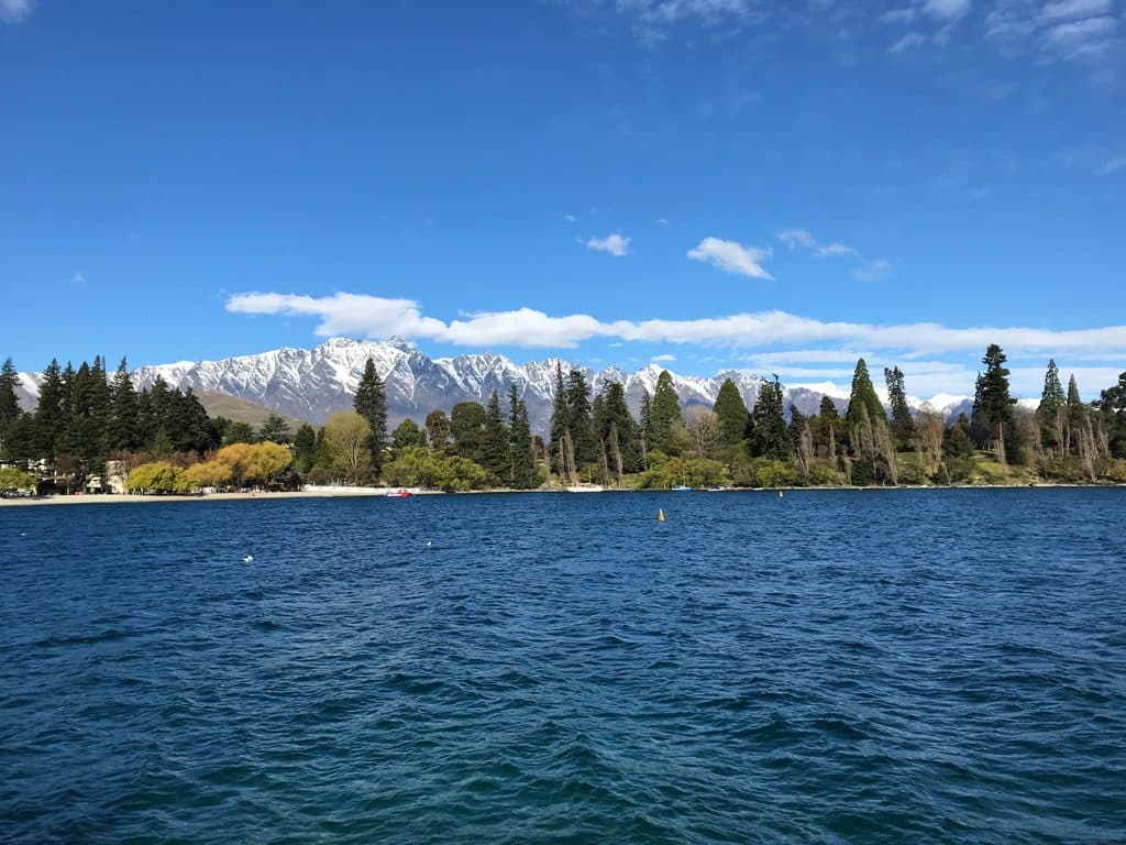
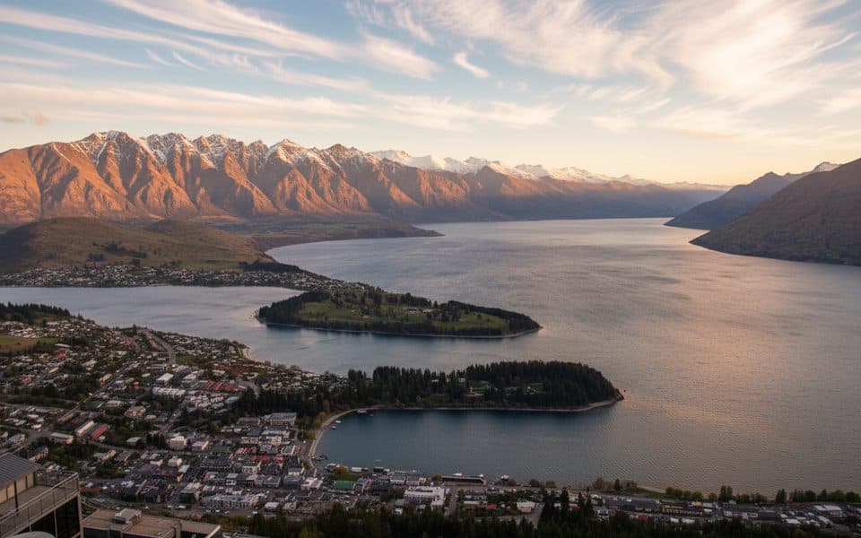
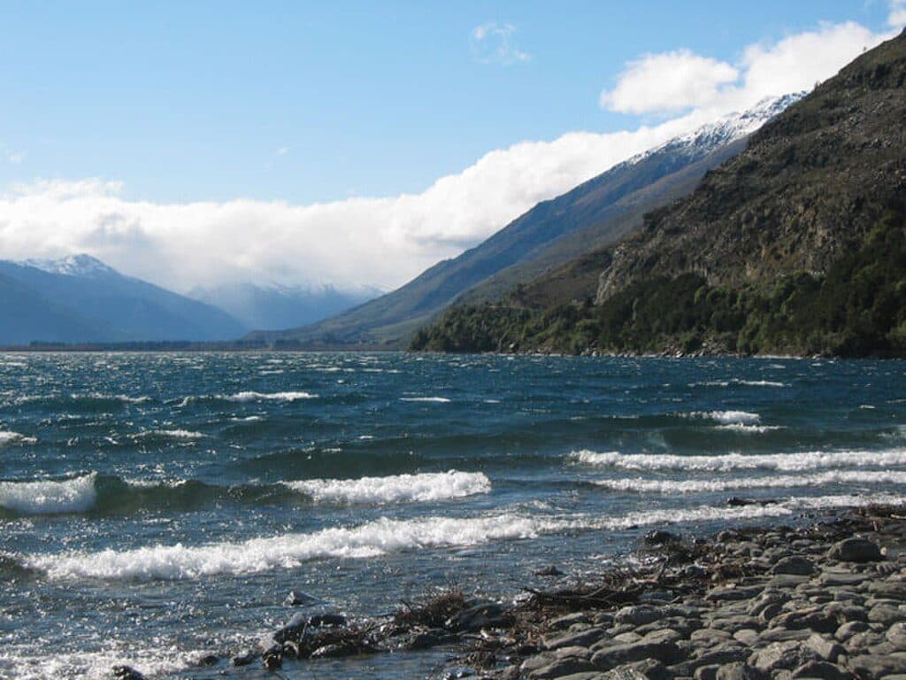
Glenorchy is the small, end‑of‑the‑road settlement at the northern tip of Lake Wakatipu, framed by the Southern Alps. It’s the launchpad for some of New Zealand’s finest backcountry—think the Routeburn, Rees–Dart, and Greenstone–Caples—and a hub for jetboats, ziplines, horse treks, and even heli‑biking. The drive here from Queenstown hugs the lake and is famously scenic, with a safer, signed stop at Bennetts Bluff along the way.
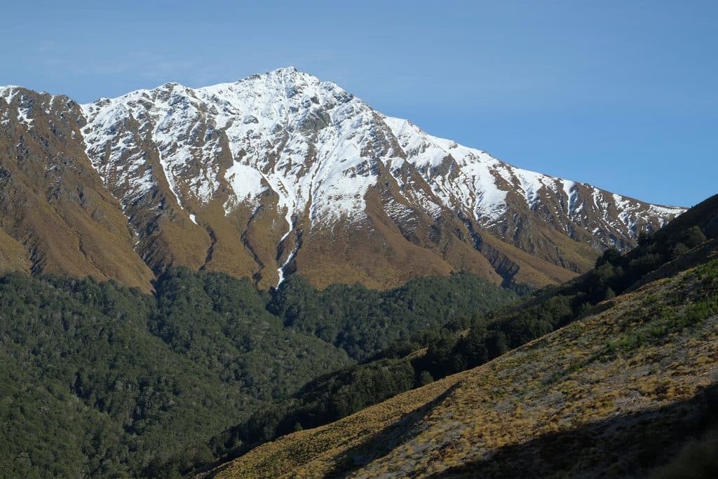
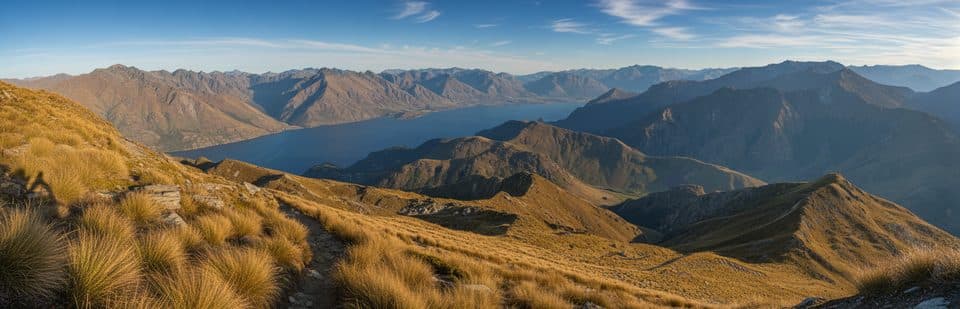
You’re on the doorstep of Te Wāhipounamu’s ancient beech forests and glacier‑carved valleys. Bellbird and tūī chorus in the bush; kākā and alpine kea haunt higher country; even takahē and several kiwi species live in the wider region. The scenery owes plenty to the Alpine Fault and past glaciation—expect big U‑shaped valleys, hanging waterfalls, and braided rivers.
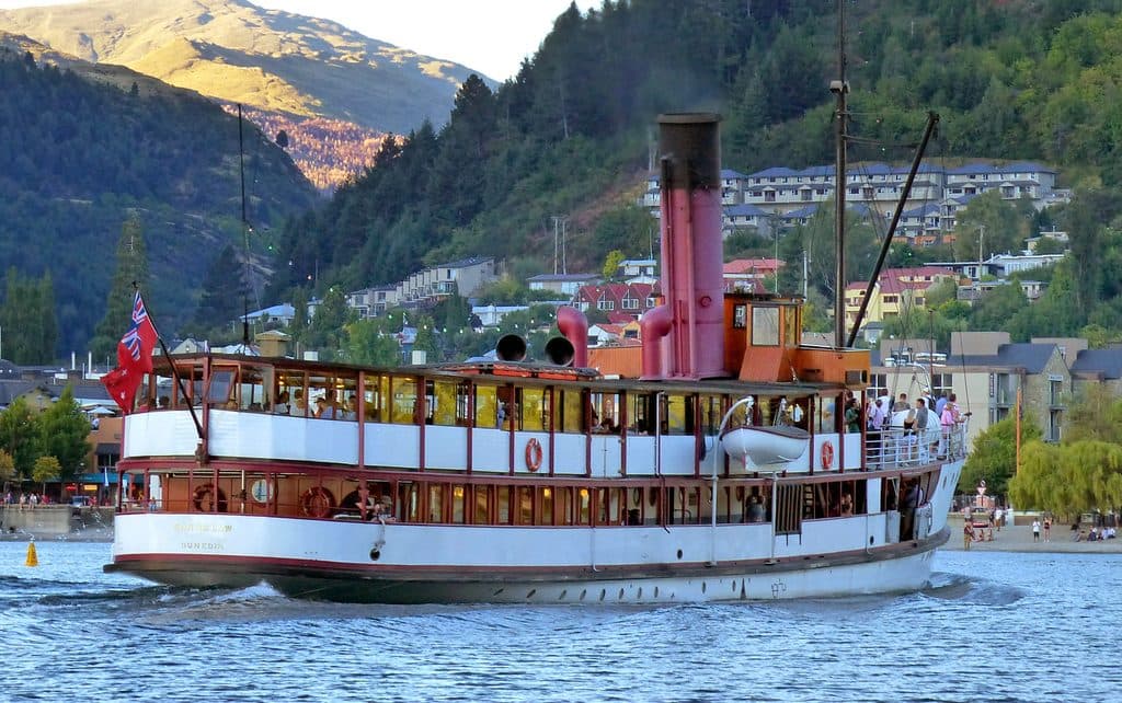
Pastoralists arrived in the early 1860s, followed by a gold rush at Buckler Burn that swelled the population to the thousands. Scheelite (tungsten) mining later boomed through the World Wars before fading mid‑century. The road to Queenstown only opened in 1962—before that, lake steamers linked the townships—so Glenorchy still feels like a frontier gateway.
Weather turns quickly and the terrain is exposed. Follow the New Zealand Land Safety Code, use the Plan My Walk app for track status, and consider guided options or pre‑arranged shuttles to trailheads. Parts of Earnslaw Burn cross private land—respect signage and only camp where allowed. Expect sandflies near water, and note many DOC sites require treating tap water. Campfires are generally not permitted.
For alpine tracks like the Routeburn and Rees–Dart, the recommended window is late November through April due to avalanche risk. Summer and early autumn bring longer days and more tour traffic; start early for popular tracks and allow extra time for the partially unsealed access to Routeburn Shelter. Book activities and transport ahead in peak season.