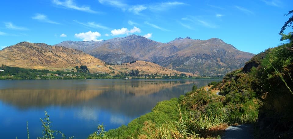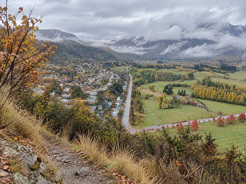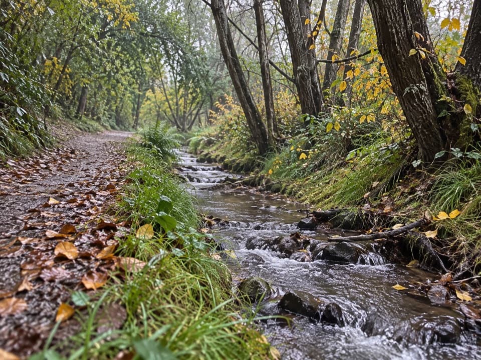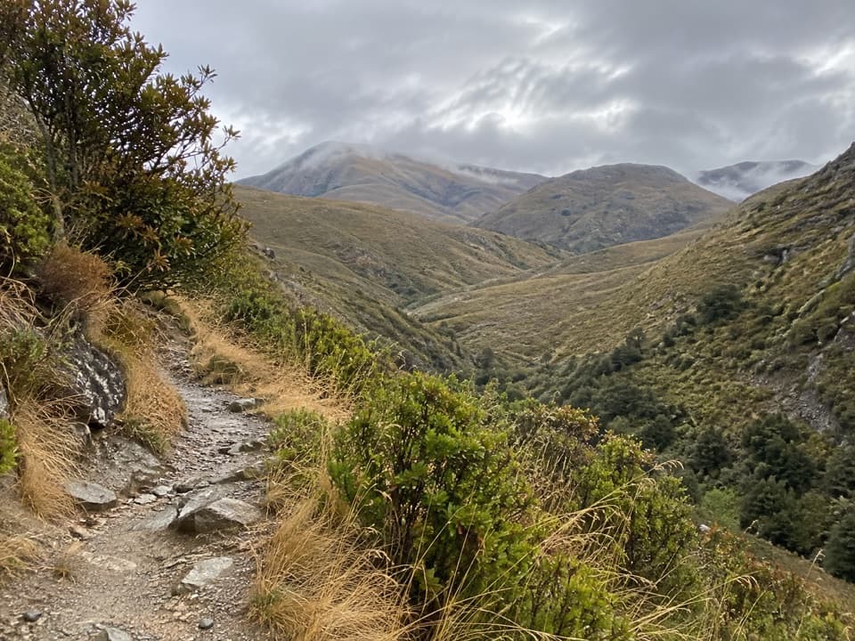
Lake Hayes Beach in Queenstown-Lakes District, New Zealand

Beach · Queenstown-Lakes District, New Zealand

Lake Hayes Beach

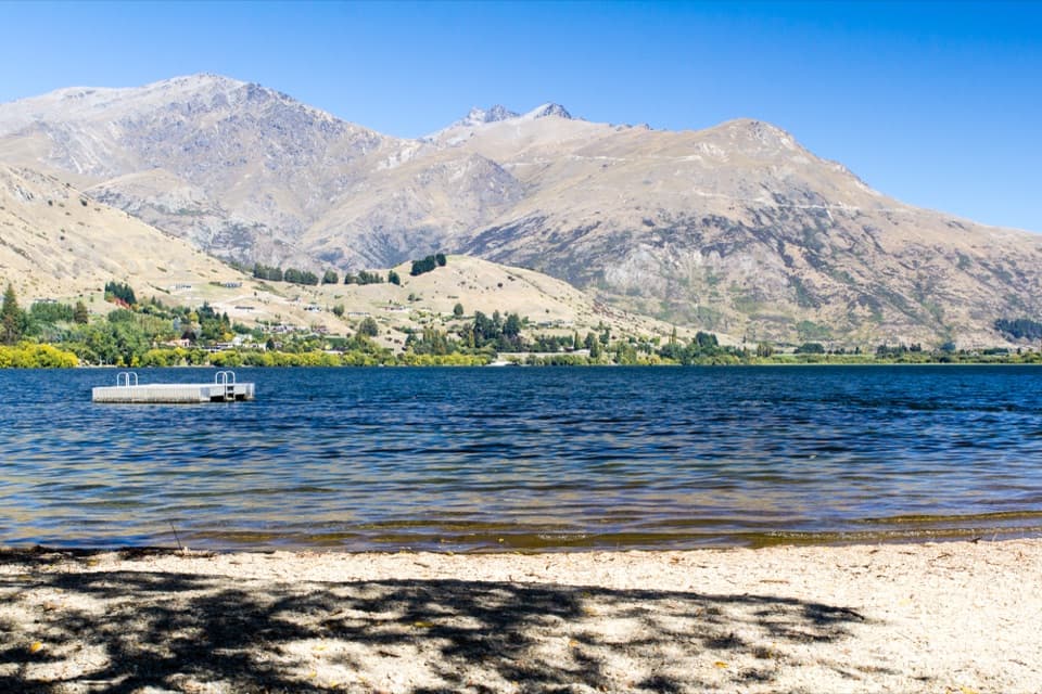
A pebbly shore with a pontoon and Remarkables views.

Photo: Oren Rozen, CC BY-SA 3.0, via Wikimedia Commons

Type
Beach
Nearest trail
0.9 km
Audio stories
7 nearby
  • Restrooms
  • Parking
  • Scenic viewpoint
  • #36 of 83 sights

Hear the audio tour

Lake Hayes Beach and Shoreline
Download Parkwolf on the App StoreGet Parkwolf on Google Play

4.7 from 8,600+ ratings

Overview

About Lake Hayes Beach

Why stop

  • A close lakefront view with the Remarkables across the water.

Map

Where it is

Loading the Queenstown-Lakes District map
Full map
BeachLake Hayes Beach-44.96866, 168.81302
Keep this map with you offline in the Parkwolf app

Plan your stop

Before you go

Facilities and water

An unpaved parking area and public toilets are beside the northern access. Their capacity, fees, toilet type and drinking-water supply are unconfirmed; no food outlet was identified here, so bring a snack and water. Check current local water-quality advice before entering the lake.


3 active Queenstown-Lakes District alerts

  • CautionRob Roy Track: stop at lower lookout during avalanche seasonFrom May to November, end your Rob Roy Track hike at the lower lookout: DOC strongly recommends this because the upper section crosses active avalanche paths.Official details
  • ClosureSkippers Bridge closed to all usersSkippers Bridge is closed to all vehicles, cyclists and pedestrians; stay off the bridge and obey closure signs and barriers.Official details
See all 3 alerts
A park ranger sits on a dash-mounted phone, talking, as Parkwolf’s Tour Guide plays “Army Cutworm Moths: A Grizzly Bear Buffet” on Grand Loop Road below Dunraven Pass in Yellowstone
Parkwolf Tour GuideThe highest, rockiest slopes around here are a summer buffet for grizzly bears.

Queenstown-Lakes District Tour Guide

Your drive to Lake Hayes Beach, narrated.

Parkwolf is a GPS audio tour guide for Queenstown-Lakes District, New Zealand. As you drive, it chimes in with what’s ahead: hidden gems, upcoming stops, history, geology, and wildlife, right through your car’s speakers.

See the Queenstown-Lakes District audio tour

Recorded for this place

Lake Hayes Beach and Shoreline
0:00 / 0:31
“Up ahead is the northern shore access for Lake Hayes Beach. I'd use the grassed reserve for a picnic or a short pause by the pebbly shore, with the Remarkables across the water.”

Plays as you drive up to Lake Hayes Beach in the Parkwolf Queenstown-Lakes District Tour Guide.

More stories near here in the app

  • Mora Wines and Artisan Kitchen
  • Amisfield Restaurant and Cellar Door
  • Why Wet Pebbles Look Darker
  • The Starling That Wears Away Its Spots
  • 298 audio storiesacross Queenstown-Lakes District’s roads, triggered by GPS as you drive
  • Wildlife heatmapsfor Kea, Kākā, Kererū, and 13 more
  • Works offlinemaps, 155 trails, 129 places, and audio download before you lose signal
  • CarPlay readysimple controls built for the drive
★★★★★
“Fantastic app with many points of information… It’s great to just turn on while you’re driving and it gives you an audio tour of the national Park. We love it!!!!”
JMJamesApp Store review
Download Parkwolf on the App StoreGet Parkwolf on Google Play

4.7 from 8,600+ ratings

Guide

More about Lake Hayes Beach

A short lakeside stopLake Hayes Beach is a pebbly north-shore access to Waiwhakaata / Lake Hayes, the glacial lake…

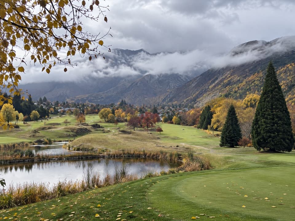
Lake Hayes Beach is a pebbly north-shore access to Waiwhakaata / Lake Hayes, the glacial lake between Queenstown and Arrowtown. A grassed reserve beside the water makes this an easy place for a quick look or picnic; the floating pontoon and the Remarkables across the lake are the signature scene. For more than a shoreline stop, the full circuit is an 8 km walk that takes about two to three hours.

Walk the whole shorelineThe Waiwhakaata Lake Hayes Trail is an 8 km loop, with a two-to-three-hour walking estimate.

The Waiwhakaata Lake Hayes Trail is an 8 km loop, with a two-to-three-hour walking estimate. Views change around the shore, and the western side climbs along Slope Hill above Bendemeer Bay. The circuit is a longer visit than the beach stop; one account notes little shade on a hot day and dust beside a short road section, so carry sun protection and expect some passing traffic.

A name about reflectionWaiwhakaata is another name for the lake.

Waiwhakaata is another name for the lake. The traditional name Te Whaka-ata a Haki-te-kura refers to Ngāi Tahu ancestress Haki-te-kura, whose image was said to be reflected in the water. Settlers first called it Hays Lake after D. Hay; the later name Lake Hayes was mistakenly linked to Captain “Bully” Hayes.

Birds and the viewLake Hayes is a glacial lake, 2.76 square kilometres in area and up to 33 metres deep.

Lake Hayes is a glacial lake, 2.76 square kilometres in area and up to 33 metres deep. Birds recorded here include native New Zealand scaup, Australasian crested grebe and black shag, alongside mallards and geese. From the northern shore, frame the floating pontoon against the lake and the Remarkables; reflections are strongest when the surface is calm.

Wildlife

Wildlife in Queenstown-Lakes District

All Queenstown-Lakes District wildlife maps

Sighting maps show where each species has been reported across Queenstown-Lakes District. Wildlife moves, so no sighting is guaranteed.

Keep exploring

Near Lake Hayes Beach

See it all on the map

Trails nearby

More stops nearby

Parkwolf’s Queenstown-Lakes District ranking

Top sights in Queenstown-Lakes District

All 129 places
  1. 1Skyline QueenstownSight
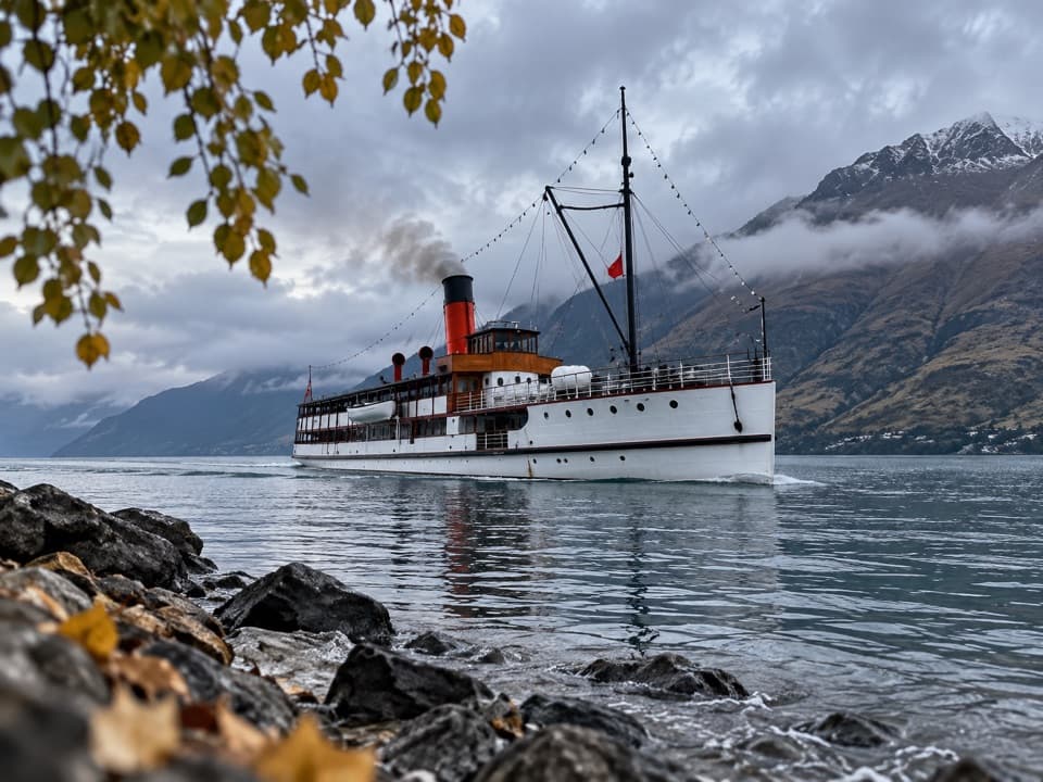
  2. 2TSS EarnslawSight
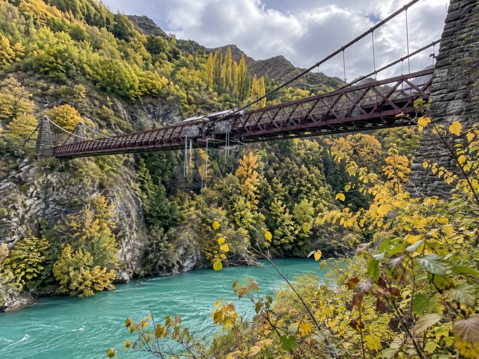
  3. 3Kawarau Bridge and Bungy CentreSight
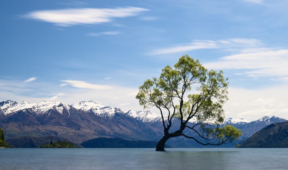
  4. 4That Wānaka TreeSight
  5. 5Queenstown GardensSight
  6. 6Shotover JetSight

Take Parkwolf to Queenstown-Lakes District.

The audio tour guide for the drive, plus offline maps, trails, and wildlife heatmaps for when the signal drops.

4.7 from 8,600+ ratings

Download Parkwolf on the App StoreGet Parkwolf on Google Play