Parking
Start at the Arrowtown River car park beside Dudley’s Cottage. Parking is also identified at Old Lower Shotover Bridge; arrange a pickup or return transport because the route is one-way.
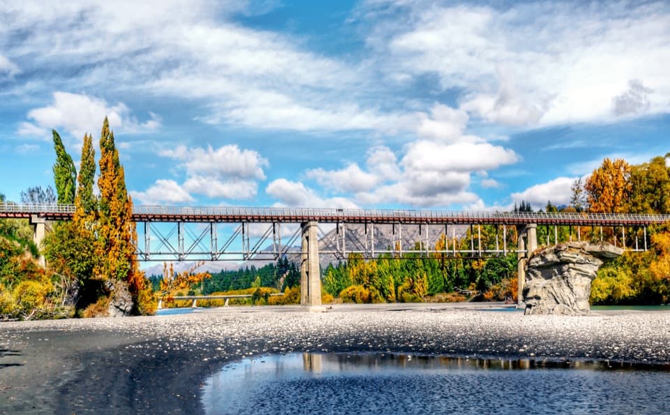
Queenstown-Lakes District, New Zealand, OT
A basin crossing, Slope Hill climb, and a Shotover bridge finish.
Overview
Map & elevation
Plan your hike

The highest, rockiest slopes around here are a summer buffet for grizzly bears.
Queenstown-Lakes District Tour Guide
Parkwolf is a GPS audio tour guide for Queenstown-Lakes District, New Zealand. As you drive, it chimes in with what’s ahead: hidden gems, upcoming stops, history, geology, and wildlife, right through your car’s speakers.
See the Queenstown-Lakes District audio tourRecorded for this trailhead
Arrowtown Chinese Settlement“You're coming up on Arrowtown's Chinese Settlement beside Bush Creek. Allow thirty minutes to an hour, and leave time to read the panels in English and Chinese.”
Plays as you drive up to this trailhead in the Parkwolf Queenstown-Lakes District Tour Guide.
More stories near here in the app
“Fantastic app with many points of information… It’s great to just turn on while you’re driving and it gives you an audio tour of the national Park. We love it!!!!”


Trail guide
Countryside Trail is a 12.8 km (about 8 mi) point-to-point walk from Arrowtown to Old Lower Shotover Bridge, crossing the Whakatipu Basin through Millbrook and over Slope Hill. Allow 2.5 to 4 hours; plan on about three hours at a steady walking pace. It’s a half-day outing with several steep pitches, not a short stroll from Arrowtown. Plan your return from the far end before you set off.
Start by Dudley’s Cottage at the Arrowtown River car park, cross Manse Road, then follow the marked route through Millbrook Resort. Some stretches use shared resort roads, so keep an eye out for cyclists and stay on the marked trail. Arrowtown’s cafés are a useful place for coffee or breakfast before the walk.
Sharp Rise is the first steep pitch after Millbrook; the descent looks toward the Remarkables, and the climb back takes effort. The route then turns past wetland and Slope Hill Reserve before the longer climb over Slope Hill, partly on shared road. More than 20,000 native trees have been planted in the reserve by the Whakatipu Reforestation Trust, making this a noticeable restoration landscape as well as the route’s main climb.
After crossing Dalefield, the trail works toward the Shotover River. Cardiac Climb is a short, steep pinch between the river and the terrace near Domain Road. The final stretch follows willows beside the river to Old Lower Shotover Bridge, a 1915 crossing restored in 2004. This route ends at the bridge; continuing toward Frankton means joining other trails.
There’s parking at the Arrowtown start and by the bridge, but this is not a loop, so arrange a pickup or other return transport. Dogs are allowed under control. The route is shared with cyclists, and the steeper descents deserve extra attention.
Wildlife
 194 sightingsKeaMost seen around 5 PMSighting map
 18 sightingsKākāMost seen around 6 PMSighting map
 198 sightingsKererūMost seen around 10 AMSighting map
 53 sightingsWekaMost seen around 6 PMSighting map
 245 sightingsTūīMost seen around 8 AMSighting map
 98 sightingsBellbirdMost seen around 6 AMSighting map
Sighting maps show where each species has been reported across Queenstown-Lakes District. Wildlife moves, so no sighting is guaranteed.
Keep exploring
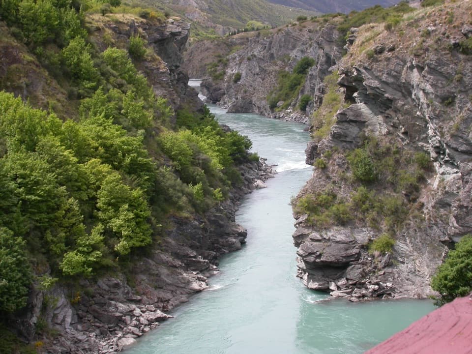 ModerateArrow River Bridges Trail13.3 km · 4 hr · At the trailheadFive river bridges lead to an 1880 gorge landmark.
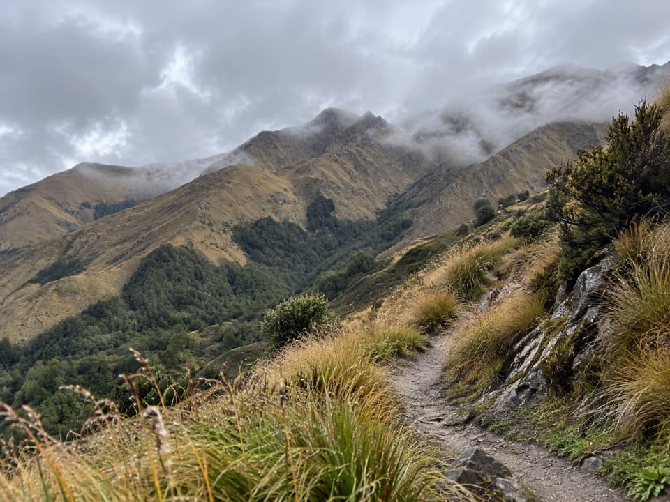 ChallengingBrow Peak Trail14.6 km · 6.5 hr · At the trailheadA full-day climb to an exposed alpine ridge above Arrowtown.
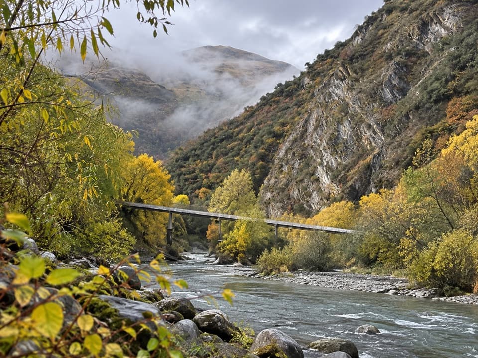 EasyArrow Gorge Track3 km · 1 hr · At the trailheadA short Arrow River gorge walk with a small waterfall.
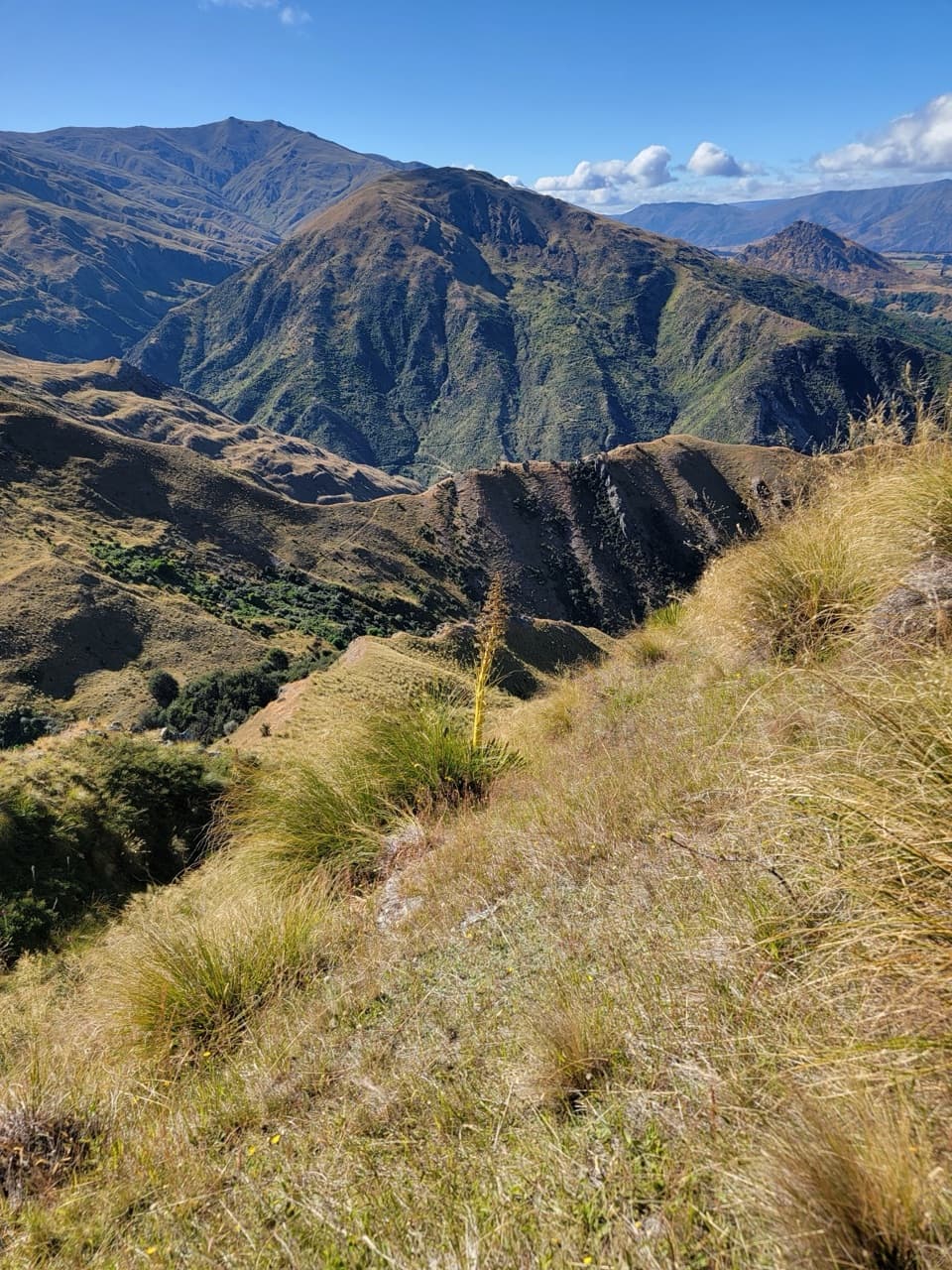 ChallengingHayes Creek Trail18.4 km · 5.5 hr · At the trailheadA full-day Arrowtown loop over Big Hill and down Hayes Creek.
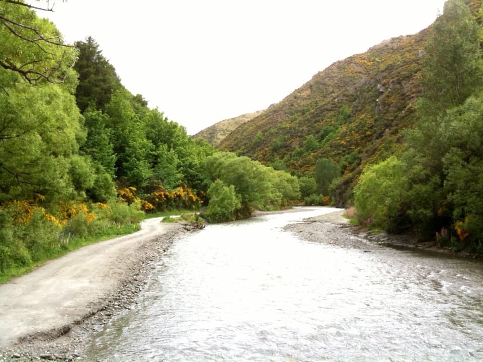 ChallengingMacetown Road Walk to Macetown Historic Reserve15 km · 3.5 hr · At the trailheadA long river road ends at an unusually intact gold-rush town.
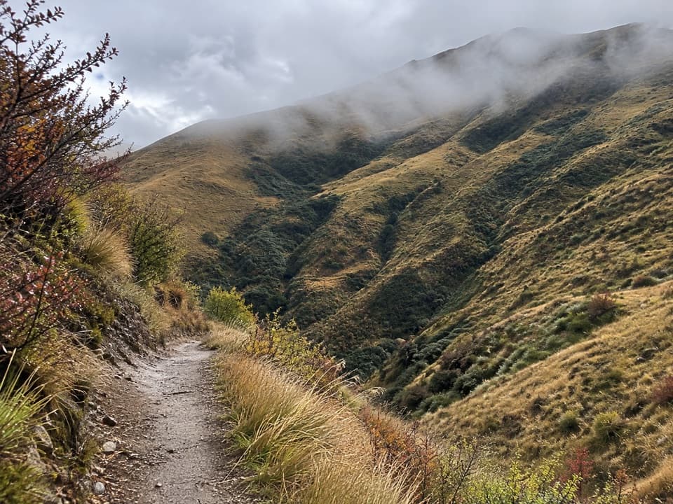 ChallengingBig Hill Trail15.5 km · 8 hr · At the trailheadA historic bridle climb to a high saddle above Arrowtown.
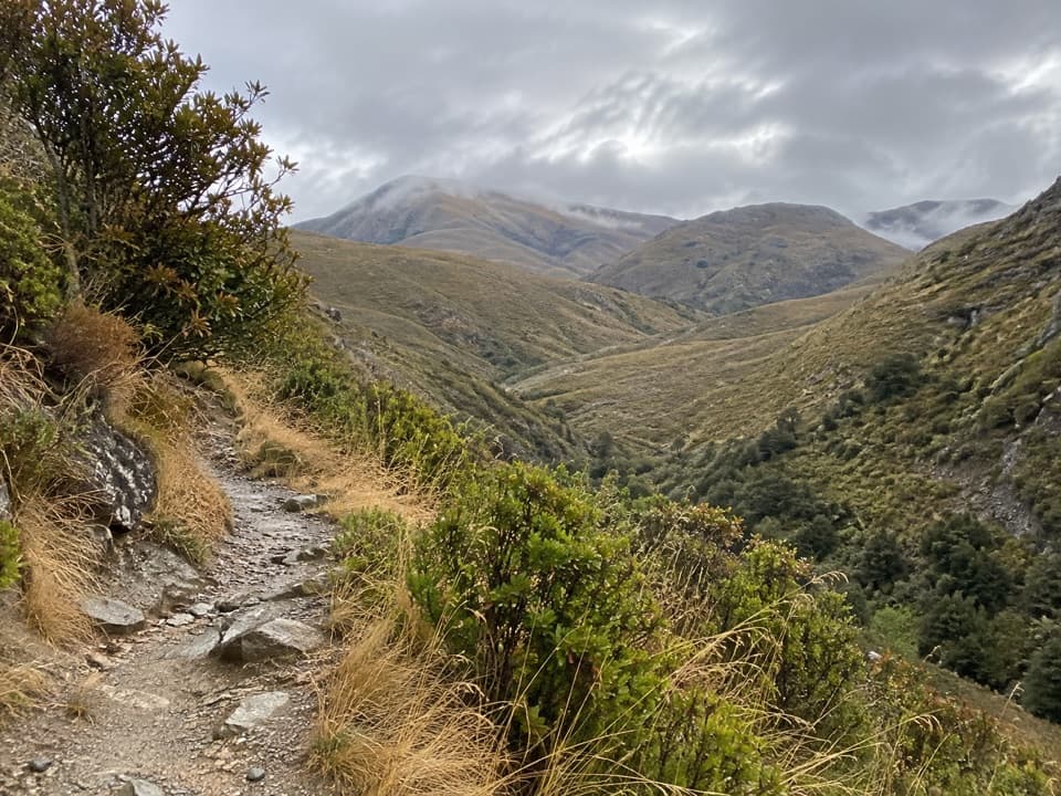 ModerateSawpit Gully Trail7.9 km · 3 hr · 0.1 km awayGold-mining traces and basin views on a varied hillside loop.
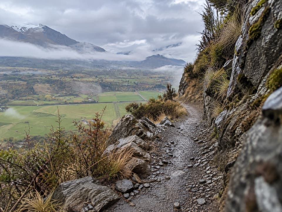 ChallengingCoronet Loop Trail49.9 km · 16 hr · 0.1 km awayMining water race and remote valleys on a huge loop.
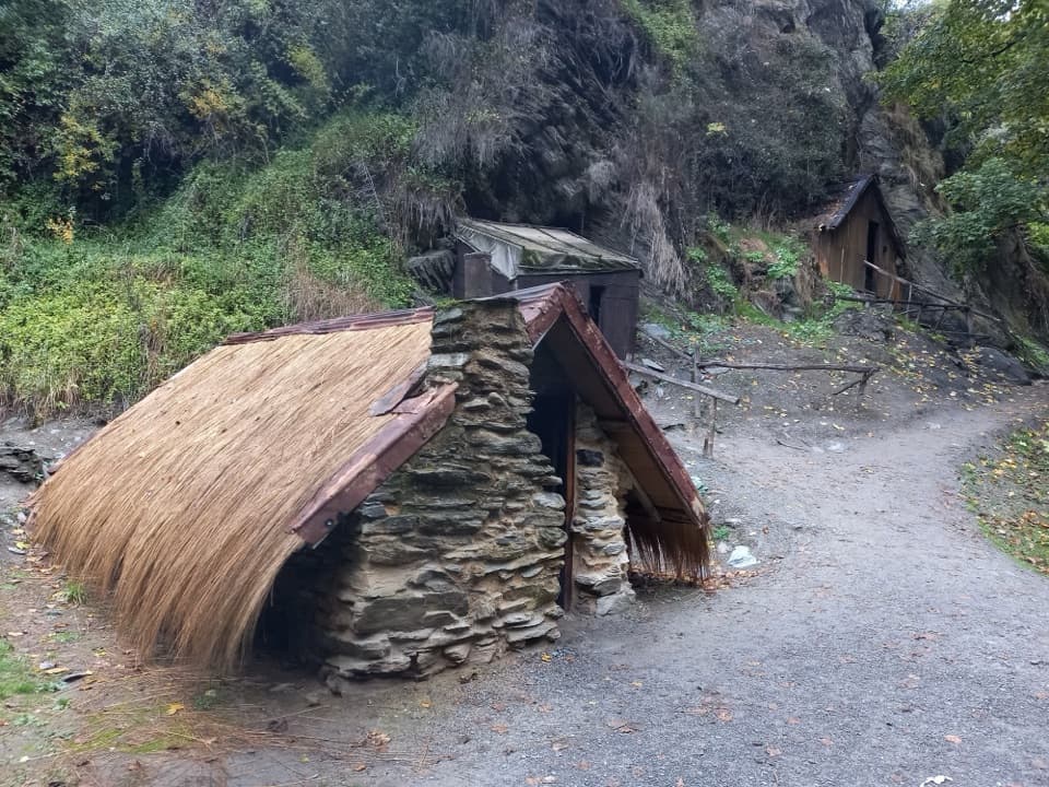 Sight · At the trailheadArrowtown Chinese SettlementA creekside heritage walk to a rare Chinese store.
 Sight · 0.2 km awayDorothy Browns Cinema, Bookstore and BarArrowtown’s boutique cinema adds a bookshop and bar to the night out.
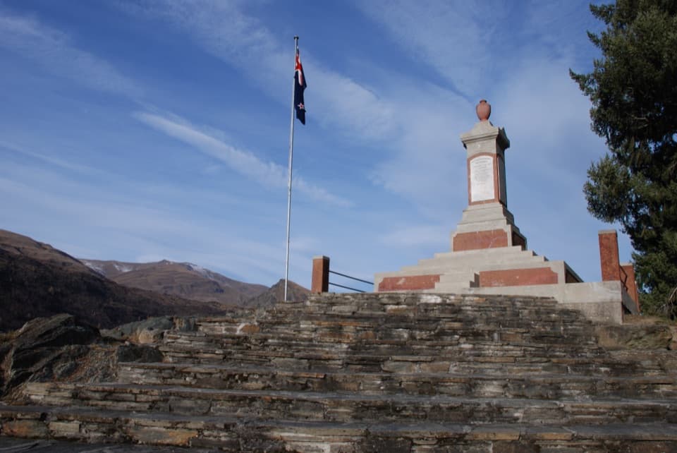 Sight · 0.3 km awayArrowtown and Districts War MemorialA quiet hilltop memorial with Arrowtown spread below.
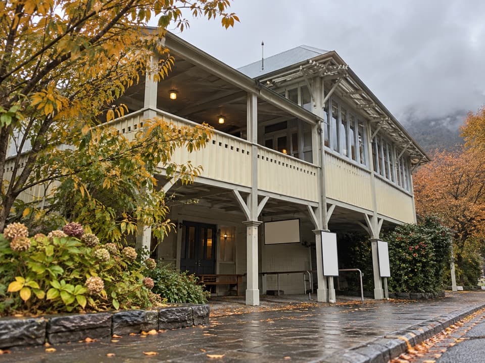 Sight · 0.4 km awayLakes District Museum & GalleryGold-rush streets and an 1875 bakery bring the town's past indoors.
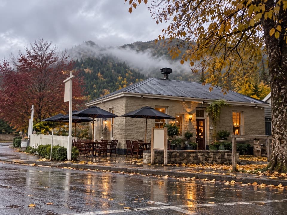 Restaurant · 0.4 km awayThe Fork and TapA 1874 pub for craft beer and a sunny garden meal.
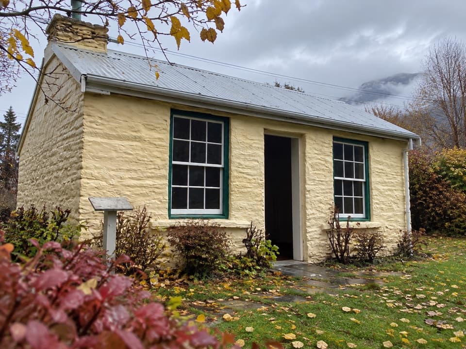 Sight · 0.5 km awayMary MacKillop CottageA gold-rush cottage with a close link to Mary MacKillop.
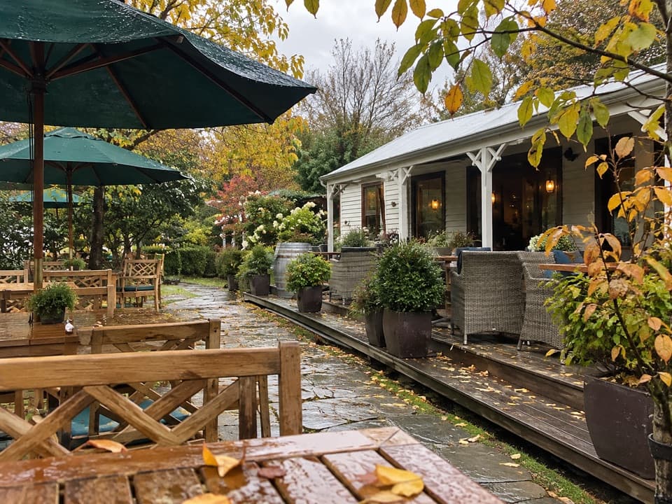 Restaurant · 0.5 km awayProvisions of ArrowtownA garden café in an Arrowtown miners’ cottage.
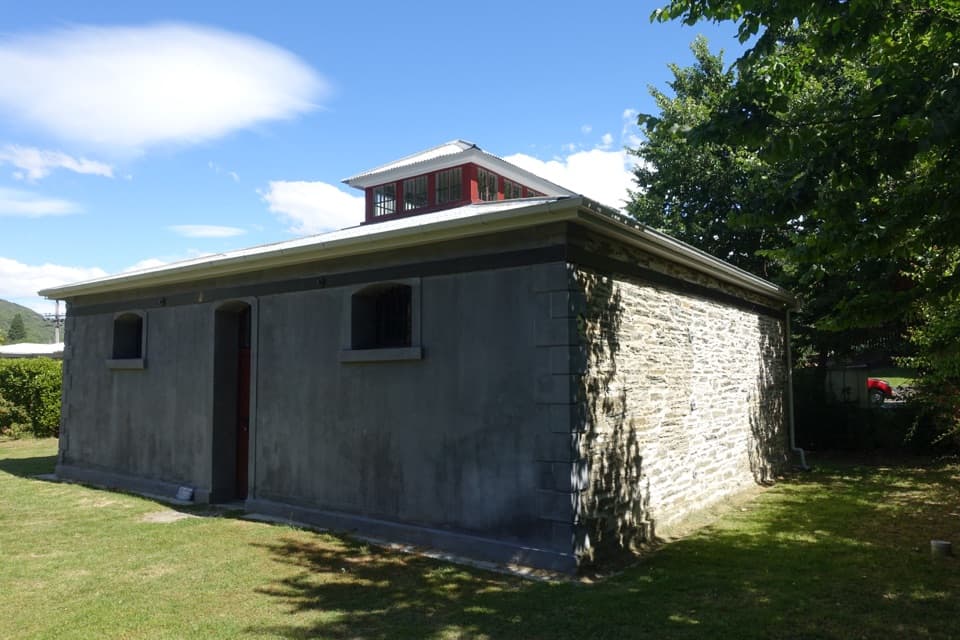 Sight · 0.6 km awayArrowtown GaolA 1876 gaol whose poor design helped write its escape story.
Parkwolf’s Queenstown-Lakes District ranking

The audio tour guide for the drive, plus offline maps, trails, and wildlife heatmaps for when the signal drops.





