Parking
Use Butler's Green in Arrowtown by the Bush Creek footbridge as the start. Dedicated trail parking was not confirmed.
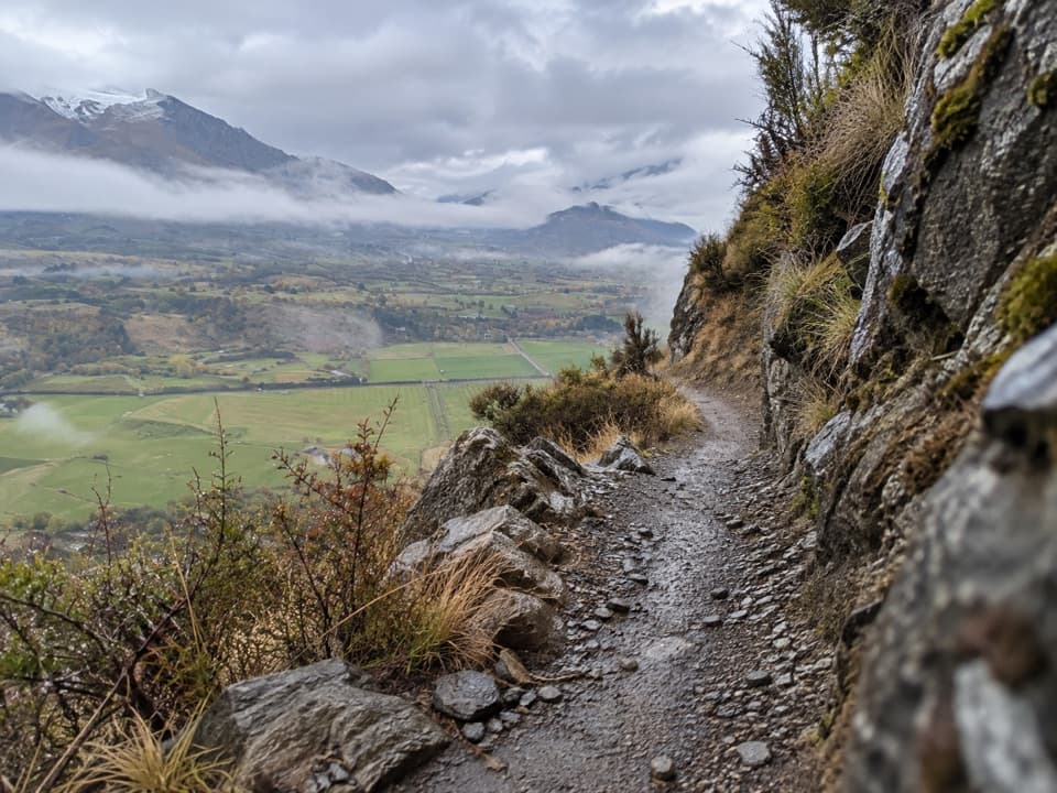
Queenstown-Lakes District, New Zealand, OT
Mining water race and remote valleys on a huge loop.
Overview
Map & elevation
Plan your hike

The highest, rockiest slopes around here are a summer buffet for grizzly bears.
Queenstown-Lakes District Tour Guide
Parkwolf is a GPS audio tour guide for Queenstown-Lakes District, New Zealand. As you drive, it chimes in with what’s ahead: hidden gems, upcoming stops, history, geology, and wildlife, right through your car’s speakers.
See the Queenstown-Lakes District audio tourRecorded for this trailhead
Arrowtown Chinese Settlement“You're coming up on Arrowtown's Chinese Settlement beside Bush Creek. Allow thirty minutes to an hour, and leave time to read the panels in English and Chinese.”
Plays as you drive up to this trailhead in the Parkwolf Queenstown-Lakes District Tour Guide.
More stories near here in the app
“Fantastic app with many points of information… It’s great to just turn on while you’re driving and it gives you an audio tour of the national Park. We love it!!!!”


Trail guide
Coronet Loop is the roughly 50 km backcountry circuit from Arrowtown around Coronet Peak and back. It climbs through Bush Creek, follows the old Coronet Face Water Race, crosses the Skippers and Deep Creek country, then returns past Eight Mile Creek and Macetown Road. The mapped line is 49.9 km and the operator describes four major climbs with more than 1,400 m of ascent. Plan around 16 hours on foot, a cautious estimate for the full circuit; the published four-to-six-hour time is for mountain bikers. This is a serious, remote hike for people comfortable with long days and rough terrain. The route is presented mainly for mountain biking, so confirm pedestrian access before you plan it.
The Arrowtown start is at Butler's Green by the Bush Creek footbridge. The climb begins quickly, crossing Bush Creek several times through beech forest before the trees thin into tussock valleys below Brow Peak. Walkers share at least this two-way section with cyclists, including downhill riders.
From Bush Creek Saddle, the route contours high above the Whakatipu Basin along the Coronet Face Water Race. Gold miners built the race in the 1860s to carry water from Coronet Peak to workings at Arthurs Point. Look for the old flume pipes and the site of Racemans Hut beside the line. This high traverse gives you the basin view, but the path is narrow and cut into steep ground.
The route then climbs into Skippers Canyon. Its mapped line uses steep, technical mountain-bike tracks, including Tradesman's and Pack Track and Sack; these are a demanding place to be on foot. Beyond Long Gully, the climb to Greengate Saddle is followed by a descent to Greengate Hut and another rise to Picnic Rock, a broad viewpoint above Deep Creek.
The descent into Deep Creek brings waterfalls, gorge walls and repeated creek crossings. Golden Terraces and Easter Island sit among the mining remains. Greengate Hut is marked as a picnic and camping spot, but its present condition and overnight access aren't confirmed. A natural creek near Picnic Rock is marked as a water source; treat it and don't count on seasonal flow.
The last stretch passes Eight Mile Hut and drops beside Eight Mile Creek before reaching Macetown Road and the Arrow River. Follow the marked narrow track on the river section: the route directions say it avoids several deep crossings. The route returns toward Arrowtown over a bridge and steep steps. Keep time and energy for this final section; the circuit still has rough ground and crossings after the main climbs are behind you.
Wildlife
 194 sightingsKeaMost seen around 5 PMSighting map
 18 sightingsKākāMost seen around 6 PMSighting map
 198 sightingsKererūMost seen around 10 AMSighting map
 53 sightingsWekaMost seen around 6 PMSighting map
 245 sightingsTūīMost seen around 8 AMSighting map
 98 sightingsBellbirdMost seen around 6 AMSighting map
Sighting maps show where each species has been reported across Queenstown-Lakes District. Wildlife moves, so no sighting is guaranteed.
Keep exploring
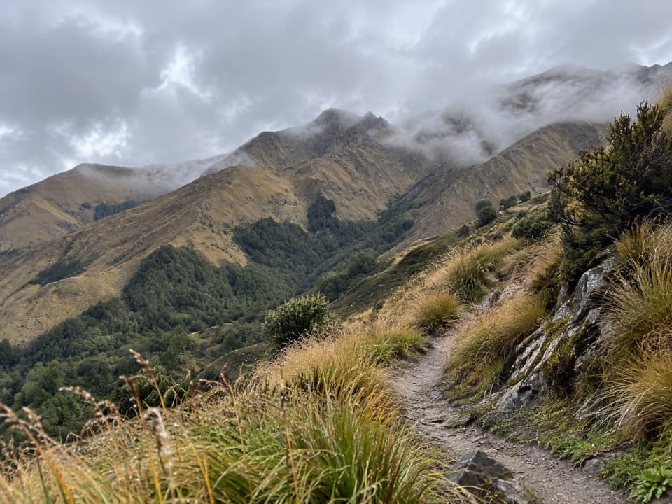 ChallengingBrow Peak Trail14.6 km · 6.5 hr · 0.1 km awayA full-day climb to an exposed alpine ridge above Arrowtown.
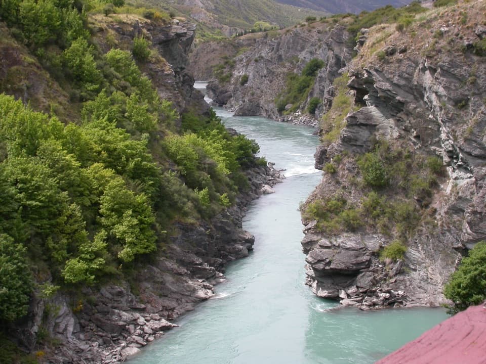 ModerateArrow River Bridges Trail13.3 km · 4 hr · 0.1 km awayFive river bridges lead to an 1880 gorge landmark.
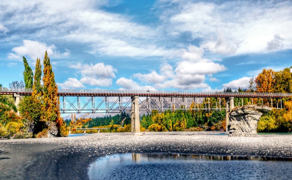 ModerateCountryside Trail12.8 km · 3 hr · 0.1 km awayA basin crossing, Slope Hill climb, and a Shotover bridge finish.
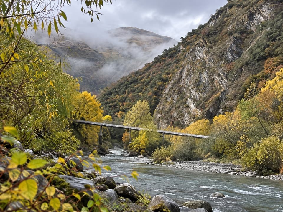 EasyArrow Gorge Track3 km · 1 hr · 0.1 km awayA short Arrow River gorge walk with a small waterfall.
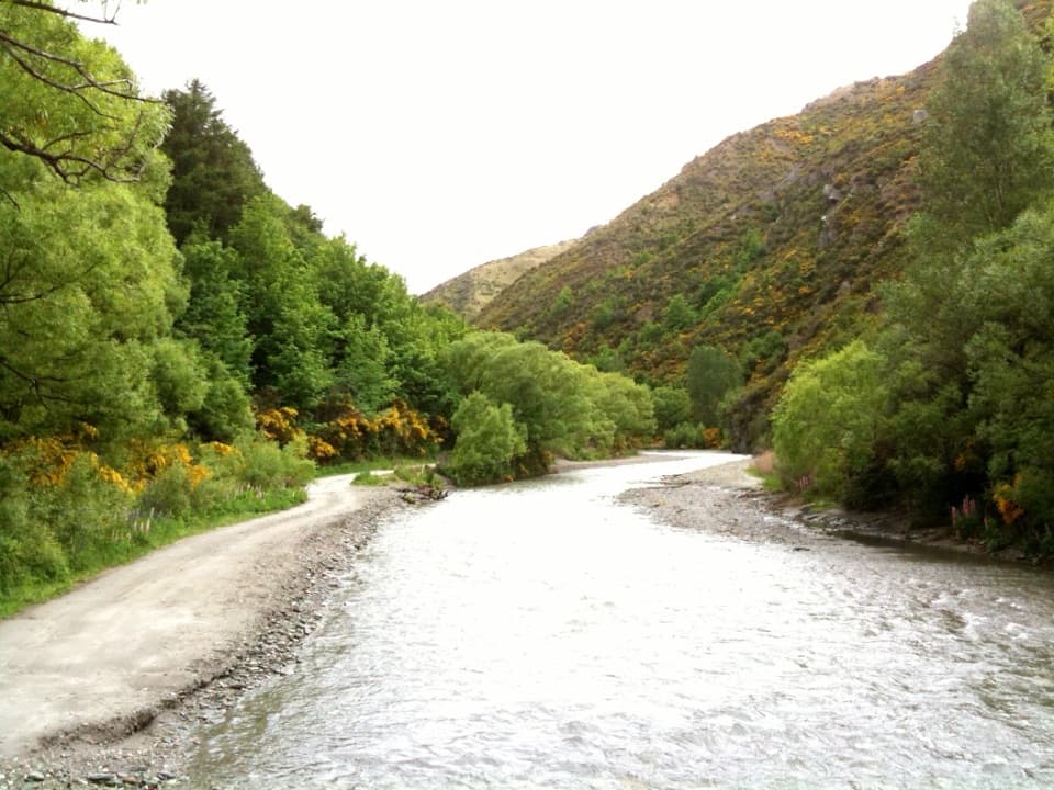 ChallengingMacetown Road Walk to Macetown Historic Reserve15 km · 3.5 hr · 0.1 km awayA long river road ends at an unusually intact gold-rush town.
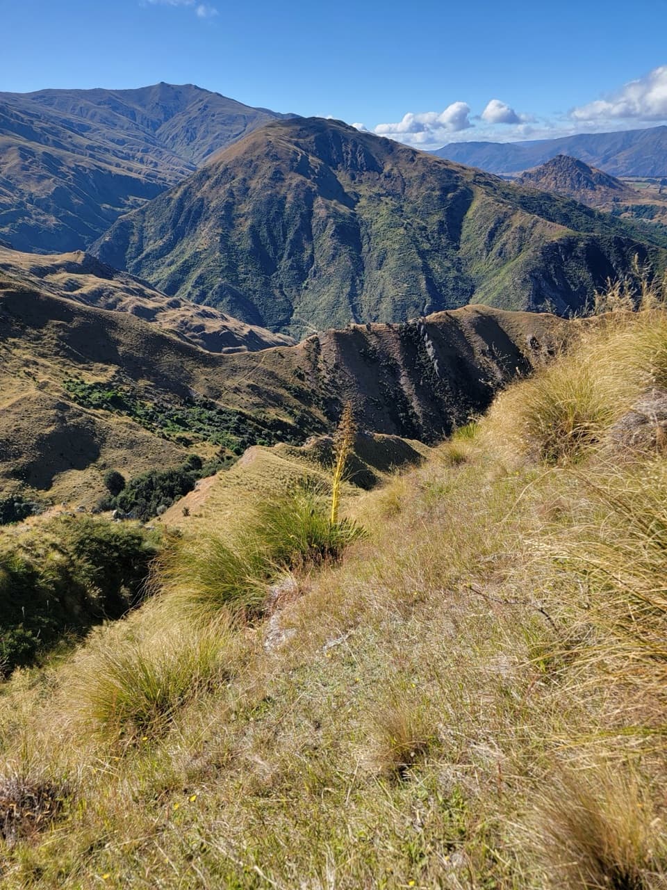 ChallengingHayes Creek Trail18.4 km · 5.5 hr · 0.1 km awayA full-day Arrowtown loop over Big Hill and down Hayes Creek.
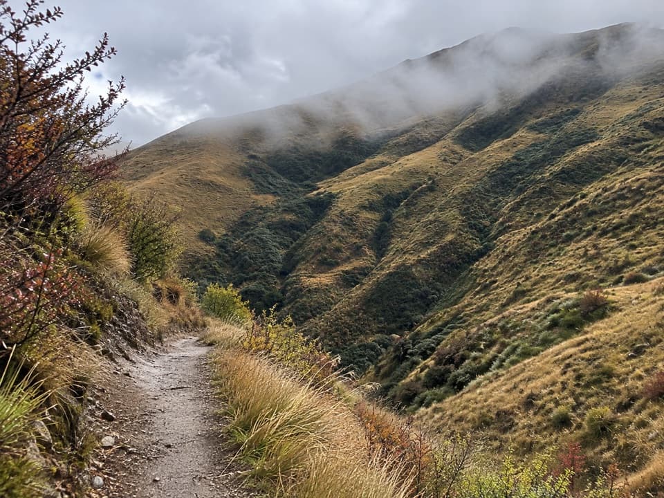 ChallengingBig Hill Trail15.5 km · 8 hr · 0.2 km awayA historic bridle climb to a high saddle above Arrowtown.
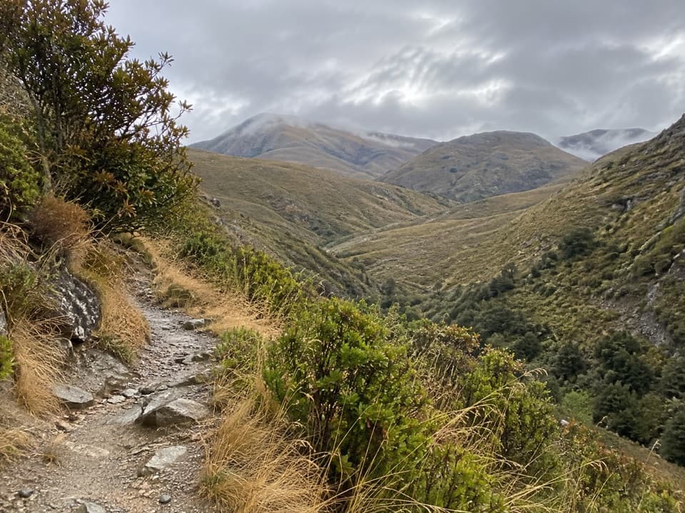 ModerateSawpit Gully Trail7.9 km · 3 hr · 0.2 km awayGold-mining traces and basin views on a varied hillside loop.
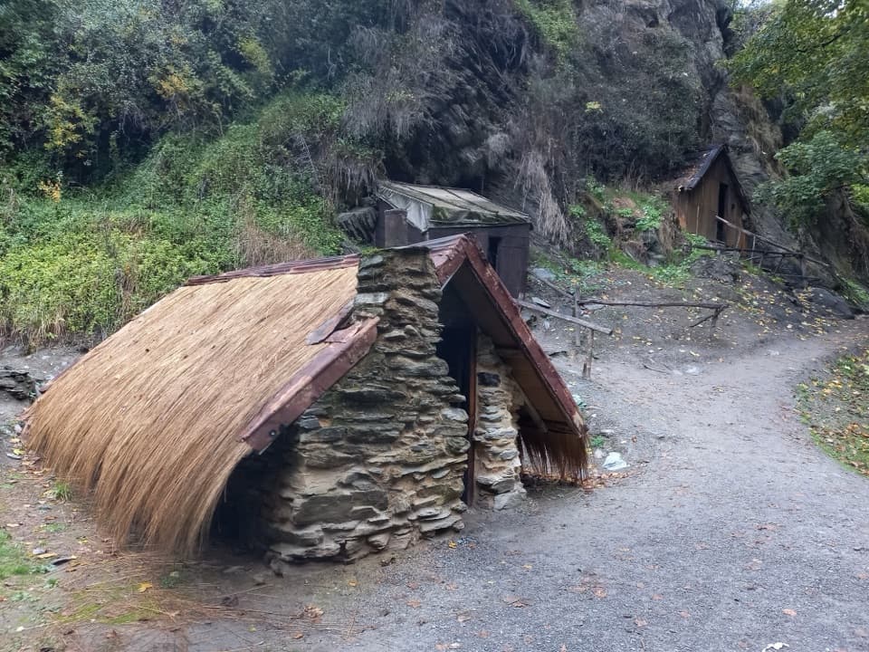 Sight · 0.1 km awayArrowtown Chinese SettlementA creekside heritage walk to a rare Chinese store.
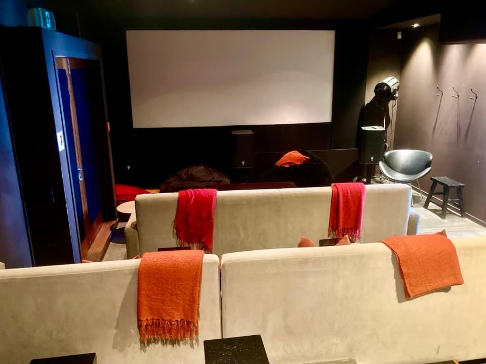 Sight · 0.1 km awayDorothy Browns Cinema, Bookstore and BarArrowtown’s boutique cinema adds a bookshop and bar to the night out.
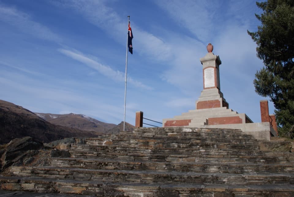 Sight · 0.2 km awayArrowtown and Districts War MemorialA quiet hilltop memorial with Arrowtown spread below.
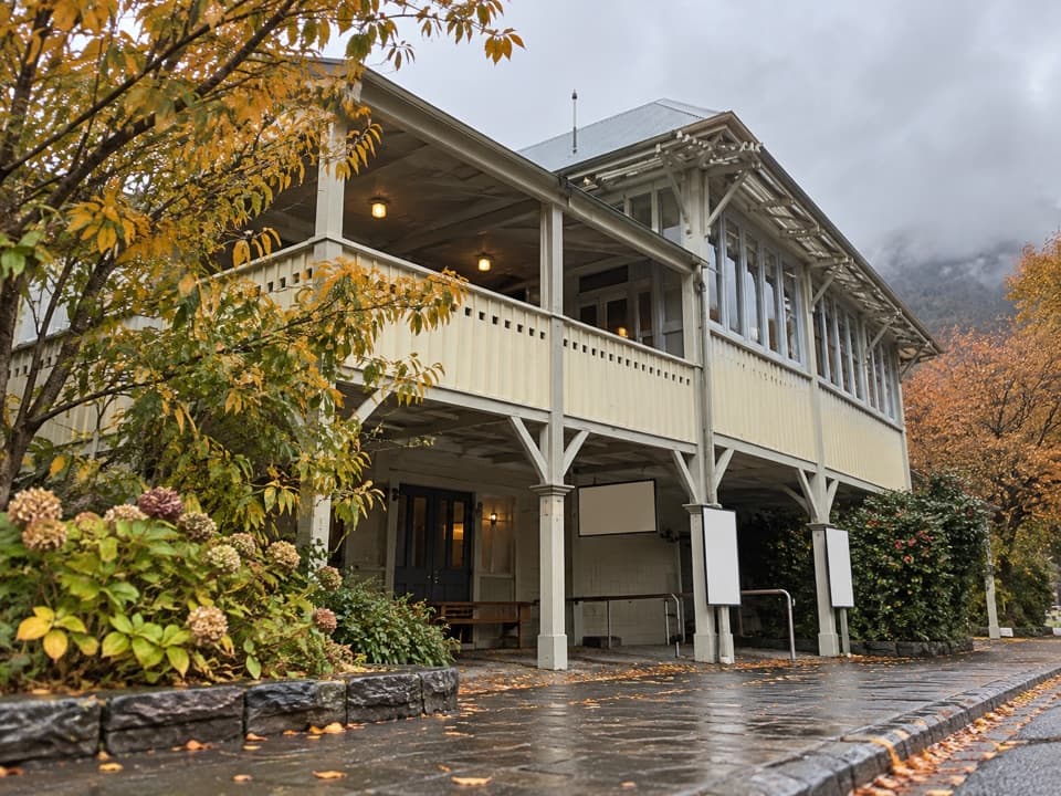 Sight · 0.3 km awayLakes District Museum & GalleryGold-rush streets and an 1875 bakery bring the town's past indoors.
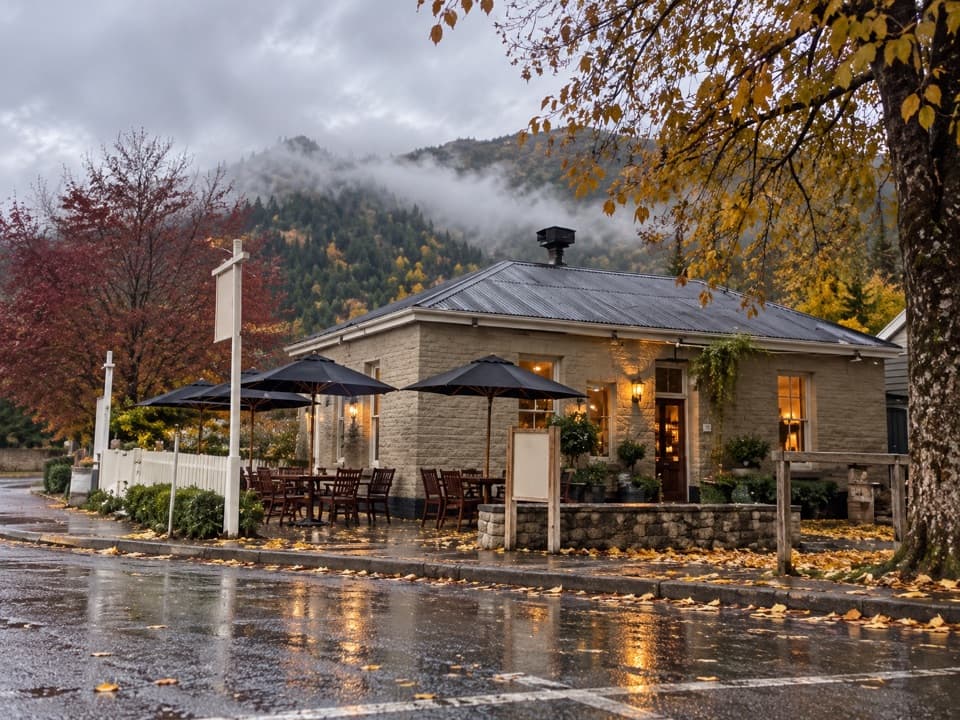 Restaurant · 0.3 km awayThe Fork and TapA 1874 pub for craft beer and a sunny garden meal.
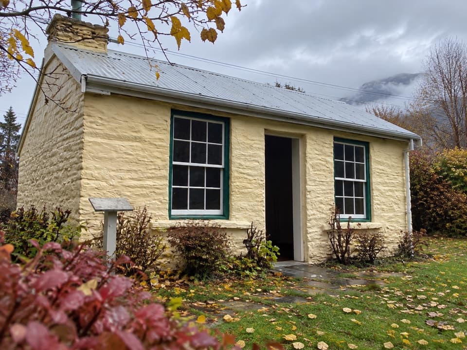 Sight · 0.4 km awayMary MacKillop CottageA gold-rush cottage with a close link to Mary MacKillop.
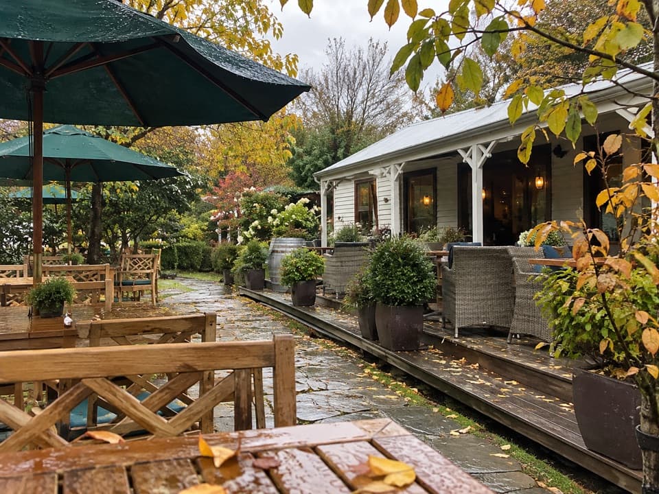 Restaurant · 0.4 km awayProvisions of ArrowtownA garden café in an Arrowtown miners’ cottage.
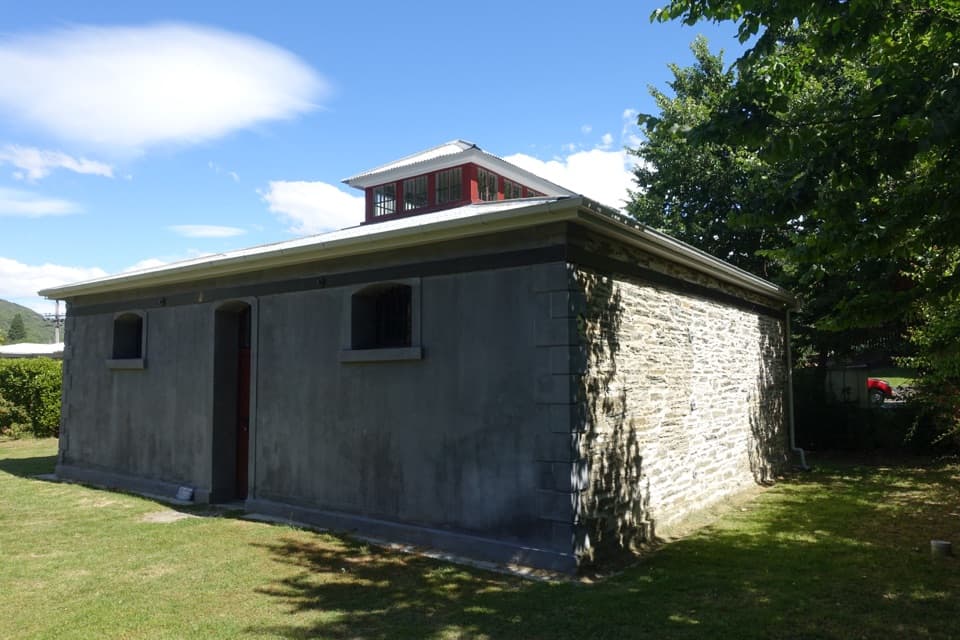 Sight · 0.5 km awayArrowtown GaolA 1876 gaol whose poor design helped write its escape story.
Parkwolf’s Queenstown-Lakes District ranking

The audio tour guide for the drive, plus offline maps, trails, and wildlife heatmaps for when the signal drops.





