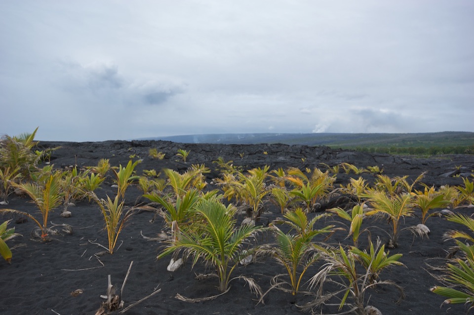
Parking
Use the central parking area at MacKenzie State Recreation Area, off Highway 137. Follow the park access lane to the short eastern coastal path.
#2 of 2 trails in Red Road
Red Road (Kapoho–Kalapana Road), Hawaii, HI
A short out-and-back on MacKenzie’s old Hawaiian coastal trail.
Overview
Map & elevation
Plan your hike

The highest, rockiest slopes around here are a summer buffet for grizzly bears.
Red Road Tour Guide
Parkwolf is a GPS audio tour guide for Red Road (Kapoho–Kalapana Road), Hawaii. As you drive, it chimes in with what’s ahead: hidden gems, upcoming stops, history, geology, and wildlife, right through your car’s speakers.
Recorded for this trailhead
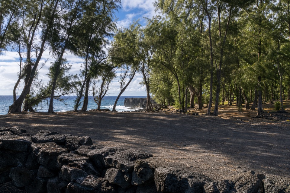
MacKenzie's Ironwood Grove“MacKenzie State Recreation Area is coming up, with an ironwood grove above the lava cliffs. I'd stop here for a picnic in the shade and a look at the sea.”
Plays as you drive up to this trailhead in the Parkwolf Red Road Tour Guide.
More stories near here in the app
“Fantastic app with many points of information… It’s great to just turn on while you’re driving and it gives you an audio tour of the national Park. We love it!!!!”


Trail guide
This is a short 0.38-mile out-and-back on the old Hawaiian coastal trail in MacKenzie State Recreation Area. From the central parking area, follow the mapped park access lane to the eastern footpath, then turn around at the coastal end and return the same way; allow about 20 minutes. Short route descriptions put a compact walk here at 0.3–0.4 mile and sometimes call it a loop, but no official line for that loop is published. This map sticks to the connected path we can verify and counts the return distance separately.
The path runs beneath ironwoods over broken ground with a soft layer of fallen needles, and the tread can be faint. Stay with the mapped line and turn back at its coastal end. A separate, roughly two-mile itinerary continues farther east over loose lava boulders; that rough, partly off-trail extension is not the short in-park walk mapped here.
The state describes this as a low-cliffed volcanic coast crossed by an old Hawaiian trail. Waves can break over the ledge and currents are strong, so keep well back from the edge. The park is open during daylight hours and has a picnic pavilion, tables and restrooms near the access, but no drinking water. Pets are prohibited. This is a good quick shoreline stop on Highway 137, not a long hike.
Wildlife
 57 sightingsGold Dust Day GeckoMost seen around 11 AMSighting map
 14 sightingsCoqui FrogMost seen around 9 PMSighting map
 13 sightingsShingle UrchinMost seen around 10 AMSighting map
 20 sightingsSally Lightfoot CrabMost seen around 6 AMSighting map
 21 sightingsGolden PloverMost seen around 8 AMSighting map
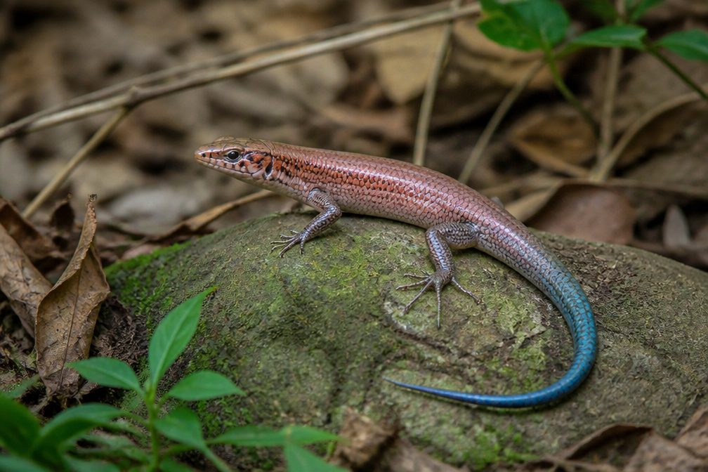 10 sightingsAzure-tailed SkinkMost seen around 11 AMSighting map
Sighting maps show where each species has been reported across Red Road. Wildlife moves, so no sighting is guaranteed.
Keep exploring
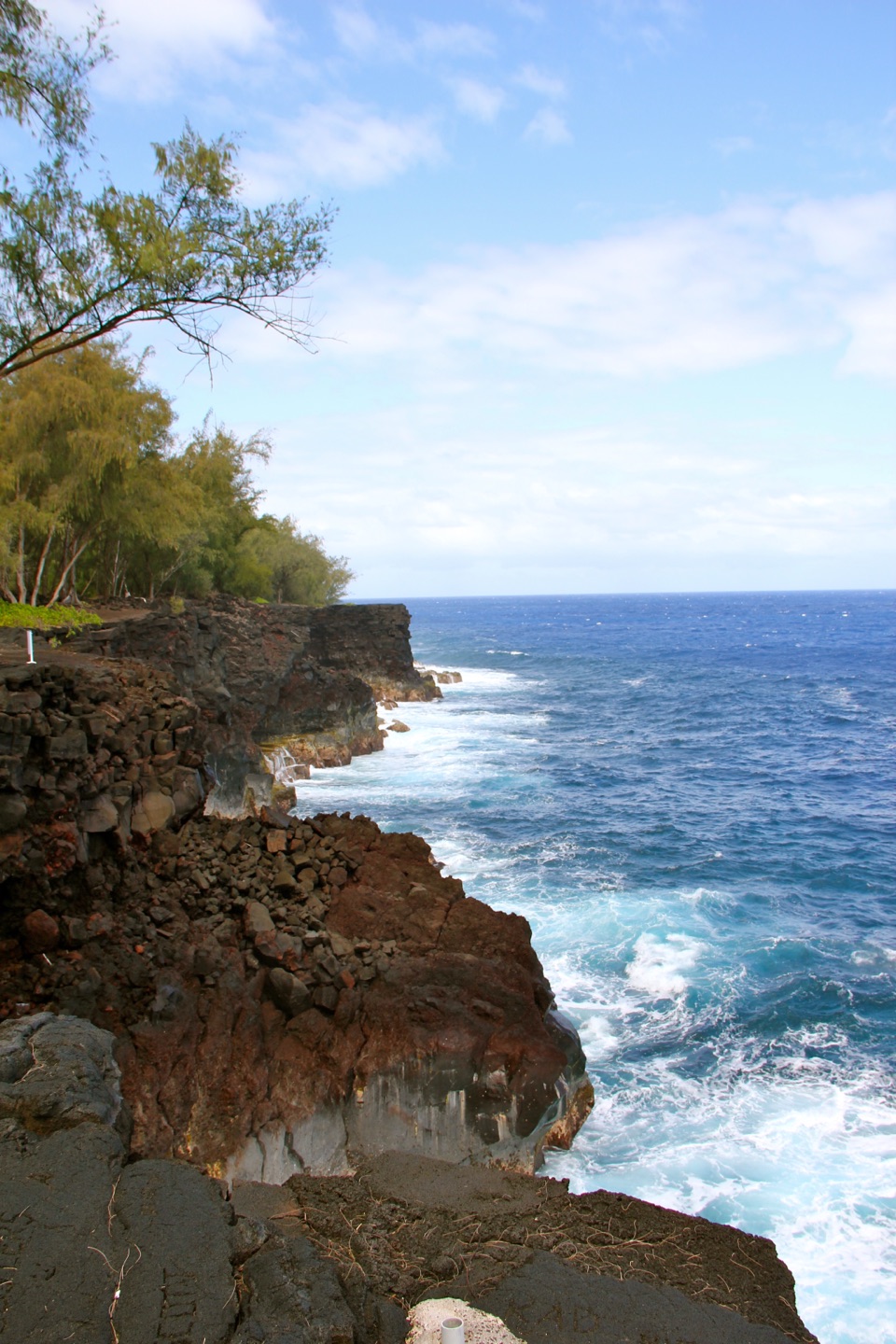 Sight · At the trailheadMacKenzie State Recreation AreaA shaded picnic stop above Puna’s wave-hit lava cliffs.
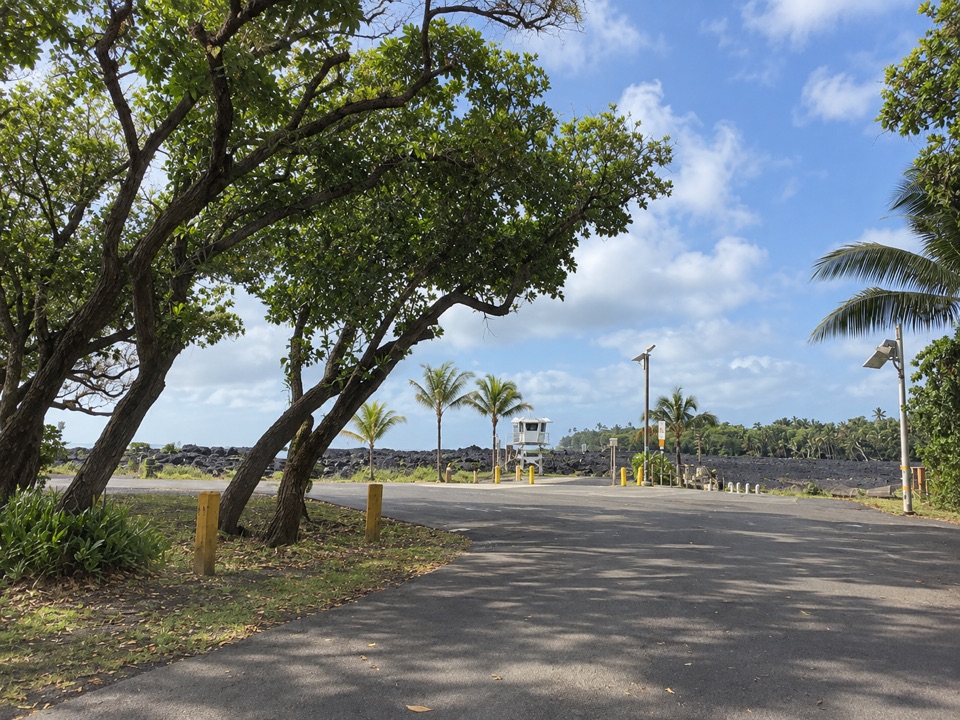 Beach · 1.9 mi awayPohoiki Black Sand BeachA young black-sand coast shaped by Kīlauea’s 2018 eruption.
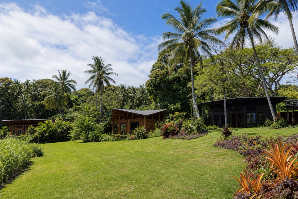 Lodging · 3.8 mi awayKalani Oceanside Retreat CenterCoffee, local treats, and an ocean-view pause on Red Road.
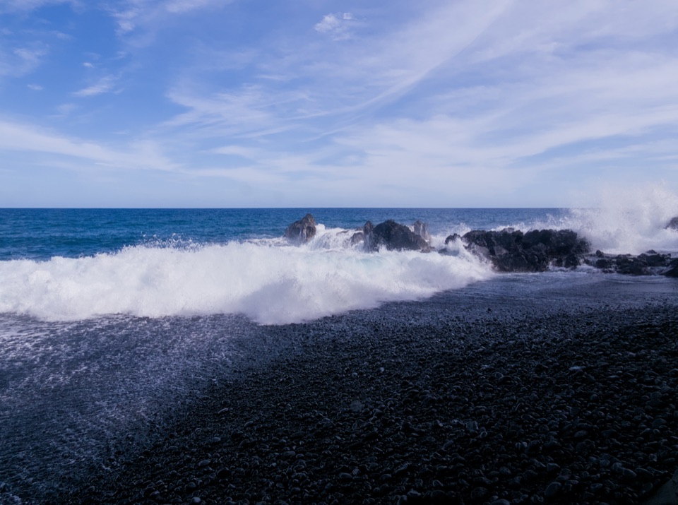 Beach · 5.3 mi awayKehena Black Sand BeachBlack sand from 1955 lava, with a short, steep descent.
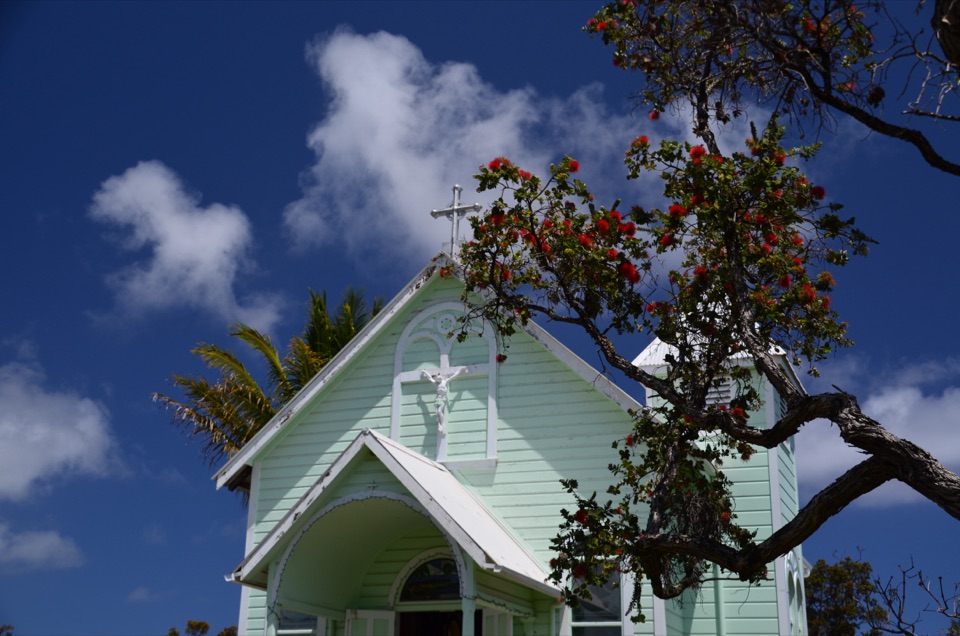 Sight · 7.9 mi awayStar of the Sea Painted ChurchA painted chapel saved before Kalapana’s 1990 lava flow.
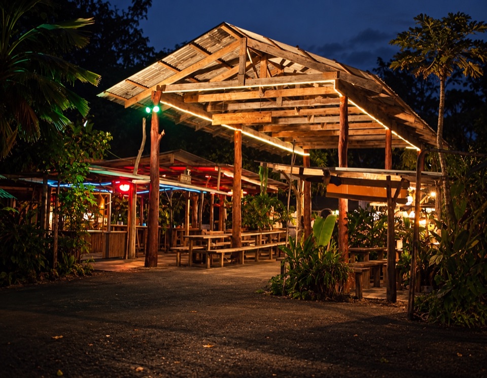 Food · 8.8 mi awayUncle Robert’s Awa Bar and Farmers MarketLive Hawaiian music, awa and food give this market its pull.
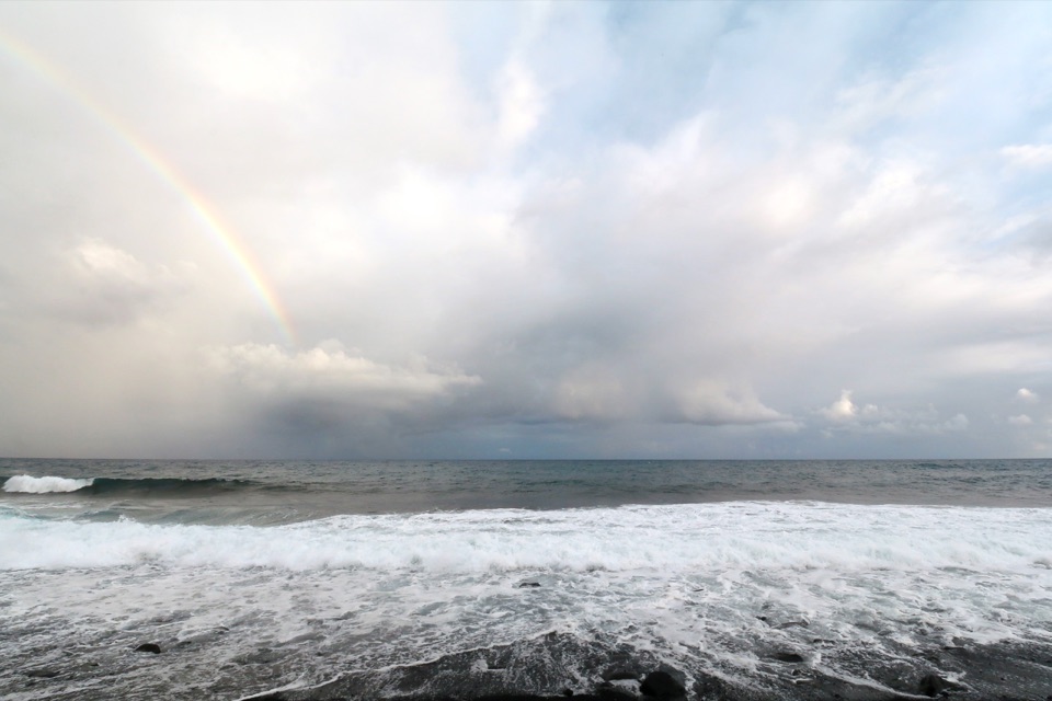 Beach · 8.9 mi awayKaimū Black Sand BeachA new black-sand coast still taking shape on the 1990 lava.
Parkwolf’s Red Road ranking

The audio tour guide for the drive, plus offline maps, trails, and wildlife heatmaps for when the signal drops.