
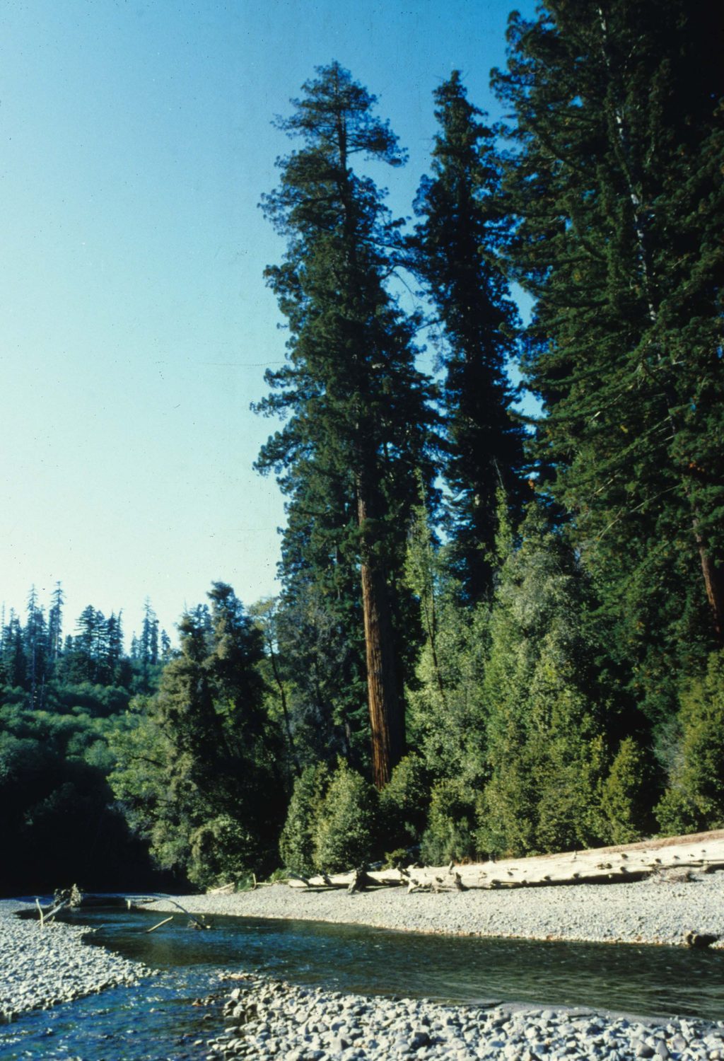
Place · 0.5 mi away
Challenging
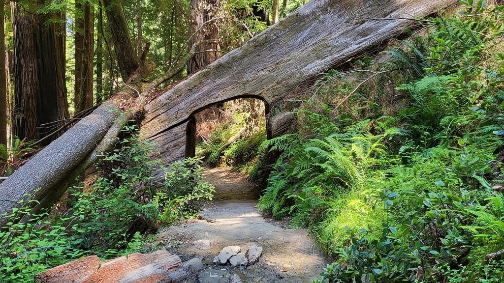
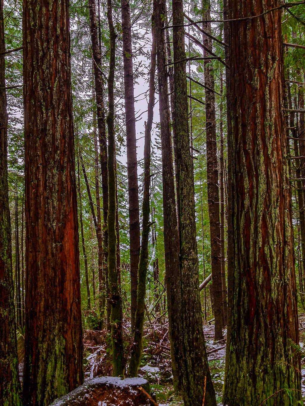
This is a remote, permit-limited lollipop loop to one of the park’s most impressive alluvial redwood groves. Plan on about 4.5 miles total: a steady 1.5‑mile descent, a roughly 1‑mile loop among the giants, then the same climb back out. Expect 800 feet of net elevation loss to the grove and the same regain on the return. Most hikers take 2–3 hours on trail. The grove doesn’t hold the current height record, but conditions here let many trees soar past 350 feet—this place feels like a natural cathedral.
A free reservation is required (limited to about 50 parties per day). Book online either well in advance or via day‑before half‑day slots. Your gate code and driving directions are emailed before your date. From the coast, you’ll drive Bald Hills Road to a locked gate, then about 6 miles down a narrow dirt/gravel road to a small trailhead lot. No RVs over 21 feet or vehicles with trailers. There’s no cell service; digital maps can be unreliable—follow the permit’s written directions. Facilities include vault toilets and a small shelter; there’s no potable water or concessions.
You’ll drop through upland redwoods to a flat floodplain along Redwood Creek where the loop winds among colossal trunks and mossy bigleaf maples. Short side paths reach the creek for sunny, quiet breaks. The historic Libbey (“Tall”) Tree is signed, though it no longer holds the height record. The world’s tallest known tree is nearby but off‑limits—and you won’t find it from this trail.
The descent feels easy; the return climb is the workout. The trail is well built with switchbacks but can be muddy after rain. Trekking poles help on the climb. Mosquitoes can be persistent in warmer months, especially near the gate—bring repellent. Most hikers report 2–3 hours on trail, but budget extra time if you like long photo stops in the grove.
Start early for maximum solitude and cooler temps on the climb. Summer afternoons in the grove are often warmer and sunnier than the foggy coast. After storms, expect slick sections. If you’re starting late, pack a small light for the final miles.
Bring ample water and snacks—there’s none at the trailhead. Download an offline map for the hike, but rely on the permit’s written driving directions. If permits are gone or you want something gentler with huge trees, try the Prairie Creek–Foothill Loop. Other easier-access options include Trillium Falls, Revelation Trail, or the Karl Knapp to Foothill Loop. A long, ambitious alternative is an all‑day, ~16‑mile round trip to the grove via Redwood Creek Trail when flows are low (requires two creek crossings and isn’t advisable in high water). Backcountry gravel‑bar camping along Redwood Creek is possible with a separate permit when conditions allow.
No pets on this trail (service animals excepted).
Small, permit-gated lot at the end of a 6-mile dirt/gravel access road off Bald Hills Road; vault toilets and a small shelter; no drinking water; no RVs over 21 ft or trailers.
Steep 800-ft climb out; no cell service and digital maps are unreliable—use the permit’s directions. No potable water at the trailhead. Can be muddy after rain; mosquitoes common in warm months. Pets not allowed.
Place · 0.5 mi away
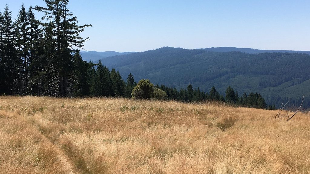
Place · 1.2 mi away
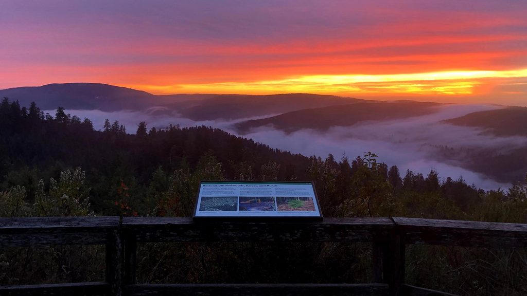
Place · 3.5 mi away
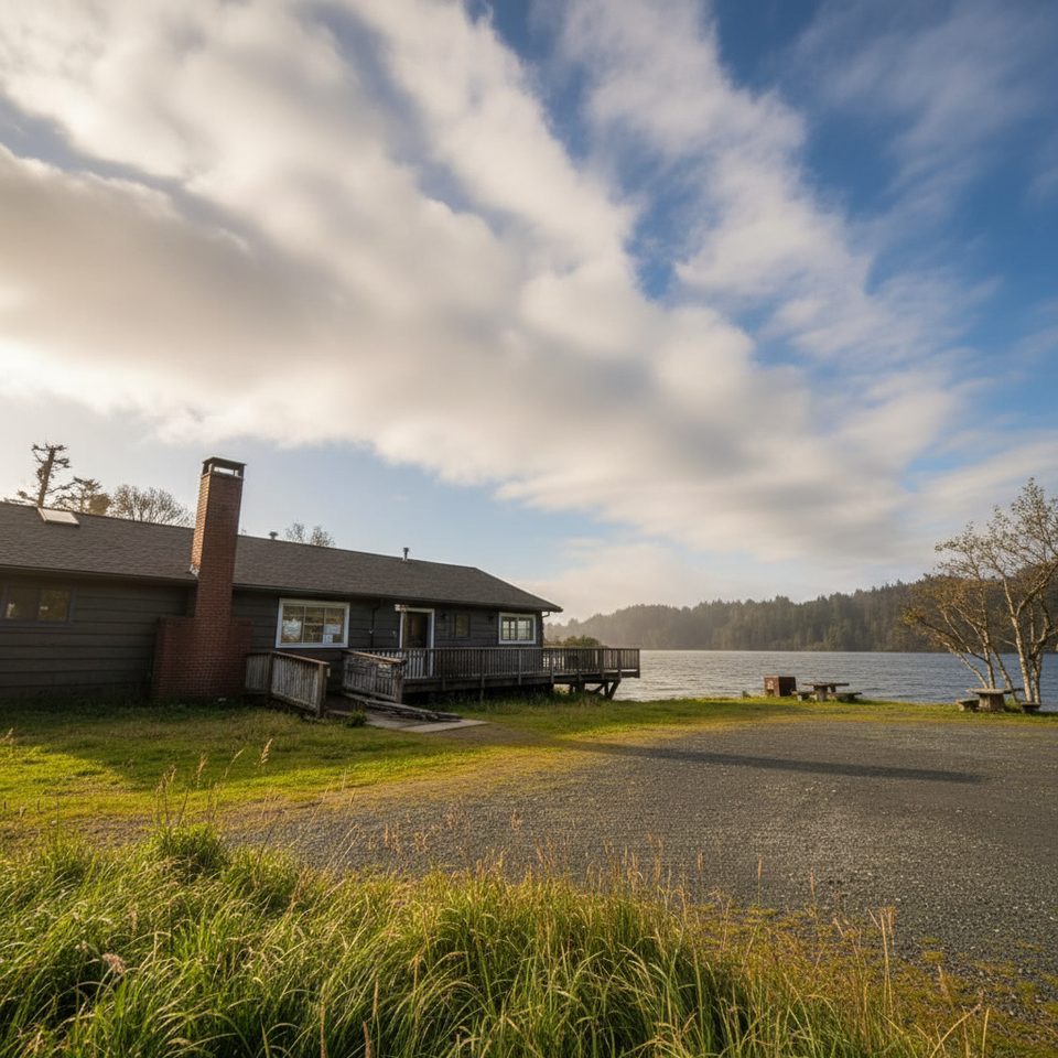
Place · 5 mi away
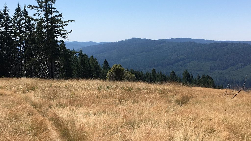
Challenging · 2.2 mi away
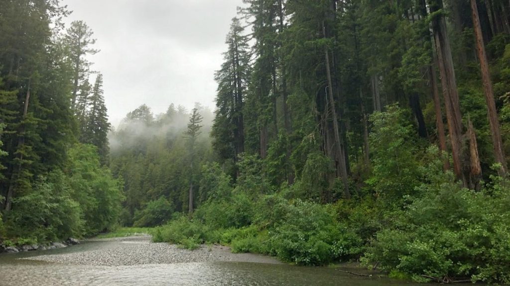
Moderate · 6.6 mi away
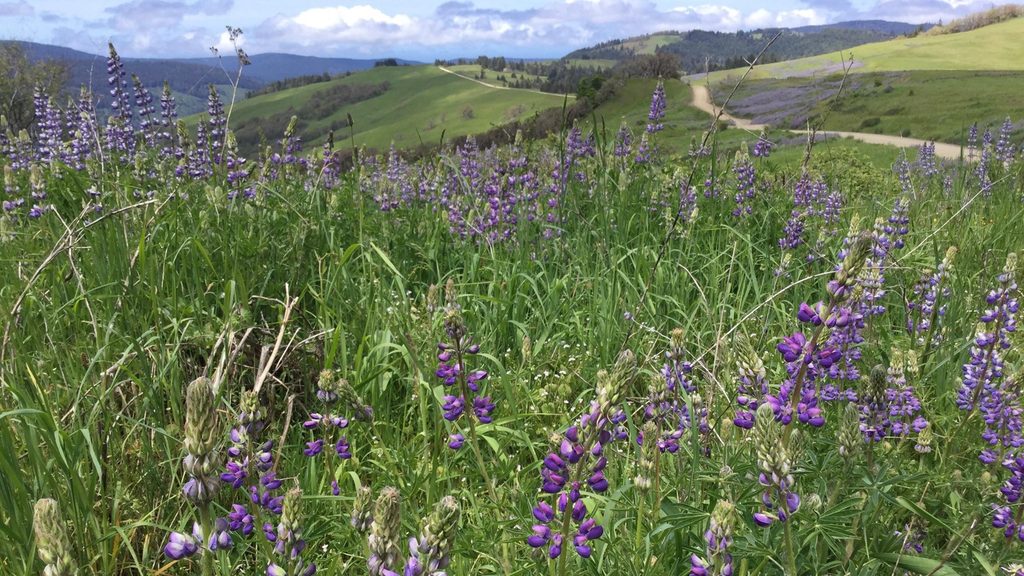
Moderate · 6.6 mi away
Easy · 6.7 mi away

Parkwolf Tour Guide
