Parking
Use Lyons Ranch Trailhead on Bald Hills Road, about 17 miles east of Highway 101. The gravel lot holds roughly a dozen cars. The road is unsuitable for RVs, campers and vehicles towing trailers.
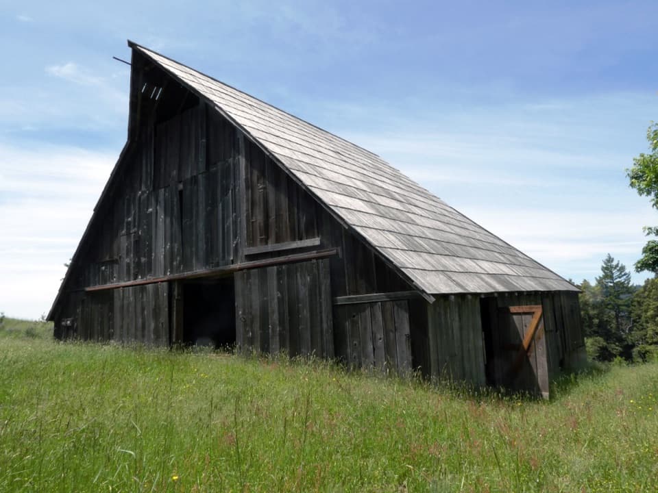
Redwood National Park, CA
Open prairie, oak groves and a historic barn at the far end.
Overview
Lyons Ranch Trail is a four-mile out-and-back from Bald Hills Road to the historic Lyons Ranch Home Place and back. Allow about 2½ hours, including time at the ranch. This moderate walk follows dirt and gravel roads, dropping roughly 400 feet to the buildings before climbing the same hill on the return. Choose it for open Bald Hills scenery and ranch history. If you want a shaded redwood forest walk, pick another trail.
 Parkwolf’s verdictIs this the right walk for you?
Map & elevation
Plan your hike

The highest, rockiest slopes around here are a summer buffet for grizzly bears.
Redwood Tour Guide
Parkwolf is a GPS audio tour guide for Redwood National Park. As you drive, it chimes in with what’s ahead: hidden gems, upcoming stops, history, geology, and wildlife, right through your car’s speakers.
See the Redwood audio tourRecorded for this trailhead
Lyons Ranch Home Place“You're nearing the Lyons Ranch trailhead, for a walk across open prairie to a redwood-plank barn and old orchard.”
Plays as you drive up to this trailhead in the Parkwolf Redwood Tour Guide.
More stories near here in the app
“Fantastic app with many points of information… It’s great to just turn on while you’re driving and it gives you an audio tour of the national Park. We love it!!!!”


Trail guide
The route starts high in open prairie, with occasional oak groves along the descent. At the weather-station fork, stay on the left-hand road toward the ranch. Views open over Long Ridge Sheep Shed, the Redwood Creek basin and Bridge Creek Ridge, where clearcuts sit beside the remaining redwood margins. The unmarked Ranch Road option to Long Ridge Sheep Shed is a separate detour, not part of the four-mile route; its added mileage is unclear.
The end of the road is a small cluster of the Home Place barn, bunkhouse and shed. A short path beside the barn leads down to a small cemetery with one grave marker. The dark barn's steep shingled roof is the distinctive subject at the end; include some of the surrounding grass to show its setting.
The buildings are part of a 5,660-acre historic district listed on the National Register in 2018. Ranching here ran from 1868 to 1959. The family's early Merino sheep operation earned Jonathan and Amelia Lyons a gold medal for wool at the 1901 Paris Exposition.
Chilula, Hupa and Yurok people used these hillsides for thousands of years, including deliberate burning that renewed oak, berry and grass resources. Amelia Lyons was Hupa, and the National Park Service describes the family as continuing Native practices alongside ranching. Hupa and Yurok building influences are also visible in the ranch structures.
Start at Lyons Ranch Trailhead on Bald Hills Road, about 17 miles east of Highway 101. The gravel lot holds roughly a dozen cars. There is no water or other facility at the trailhead, and pets are not allowed on park trails. The open hillside can be hot in summer; winter snow can make Bald Hills Road and the walk difficult. Cell coverage is very limited.
Wildlife
 256 sightingsBlack BearMost seen around 7 PMSighting map
 2,389 sightingsElkMost seen around 6 PMSighting map
 62 sightingsCalifornia CondorMost seen around 1 PMSighting map
 60 sightingsCalifornia Sea LionMost seen around 11 AMSighting map
 216 sightingsHarbor SealMost seen around 10 AMSighting map
 13 sightingsMountain LionMost seen around 7 PMSighting map
Sighting maps show where each species has been reported across Redwood. Wildlife moves, so no sighting is guaranteed.
Keep exploring
 ChallengingDolason Prairie Trail9 mi · 6 hr · 5 mi awayPrairie views and a historic barn lead down to a redwood grove.
 ChallengingTall Trees Trail3.7 mi · 4 hr · 6.6 mi awayTall redwoods reward the steep descent and the long climb back.ModerateEmerald Ridge and Tall Trees Loop4.3 mi · 4 hr · 6.6 mi awayA steep old-growth loop with a rough, low-water creek crossing.
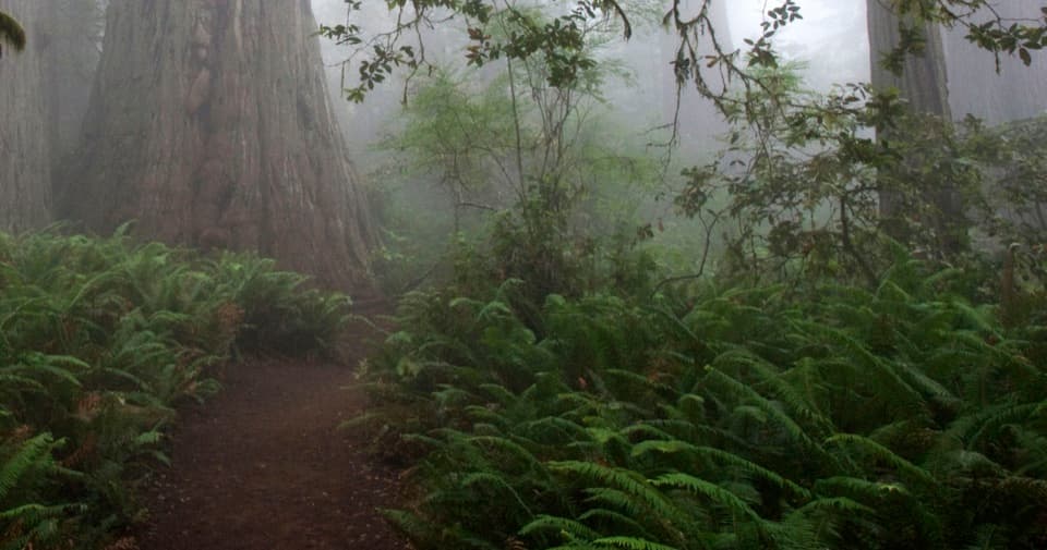 EasyLady Bird Johnson Grove Trail1.5 mi · 1 hr · 12.6 mi awaySee redwoods and a historic clearing on an easy 1.5 mile loop.
 ChallengingRedwood Creek Trail16 mi · 7.5 hr · 12.7 mi awayA long creek valley hike to Tall Trees Grove’s towering redwoods.
 ModerateRidge Loop7 mi · 4 hr · 12.8 mi awayA forested seven-mile loop with a few old-growth redwood groves.
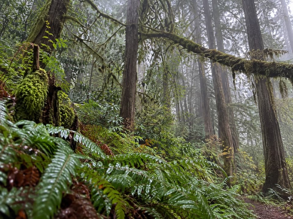 ChallengingMcArthur Creek Loop14 mi · 8 hr · 12.8 mi awayCreek crossings and ferny redwoods make this a full-day loop.
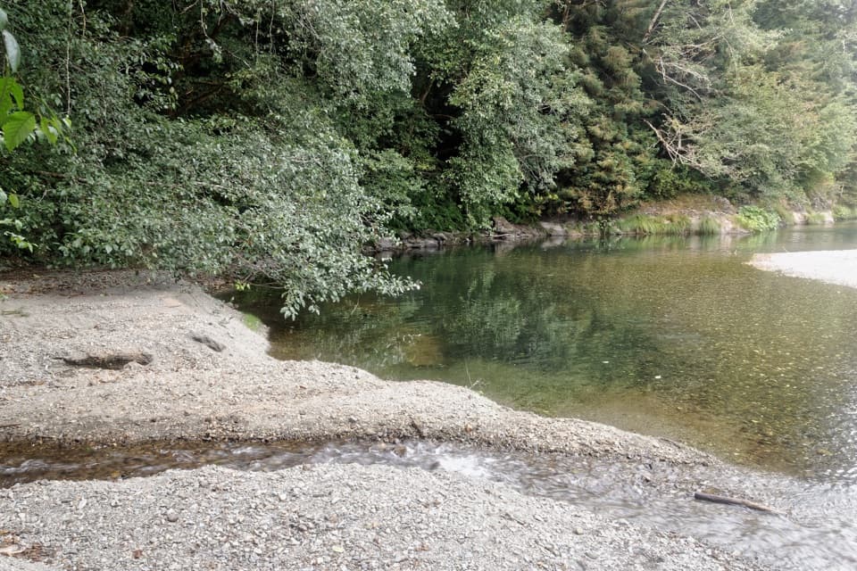 ChallengingElam Creek Loop20 mi · 10.5 hr · 13.1 mi awayA long ridge walk to Elam Camp and its streamside forest.Sight · 1.2 mi awayLyons Ranch Home PlaceRedwood barn and orchard, reached by a four-mile prairie walk.
 Picnic area · 5 mi awayDolason Prairie Picnic AreaA shaded roadside table with a view into Redwood Creek country.Sight · 7.5 mi awayTall Trees GroveA quiet creekside grove worth the long, steep hike.
 Campground · 7.9 mi away44 CampFour walk-in sites near the Tall Trees redwoods.
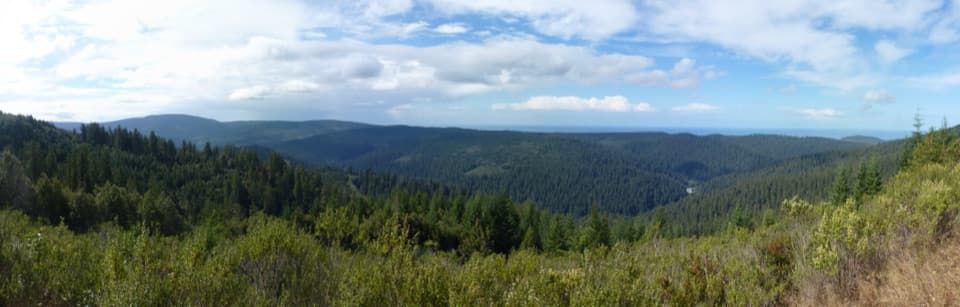 Sight · 9.1 mi awayRedwood Creek OverlookOld-growth and younger forest meet in a valley-to-ocean view.
Parkwolf’s Redwood ranking
The audio tour guide for the drive, plus offline maps, trails, and wildlife heatmaps for when the signal drops.




