Parking
Start at the Dolason Prairie Trailhead on Bald Hills Road, about 11 miles from the U.S. 101 turnoff. The large shaded dirt lot has a picnic table and vault toilet.

Redwood National Park, CA
Prairie views and a historic barn lead down to a redwood grove.
Overview
Dolason Prairie Trail is a strenuous 9-mile out-and-back from Bald Hills Road to Emerald Creek. It drops about 2,100 feet over 4.5 miles through open prairie, a ranch barn, fir forest and a short redwood grove, then climbs back the same way. Allow about six hours. Go for the big change in landscapes and the valley views, not a long stretch of giant redwoods.
 Parkwolf’s verdictIs this the hike for you?
Map & elevation
Plan your hike

The highest, rockiest slopes around here are a summer buffet for grizzly bears.
Redwood Tour Guide
Parkwolf is a GPS audio tour guide for Redwood National Park. As you drive, it chimes in with what’s ahead: hidden gems, upcoming stops, history, geology, and wildlife, right through your car’s speakers.
See the Redwood audio tourRecorded for this trailhead
Dolason Prairie Picnic Area“Dolason Prairie Picnic Area is coming up, a simple roadside break beside a hilltop meadow overlooking Redwood Creek country.”
Plays as you drive up to this trailhead in the Parkwolf Redwood Tour Guide.
More stories near here in the app
“Fantastic app with many points of information… It’s great to just turn on while you’re driving and it gives you an audio tour of the national Park. We love it!!!!”


Trail guide
Begin at the Dolason Prairie Trailhead on Bald Hills Road, about 11 miles from the U.S. 101 turnoff. The large, shaded dirt lot has a picnic table and vault toilet. Dogs aren't allowed on park trails.
The first meadow opens across Redwood Creek to hillsides still patterned by 1960s and 1970s clearcuts. Dark patches of old growth stand out among younger forest. Redwood National Park expanded in 1978 to protect most of the watershed after that logging. Red-tailed hawks circle above the prairie, and black-tailed deer browse the grass.
Dolason Barn is a 19th-century remnant of a sheep ranch that operated here for almost a century. The barn, open grassland and checkerboard hillsides put the area's history in one view. A trail sign credits Indigenous stewardship in shaping these prairies and explains how prescribed burning helps keep forest from closing them in.
The path crosses a burned patch and briefly follows a dirt logging road before descending through fir groves and steep switchbacks. A lower meadow reveals a redwood grove. Its lushest flat has larger trunks, ferns and redwood sorrel, but the best redwood stretch lasts only about a quarter mile. After that, the woods get drier, with tanoak, huckleberry and rhododendron.
At Emerald Creek the trail enters a small, ferny canyon; turn around there and retrace your steps. The climb back is a real part of the hike: the lower half is steadier, while the upper switchbacks are tougher.
Wildlife
 256 sightingsBlack BearMost seen around 7 PMSighting map
 2,389 sightingsElkMost seen around 6 PMSighting map
 62 sightingsCalifornia CondorMost seen around 1 PMSighting map
 60 sightingsCalifornia Sea LionMost seen around 11 AMSighting map
 216 sightingsHarbor SealMost seen around 10 AMSighting map
 13 sightingsMountain LionMost seen around 7 PMSighting map
Sighting maps show where each species has been reported across Redwood. Wildlife moves, so no sighting is guaranteed.
Keep exploring
 ChallengingTall Trees Trail3.7 mi · 4 hr · 2.2 mi awayTall redwoods reward the steep descent and the long climb back.ModerateEmerald Ridge and Tall Trees Loop4.3 mi · 4 hr · 2.2 mi awayA steep old-growth loop with a rough, low-water creek crossing.
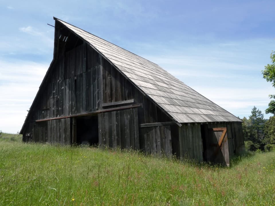 ModerateLyons Ranch Trail4 mi · 2.5 hr · 5 mi awayOpen prairie, oak groves and a historic barn at the far end.
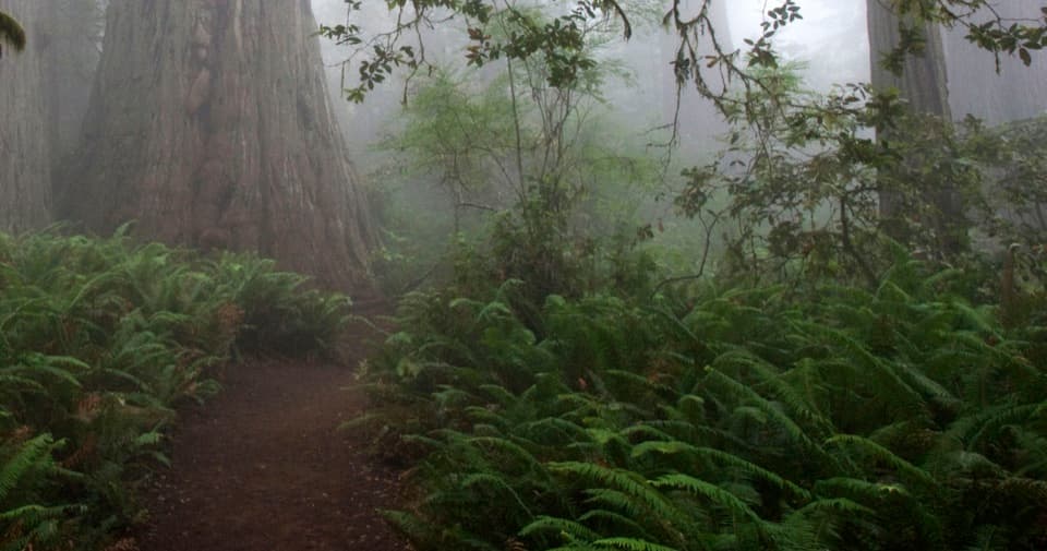 EasyLady Bird Johnson Grove Trail1.5 mi · 1 hr · 7.6 mi awaySee redwoods and a historic clearing on an easy 1.5 mile loop.
 ChallengingRedwood Creek Trail16 mi · 7.5 hr · 7.8 mi awayA long creek valley hike to Tall Trees Grove’s towering redwoods.
 ModerateRidge Loop7 mi · 4 hr · 7.9 mi awayA forested seven-mile loop with a few old-growth redwood groves.
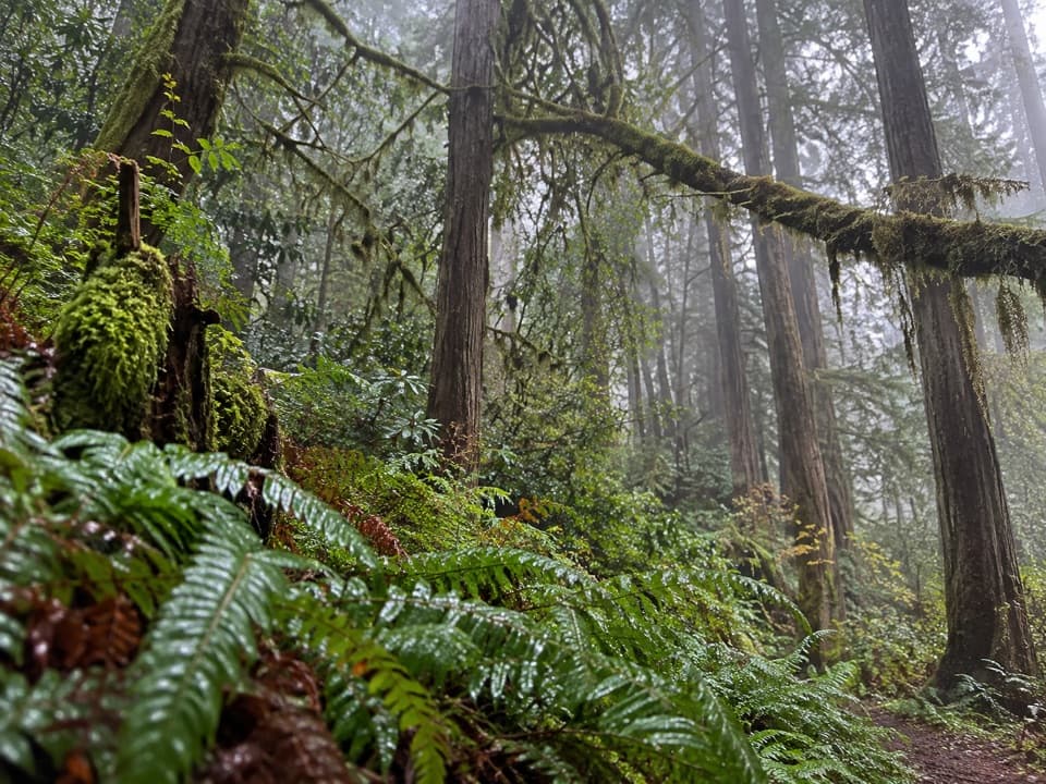 ChallengingMcArthur Creek Loop14 mi · 8 hr · 7.9 mi awayCreek crossings and ferny redwoods make this a full-day loop.
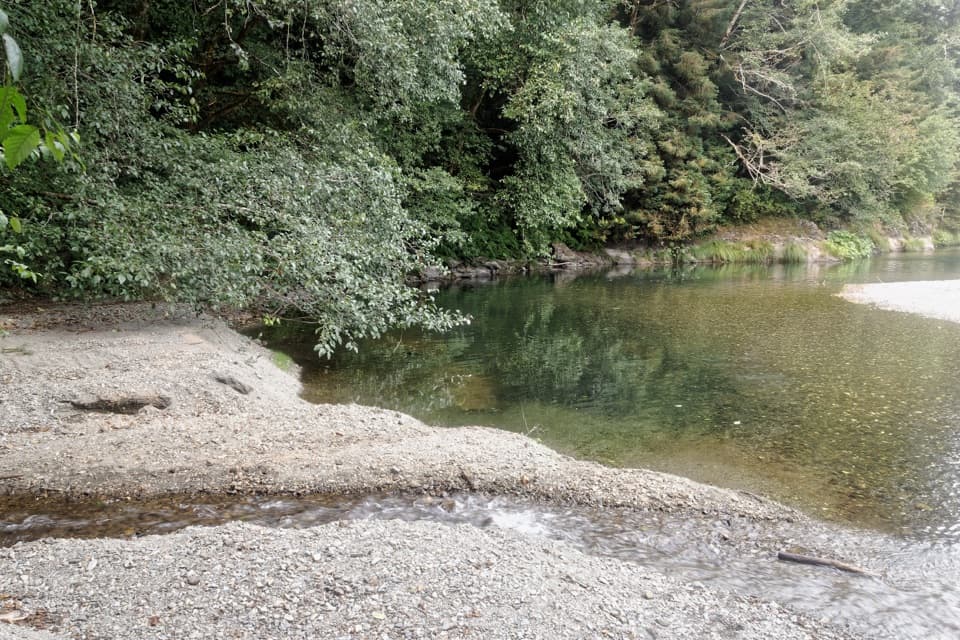 ChallengingElam Creek Loop20 mi · 10.5 hr · 8.1 mi awayA long ridge walk to Elam Camp and its streamside forest.
 Picnic area · At the trailheadDolason Prairie Picnic AreaA shaded roadside table with a view into Redwood Creek country.Sight · 3.3 mi awayTall Trees GroveA quiet creekside grove worth the long, steep hike.
 Campground · 3.3 mi away44 CampFour walk-in sites near the Tall Trees redwoods.
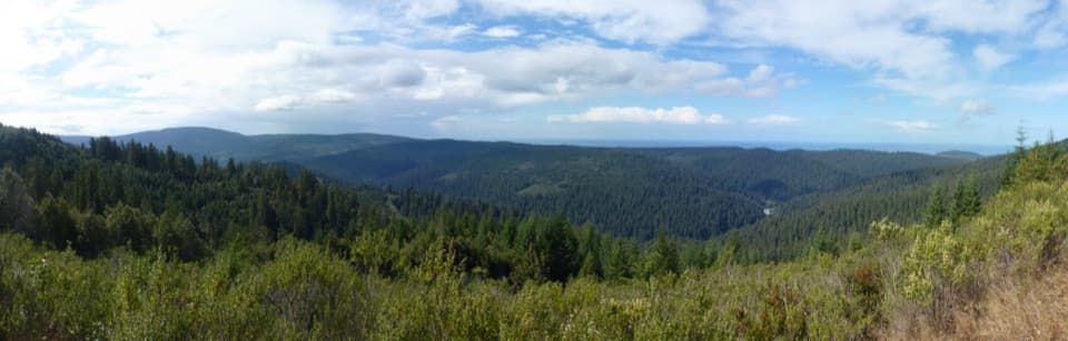 Sight · 4.2 mi awayRedwood Creek OverlookOld-growth and younger forest meet in a valley-to-ocean view.Sight · 5.1 mi awayLyons Ranch Home PlaceRedwood barn and orchard, reached by a four-mile prairie walk.
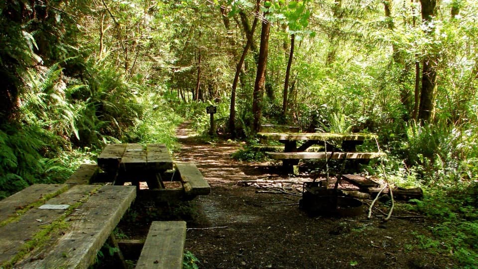 Campground · 5.7 mi awayElam Backcountry CampA small trail-side camp; creek levels shape the approach.
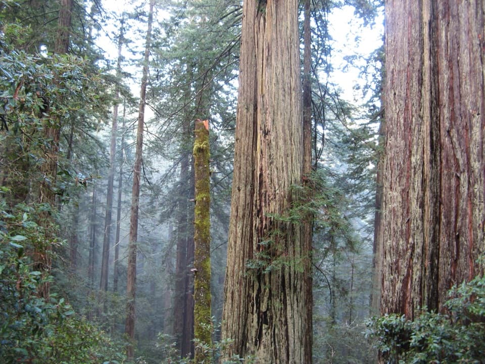 Sight · 7.6 mi awayLady Bird Johnson GroveAn easy loop through old-growth redwoods with a conservation story.
 Sight · 9 mi awayFreshwater LagoonA calm-water lagoon for kayaking, swimming, and fishing.
Parkwolf’s Redwood ranking
The audio tour guide for the drive, plus offline maps, trails, and wildlife heatmaps for when the signal drops.




