Parking
Start at the Redwood Creek Trailhead off Bald Hills Road, about 11 miles from the Highway 101 turnoff. This is the Redwood Creek access, not the separate Tall Trees Trailhead. The park says the lot accommodates RVs and trailers.

Redwood National Park, CA
A long creek valley hike to Tall Trees Grove’s towering redwoods.
Overview
Redwood Creek Trail is an out-and-back from the marked trailhead on Bald Hills Road, following the creek valley toward Tall Trees Grove and back. It’s about 16 miles round trip, using the park’s listed 8 miles to Tall Trees Grove Trail, and a full trip usually takes 7–8 hours. The route stays mostly in the valley, but the distance and creek crossings make it a serious day. I’d choose it for the long walk through Redwood Creek’s changing landscape. If your main goal is the old-growth trees, the separate Tall Trees Trail is shorter at 4.5 miles round trip, though it’s much steeper and needs a free reservation to reach its gated trailhead.
 Parkwolf’s verdictIs the distance worth it?
Map & elevation
Plan your hike

The highest, rockiest slopes around here are a summer buffet for grizzly bears.
Redwood Tour Guide
Parkwolf is a GPS audio tour guide for Redwood National Park. As you drive, it chimes in with what’s ahead: hidden gems, upcoming stops, history, geology, and wildlife, right through your car’s speakers.
See the Redwood audio tourRecorded for this trailhead
Redwood Creek Trailhead“You're nearing Redwood Creek Trailhead, the start of a valley walk toward Tall Trees Grove.”
Plays as you drive up to this trailhead in the Parkwolf Redwood Tour Guide.
More stories near here in the app
“Fantastic app with many points of information… It’s great to just turn on while you’re driving and it gives you an audio tour of the national Park. We love it!!!!”


Trail guide
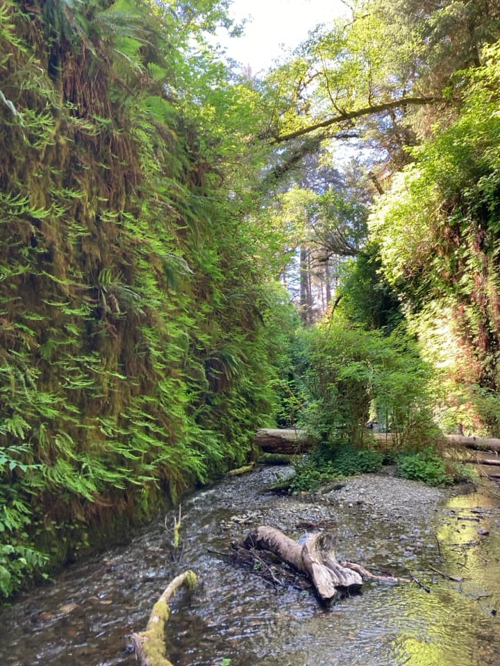
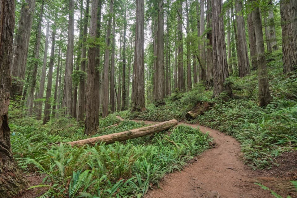
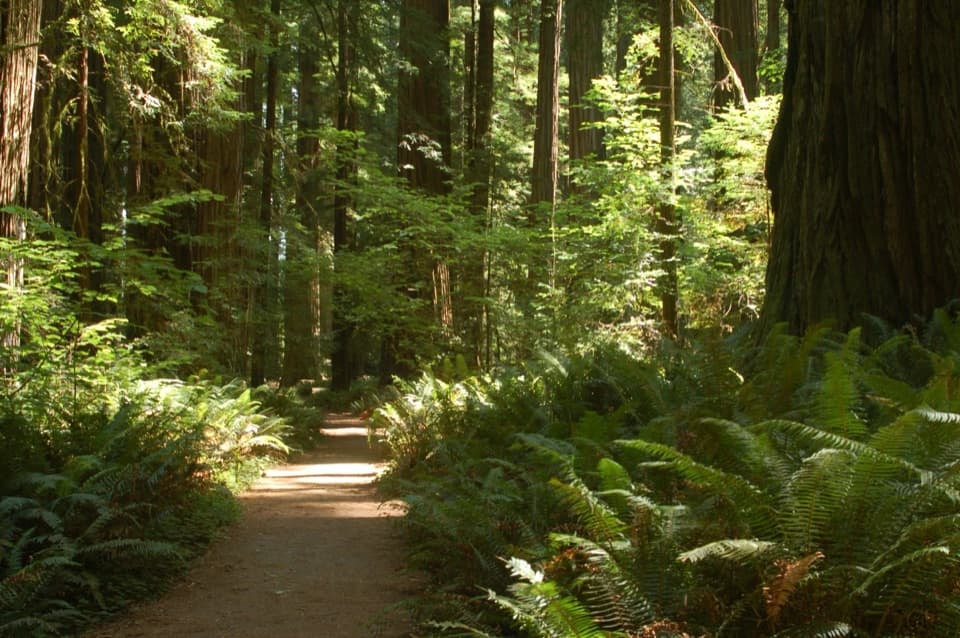
The first mile and a half follows a broad, gravelly flat through red alder, Douglas-fir, maple, mossy spruce and occasional old-growth redwoods. Openings in the brambles let you see the forested hillsides. You’ll often hear Redwood Creek before you get a clear look at it. A seasonal footbridge crosses the creek at about 1.7 miles; beyond it the path narrows and is less maintained.
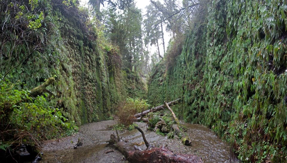
A side branch reaches Elam Camp around mile 2.6; stay on the main corridor for Tall Trees Grove. Farther on, the trail climbs a little above the river, drops into Bond Creek ravine, then climbs out of the fern-lined 44 Creek ravine. These crossings are part of what makes the route feel like a backcountry walk rather than a simple forest stroll.
Redwood Creek can run high and fast in winter, and the park removes the seasonal footbridges until summer. Check with park staff about current crossing conditions before committing to the full out-and-back.
This valley’s story includes both old growth and logging. Large-scale timber harvesting and road building began on the surrounding slopes in the early 1950s, causing erosion and landslides. A 1964 storm sent about 20 feet of sediment into the creek channel near its headwaters. That sediment has been moving downstream slowly as the watershed recovers.
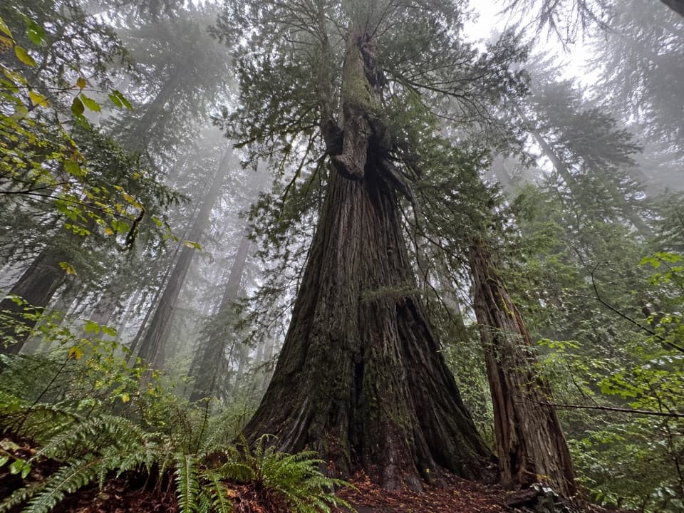
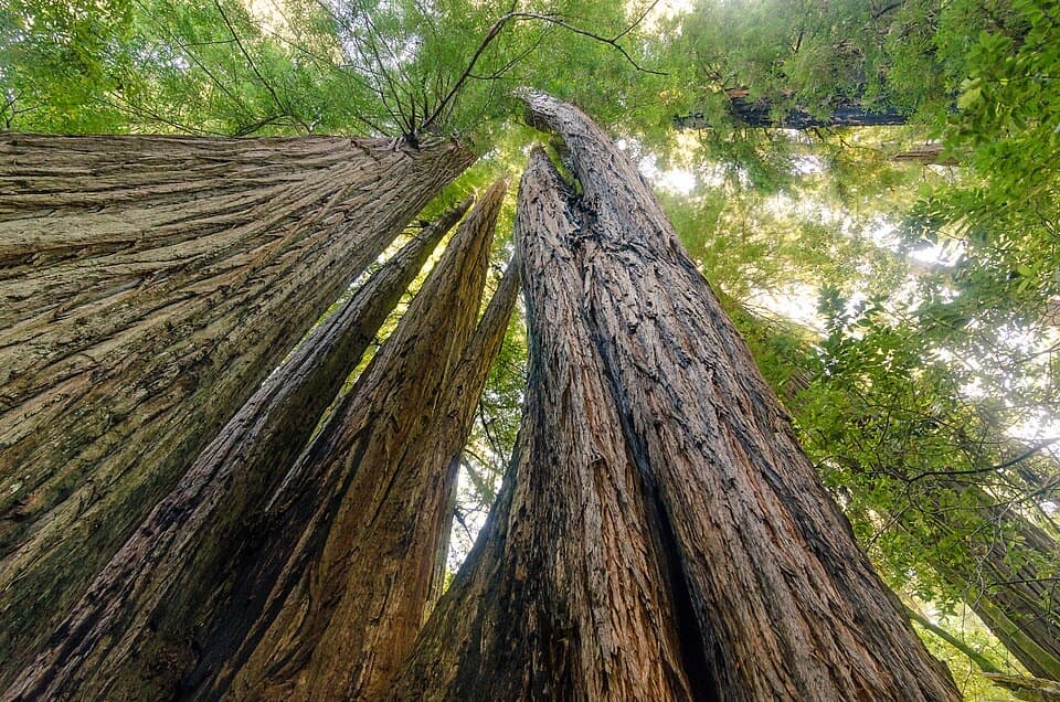
The trail reaches the Tall Trees Grove area at its southern end, where redwoods rise above 350 feet. The famed Libby Tree once held the height record; after its top died back in 1994, it fell far down the rankings. The separate Tall Trees Trail offers a shorter 4.5-mile round trip to the grove, but it climbs and descends about 1,600 feet and requires a free reservation for the gated access road. Dogs aren’t allowed on park trails. If you camp along Redwood Creek, get the required backcountry permit.
Wildlife
 256 sightingsBlack BearMost seen around 7 PMSighting map
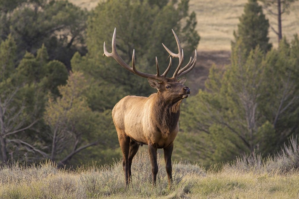 2,389 sightingsElkMost seen around 6 PMSighting map
 62 sightingsCalifornia CondorMost seen around 1 PMSighting map
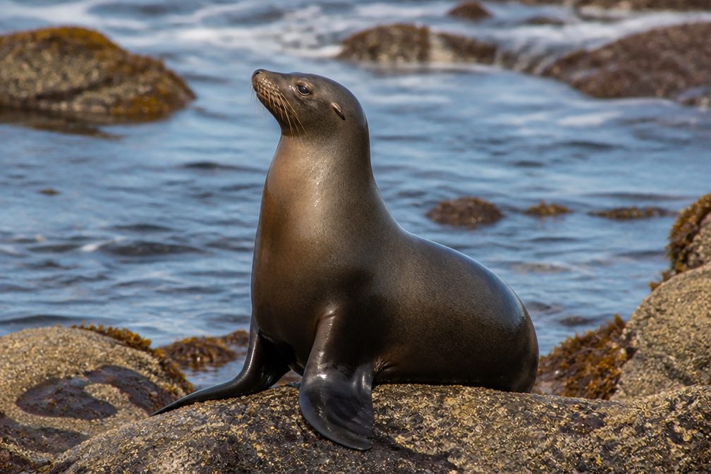 60 sightingsCalifornia Sea LionMost seen around 11 AMSighting map
 216 sightingsHarbor SealMost seen around 10 AMSighting map
 13 sightingsMountain LionMost seen around 7 PMSighting map
Sighting maps show where each species has been reported across Redwood. Wildlife moves, so no sighting is guaranteed.
Keep exploring
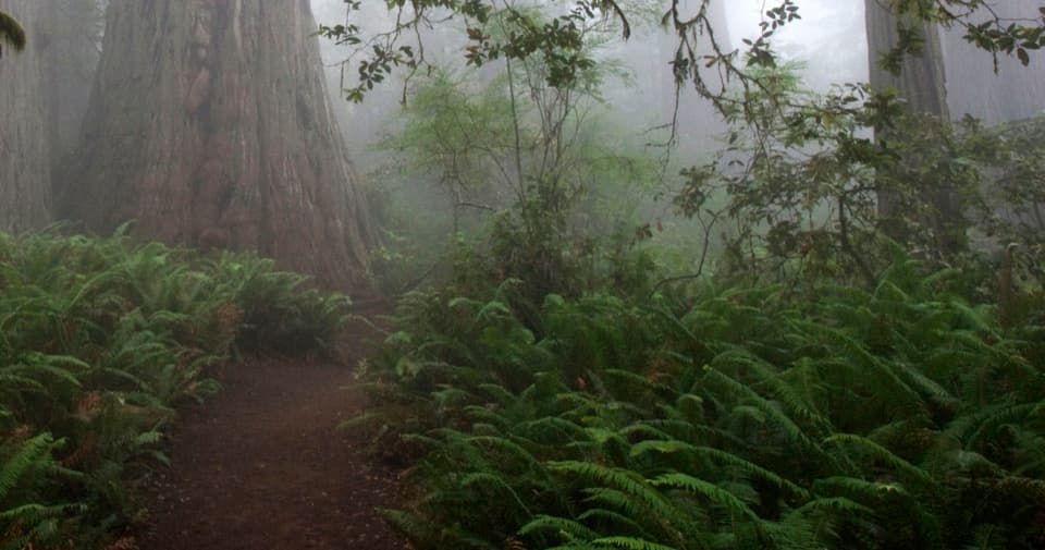 EasyLady Bird Johnson Grove Trail1.5 mi · 1 hr · 0.9 mi awaySee redwoods and a historic clearing on an easy 1.5 mile loop.
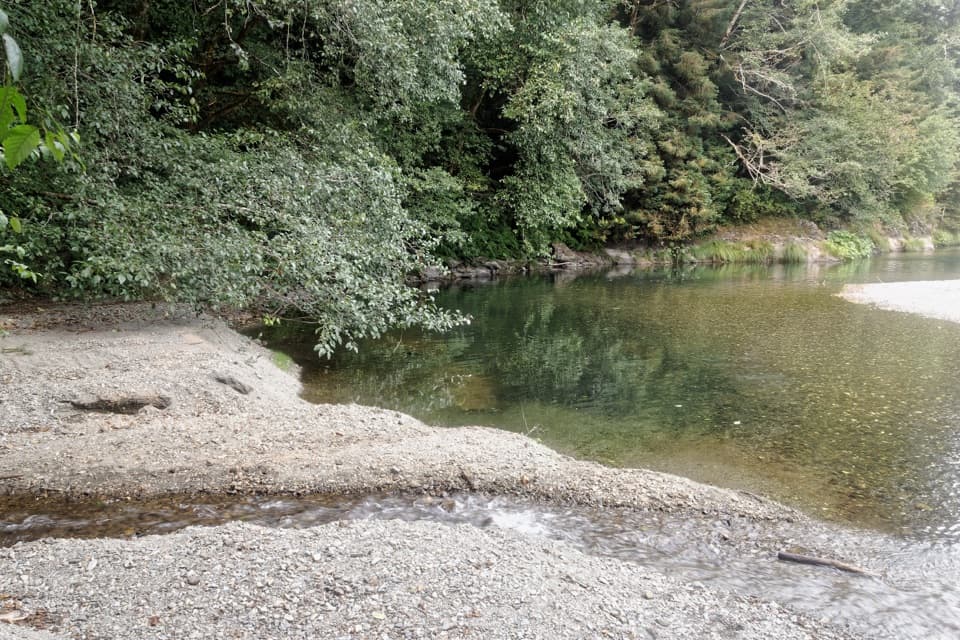 ChallengingElam Creek Loop20 mi · 10.5 hr · 0.9 mi awayA long ridge walk to Elam Camp and its streamside forest.
 ModerateCoastal Trail: Skunk Cabbage Section5.3 mi · 3.5 hr · 1.4 mi awayA creekside redwood climb opens onto grassy coastal bluffs.
 ModerateRidge Loop7 mi · 4 hr · 1.4 mi awayA forested seven-mile loop with a few old-growth redwood groves.
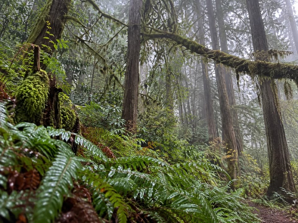 ChallengingMcArthur Creek Loop14 mi · 8 hr · 1.4 mi awayCreek crossings and ferny redwoods make this a full-day loop.
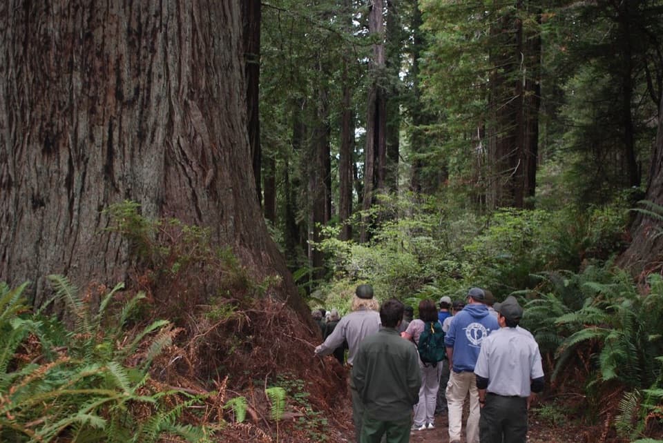 ChallengingBerry Glen Trail7 mi · 4.5 hr · 1.8 mi awayA steep redwood climb to Lady Bird Johnson Grove.
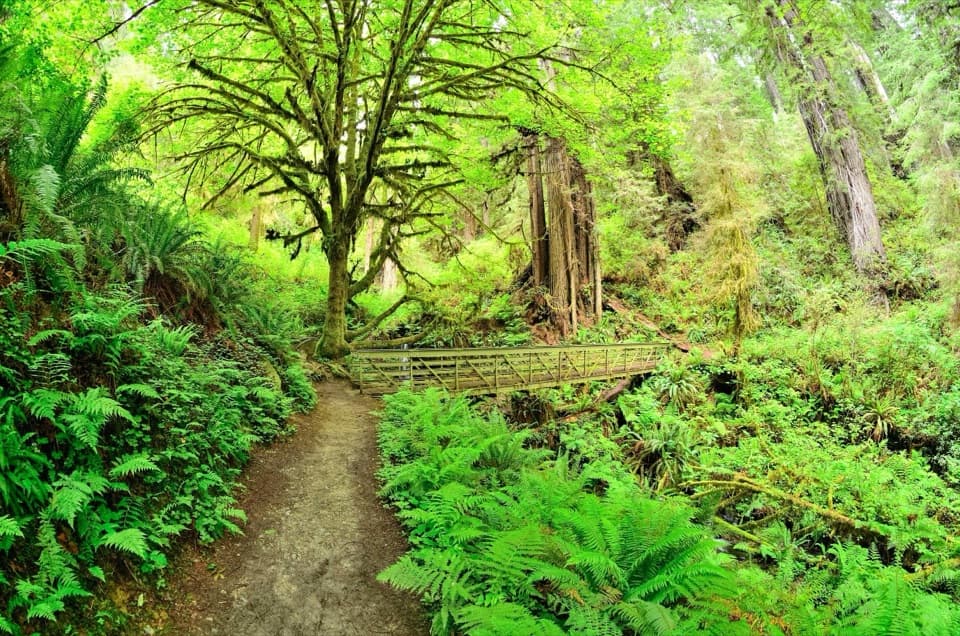 EasyTrillium Falls Trail2.7 mi · 1.8 hr · 1.8 mi awayThe redwoods make this loop; the waterfall is a bonus.
 EasyDavison Trail3 mi · 1.8 hr · 1.8 mi awayA gentle gravel road puts the logging history in plain view.
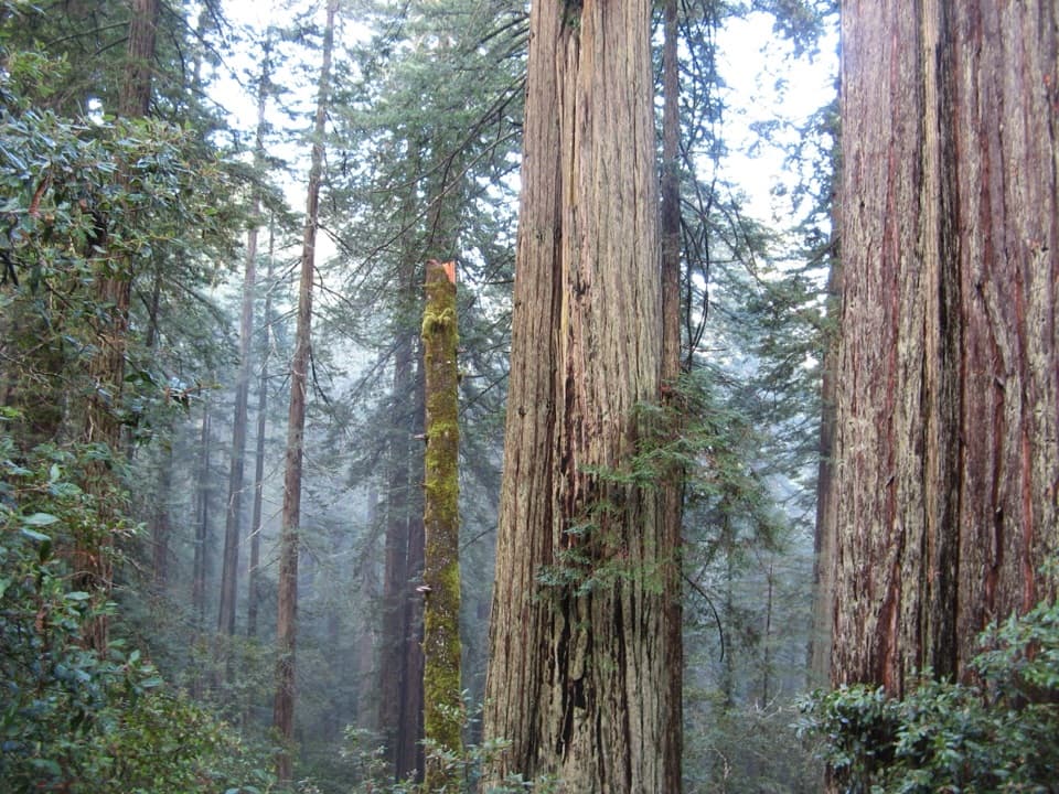 Sight · 0.8 mi awayLady Bird Johnson GroveAn easy loop through old-growth redwoods with a conservation story.
 Sight · 1.7 mi awayTrillium FallsA ferny redwood walk ends at a close-up view of the falls.
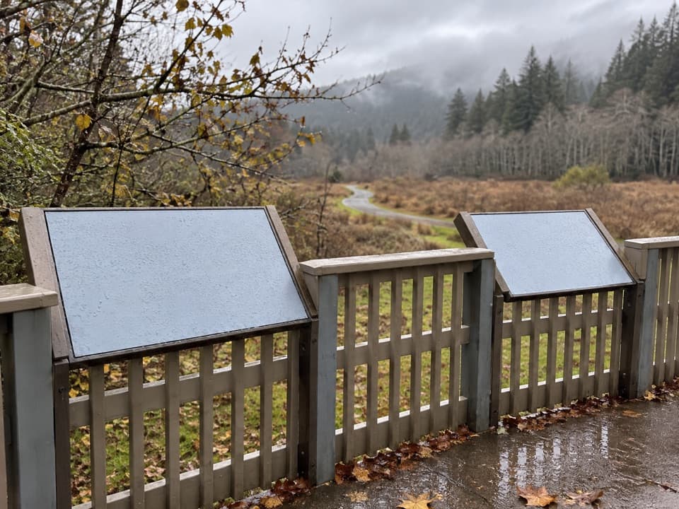 Picnic area · 1.7 mi awayElk Meadow Day Use AreaA picnic meadow where elk sometimes graze beside the trails.
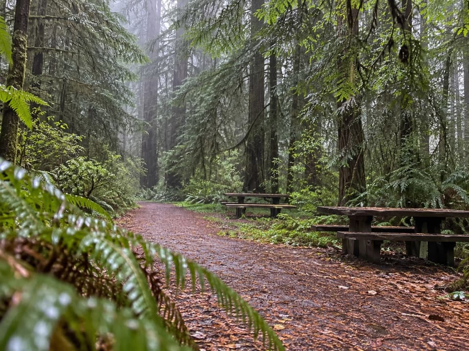 Picnic area · 2.2 mi awayLost Man Creek Picnic AreaA simple picnic stop with an easy first mile by the creek.
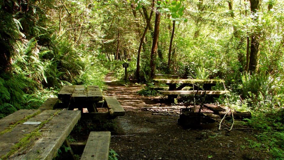 Campground · 2.5 mi awayElam Backcountry CampA small trail-side camp; creek levels shape the approach.
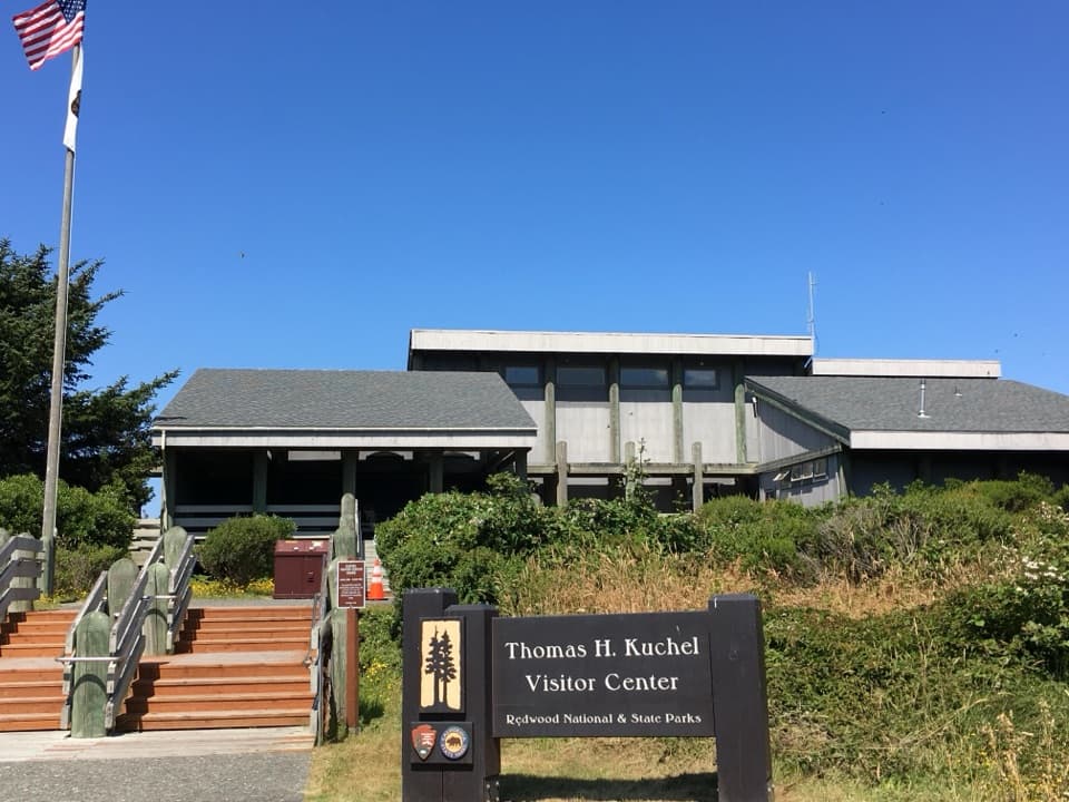 Visitor center · 3.1 mi awayThomas H. Kuchel Visitor CenterGet your bearings, then step straight onto Freshwater Beach.
 Picnic area · 3.3 mi awayRedwood Creek / Freshwater Beach Day Use AreaA picnic stop with shelter and a short walk to Freshwater Beach.
 Sight · 3.4 mi awayFreshwater LagoonA calm-water lagoon for kayaking, swimming, and fishing.
Parkwolf’s Redwood ranking
The audio tour guide for the drive, plus offline maps, trails, and wildlife heatmaps for when the signal drops.