
Place · 0.3 mi away
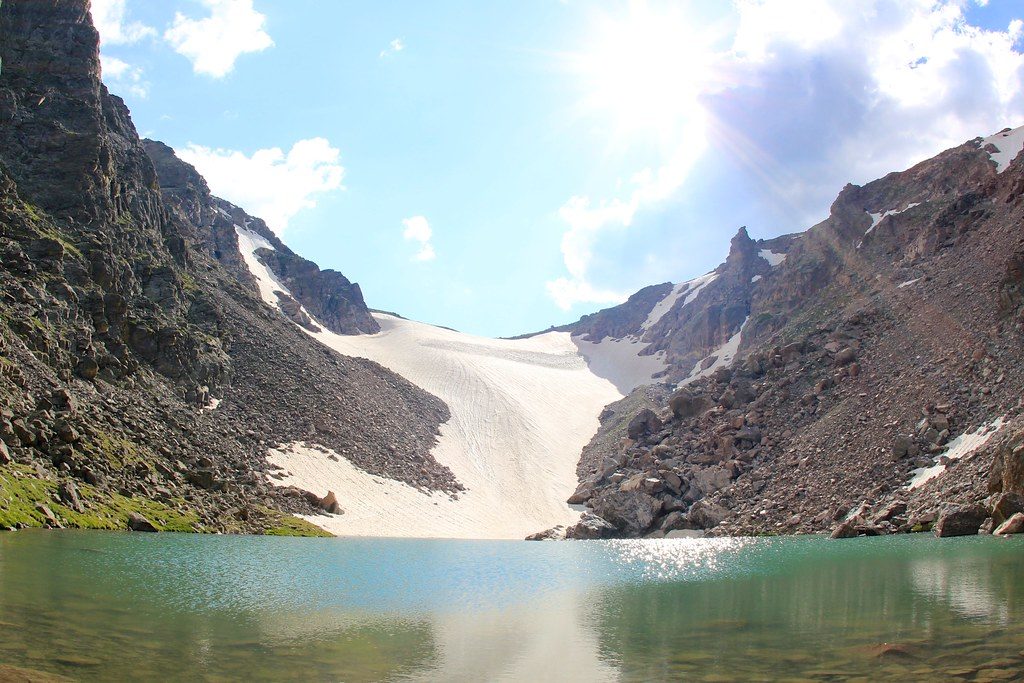
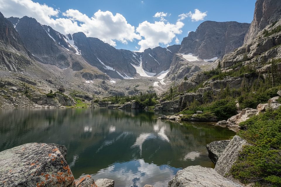
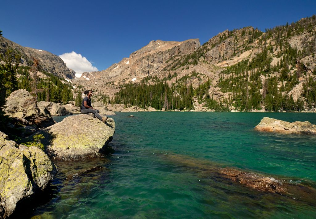
A small, striking alpine lake cradled at roughly 11,380 feet, Andrews Tarn sits directly beneath Andrews Glacier in a rugged cirque between towering peaks. It’s a classic high-country payoff: turquoise water, snow and ice lingering into summer, and big walls all around. Expect a stout day and a quieter feel than the crowds heading to Sky Pond.
Start from Glacier Gorge and pass Alberta Falls, then climb to The Loch with views of Taylor Peak, Thatchtop, Sharkstooth, and more. Around The Loch, take the signed right spur toward Andrews Glacier. From here the trail steepens along Andrews Creek and deteriorates into cairned talus. Stay attentive as the footpath fades—cairns can conflict—and crest the moraine to reveal the glacier and the tarn right at its base.
The last stretch is a lung-buster over loose rock and scree with some hands-needed moves. Route-finding grows tricky above The Loch; expect to pick your way through talus using cairns. Winds can rip across the cirque, and weather shifts quickly. Do not step onto the glacier unless you have the skills and gear—traction and an ice axe are often required; past accidents have been fatal.
Andrews Tarn is one of those rare RMNP spots where you’re face-to-face with an active glacier. The setting feels wild and intimate; you can watch snowfields slough, hear meltwater trickle, and soak up wide alpine views. Many hikers call it a favorite precisely because it delivers sky-high drama without the Sky Pond crowds.
Prime season runs June through October. Early season snow can actually smooth over parts of the talus, while mid-to-late summer exposes bigger boulders below the tarn. In winter and spring, avalanche danger and severe weather make this an objective for experienced, well-equipped parties only. Regardless of month, start early; afternoon thunderstorms are common.
Parking at Glacier Gorge fills very early in peak season; the Bear Lake Road shuttle is the reliable backup. Restrooms are at major trailheads, but there are no facilities along the route—pack out all trash and treat any water you collect. Timed-entry is typically required for the Bear Lake Road corridor in high season; plan ahead.
Both the glacier and the tarn are named for Edwin B. Andrews, who, with Abner Sprague, climbed the glacier in 1897.
Aim for a dawn start on a weekday in summer or early fall. You’ll snag parking or a first shuttle, reach the alpine before winds whip up, and catch calm, flattering light at the tarn. Be back below treeline by early afternoon to avoid storm risk.
Place · 0.3 mi away
Place · 0.6 mi away
Place · 0.8 mi away
Place · 0.9 mi away
Moderate · 2.4 mi away
Challenging · 2.4 mi away
Easy · 2.4 mi away
Moderate · 2.4 mi away

Parkwolf Tour Guide
