
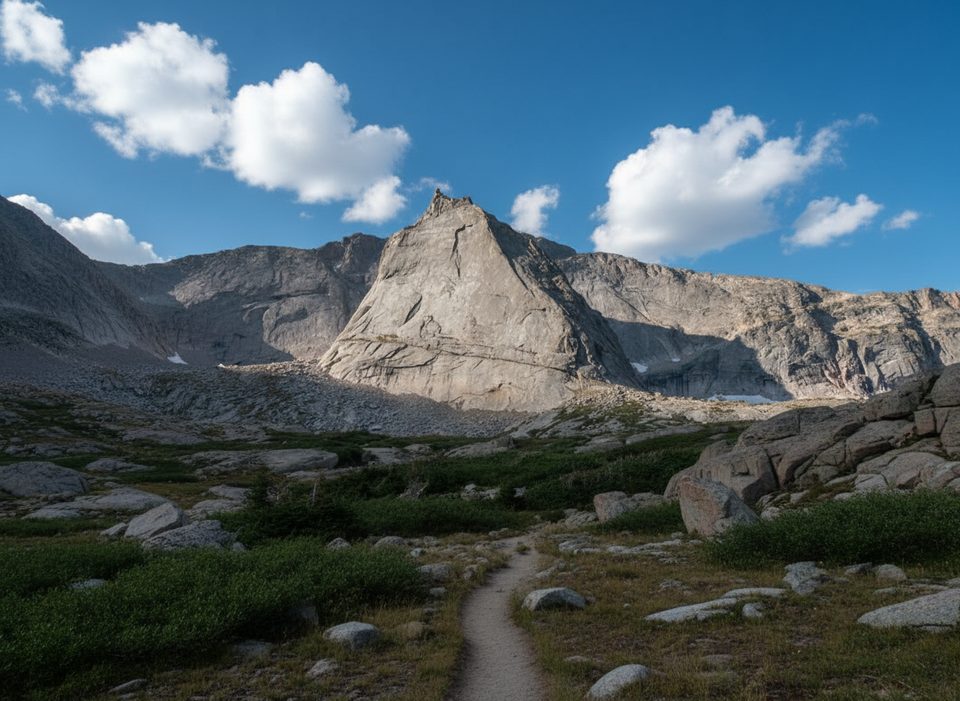
Place · 0.4 mi away
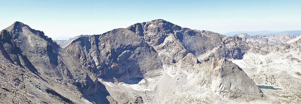
At 13,579 feet and the park’s third-highest summit, Chiefs Head Peak is a serious alpine objective with a huge payoff: commanding views of Glacier Gorge, Longs Peak, and McHenry’s. It’s a worthy standalone climb and a cornerstone of the classic 13er ridge run that links Chiefs Head → McHenry’s → Powell → Taylor.
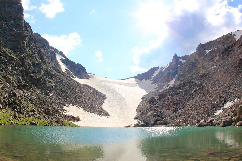
Most parties approach via Glacier Gorge to Black Lake and into the upper basin below Spearhead. Expect complex route-finding, airy traverses, and occasional short, harder moves to gain the west ridge; once on the ridge, much of the travel is easier but still exposed. The descent toward Stone Man Pass is methodical on broken rock. If you continue the 13er linkup, the McHenry’s → Powell section is the technical crux, with seasonal knife-edge snow and mandatory rappels into McHenry’s Notch; strong teams still prefer a rope here. A representative full linkup day clocks roughly 16 miles, 6,500 feet of gain, and around 14 hours. Many parties exit via Andrews Glacier when conditions allow; it can feel steeper than some older mentions, so assess carefully and bring an ice axe or traction if firm.
An alternative non-technical outing is Chiefs Head via the Sandbeach Lake side, which some hikers use to tag the summit without committing to the full traverse.
Glacier Gorge Trailhead (off Bear Lake Road) is the common start and fills early in summer—arrive before 7 am if you want a spot. If it’s full, park at the larger Bear Lake lot and connect by trail, or use the small pullout a couple of switchbacks below and walk up. Do not park along the road; towing is enforced. The Bear Lake Road shuttle is a reliable way to avoid parking headaches.
Beyond the trailhead you’re fully in the backcountry—no toilets or taps. Streams and lakes are available for filtering. Backcountry camping is allowed only at designated sites with a permit. The Glacier Gorge (#39) site sits about 3.8 miles from the trailhead; the old privy has been removed and current guidance is to use wag bags and pack out human waste. Permits are required and typically must be reserved well in advance, often via a lottery.
Conditions on these approaches can be wet and muddy in places. Summer offers the best window for a dry, snow-light ascent, but mountain weather turns fast—nights run cold and storms build early. Start early to reduce lightning exposure on ridges and passes.
Helmets are a must. For the McHenry’s → Powell crux, bring a 60 m rope, a few slings/webbing, and a rap ring to back up anchors. If planning an Andrews Glacier descent, carry an ice axe and consider traction when the snow is firm. Carry headlamps and be prepared for route-finding after dark—parties commonly get delayed in Glacier Gorge.
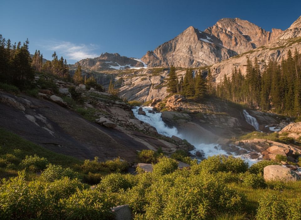
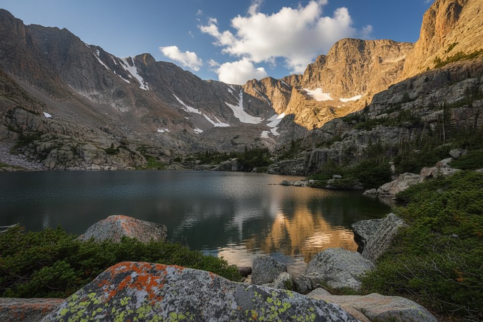
Elk sightings are possible in the area. The dramatic cirques, headwalls, and sheer north faces around Glacier Gorge are textbook alpine glaciation, and you’ll feel that scale from Black Lake all the way to the summit.
Aim for mid-summer through early fall in stable weather. Go on weekdays to ease parking, start well before sunrise for a calmer trailhead and better margins on afternoon storms, and time summit photos for morning light over Glacier Gorge.
Place · 0.4 mi away
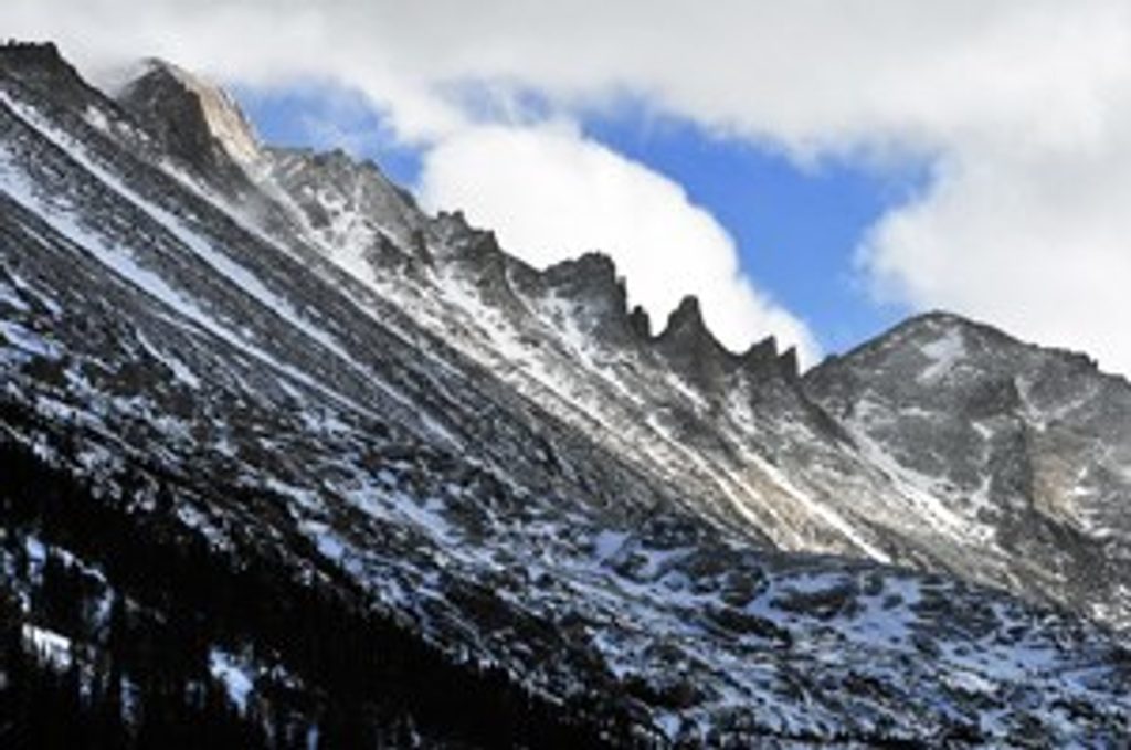
Place · 1 mi away
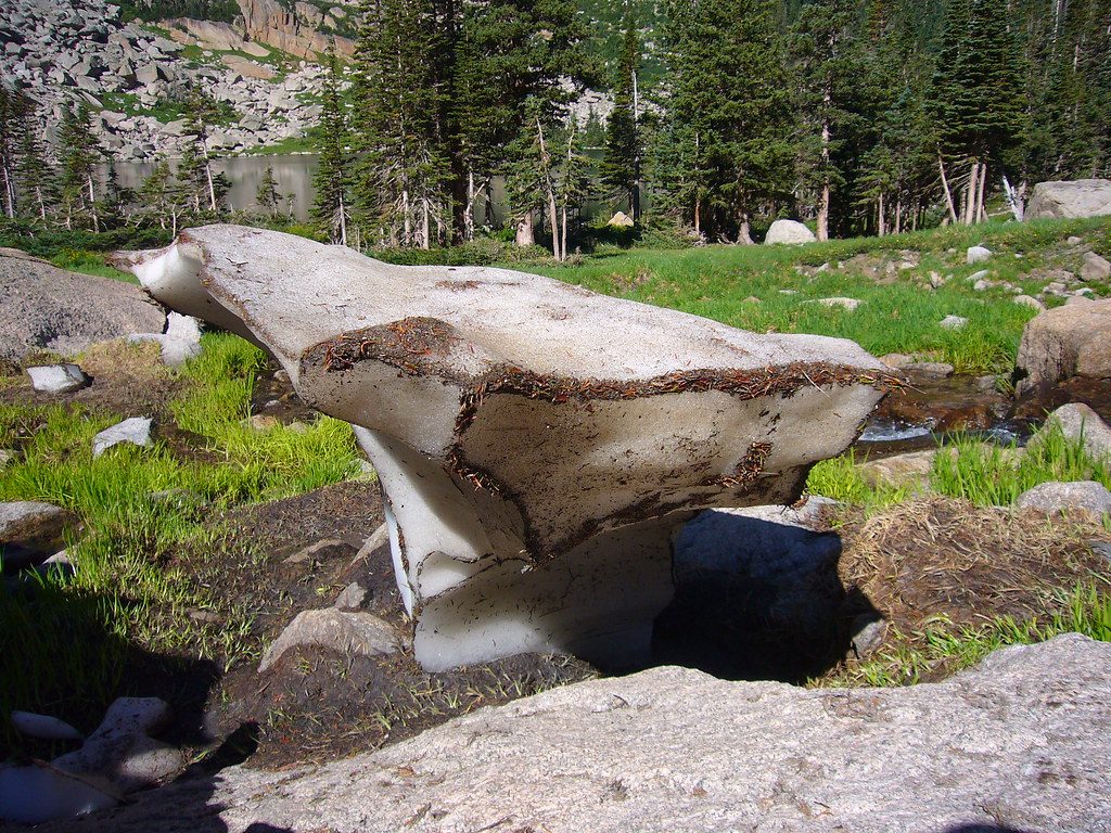
Place · 1.1 mi away
Place · 1.2 mi away
Moderate · 4.2 mi away
Challenging · 4.2 mi away
Challenging · 4.2 mi away
Challenging · 4.2 mi away

Parkwolf Tour Guide
