
Place · 0.1 mi away
Easy
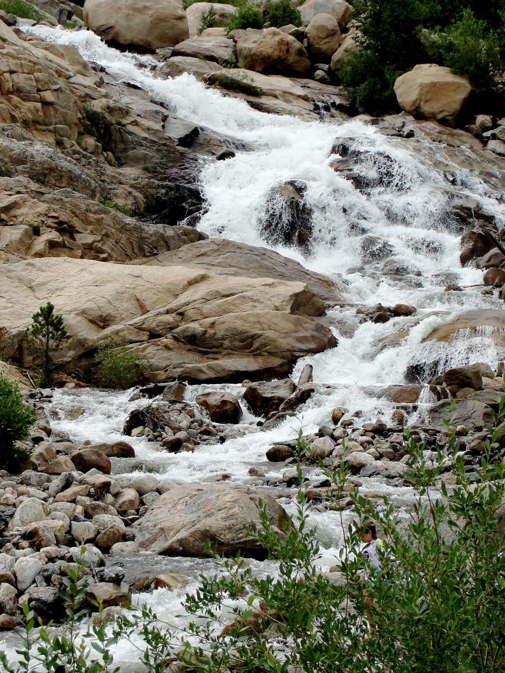
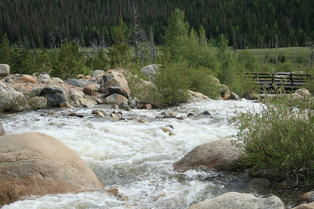
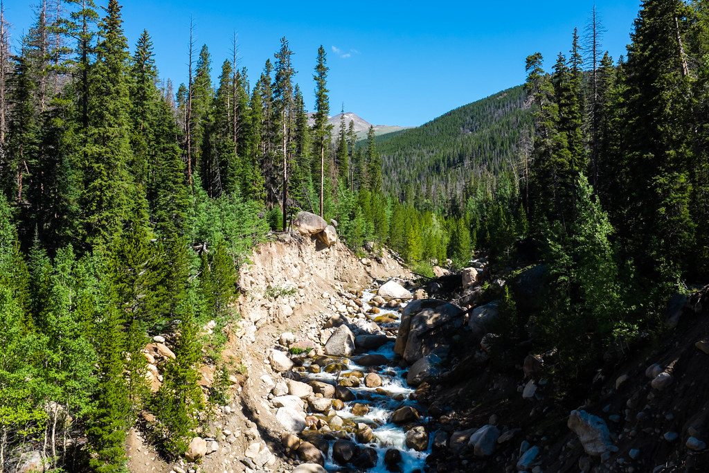
This is a quick, scenery‑dense stop where the Roaring River tumbles through a vast boulder field created by the 1982 Lawn Lake Dam failure and reshaped by the 2013 floods. The walk is about 0.6 miles total out and back with roughly 75 feet of gain, and most folks spend 15–30 minutes here. It’s more geologic storybook than “hike,” and that’s the appeal—big payoff for minimal effort.
You get front‑row views of Horseshoe Falls, the Mummy Range, and Endovalley, plus interpretive signs that bring the alluvial fan’s origin to life. If you’ve got kids (or playful adults), the boulder field near the water is irresistible for cautious scrambling and photos. It’s an easy add to any park day and a great place to feel the power that moved all those rounded, river‑worn rocks.
Two short approaches—East and West—are linked by a rebuilt, 56‑foot bridge over the Roaring River. Surfaces are paved or boardwalk and generally 5 feet wide. Expect gentle walking punctuated by brief steeper pitches, views of the cascades, and plenty of chances to pause. Rock hopping is common off the paved path near the water; if you want the smoothest experience, stick to the pavement and bridge.
The West side is the most accessible, designed to meet current standards with wide, smooth surfaces and the easiest grades. The full connection between sides remains largely accessible, but some sections—especially from the East—are steeper and may require assistance for wheelchair users or anyone with limited mobility.
There are two signed lots: East Alluvial Fan and West Alluvial Fan. Both have accessible spaces; the West lot typically feels roomier and includes a restroom. A picnic spot sits near the West side, and interpretive signage throughout helps decode what you’re seeing.
May through September is prime for flow, temps, and easy access. It’s popular, so arrive early morning or later afternoon for easier parking and softer light on the falls and boulders. Fall adds standout aspen color in Endovalley. In any season, rocks near the water can be slick, and road access in this corridor can change—check current park conditions before you roll.
Wear grippy shoes if you plan to leave the pavement for a closer look at the cascades. Keep a close eye on kids near moving water and wet rock. Bring a bottle of water—elevation here is around 8,600 feet and the area has limited shade. A park pass is required. Pets aren’t allowed on trails here (roads and parking areas only, on leash).
Park at either the East Alluvial Fan or West Alluvial Fan lots along Endovalley/Old Fall River Road; both have accessible spaces. The West lot typically has more room, restrooms, and the smoothest approach. A footbridge connects the two sides.
Rocks by the water are slick; supervise kids and avoid wet slabs. Some grades on the East approach are steep for mobility devices. Road access in this corridor can change—check current park conditions.
Place · 0.1 mi away
Place · 0.7 mi away
Place · 1.3 mi away
Place · 1.5 mi away
Moderate · 0.4 mi away
Moderate · 0.4 mi away
Moderate · 2.7 mi away
Moderate · 2.7 mi away

Parkwolf Tour Guide
