Parking
From Beaver Meadows Visitor Center, take US 36 west to US 34 at Deer Ridge Junction. Continue to Horseshoe Park, turn left toward Endovalley, and watch for Lawn Lake Trailhead parking on the right.
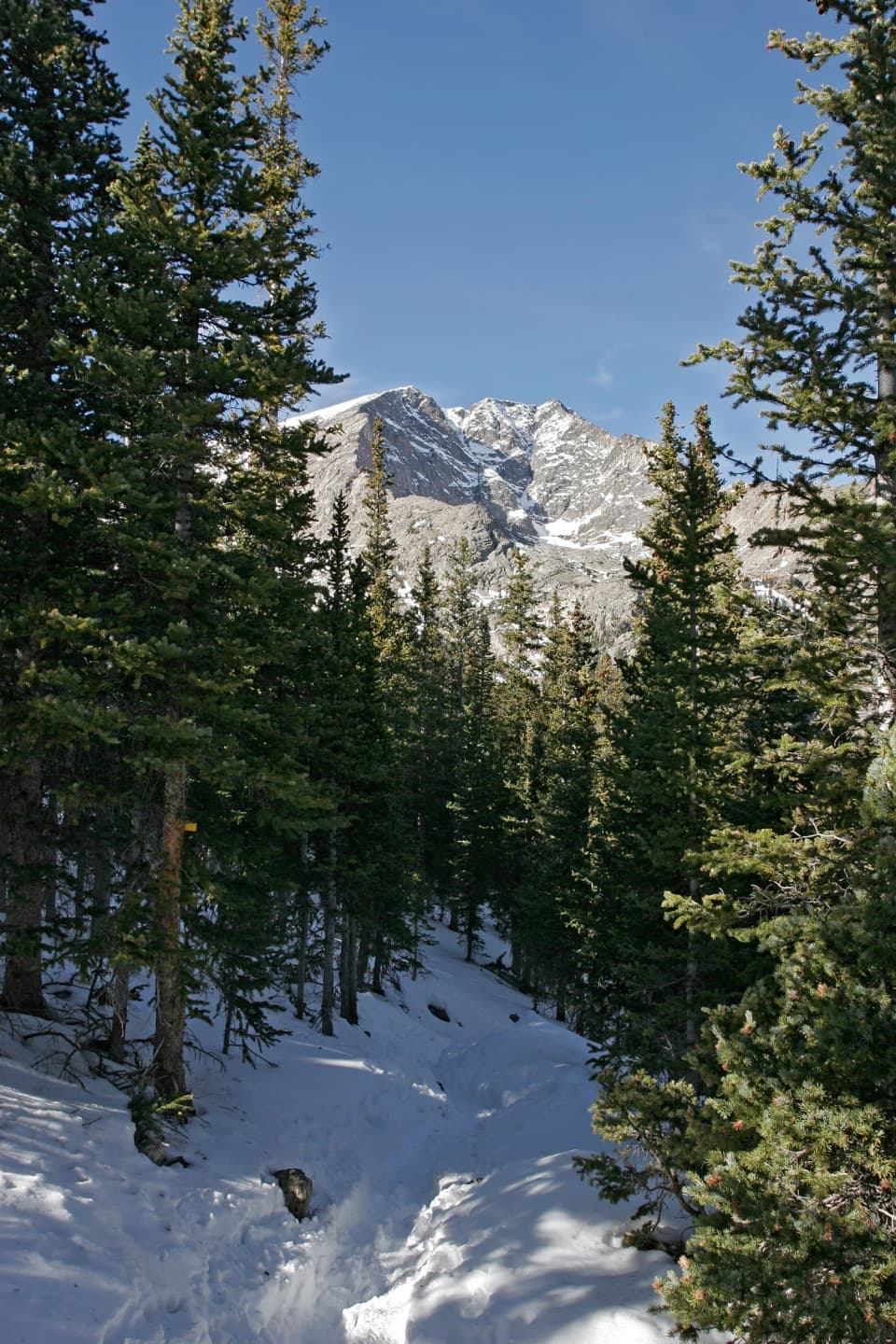
Rocky Mountain National Park, CO
A long climb to a lake beneath Ypsilon's snow-filled couloir.
Overview
Ypsilon Lake Trail is a 9-mile out-and-back from Lawn Lake Trailhead, with 2,180 feet of climbing and a high point near 10,740 feet. Allow about 6 to 8 hours with stops. The distance and altitude make this a hard day, not a quick lake stroll. I'd choose it for a long mountain walk with a strong payoff, but save it for a day when you feel good at elevation.
 Parkwolf’s verdictIs this the hike for you?
Map & elevation
Plan your hike

The highest, rockiest slopes around here are a summer buffet for grizzly bears.
Rocky Mountain Tour Guide
Parkwolf is a GPS audio tour guide for Rocky Mountain National Park. As you drive, it chimes in with what’s ahead: hidden gems, upcoming stops, history, geology, and wildlife, right through your car’s speakers.
See the Rocky Mountain audio tourRecorded for this trailhead
Lawn Lake Trailhead: A Long Climb or a Shorter View“You're coming up on Lawn Lake Trailhead, where a long climb follows the Roaring River to a lake ringed by the Mummy Range.”
Plays as you drive up to this trailhead in the Parkwolf Rocky Mountain Tour Guide.
More stories near here in the app
“…No cell service for majority of the day but had continuous access to the app - the maps, the tour guide as you drive is amazing. Highly recommend purchasing the subscription.”


Trail guide
The first 1.4 miles follow the Lawn Lake Trail. At the signed junction, go left for Ypsilon Lake; straight continues toward Lawn Lake. The route climbs steadily through dense pine, with occasional views toward Deer Mountain, Longs Peak, and the peaks around Horseshoe Park. A footbridge crosses Roaring River near the junction. The trail ends at Ypsilon Lake's west shore; the rougher continuation toward Spectacle Lakes is a separate scramble, not part of this route.
The climb levels near its high point around 3.5 miles, then drops briefly to Chipmunk Lake. Pause by the shore: Ypsilon Mountain rises beyond the trees, and its snow-filled couloir draws a clear Y down the face. The trail then descends past Upper Chipmunk Campground at about 4.2 miles and reaches Ypsilon Lake around 4.5 miles from the start. A waterfall feeds the lake near the trail. Save some energy for the uphill return and the climb back over the high point.
Lawn Lake Dam failed on July 15, 1982, sending a flood down Roaring River. It scoured the channel and left a broad debris fan where the river meets Fall River. That history is part of the approach: the crossing and its footbridge sit in a valley dramatically changed by the flood.
Lawn Lake Trailhead is on the road to Endovalley, with parking on the right and a vault toilet. Upper Chipmunk Campground also has a privy, but it is a backcountry campground rather than a day-use shelter. Treat stream water near Ypsilon Lake before drinking. Pets aren't allowed on trails in the park.
Wildlife
 3,124 sightingsElkMost seen around 6 PMSighting map
 1,601 sightingsMooseMost seen around 7 PMSighting map
 19 sightingsMountain GoatMost seen around 7 AMSighting map
 19 sightingsBald EagleMost seen around 8 AMSighting map
 30 sightingsGolden EagleMost seen around 10 AMSighting map
 270 sightingsBighorn SheepMost seen around 11 AMSighting map
Sighting maps show where each species has been reported across Rocky Mountain. Wildlife moves, so no sighting is guaranteed.
Keep exploring
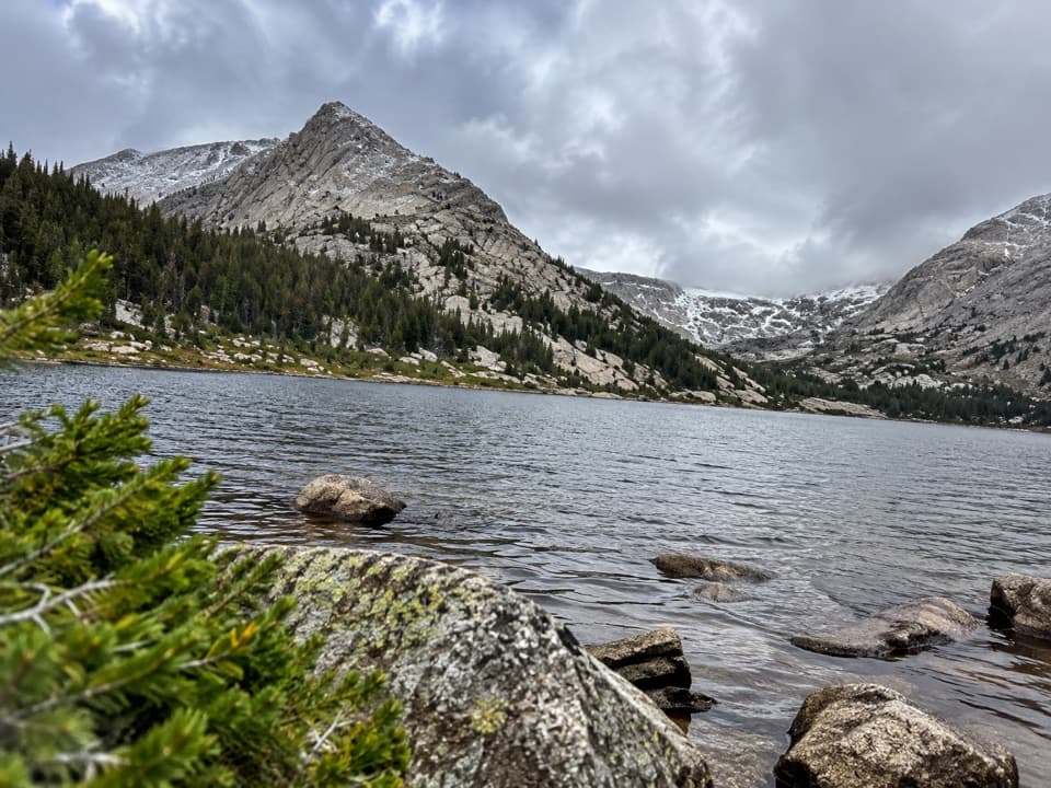 ChallengingCrystal Lakes Trail15.4 mi · 10 hr · At the trailheadTwo alpine lakes below Mount Fairchild make for a very long day.
 ChallengingThe Saddle via Lawn Lake Trail16.7 mi · 9 hr · At the trailheadA high saddle beyond Lawn Lake makes this a full-day climb.
 ChallengingLawn Lake Trail12.4 mi · 5.5 hr · At the trailheadA hard climb to a lake in a valley remade by flood.
 EasyAlluvial Fan Trail0.4 mi · 30 min · 0.6 mi awayA bridge and waterfall on a trail shaped by a 1982 flood.
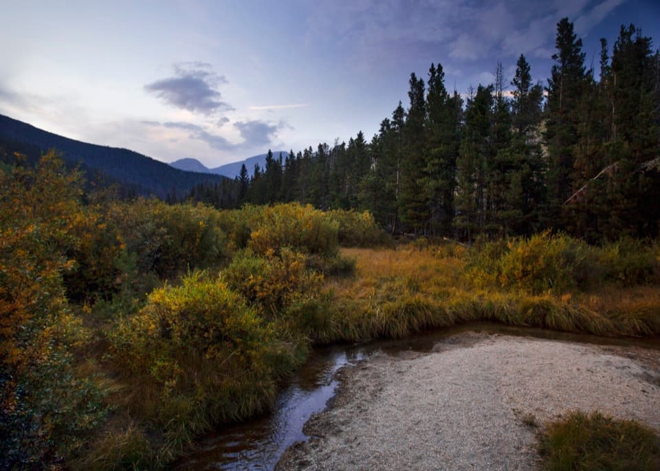 EasyBeaver Ponds Boardwalk0.2 mi · 15 min · 1 mi awayA short boardwalk into a wetland shaped by old beaver dams.
 EasyAspenglen Loop3 mi · 1.5 hr · 1.6 mi awayMeadow flowers frame the Mummy Range on this easy loop.
 EasyLittle Horseshoe Park Loop3.9 mi · 2 hr · 1.6 mi awayA gentle meadow loop with open Mummy Range views.
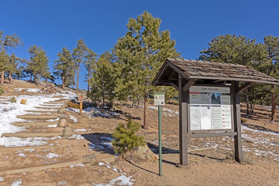 ChallengingDeer Mountain Trail6.2 mi · 3.5 hr · 1.6 mi awayEarly meadow views lead to a steep climb and broad summit panorama.
 Sight · 0.4 mi awayAlluvial FanSee the 1982 flood's boulder fan break into a rushing cascade.
 Scenic pullout · 0.4 mi awayWest Horseshoe Park PulloutA quick stop for meadow views beneath the Mummy Range.
 Sight · 0.4 mi awaySheep LakesScan the valley for moose, sheep and elk from the roadside.Sight · 1 mi awayBeaver PondsA short boardwalk into a wetland shaped by old beaver dams.
 Sight · 1.4 mi awayMany Parks Curve OverlookThe lowland parks and Longs Peak line up from this roadside curve.
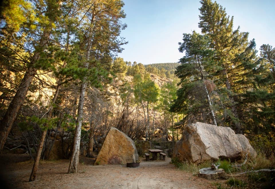 Picnic area · 1.7 mi awayEndovalley Picnic AreaA shaded picnic loop by the river at Old Fall River Road.
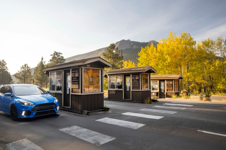 Entrance station · 1.8 mi awayFall River EntranceThe staffed eastern gateway to Rocky Mountain National Park.
 Campground · 1.9 mi awayAspenglen CampgroundWooded camping near Fall River Entrance, including five walk-to sites.
Parkwolf’s Rocky Mountain ranking
The audio tour guide for the drive, plus offline maps, trails, and wildlife heatmaps for when the signal drops.




