Pros & cons
PROS
- Wide panorama over multiple meadows with Longs Peak and the Mummy Range
- Quick stop with a long viewing deck and two parking areas
- Often reachable when higher Trail Ridge Road is closed in winter
CONS
- No restrooms at the overlook
- Parking can be tight by late morning in busy seasons
Overview
Pinned to a hairpin on Trail Ridge Road, Many Parks Curve is the first big east-side viewpoint that really opens up. It’s a pullout-and-stroll stop—walk across the road to a long deck for a sweeping look into the park’s broad meadows and high peaks. Most folks spend about 20 minutes here, but you could linger longer if the light or clouds are playing nice.
What you’ll see
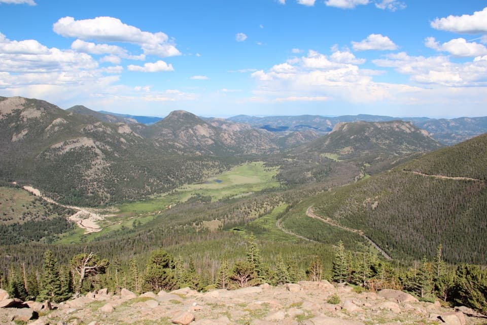
- A classic front-range panorama: Horseshoe Park, Moraine Park, Upper Beaver Meadows, and even Estes Park laid out below, with Deer Mountain in front and Longs Peak and the Mummy Range anchoring the skyline.
- The “parks” you’re looking at are glacially carved, flat-floored valleys—Ice Age glaciers widened these basins, while the skyline exposes very old metamorphic and granitic rocks uplifted during mountain-building.
- Low rock outcrops near the deck can offer slightly higher vantage points for photos.
Best times to visit
- Sunrise is the move: softer light on the meadows, calmer wind, easier parking.
- Midday and early afternoon draw the biggest crowds; expect the lot to be busier on weekends.
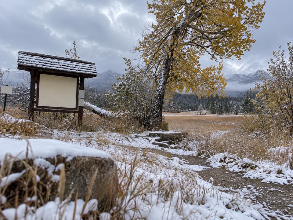
- Fresh snow in winter or spring can make this view feel extra dramatic.
Seasonality and road status
- The higher reaches of Trail Ridge Road typically close from mid‑October to Memorial Day, but the east side is often plowed up to Many Parks Curve—making this a frequent winter turnaround point.
- During peak season, Trail Ridge Road (this area included) generally requires a timed-entry reservation between 9 am and 3 pm, separate from the park entrance fee. Book early or try for last‑minute releases the evening before.
Wildlife
- Bring binoculars and scan the meadows—this area is known for frequent wildlife sightings. Enjoy the view and keep your distance; never feed animals.
Practicalities
- No services here: no restrooms, no picnic tables. Plan bathroom stops at nearby areas (e.g., Hidden Valley or, higher up when open, Rainbow Curve).
- Use care crossing the road to the deck—it’s a curve and traffic can appear quickly.
- If the road is open farther west, consider adding Rainbow Curve for a different, higher perspective.
Where it is
40.3878, -105.6327Many Parks Curve Overlook
Tips for Many Parks Curve Overlook
- 01Arrive early for golden light and easier parking.
- 02If visiting between 9 am and 3 pm in peak season, secure a timed-entry reservation.
- 03Plan restroom stops at Hidden Valley or Rainbow Curve; none at the overlook.
- 04Watch traffic when crossing the road to the viewing deck.
- 05Bring binoculars to scan the meadows for wildlife.
Amenities
Near Many Parks Curve Overlook
All places →All trails →
1.2 mi awayDeer Ridge JunctionRoadside junction and jump-off for the Deer Mountain hikePullout · Parking
1.3 mi awayHidden ValleyFamily sledding hill and year-round picnic spot with flush bathroomsRestroom · Parking
1.3 mi awaySheep LakesEasy roadside stop for big wildlife in a wide mountain meadowPullout · Parking
1.4 mi awayYpsilon Lake TrailSteady, quieter climb to a pretty subalpine lake and waterfallsModerate · 9.4 mi · 4.8 hr
1.4 mi awayLawn Lake TrailLong, quiet climb to a storied alpine lake and 1982 flood scarsModerate · 12.5 mi · 7 hr
1.4 mi awayOld Ute TrailHigh tundra traverse with Never Summer views and serious weather.Moderate · 8 mi · 4 hr
1.4 mi awayUte TrailHigh tundra traverse with huge views between Milner Pass and Alpine VisitorModerate · 8 mi · 4 hr
1.4 mi awayUpper Beaver MeadowsOpen meadow hikes with elk, big views, and a quiet vibeTrailhead · Parking