
Place · 0 mi away
Moderate
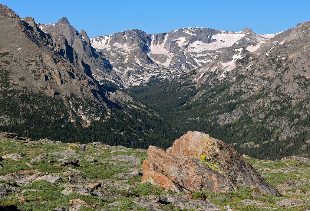
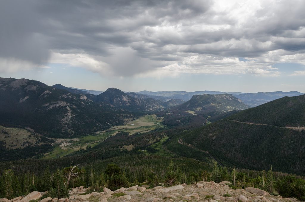
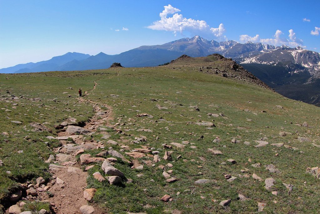
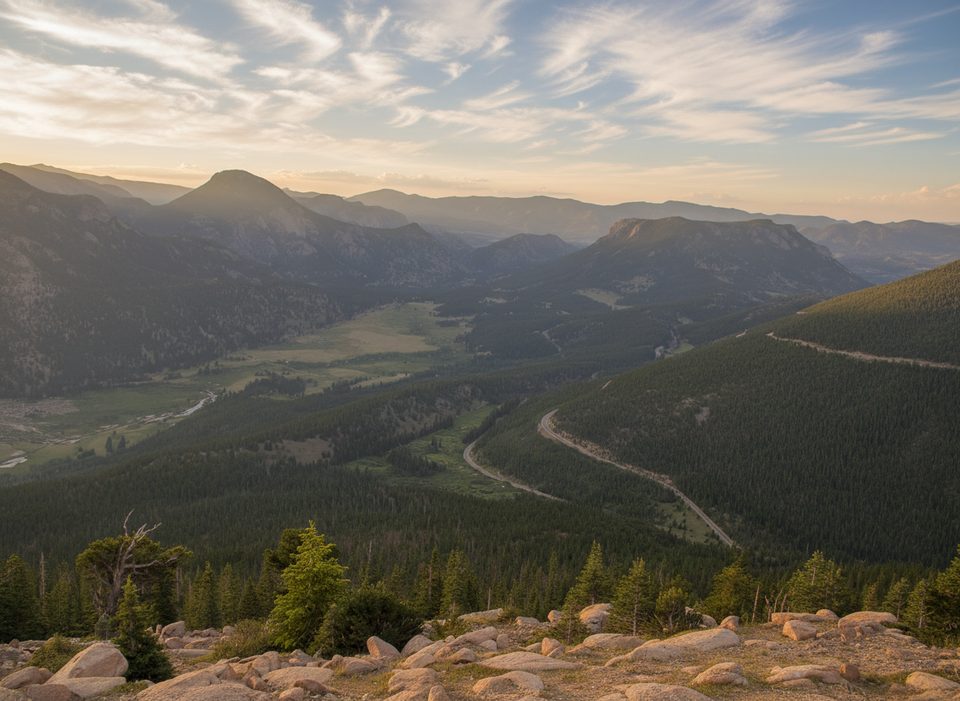
If you want big Rocky Mountain views without a massive climb, this high-alpine traverse delivers. The classic version runs between Milner Pass (Poudre Lake) and the Alpine Visitor Center, mostly above 11,000 feet on open tundra with sweeping looks into Forest Canyon and the Never Summer Mountains. As an out-and-back, it’s about 8.0 miles total; many hikers stage a car and do it one-way (roughly 4 miles). Expect wind, thin air, and weather that can flip fast.
Rated easy to moderate, but the elevation makes it feel spicier. Footing ranges from firm tundra tread to rocky stretches that demand attention. Most of the route is above treeline: no shade, lots of exposure, and wind is common. Even fit hikers notice the altitude—pace yourself.
This is true alpine tundra—low, hardy plants eking out a living where trees can’t. Keep an eye out for elk, marmots, pikas, ptarmigan, and, with luck, moose near Milner Pass. The corridor traces an age-old path used by Indigenous travelers, including the Ute people, moving seasonally with game. Stay on the trail—tundra recovers painfully slowly from off-trail trampling.
You can start from Milner Pass (Continental Divide, near Poudre Lake) or the Alpine Visitor Center. Both have parking; the visitor center has services in season and fills early. The Ute Crossing pull-off on Trail Ridge Road is small and easy to miss; there’s another tiny lot a quarter-mile up the road. There’s no park shuttle along Trail Ridge Road—plan an out-and-back or set up your own car shuttle for a one-way.
Go when Trail Ridge Road is open (typically late spring to fall). Start early for calmer winds, better light, and to avoid routine afternoon thunderstorms. Clear mornings offer the best photography; clouds building by late morning are your cue to turn around.
Layer up—conditions can be wintery even in summer. Watch the sky and bail if storms build; lightning risk is real on open tundra. Hydrate, eat, and don’t push through altitude symptoms. Trekking poles help on the rocky bits. Respect closures and stay on durable surfaces, especially in burn-affected zones near Timberline Pass.
Park at Milner Pass (Continental Divide) or the Alpine Visitor Center; both have designated lots (AVC fills early). For the shorter tundra sampler, use the small, often unsigned Ute Crossing pull-off on Trail Ridge Road; an additional tiny pull-out sits about a quarter-mile farther up.
High, fully exposed tundra—rapid storms, lightning, and strong winds are common. Altitude makes modest climbs feel harder; hydrate and turn back if symptoms appear. Trail Ridge Road is seasonal and there’s no shuttle along it. Stay on trail to protect fragile tundra and burn-affected areas.
Place · 0 mi away
Place · 1 mi away
Place · 1.3 mi away
Place · 1.4 mi away
Moderate · 0 mi away
Moderate · 0 mi away
Moderate · 0 mi away
Moderate · 1.5 mi away

Parkwolf Tour Guide
