Pros & cons
PROS
- Backcountry contact point along the John Muir Trail corridor
- Remote high-Sierra granite scenery carved by ancient glaciers
CONS
- No on-site services: no water, restrooms, trash, or parking
- Hike-in only; plan a multi-day approach over high passes
Overview
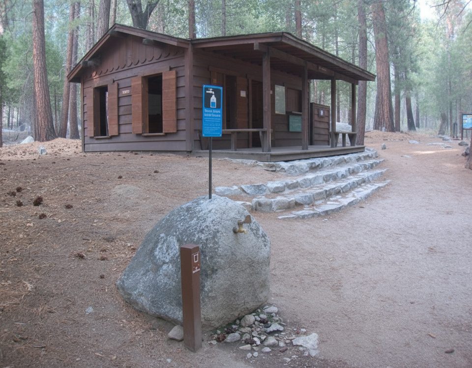
This is a true backcountry ranger station in Kings Canyon’s Le Conte Canyon, part of the jointly managed Sequoia & Kings Canyon unit. It sits along the John Muir Trail below Muir Pass, near the junction toward Dusy Basin and Bishop Pass. Expect seasonal staffing at most, and plan to be fully self-sufficient—this is not a place to “drop by” from the road.
What to Expect
- No infrastructure: no restrooms, potable water, trash, picnic tables, or nearby parking. Treat natural water, follow Leave No Trace, and pack out everything.
- Access is on foot only via long wilderness approaches; there is no drive-up option.
- Think of it as a waypoint and occasional ranger presence in a high-use corridor, not a facility with services.
Scenery and Geology
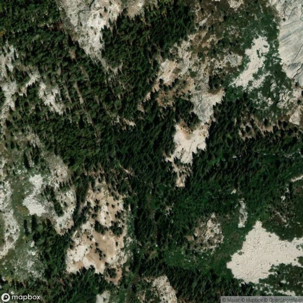
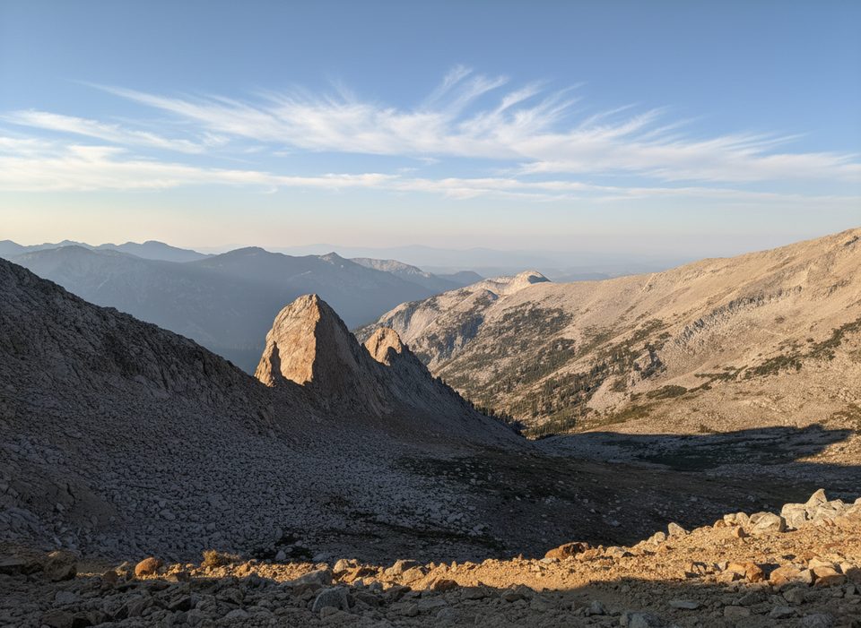
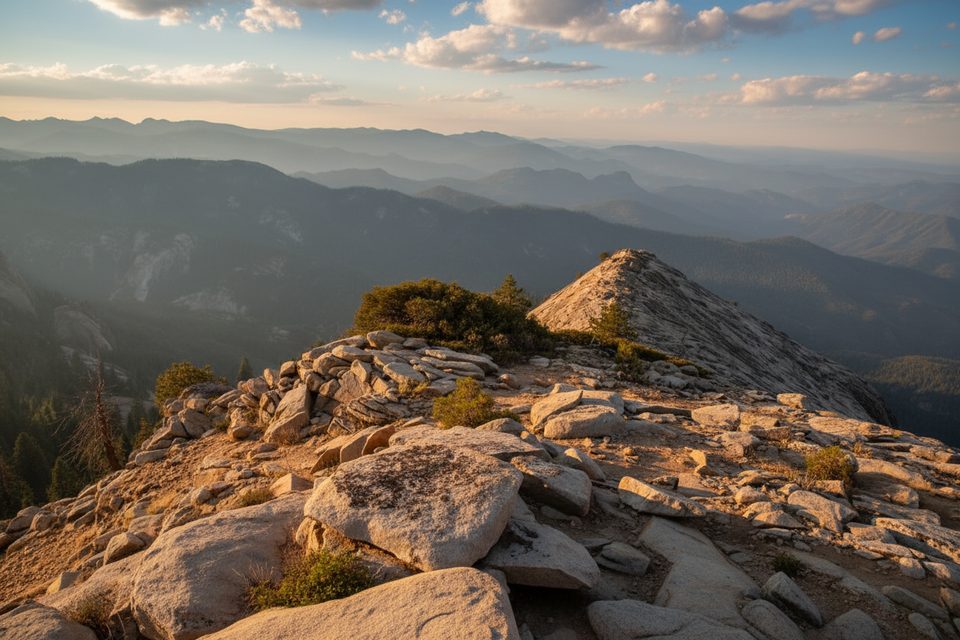
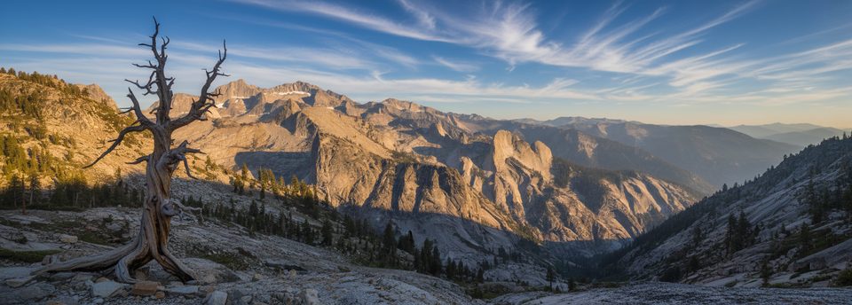
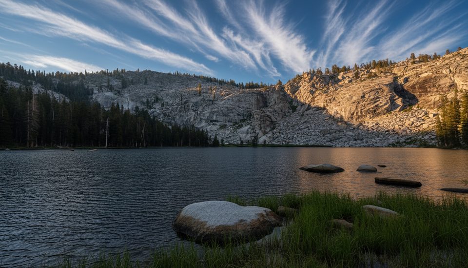
Le Conte Canyon showcases classic High Sierra granite shaped by Pleistocene glaciers: a broad U-shaped valley with smoothed bedrock and hanging side valleys. Bedrock here is part of the Sierra Nevada batholith; nearby units include the Upper Cretaceous John Muir Intrusive Suite and felsic alaskite tied to Evolution Basin. It’s a stark, light-toned, high-elevation landscape—great for big views and photography when the light rakes across the polished slabs.
Approaches and Nearby Staging
Common approaches include:
- From the east over Bishop Pass via the Dusy Basin junction.
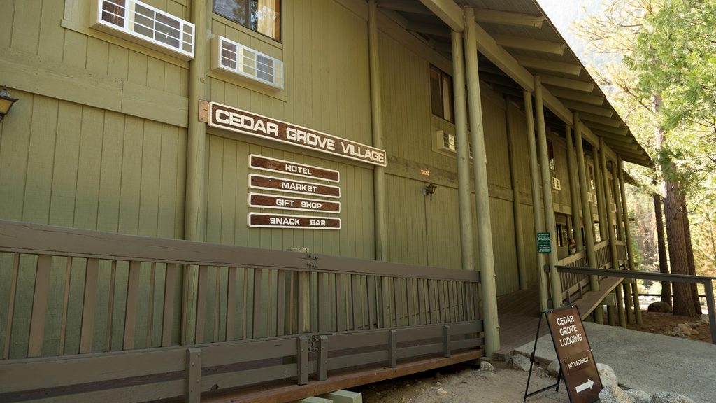
- From the west through the Cedar Grove/ Road’s End area (seasonal access) on longer approaches into the canyon.
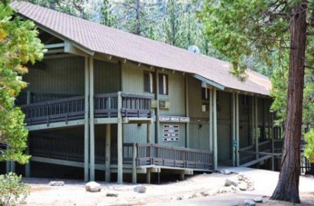
Developed amenities like water, restrooms, and parking are far away in front-country hubs (e.g., the Cedar Grove area when open). Build your itinerary around wilderness travel days and resupply logistics.
Safety and Planning
Steep granitic terrain means typical High Sierra hazards—rockfall, loose talus, and rapidly changing mountain weather. Carry proper maps and navigation. Wilderness regulations apply; practice bear-aware food storage and Leave No Trace.
Best Time to Visit
Aim for the mountain travel season when high passes are snow-free and trail corridors are open. Weekdays generally see fewer backpackers than weekends in peak season. For softer light on the canyon walls, plan early morning or late afternoon travel and photo stops.
Where it is
37.0931, -118.5945Tips for Le Conte Canyon Ranger Station
- 01Plan for zero services here—treat water and pack out all waste.
- 02Choose your approach: east via Bishop Pass or west from Cedar Grove.
- 03Carry USGS topos and offline navigation for Muir Pass–Le Conte Canyon.
- 04Check current park conditions and any seasonal closures before heading in.
Amenities
Near Le Conte Canyon Ranger Station
All places →All trails →
20.6 mi awayRoad's End Permit StationPermit hub for Rae Lakes and Mist Falls trailheadsRanger Station · Trailhead
21.3 mi awayCedar Grove MarketCanyon-floor outpost for snacks, basics, and a quick biteStore · Food
21.4 mi awayCedar Grove LodgeSimple riverside lodge with a market and easy trail accessLodging · Food
30.4 mi awaySilliman PassHigh, quiet pass with big Sierra views from the park divideScenic Viewpoint
31.5 mi awayBig Baldy TrailEasy ridge ramble to a granite dome with huge Sierra vistasModerate · 4.6 mi · 2.4 hr
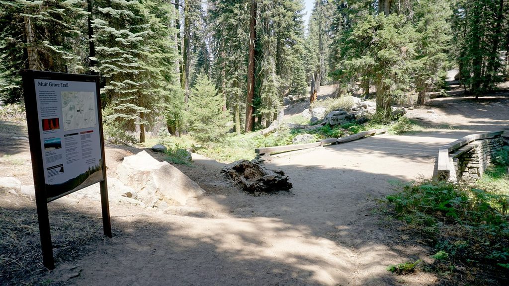
34 mi awayMuir Grove TrailQuiet forest walk to a pristine sequoia grove with granite views.Moderate · 4 mi · 2.5 hr
34.4 mi awaySilliman Pass South TrailSteady Lodgepole climb to lakes, views, and off trail optionsModerate · 4.9 mi · 0 min
34.4 mi awayTwin Lakes TrailSteady forest climb to granite-rimmed alpine lakes; tough final miles.Challenging · 13.3 mi · 7.2 hr