Pros & cons
PROS
- A reliably quiet, less-visited sequoia grove compared to the park’s headline areas
- Granite dome vantage mid-route for wide Sierra views
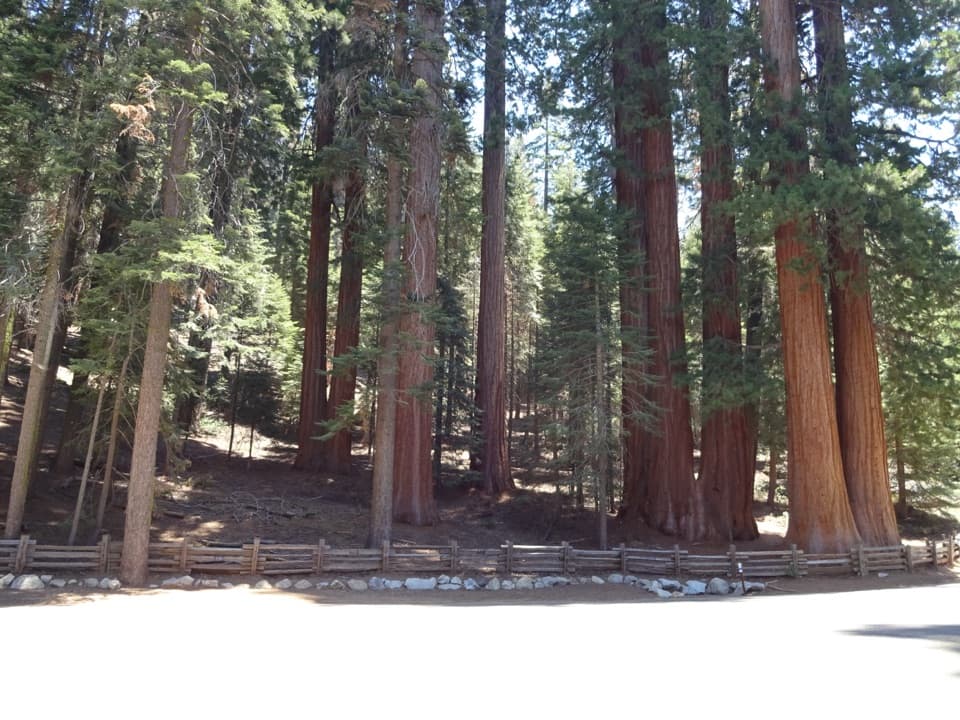
- Photogenic ring of sequoias with seasonal lupine bloom
CONS
- Trailhead closure adds about 2 miles of road-walk when the campground is closed
- Path becomes faint beyond the main grove, easy to wander off-route
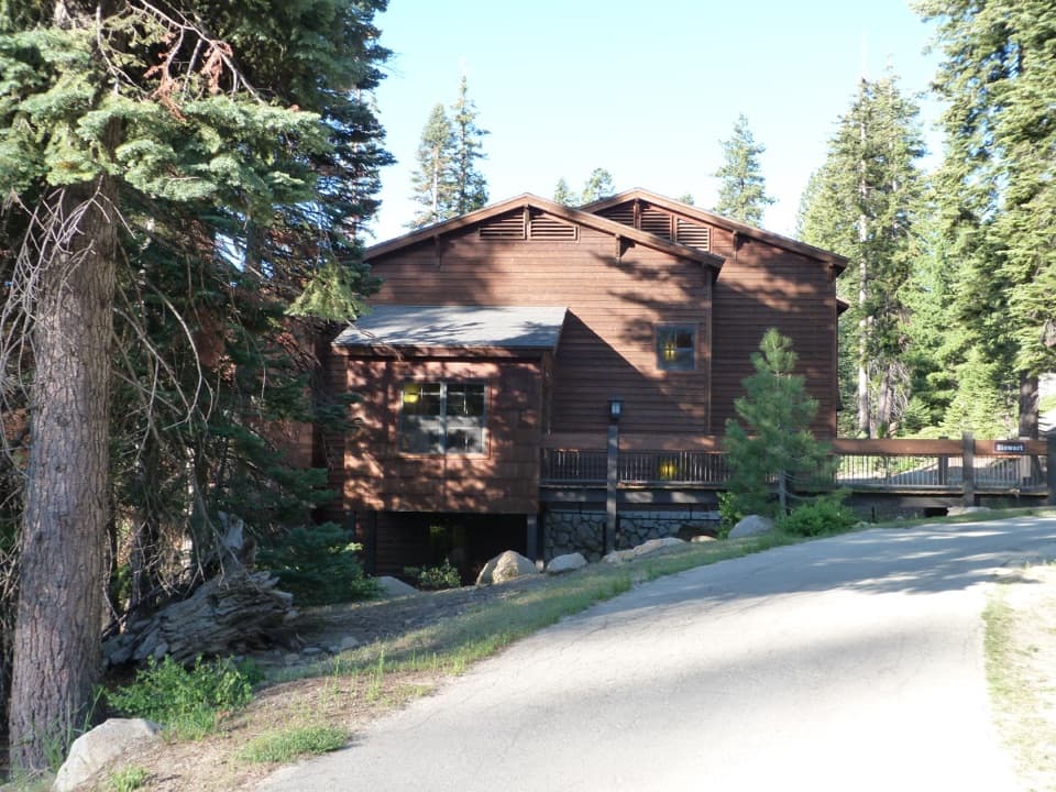
When Dorst Creek Campground is open, park near the group sites/amphitheater inside the campground (limited spaces). If closed, park along the Generals Highway by the campground entrance; this typically adds ~2 miles round-trip. Facilities (toilets, water) are available only when the campground is open.
Campground closures are common outside summer and can add mileage. The final approach and any ridgetop exploration have faint tread—download an offline map and turn back if unsure. Small creek crossings, occasional downed trees, and shaded, early-fading light in the grove. No dogs on trail.
Overview
This is the quiet sequoia experience most visitors miss. The Muir Grove Trail is an out-and-back walk of about 4.0 miles total from Dorst Creek Campground, rolling through shady mixed-conifer forest to an intimate, old-growth sequoia grove. Expect a gentle but steady pattern of little ups and downs rather than one big climb—moderate overall.
What You’ll See
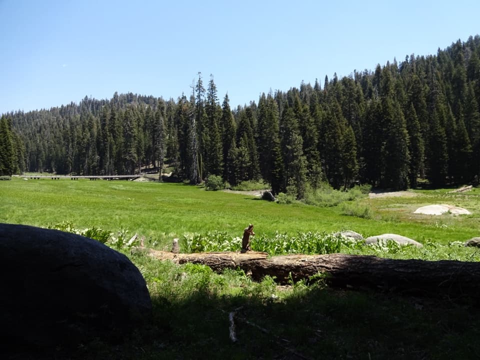
The approach is classic Sierra: burbling creeks, granite outcrops, and lush forest. About halfway, a low granite dome offers broad views toward Big Baldy and Chimney Rocks—worth a short detour onto the rock. You won’t see sequoias on the approach; the payoff comes at the grove: a massive sequoia with a broken top and a striking ring of red-barked giants. In mid-summer, lupines often bloom around the grove, adding a splash of color.
Fire and Trail Character
The ridge at Muir Grove was intentionally burned in 2021 as a protective measure during the KNP Complex Fire. The visible effects are minimal along the main route; the sequoias look much as they did before. Past the “ring,” the path can fade into a faint, unofficial ridgetop use trail—turn around where you feel comfortable navigating.
Access and Parking
The official trailhead sits inside Dorst Creek Campground near the group sites (the cutoff near Group Camp E is a handy start). Parking is limited when the campground is open. If the campground is closed, you’ll need to park along the Generals Highway by the entrance, which typically adds about 2 miles to your day. In peak summer, a free shuttle has historically served Dorst—helpful when running—but don’t bank on it without confirming current operations. When Dorst is open, you’ll usually find flush toilets and potable water nearby.
Best Time to Hike
Late spring through fall is the sweet spot; winter snow and road closures can block access. Mid-summer heat is mitigated by abundant shade, but that same shade means the grove loses direct light earlier in the afternoon—arrive earlier if you want sunlit trunks. Crowds are consistently low here compared to Giant Forest or Grant Grove, which is a big part of the appeal.
Tips
Carry your own water—creeks aren’t reliable for refilling. Download an offline map; the final approach and any ridgetop wandering can be faint. No wilderness permit is needed for day hiking. Pets aren’t allowed on this trail. If you want boardwalks and named giants, head to Giant Forest; if you want solitude among enormous trees, Muir Grove is the better bet.
Elevation
4 mi · 2.5 hrWhere it starts
36.6340, -118.8174Near Muir Grove Trail
All places →All trails →
0.6 mi awayDorst Creek CampgroundShady creekside basecamp with flush toilets near Muir GroveCampground · Restroom
1.1 mi awayMuir GroveQuiet sequoia grove via a mellow forest hike and granite viewsScenic Viewpoint
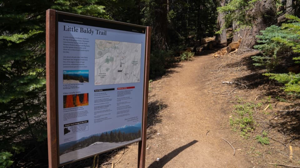
1.1 mi awayLittle Baldy TrailQuieter granite dome with big 360-degree views for modest effortModerate · 3.3 mi · 1.8 hr
1.3 mi awayLost GroveRoadside grove of giant sequoias with a rough, quiet trailPullout · Parking
1.5 mi awayLittle BaldyShort hike to a granite dome with big 360-degree Sierra viewsTrailhead · Parking
3.4 mi awayCrystal Cave TrailShort, steep walk to a marble cavern with guided tours.Moderate · 1 mi · 45 min
5.1 mi awayGeneral Sherman Tree TrailShort paved walk to the world’s largest tree—downhill out, uphill backEasy · 1 mi · 42 min
5.1 mi awaySherman Tree TrailPaved stroll to Earth’s largest tree, with a huff on the way back.Easy · 1.1 mi · 36 min