Parking
Use the day-hiker parking area beside the Lodgepole bus stop. Cross the Marble Fork Kaweah bridge, pass the Tokopah Valley Trail, then follow the signed Twin Lakes Trailhead about 30 yards farther on.
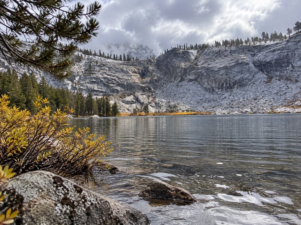
Sequoia National Park, CA
Worth the long pine climb for two quiet high Sierra lakes.
Overview
Map & elevation
Plan your hike

The highest, rockiest slopes around here are a summer buffet for grizzly bears.
Sequoia Tour Guide
Parkwolf is a GPS audio tour guide for Sequoia National Park. As you drive, it chimes in with what’s ahead: hidden gems, upcoming stops, history, geology, and wildlife, right through your car’s speakers.
See the Sequoia audio tourRecorded for this trailhead
Lodgepole and Tokopah Falls“Lodgepole is coming up, where the trail to Tokopah Falls follows the river into a glacier-carved granite canyon.”
Plays as you drive up to this trailhead in the Parkwolf Sequoia Tour Guide.
More stories near here in the app
“…The kids and my husband and I all agree that the narration really added to our experience driving through the parks. We learned so much about the history and the flora & fauna.”


Trail guide
Twin Lakes Trail is a 13.6-mile out-and-back from Lodgepole Campground to two glacially formed lakes, about 6.8 miles each way. It climbs roughly 3,000 feet; allow about eight hours. This is a full-day choice for hikers who want a quieter lake basin, but the best scenery arrives late. Most of the approach stays in forest, so it can feel like a long way to earn the lakes.
Start at the signed trailhead in Lodgepole, just beyond the Tokopah Valley Trail. The path climbs through open Jeffrey pine and incense cedar, then eases and bends north after about a mile into a dense fir canopy. GPS can be unreliable under those trees. You’ll hear water for much of the walk and cross several streams; Silliman Creek is about 2.3 miles from the start.
A brief view of Cahoon Meadow opens to the left around 2.7 miles. It is also the first allowed overnight campsite, at about 3 miles. From there the trail climbs to Cahoon Gap, then drops a little over 200 feet into a wooded creek valley. A faint track branches left toward J.O. Pass; stay with the Twin Lakes trail. The forested valley makes a useful breather before the final climb.
After the creek junction, the trail turns north and climbs on long switchbacks beside the East Fork. Dense upper-montane forest alternates with thinner, rockier patches; around 5.8 miles, the creek tumbles over fractured granite. The tread is not blazed above the Wuksachi cutoff. Snow can linger into summer and return as early as October, and when it covers the path, route-finding gets difficult.
The trail levels in a wooded strip between the lakes at about 6.8 miles. The larger lake is visible to the right from the tread; the smaller one is partly screened, a short walk through trees to the left. Granite, water and the high basin finally replace the long forest approach, though this is a lake destination rather than an open summit view. The route continues toward Silliman Pass beyond the lakes, but that extension is a different, longer hike.
Day hikers do not need a wilderness permit. Overnight trips do, and permits for this trail are issued at the Lodgepole Visitor Center. Pets are prohibited on park trails. Choose this hike if you are happy to spend most of a day on the approach; if you only want a meadow walk, Long Meadow or Crescent Meadow are easier to reach and give you more meadow scenery for less effort.
Wildlife
 691 sightingsBlack BearMost seen around 6 PMSighting map
 17 sightingsMountain LionMost seen around 6 AMSighting map
 18 sightingsBobcatMost seen around 7 PMSighting map
 24 sightingsCoyoteMost seen around 7 PMSighting map
 15 sightingsGolden EagleMost seen around 11 AMSighting map
 20 sightingsSpotted OwlMost seen around 7 PMSighting map
Sighting maps show where each species has been reported across Sequoia. Wildlife moves, so no sighting is guaranteed.
Keep exploring
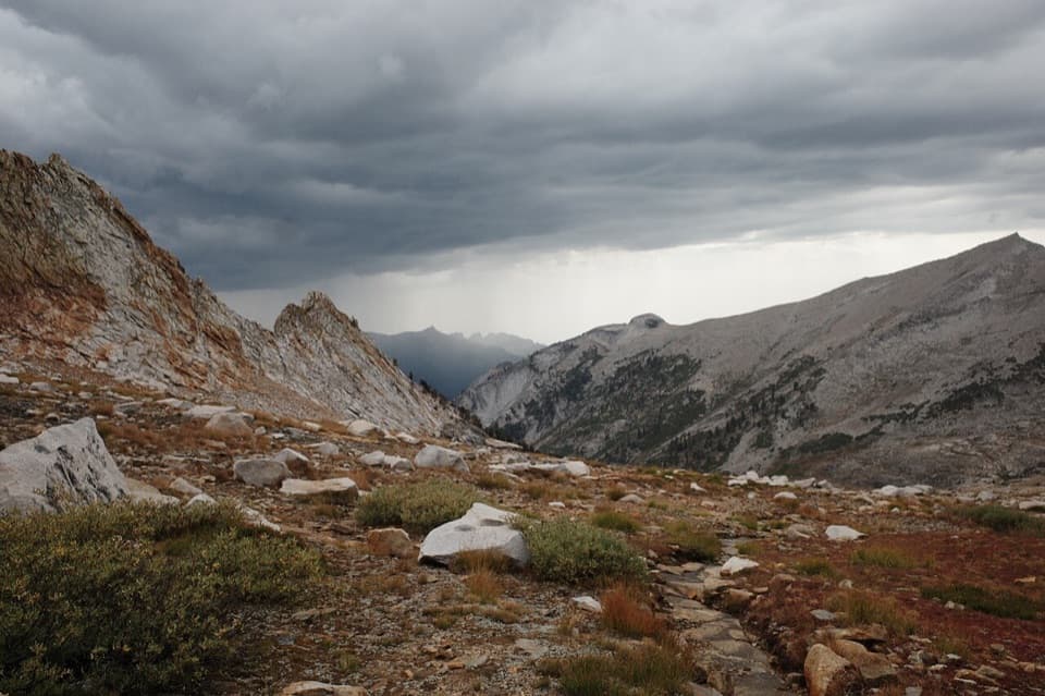 ChallengingDeadman Canyon Loop49 mi · 1.3 days · At the trailheadA six-day traverse from Lodgepole to Deadman Canyon’s granite headwall
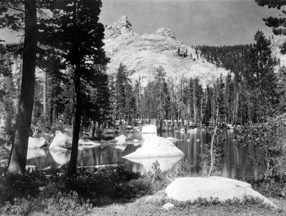 ChallengingSilliman Pass Trail15.4 mi · 10 hr · At the trailheadA long, strenuous hike to Twin Lakes and a wooded Sierra pass.
 ModerateTokopah Falls Trail3.8 mi · 2.3 hr · At the trailheadFollow the Marble Fork to a 1,200-foot granite cascade
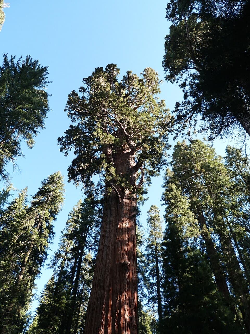 ModerateLodgepole–Sherman Tree Trail2.8 mi · 3.5 hr · 0.2 mi awayA 2.8-mile walk through sequoias to General Sherman Tree.
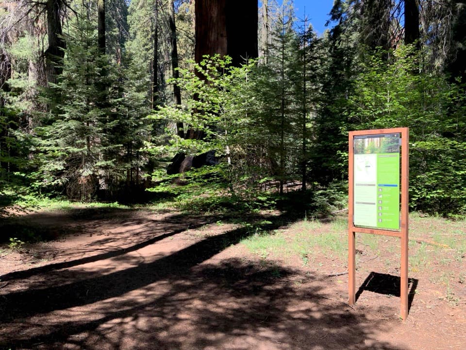 ChallengingAlta Winter Trail6.2 mi · 7 hr · 0.8 mi awayA winter ridge drops into Giant Forest's giant sequoias.
 ModerateLong Meadow Loop2.8 mi · 1.5 hr · 0.9 mi awayA quiet loop around a wet meadow where wildlife is the point.
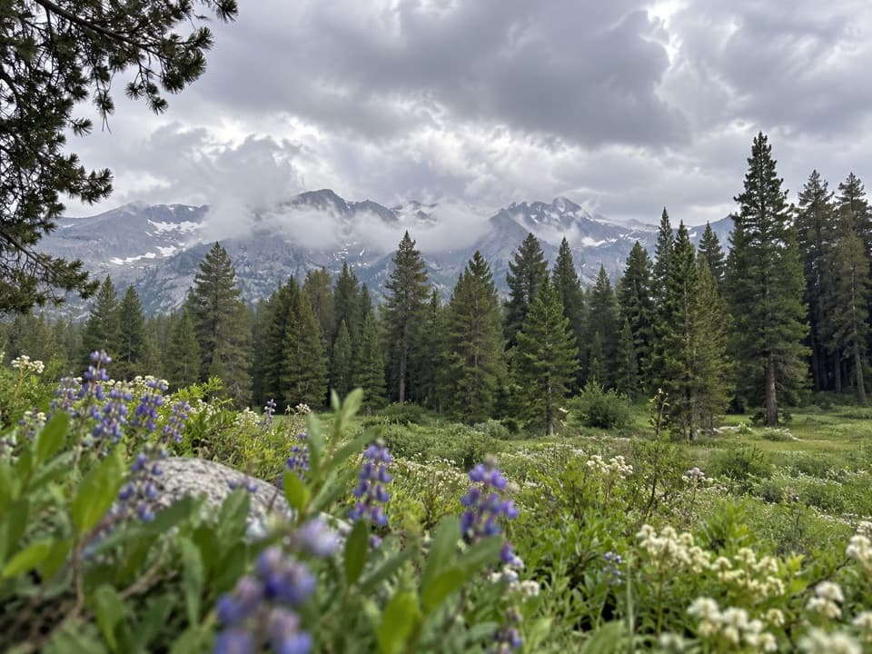 ChallengingAlta Meadow Trail13.1 mi · 7.5 hr · 0.9 mi awayA hard climb ends in a meadow beneath the Great Western Divide.
 ChallengingLakes Trail to Pear Lake12.8 mi · 7.5 hr · 0.9 mi awayFrom forest switchbacks to the glacial bowl around Pear Lake.
 Campground · 0.2 mi awayLodgepole CampgroundCamp beside the Marble Fork, with a shuttle to Giant Forest.
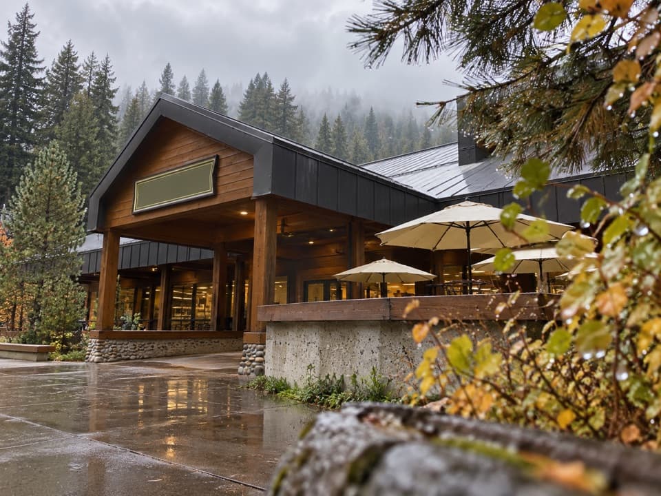 Store · 0.5 mi awayLodgepole Market CenterA high-country supply stop with groceries, a grill, showers, and laundry.
 Visitor center · 0.5 mi awayLodgepole Visitor CenterGet oriented before the big trees, with exhibits that travel by sound.
 Picnic area · 0.7 mi awayLodgepole Picnic AreaA shaded riverside picnic with Lodgepole's village services close by.
 Picnic area · 0.9 mi awayWolverton Picnic and Snowplay AreaA meadow picnic spot with winter snowplay when conditions allow.
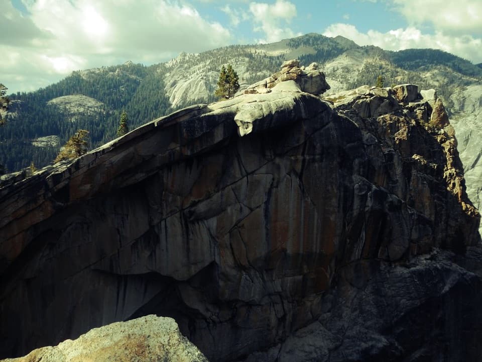 Sight · 1.3 mi awayThe Watchtower ViewpointA long climb pays off with Tokopah Falls far below.
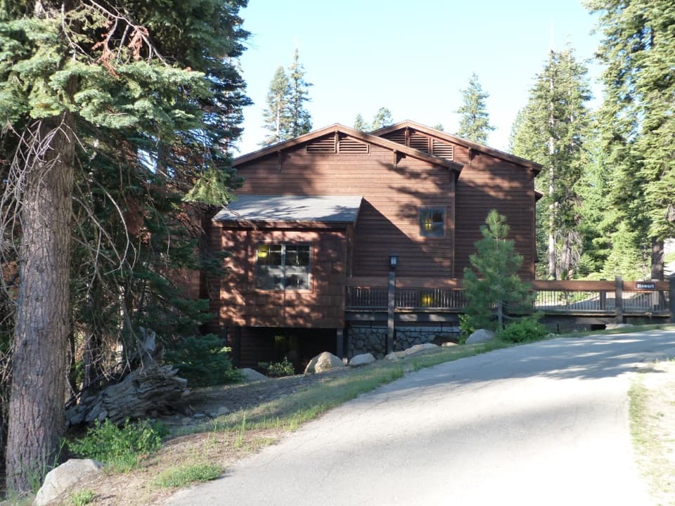 Lodging · 1.6 mi awayWuksachi LodgeA wooded, in-park base with meals and starry skies.
 Sight · 1.6 mi awayTokopah FallsA granite canyon walk ends at a 1,200-foot waterfall.
Parkwolf’s Sequoia ranking

The audio tour guide for the drive, plus offline maps, trails, and wildlife heatmaps for when the signal drops.




