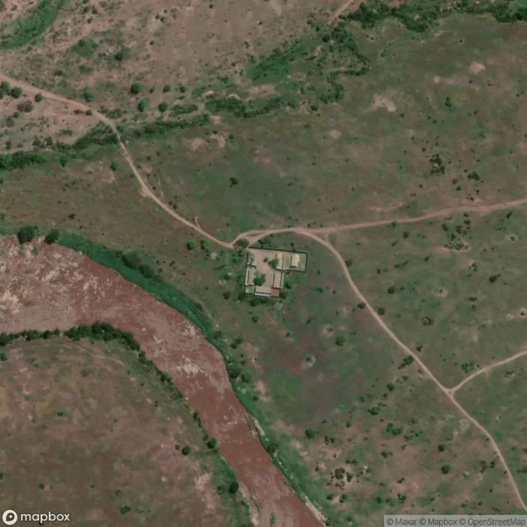
Lamai Ranger Post in Serengeti National Park

Ranger station · Serengeti National Park

Lamai Ranger Post

Ranger outpost for updates near prime Mara River crossings

Photo: Mapbox
Type
Ranger station
Audio stories
3 nearby

Hear the audio tour

Lamai Ranger Post: Your Source for Local Intel

Overview

About Lamai Ranger Post

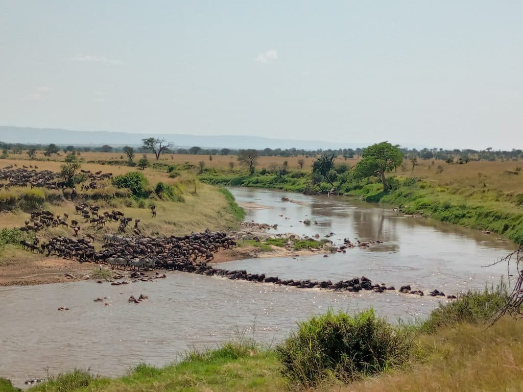
Often mapped as “Lemai,” the Lamai Ranger Post sits in the far‑north sector of the park near the Lamai Wedge and Mara River. It’s a working TANAPA post—useful, practical, and decidedly not a tourist attraction. Think of it as the place to check in with rangers for what’s happening on the ground around Kogatende and Lamai, especially during the migration.

Why stop

  • Reliable stop for current road, bridge and river‑crossing updates
  • Rangers can arrange armed escort for designated special campsites nearby

Heads up

  • Not a tourist facility; no public restaurant or services beyond basics
  • You cannot cross into Kenya here; the nearby border crossing is closed

Map

Where it is

Loading the Serengeti map
Full map
Ranger stationLamai Ranger Post-1.55726, 34.69010
Keep this map with you offline in the Parkwolf app

Local know-how

Tips for visiting Lamai Ranger Post

  1. Pack your own food; picnic tables and ablutions are at Kogatende Airstrip, not the post.

  2. Ask rangers about the seasonal Kogatende bridge status before planning any crossings.

  3. If coming from Kenya, plan to fly or use official border posts—there’s no direct crossing here.

  4. Have a Visa card handy if paying park fees on the Kogatende side.

  5. Most visitors fly to Kogatende and drive 30–45 minutes to Lamai‑area camps.

Plan your stop

Before you go

Best time to visit

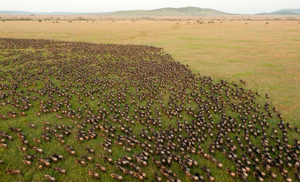
If river crossings are your goal, aim for July–October when activity peaks along the Mara River. Outside those months, it’s still a smart stop for on‑the‑ground updates before you head out on game drives. Weekday vs. weekend matters far less here than migration timing and daily road/bridge conditions—check with rangers first.

A park ranger sits on a dash-mounted phone, talking, as Parkwolf’s Tour Guide plays “Army Cutworm Moths: A Grizzly Bear Buffet” on Grand Loop Road below Dunraven Pass in Yellowstone
Parkwolf Tour GuideThe highest, rockiest slopes around here are a summer buffet for grizzly bears.

Serengeti Tour Guide

Your drive to Lamai Ranger Post, narrated.

Parkwolf is a GPS audio tour guide for Serengeti National Park. As you drive, it chimes in with what’s ahead: hidden gems, upcoming stops, history, geology, and wildlife, right through your car’s speakers.

See the Serengeti audio tour

Recorded for this place

Lamai Ranger Post: Your Source for Local Intel
Listen
“The buildings you're seeing are part of the Lamai Ranger Post. While it's a working operations base and not a tourist spot, it's the best place to get real-time intel.”

Plays as you drive up to Lamai Ranger Post in the Parkwolf Serengeti Tour Guide.

More stories near here in the app

  • The Vulture Pecking Order
  • Lamai Triangle: Crossings Without the Crowds
  • 132 audio storiesacross Serengeti’s roads, triggered by GPS as you drive
  • Wildlife heatmapsfor Lion, Leopard, Cheetah, and 13 more
  • Works offlinemaps, 1 trails, 84 places, and audio download before you lose signal
  • CarPlay readysimple controls built for the drive
★★★★★
“Fantastic app with many points of information… It’s great to just turn on while you’re driving and it gives you an audio tour of the national Park. We love it!!!!”
JMJamesApp Store review
Download Parkwolf on the App StoreGet Parkwolf on Google Play

4.7 from 8,600+ ratings

Guide

More about Lamai Ranger Post

What You’ll Find (and Won’t)This is an operations post, so expect function over frills.

This is an operations post, so expect function over frills. Rangers here focus on patrols and protection, and they’re the people to ask for the latest on road conditions, river‑crossing activity, and whether the seasonal bridge near Kogatende is passable. They can also arrange an armed ranger if you’re using designated special campsites in the area. There’s no public restaurant; most visitors bring packed meals and use the picnic tables by Kogatende Airstrip, where there’s also a basic ablution block.

Getting There & PracticalitiesMost travelers reach this area by flying into Kogatende Airstrip and then driving into the…

Most travelers reach this area by flying into Kogatende Airstrip and then driving into the Lamai/Kogatende sector; typical transfers to Lamai‑area camps run about 30–45 minutes depending on track conditions. If you’re approaching from Kenya, note that the direct crossing at Bologonja/Sand River remains closed—plan to fly or use official border posts well to the west.

Wildlife & Landscape ContextThe Lamai Wedge—between the Mara River and the Kenya border—is prime territory for July–October…

The Lamai Wedge—between the Mara River and the Kenya border—is prime territory for July–October river crossings and is typically less crowded than areas south of the river. The landscape mixes sweeping grasslands with classic kopjes: ancient granite/gneiss outcrops that rise like islands from the plains, with soils influenced by volcanic ash from the highlands. It’s a dramatic, wildlife‑rich corner of the park, and the ranger presence here is strong because of it.

Wildlife

Wildlife in Serengeti

All Serengeti wildlife maps

Sighting maps show where each species has been reported across Serengeti. Wildlife moves, so no sighting is guaranteed.

Parkwolf’s Serengeti ranking

Top sights in Serengeti

All 84 places
  1. 1Serengeti National ParkSight
  2. 2KogatendeSight
  3. 3SeroneraSight
  4. 4Seronera RiverSight
  5. 5Kogatende Mara River BanksSight
  6. 6Lamai WedgeSight

Take Parkwolf to Serengeti.

The audio tour guide for the drive, plus offline maps, trails, and wildlife heatmaps for when the signal drops.

4.7 from 8,600+ ratings

Download Parkwolf on the App StoreGet Parkwolf on Google Play