
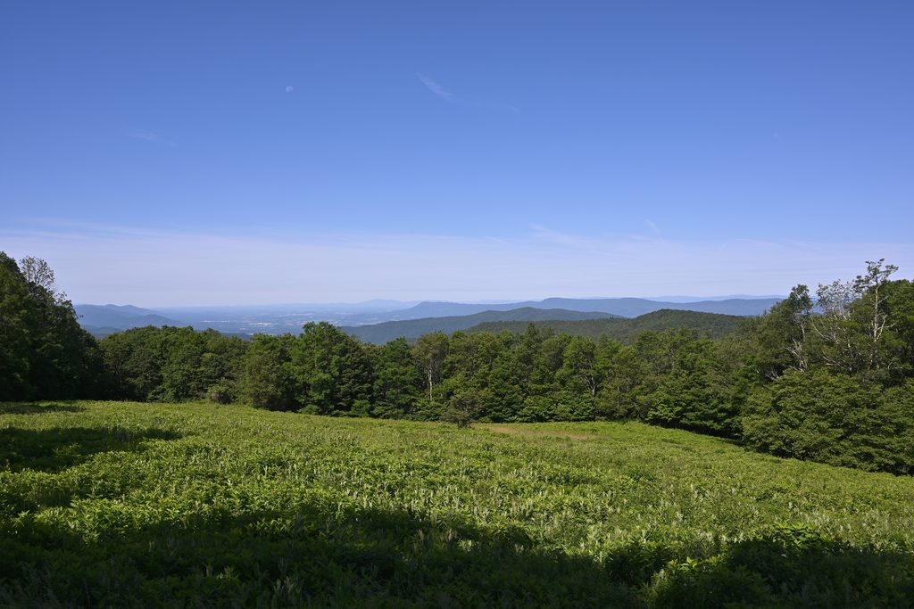
Place · 0.5 mi away
Moderate
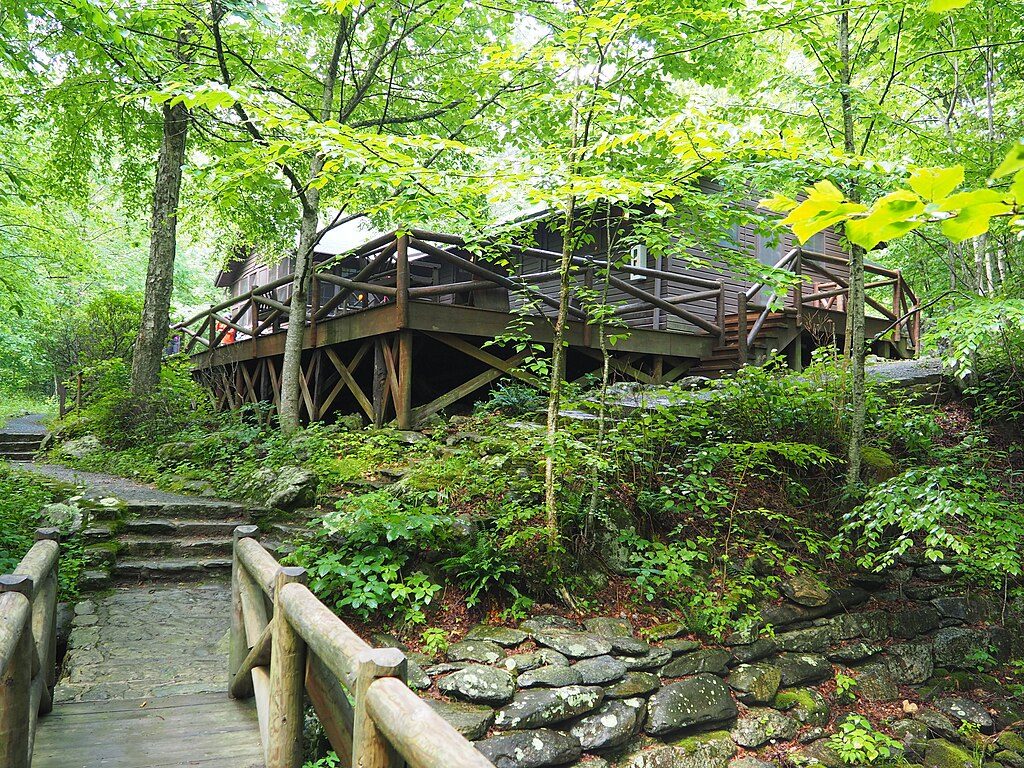
A short, rewarding Blue Ridge stream walk that ends at President Herbert Hoover’s rustic retreat. Expect a cool, shaded forest, lively water, and a legit dose of history at the destination.
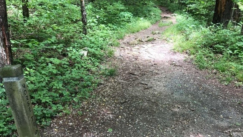
From Milam Gap (milepost 52.8 on Skyline Drive), follow the Appalachian Trail briefly to the blue‑blazed Mill Prong Trail. The path descends steadily through hardwood forest toward Mill Prong, with ferns and (in spring) wildflowers popping along the way. You’ll parallel the creek for long stretches, crossing it several times on rocks and one footbridge near the bottom. At the second stream crossing, bear right onto the yellow‑blazed Mill Prong Horse Trail to reach Rapidan Camp.
This is roughly 4.0 miles total, out‑and‑back, with about 850–870 feet of elevation regained on the return. Translation: it’s easy going down; pace yourself for the climb back up to Milam Gap. Most hikers simply retrace their steps, but you can mix the Mill Prong and Horse Trail segments for a small lollipop feel.
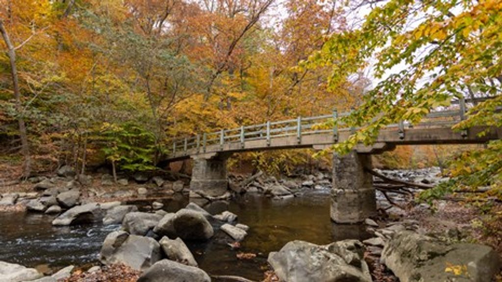
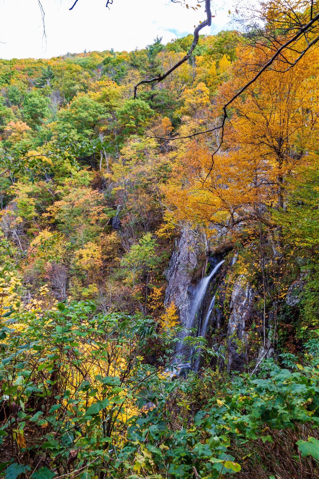
The star is water: clear pools, riffles, and small cascades that stay photogenic even in dry spells. The forest is classic Shenandoah—mature hardwoods with a lush understory in spring and summer, and excellent foliage in fall. Wildlife sightings are common along the creek.
At Rapidan Camp you can wander among restored historic cabins—like the Brown House and the Prime Minister’s Cabin—and read interpretive signs that bring Hoover’s “summer White House” era to life. In season, the park may offer tours; check current info before you go.
Yes—this is one of Shenandoah’s better moderate hikes if you like water and history without a full‑day commitment. If you want bigger waterfalls, Rose River or Dark Hollow deliver more splash, but they won’t give you a presidential retreat at the turnaround.
Milam Gap parking area on Skyline Drive (MP 52.8). Arrive early on weekends; pit toilets available.
Multiple shallow stream crossings with slick rocks; expect a sustained uphill return. Sections may be icy in winter. Portions use a horse trail—yield to equestrians.
Place · 0.5 mi away
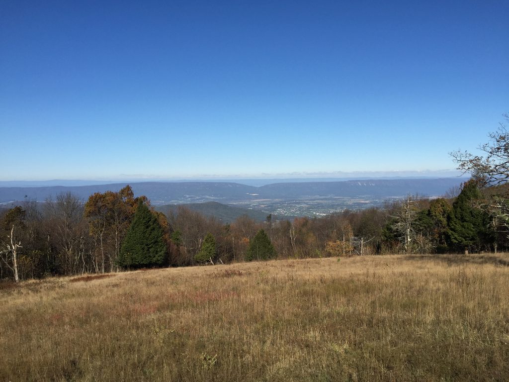
Place · 1.1 mi away
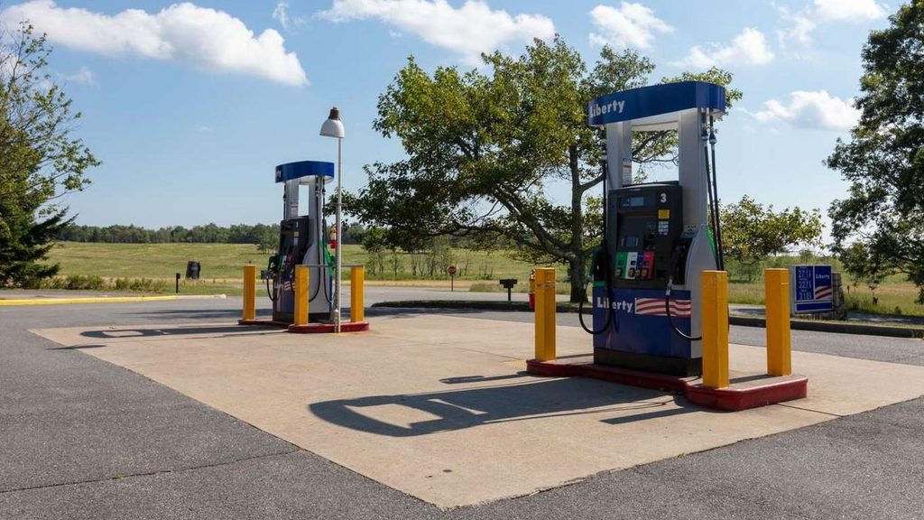
Place · 1.2 mi away
Place · 1.2 mi away
Moderate · 0 mi away
Moderate · 0 mi away
Easy · 1.3 mi away
Moderate · 1.3 mi away

Parkwolf Tour Guide
