
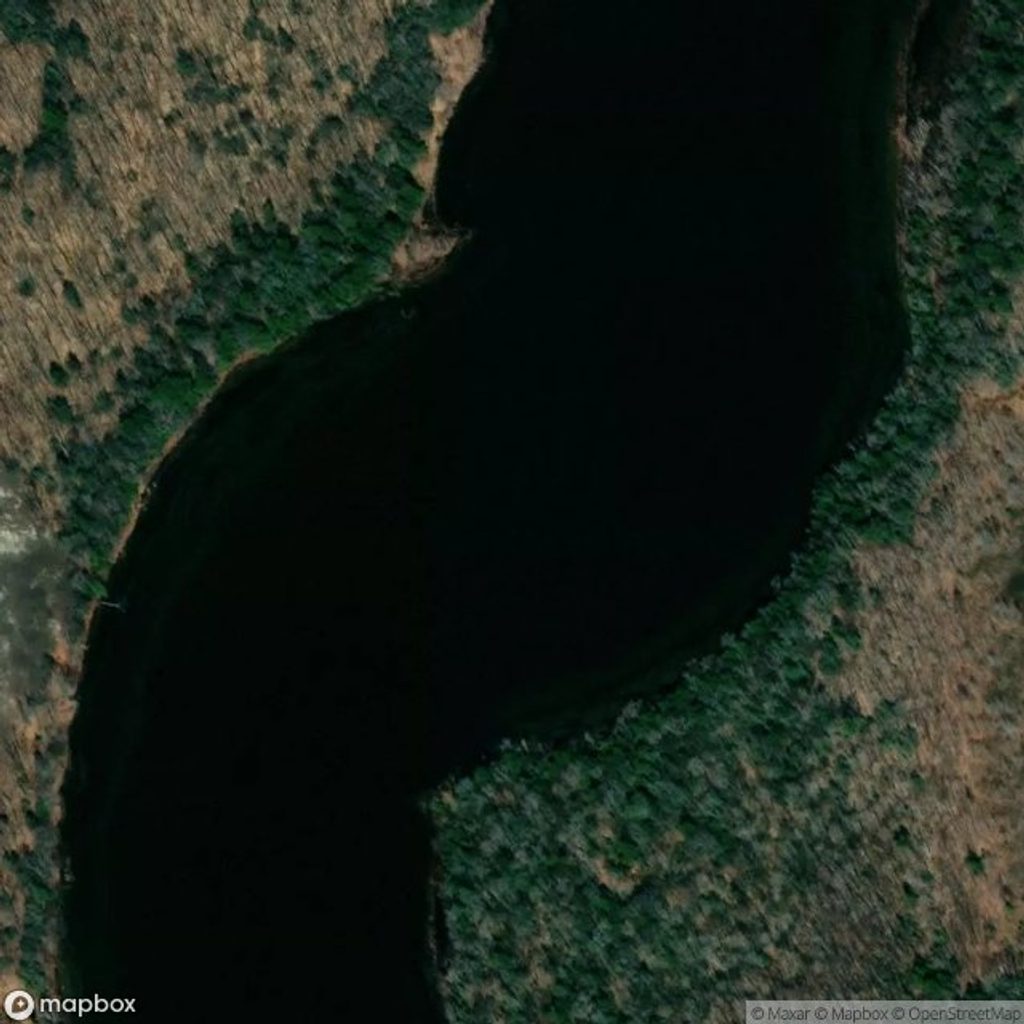
Place · 0.7 mi away
Easy
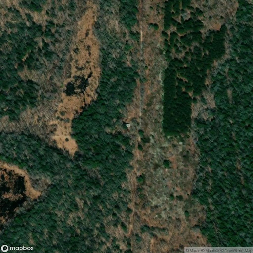
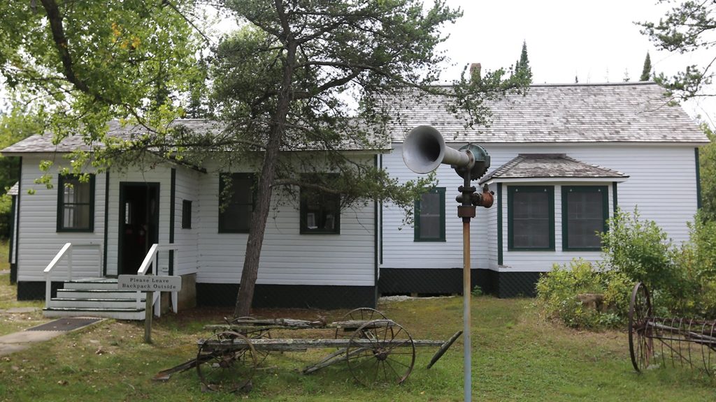
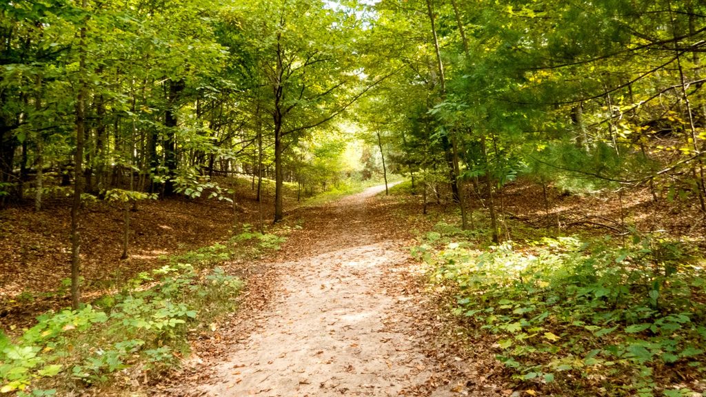
This is a gentle, history-forward walk from the South Manitou Island village area along Ohio Road to the island’s one-room schoolhouse. Expect rolling terrain through old farm fields and patches of forest, with a peaceful, time-capsule feel. It’s an easy outing with a big payoff if you like cultural sites over climbs.
Plan on roughly 2.6 miles round-trip (about 1.3 miles each way), out-and-back. Most hikers take about 1–1.5 hours, including time to poke around the schoolhouse and pause at interpretive signs. The grade is mellow with minimal elevation gain and a mostly smooth, natural surface—packed earth and grass with occasional sandy stretches. It’s not paved and not wheelchair accessible.
The route traces the island’s rural interior: old fields, traces of early farms, and the 1899 schoolhouse that doubled as a community gathering spot. If you’re feeling curious, continue north beyond the schoolhouse to the island cemetery (about another mile), which adds context to the island’s settlement era. In season, expect wildflowers and steady lake breezes; wildlife sightings are possible.
If you’re drawn to stories and scenery over sweat, yes. It’s an underrated way to feel the island’s quiet character without tackling strenuous dune climbs. There’s a strong sense of solitude compared to busier mainland hikes, and the cultural touchpoints keep it engaging for families and casual walkers.
South Manitou’s interior reflects glacial shaping—sandy soils, glacial till, and gentle slopes. That geology, plus a patchwork of fields and woods, makes for easy footing and a relaxed pace.
Late spring through early fall offers the best conditions. Wildflowers peak late spring into summer; fall tends to be less buggy and brings color. Factor in the island’s seasonal ferry schedule when planning.
Begin from the South Manitou Island village/dock area; there is no vehicle parking on the island—arrive via seasonal ferry and walk from the dock.
Open stretches mean sun exposure; mosquitoes can be notable in early summer; no water or services on route; natural surface with some sand; ferry access is seasonal; pets are not allowed on the island.
Place · 0.7 mi away
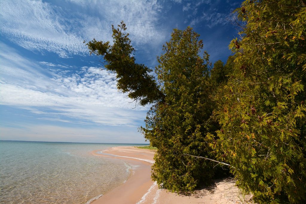
Place · 0.9 mi away
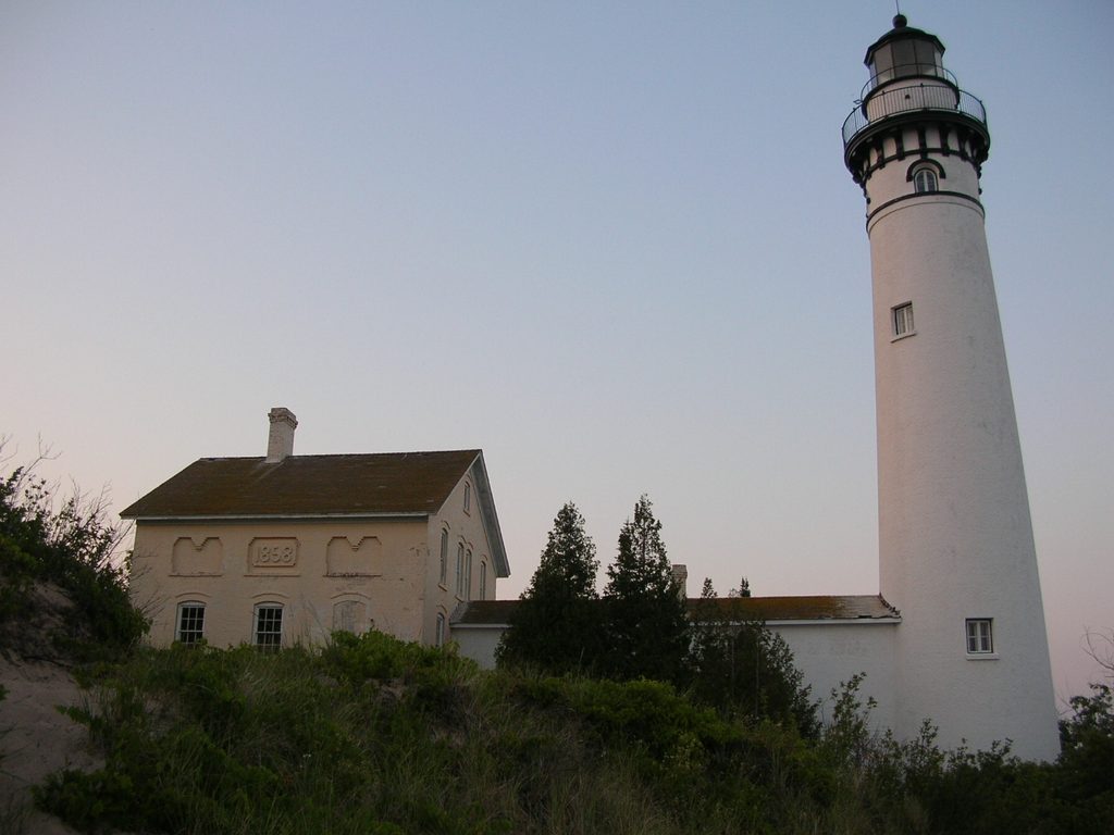
Place · 1.2 mi away
Place · 1.2 mi away
Challenging · 8.3 mi away
Moderate · 9.8 mi away
Moderate · 9.9 mi away
Moderate · 10 mi away

Parkwolf Tour Guide
