Parkwolf Tour GuideThe highest, rockiest slopes around here are a summer buffet for grizzly bears.
Sleeping Bear Dunes Tour Guide
Sleeping Bear Dunes, narrated.
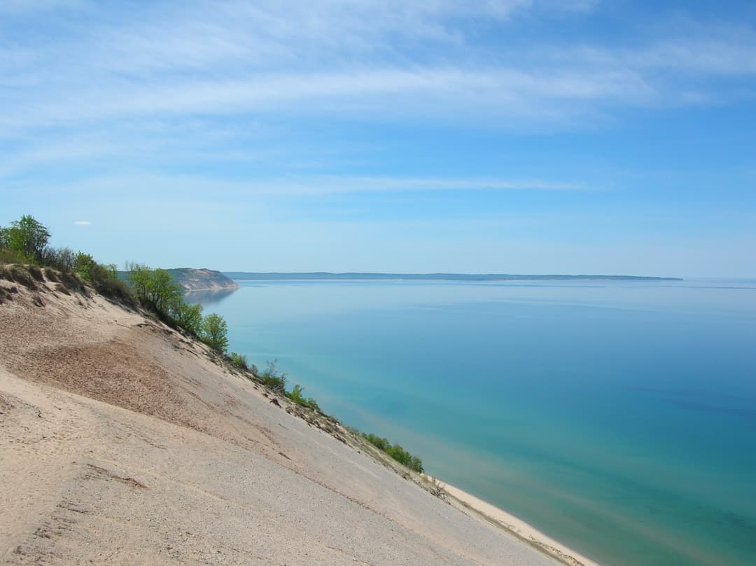
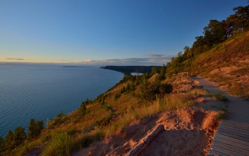
Parkwolf is a GPS audio tour guide for Sleeping Bear Dunes National Lakeshore. As you drive, it chimes in with what’s ahead: hidden gems, upcoming stops, history, geology, and wildlife, right through your car’s speakers.
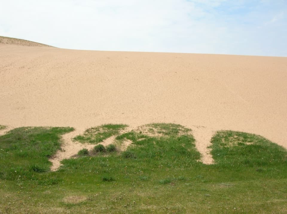
“You're coming up on the Dune Climb, where you can get onto the open sand without committing to a long hike.”
Plays as you drive up to Dune Climb in the Parkwolf Sleeping Bear Dunes Tour Guide.
More stories near here in the app
Little Glen Lake Picnic Area: A Lakeside Break
Dune Overlook: The View Without the Sand Walk
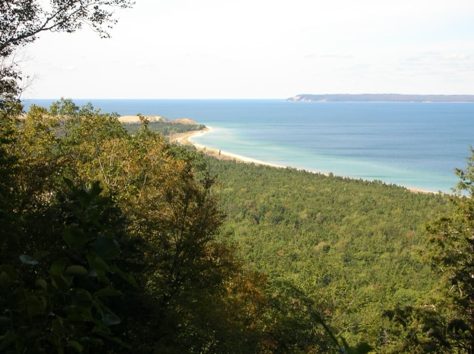
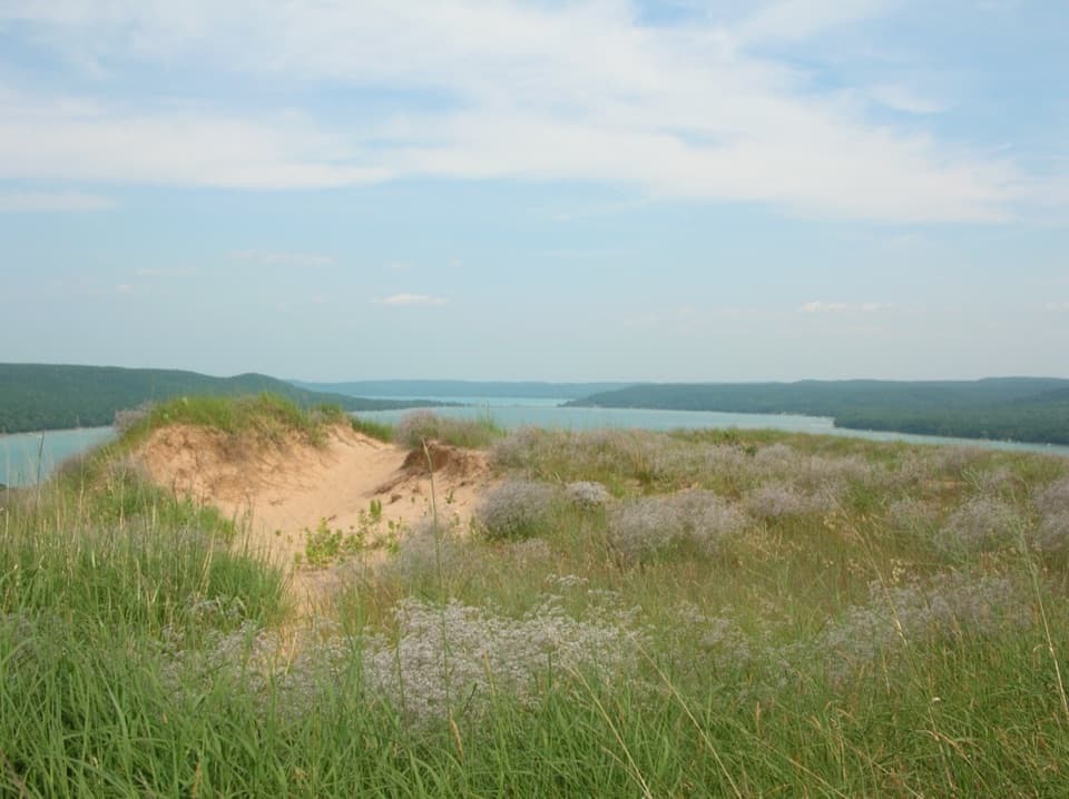
Glen Lake Overlook: Two Lakes, Two Blues
When the Lake Sloshes
73 audio storiesacross Sleeping Bear Dunes’s roads, triggered by GPS as you drive
Wildlife heatmapsfor Piping Plover, Bald Eagle, White-tailed Deer, and 13 more
Works offlinemaps, 34 trails, 89 places, and audio download before you lose signal
CarPlay readysimple controls built for the drive
★★★★★
“Fantastic app with many points of information… It’s great to just turn on while you’re driving and it gives you an audio tour of the national Park. We love it!!!!”
ClosureManitou Islands closed during dock constructionNorth and South Manitou Islands have major access and facility closures during dock construction; the passenger ferry will not operate in 2026.Official details
CautionHunters may be present during fall seasonsHunters may be present in Sleeping Bear Dunes while fall hunting seasons overlap with visitor use. - Several Michigan hunting seasons overlap and begin in mid-September.Official details