Parking
Use the Pyramid Point Trailhead gravel lot off South Basch Road. A vault or composting toilet is available; water is not listed among the amenities. A park entrance pass is required.
#2 of 34 trails in Sleeping Bear Dunes
Sleeping Bear Dunes National Lakeshore, MI
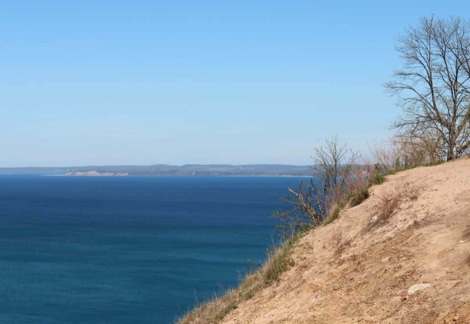
A short climb, then a bluff view across the Manitou Islands.
Overview
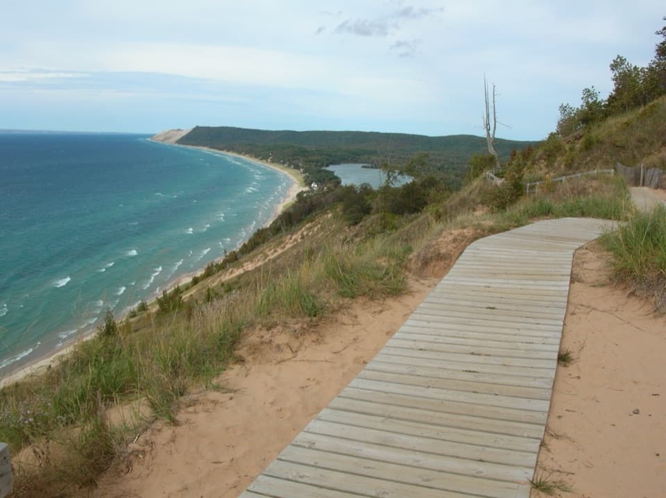
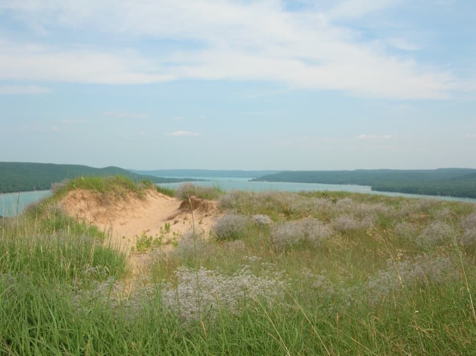
At the top, Lake Michigan opens toward North and South Manitou Islands. Look for North Manitou Shoal Light, nicknamed the Crib; from here it can look like a large white sail, and Great Lakes freighters sometimes cross the view. Shoals and changing water depths add bands of blue and green. From safe ground, frame the sandy bluff edge with the lake beyond it; do not step closer to the drop for a lower angle. The steep slope runs farther down than it appears, and descending it is unsafe and wears away the bluff. This is a viewpoint, not a route to the beach.
 Parkwolf’s verdictThe bluff is worth the climb
Map & elevation
Plan your hike

The highest, rockiest slopes around here are a summer buffet for grizzly bears.
Sleeping Bear Dunes Tour Guide
Parkwolf is a GPS audio tour guide for Sleeping Bear Dunes National Lakeshore. As you drive, it chimes in with what’s ahead: hidden gems, upcoming stops, history, geology, and wildlife, right through your car’s speakers.
See the Sleeping Bear Dunes audio tourRecorded for this trailhead
Pyramid Point: The Short Walk to the Islands View“You're nearing the Pyramid Point trailhead, where a short uphill walk opens onto Lake Michigan and the Manitou Islands.”
Plays as you drive up to this trailhead in the Parkwolf Sleeping Bear Dunes Tour Guide.
More stories near here in the app
“Fantastic app with many points of information… It’s great to just turn on while you’re driving and it gives you an audio tour of the national Park. We love it!!!!”


Trail guide
Pyramid Point Trail is a 2.7-mile loop from Basch Road with a short out-and-back spur to a bluff above Lake Michigan. The route climbs to the lookout, retraces to a junction, then continues through fields, meadows, and woods before returning along South Basch Road. The overlook is about 0.6 mile from the lot; turning back there makes a 1.2-mile round trip. For the fuller walk, continue at the junction and allow about 1.5 to 2 hours. The climb is the hard part: the National Park Service rates the trail moderate, and visitors often find the short approach steeper than the mileage suggests.
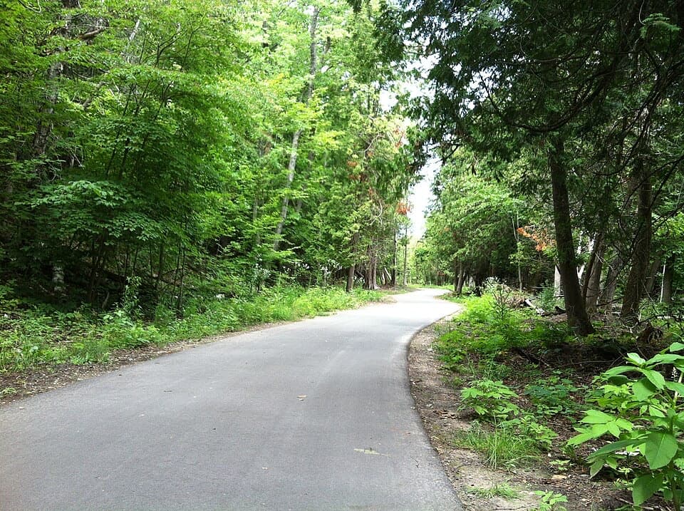
The approach moves between open old farm fields, meadow, beech-maple woods, and pine plantation. The steepest rise comes near the bluff, where the sandy tread can make the climb feel longer than it is. Take your time on the way up and leave enough energy for the loop. Many hikers turn around at the overlook, so you can get the main view without committing to the whole circuit. An connector between posts 2 and 3 shortens the full walk to about 2 miles; follow the signed junctions if you choose it.
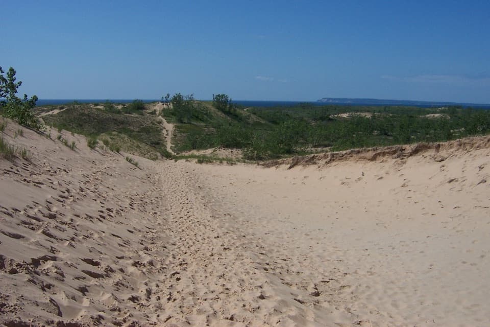
Beyond the overlook spur, the loop passes large sand bowls, wildflower meadows, and shaded, leafy forest. The changing scenery makes the full circuit feel like more than a return walk to the same view. Stay on the marked tread through the sandy areas. In autumn, the meadow loop is a good place to look for color, though the timing changes from year to year.
Start at Pyramid Point Trailhead off South Basch Road. The gravel lot has a vault or composting toilet; water is not listed among the amenities, so bring what you need. A park entrance pass is required. Leashed pets are allowed on the trail, with a leash no longer than six feet. The full loop's final 0.4 mile follows the quiet dirt surface of South Basch Road back to the lot, so watch for vehicles on that stretch. If road walking or the bluff edge is not for you, the 1.2-mile overlook out-and-back is a worthwhile shorter option.
Wildlife
 27 sightingsPiping PloverMost seen around 6 PMSighting map
 70 sightingsBald EagleMost seen around 10 AMSighting map
 56 sightingsWhite-tailed DeerMost seen around 6 AMSighting map
 68 sightingsSandhill CraneMost seen around 7 AMSighting map
 58 sightingsPorcupineMost seen around 8 PMSighting map
 31 sightingsLoonMost seen around 5 PMSighting map
Sighting maps show where each species has been reported across Sleeping Bear Dunes. Wildlife moves, so no sighting is guaranteed.
Keep exploring
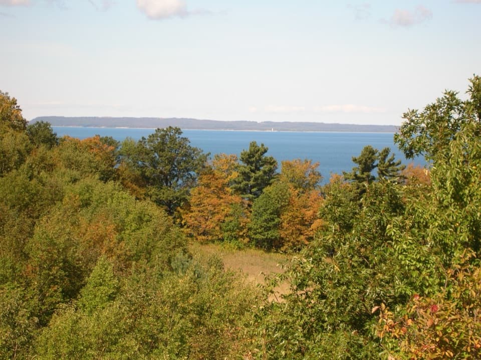 EasyBay View Farm Loop2.4 mi · 1.5 hr · 2.2 mi awayA 2.4-mile farm loop to a schoolhouse and Lake Michigan view.
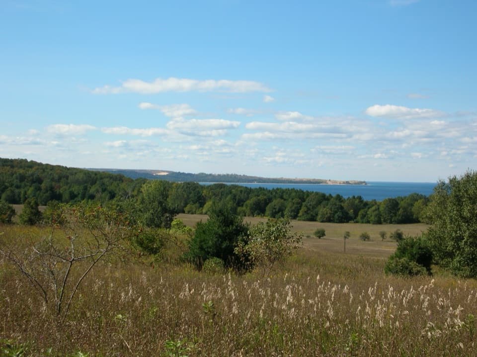 ModerateBay View Ridge Loop4 mi · 2.5 hr · 2.2 mi awayLake views, Port Oneida farm history, and one honest uphill pull.
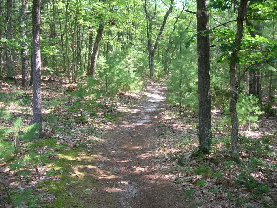 EasyGood Harbor Bay Trail2.8 mi · 1.5 hr · 4 mi awayDune grass gives way to quiet woods, wetlands and Lake Michigan access
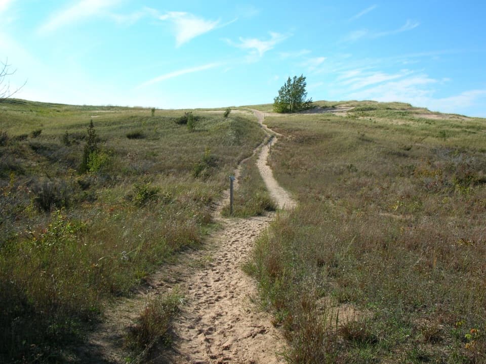 ChallengingSleeping Bear Point Trail2.8 mi · 2 hr · 6.5 mi awayGhost forest, open dunes, and Lake Michigan in one sandy loop.
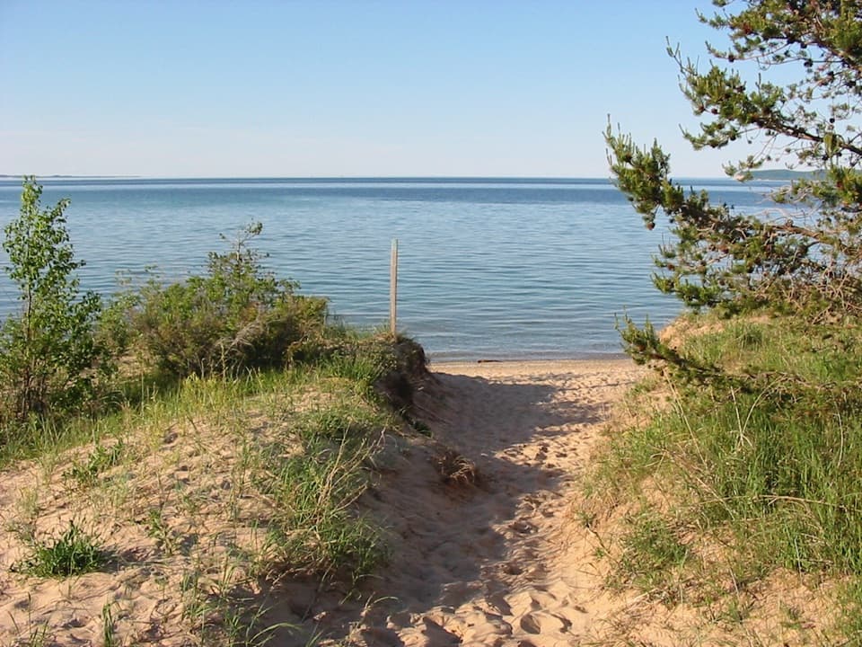 EasySleeping Bear Point Spur Trail0.7 mi · 36 min · 6.5 mi awayA quick sandy walk ends at the Lake Michigan beach.
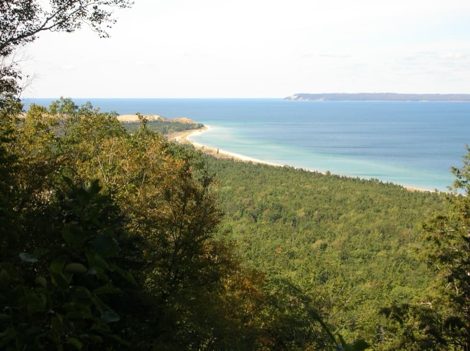 ModerateAlligator Hill Intermediate Loop4.7 mi · 2.5 hr · 6.7 mi awayA hilly forest loop to Islands Lookout and Manitou views.EasyAlligator Hill Easy Loop3 mi · 1.8 hr · 6.7 mi awayA forest climb opens onto Lake Michigan and the islands.ModerateAlligator Hill Advanced Loop4.6 mi · 2.8 hr · 6.7 mi awayFollow the steep southern loop to Islands Lookout above Lake Michigan.
 Sight · 0.5 mi awayPyramid Point OverlookA sandy climb opens to Lake Michigan and the Manitou Islands.
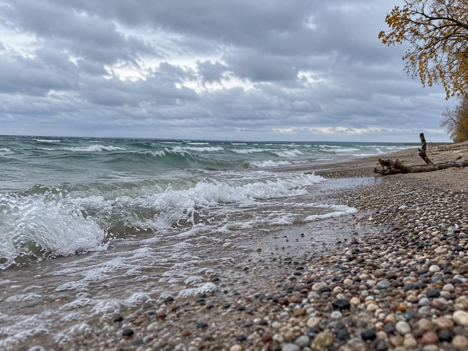 Beach · 0.5 mi awayNo Name Road BeachSoft Lake Michigan sand, reached by a long, steep staircase.
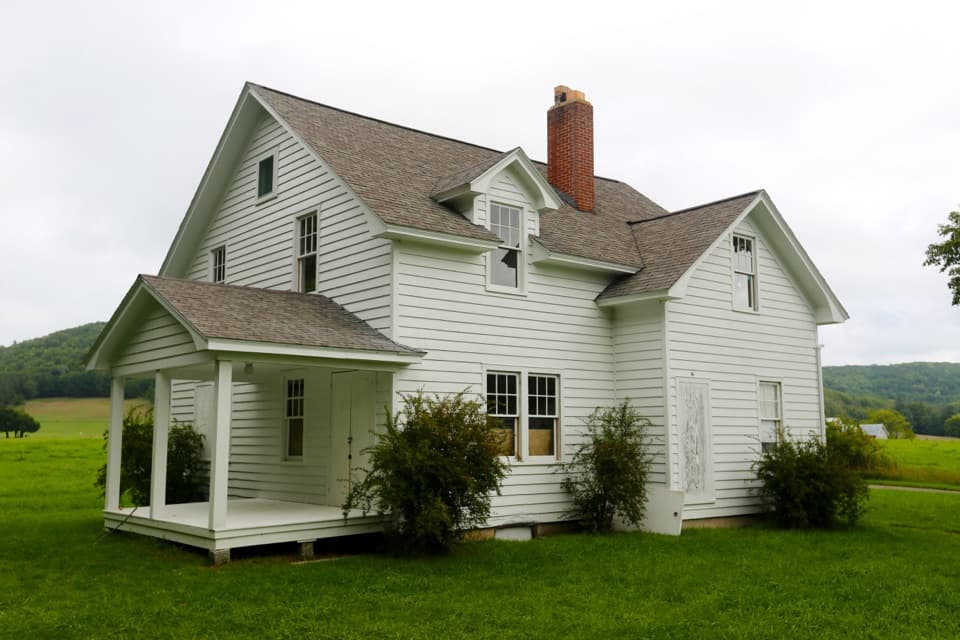 Sight · 0.9 mi awayCarsten & Elizabeth Burfiend FarmPort Oneida’s first non-Native homestead, still legible across the road.
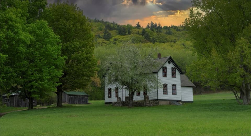 Sight · 1.1 mi awayMartin & Allay Basch FarmA farm stop with ornate gables and a sunburst porch detail.
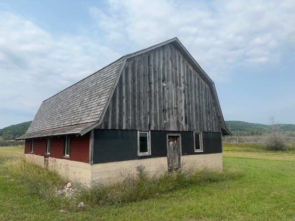 Sight · 1.1 mi awayFred & Grace Baker Pig BarnOld walnut timbers carry an older Port Oneida story into this barn.
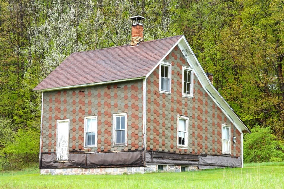 Sight · 1.2 mi awayGeorg & Flora Schmidt FarmA Port Oneida stop for patterned shingles and a memorable farm story.
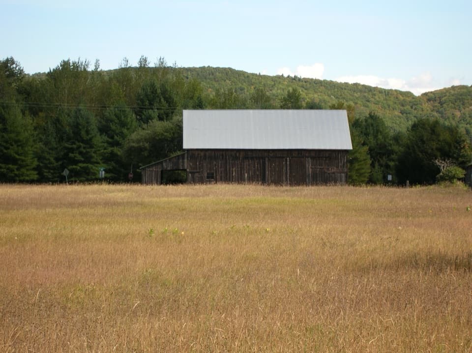 Sight · 1.5 mi awayJohn & May Burfiend BarnAn 1890s barn with the machinery behind Port Oneida’s farm history.
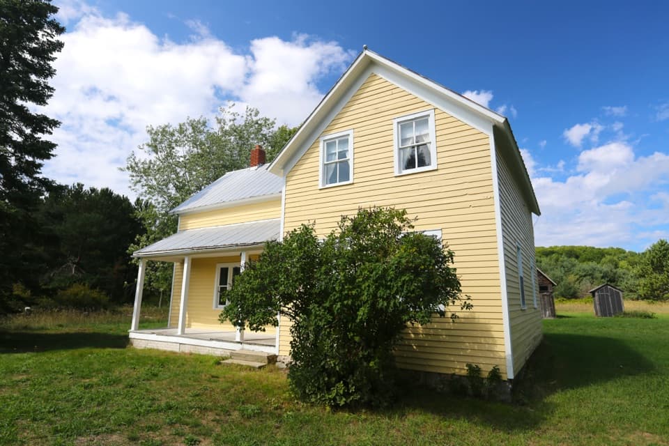 Sight · 1.6 mi awayHenry and Catherine Eckerdt FarmA Port Oneida farmstead with a community midwife's story.
Parkwolf’s Sleeping Bear Dunes ranking
The audio tour guide for the drive, plus offline maps, trails, and wildlife heatmaps for when the signal drops.