Parking
Use the gravel lot at the end of Sleeping Bear Dunes Road, west of the Maritime Museum. A National Lakeshore entrance pass is required.
#4 of 34 trails in Sleeping Bear Dunes
Sleeping Bear Dunes National Lakeshore, MI
Ghost forest, open dunes, and Lake Michigan in one sandy loop.
Overview
Map & elevation
Plan your hike

The highest, rockiest slopes around here are a summer buffet for grizzly bears.
Sleeping Bear Dunes Tour Guide
Parkwolf is a GPS audio tour guide for Sleeping Bear Dunes National Lakeshore. As you drive, it chimes in with what’s ahead: hidden gems, upcoming stops, history, geology, and wildlife, right through your car’s speakers.
See the Sleeping Bear Dunes audio tourRecorded for this trailhead
Sleeping Bear Point: Dunes Loop or Beach Walk“You're approaching the access to Sleeping Bear Point's trails, with the trailhead at the road's end beyond the Maritime Museum.”
Plays as you drive up to this trailhead in the Parkwolf Sleeping Bear Dunes Tour Guide.
More stories near here in the app
“Fantastic app with many points of information… It’s great to just turn on while you’re driving and it gives you an audio tour of the national Park. We love it!!!!”


Trail guide
This is a 2.8-mile loop over the sandy dune plateau, with open hills, a ghost forest, and a greener return through woods. The main payoff is how quickly the ground changes: exposed dune ridges look over Lake Michigan and the Manitou Islands, then the route heads inland through pale tree trunks and forest. Allow about two hours for the loop and stops. It is a good pick if you want to walk through the dunes rather than view them from the road, but the mileage understates the work. Published loop figures range from about 2.4 to 2.8 miles, while the mapped line measures roughly 2.1 miles. Use 2.8 as the planning figure; the optional beach spur is extra.
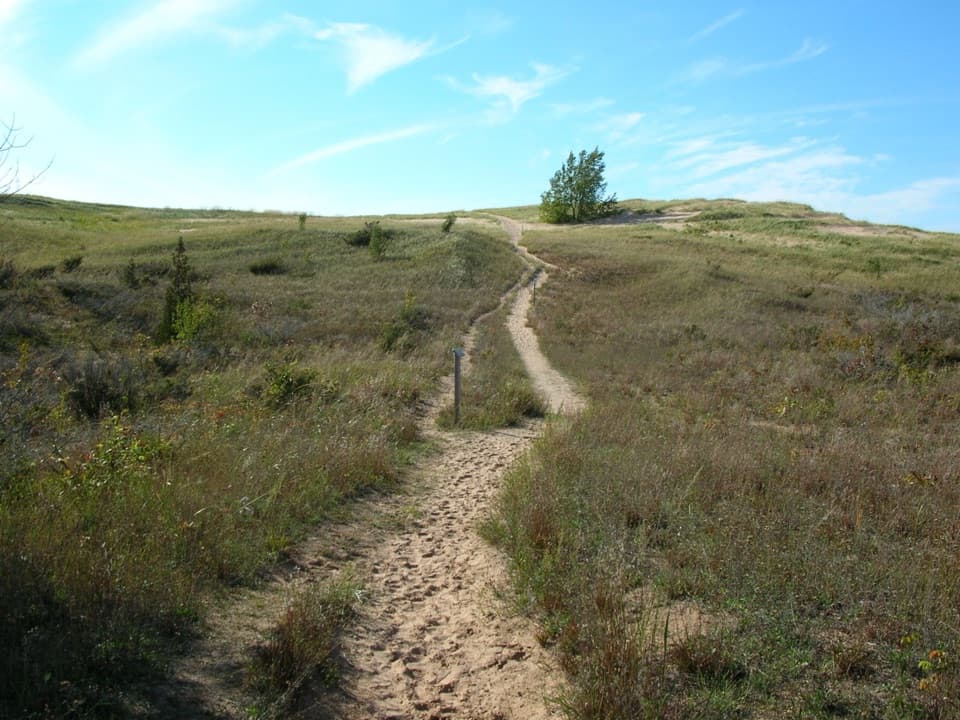
Blue-tipped posts mark the trail. Most hikers go counterclockwise, but clockwise is reported to be a gentler way to begin and leaves the broadest lake views for later. Either way, expect repeated rises and dips in loose sand. Stay on the marked route rather than cutting across open slopes: the dune plants are fragile, and the blue posts mark the maintained line.
The optional spur to Lake Michigan branches about a third of a mile from the trailhead when you go counterclockwise. It is not part of the loop. The spur is described as roughly half a mile, but the distance convention is unclear, so treat it as an extra beach walk rather than adding a precise amount to your mileage.
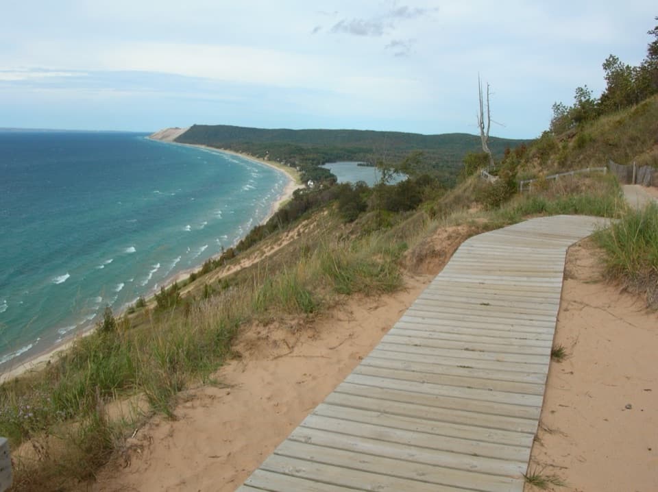
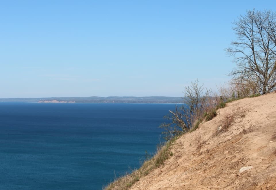
The open section is the part that makes this more tiring than the map suggests. The route climbs and drops over soft sand with little shade, and the view keeps changing as the ridges open up. From the high points, look north and east toward Sleeping Bear Bay and Pyramid Point, south toward Platte Bay, and across the Manitou Passage to North and South Manitou Islands. A little of the marked path in the foreground gives the dune ridges scale against the water.
Dune grasses, shrubs, and wildflowers grow across this exposed stretch. Stick to the posts to avoid trampling plants or widening the sandy track.
The route cuts inland through a ghost forest, where moving sand has buried trees and later left some of their dead, pale trunks standing. Winds off Lake Michigan keep the dunes shifting and expanding, so this is part of a living landscape rather than a fixed wall of sand. Blowouts add curved hollows and ridges to the plateau; their shapes reflect sand moved by wind, weather, logging, and other disturbances.
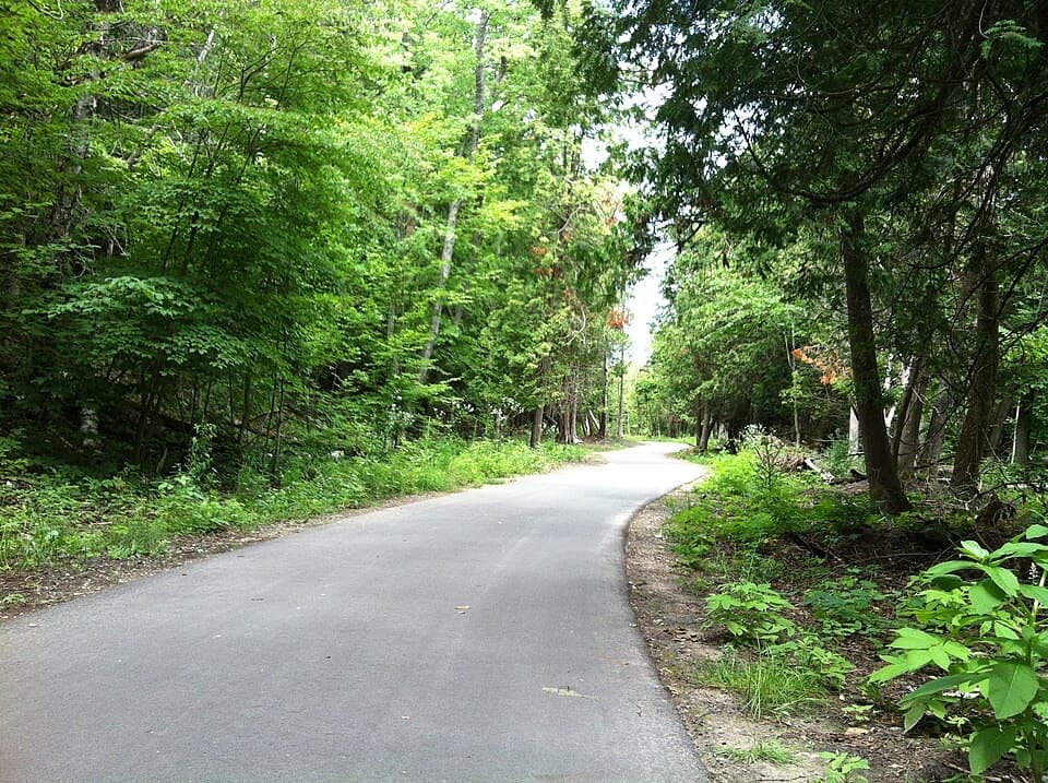
After the open dunes, the route leaves the sandy plateau and enters greener woods. The surface becomes a narrower, firmer path with some steep pitches before it brings you back to the road-end trailhead. This stretch gives you a break from the full sun, but it still has hills. The contrast between open sand and the forest return is a big part of why this loop feels more varied than its short distance implies.
Wildlife
 27 sightingsPiping PloverMost seen around 6 PMSighting map
 70 sightingsBald EagleMost seen around 10 AMSighting map
 56 sightingsWhite-tailed DeerMost seen around 6 AMSighting map
 68 sightingsSandhill CraneMost seen around 7 AMSighting map
 58 sightingsPorcupineMost seen around 8 PMSighting map
 31 sightingsLoonMost seen around 5 PMSighting map
Sighting maps show where each species has been reported across Sleeping Bear Dunes. Wildlife moves, so no sighting is guaranteed.
Keep exploring
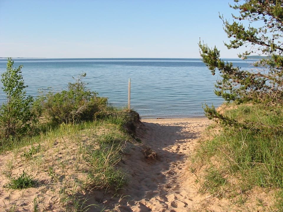 EasySleeping Bear Point Spur Trail0.7 mi · 36 min · At the trailheadA quick sandy walk ends at the Lake Michigan beach.
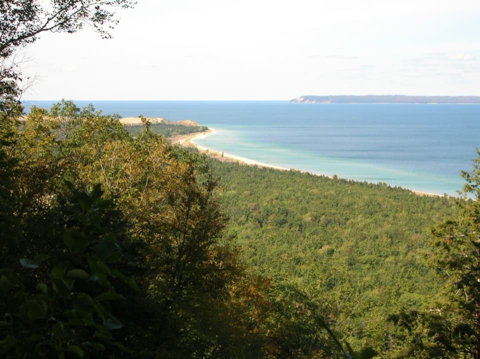 ModerateAlligator Hill Advanced Loop4.6 mi · 2.8 hr · 1.6 mi awayFollow the steep southern loop to Islands Lookout above Lake Michigan.EasyAlligator Hill Easy Loop3 mi · 1.8 hr · 1.6 mi awayA forest climb opens onto Lake Michigan and the islands.ModerateAlligator Hill Intermediate Loop4.7 mi · 2.5 hr · 1.7 mi awayA hilly forest loop to Islands Lookout and Manitou views.
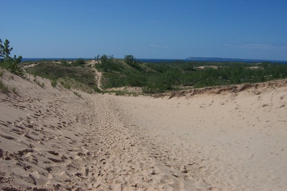 ChallengingDunes Hiking Trail3.5 mi · 3.5 hr · 1.9 mi awayNine sandy hills stand between you and Lake Michigan.
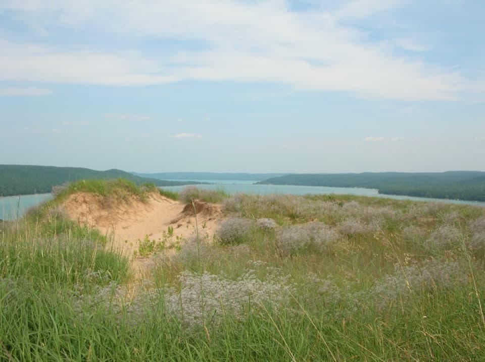 ModerateCottonwood Trail1.5 mi · 1 hr · 2.6 mi awayA marked dune loop reaches a bench above Glen Lake.
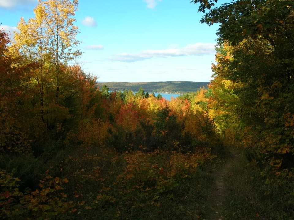 ModerateWindy Moraine Trail1.5 mi · 1 hr · 3.8 mi awayA short hill loop for a Glen Lake glimpse and forest stories.
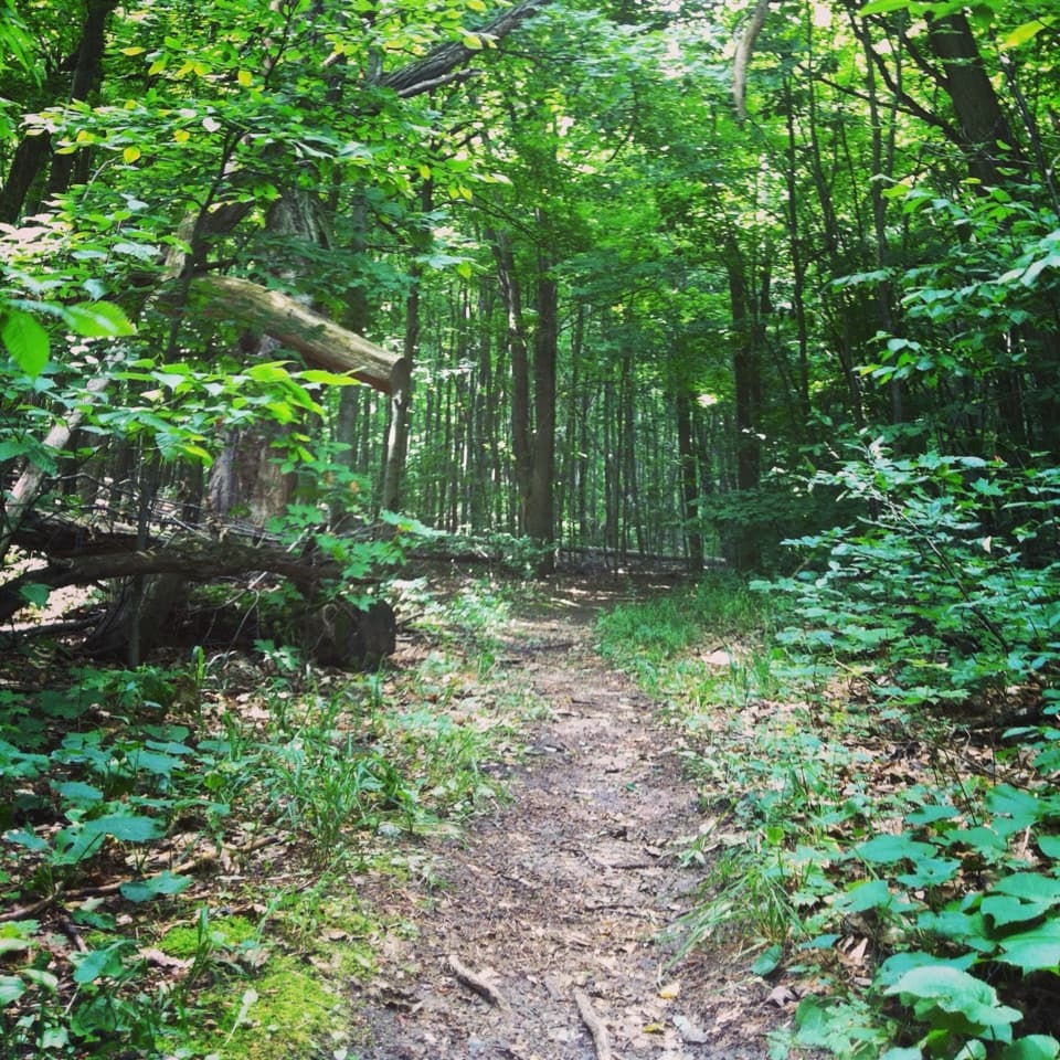 ModerateShauger Hill Trail2.4 mi · 1.3 hr · 3.9 mi awayA shaded woodland loop for wildflowers, without lake views.
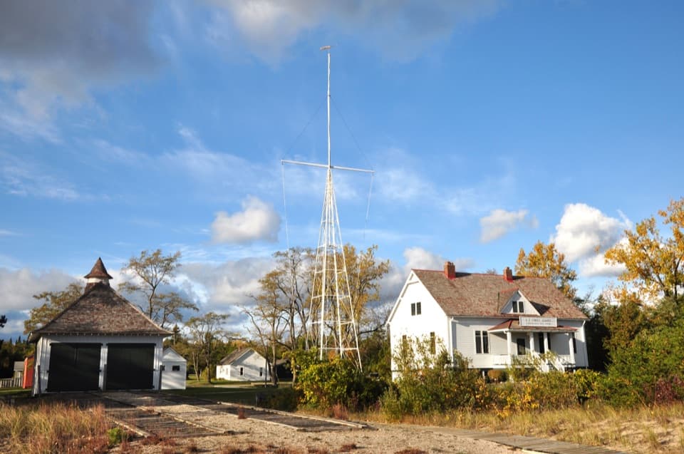 Sight · 0.3 mi awaySleeping Bear Point Maritime MuseumA 1901 lifesaving station, its rescue boats, and the Manitou Passage.
 Lodging · 0.7 mi awaySleeping Bear InnSleep in Glen Haven's historic inn, with the beach across the road.
 Sight · 0.7 mi awayGlen Haven Cannery and Boat MuseumFruit cannery, Great Lakes boats, and a cordwood town’s story.
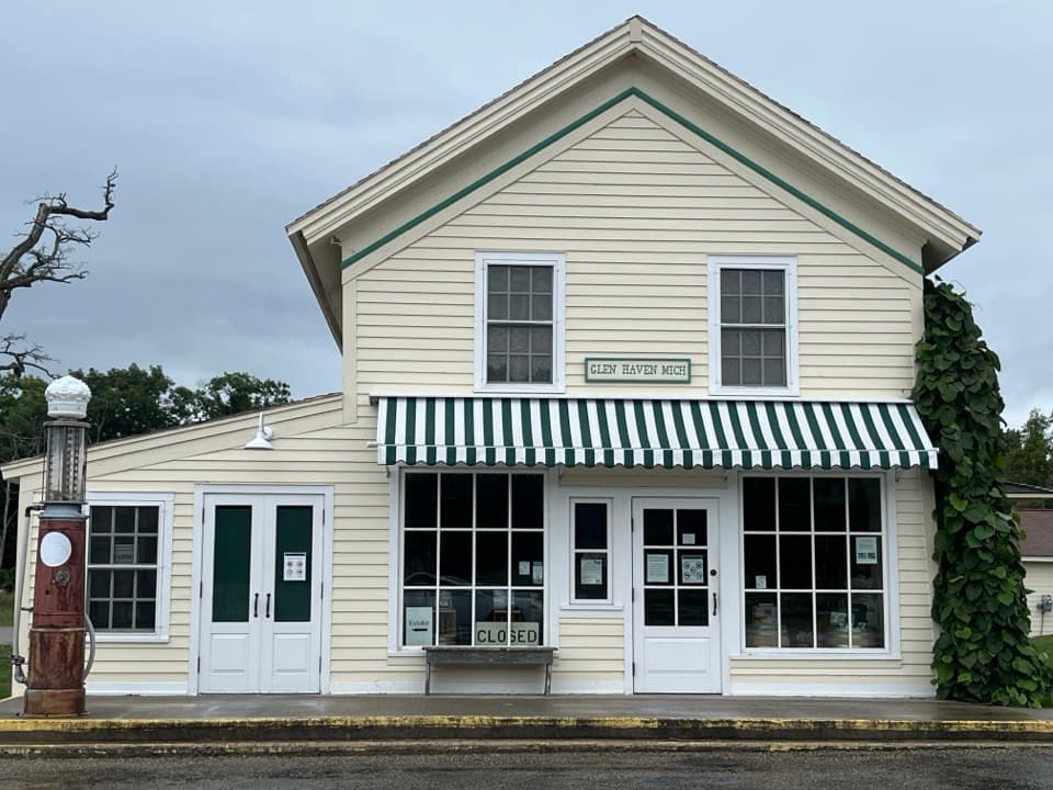 Store · 0.8 mi awayGlen Haven General StoreA small shop with a surprisingly big role in company-town life.
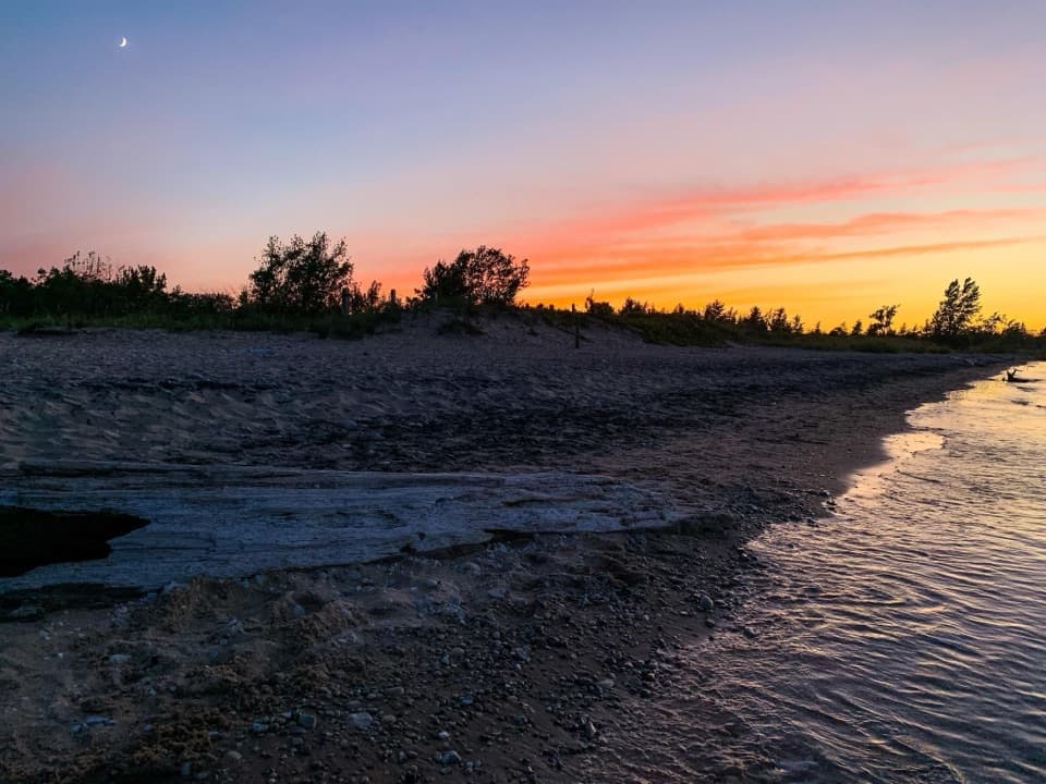 Beach · 0.8 mi awayGlen Haven BeachA pebbly swim stop beside an old shipping port.
 Sight · 0.8 mi awayGlen Haven Blacksmith ShopCatch a live forge demonstration in a shop from the 1860s.
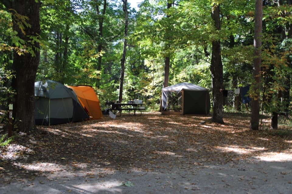 Campground · 1.3 mi awayD.H. Day CampgroundWooded campsites put the beach walk and Heritage Trail close.
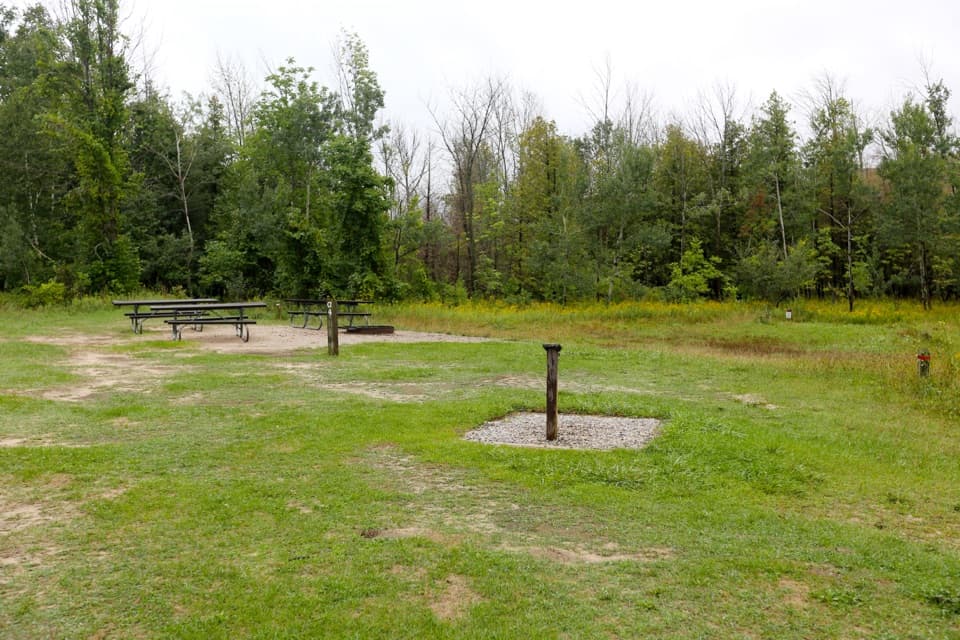 Campground · 1.3 mi awayD. H. Day Group CampgroundFour tent-only group sites near the Dune Climb.
Parkwolf’s Sleeping Bear Dunes ranking

The audio tour guide for the drive, plus offline maps, trails, and wildlife heatmaps for when the signal drops.