
Place · 0 mi away
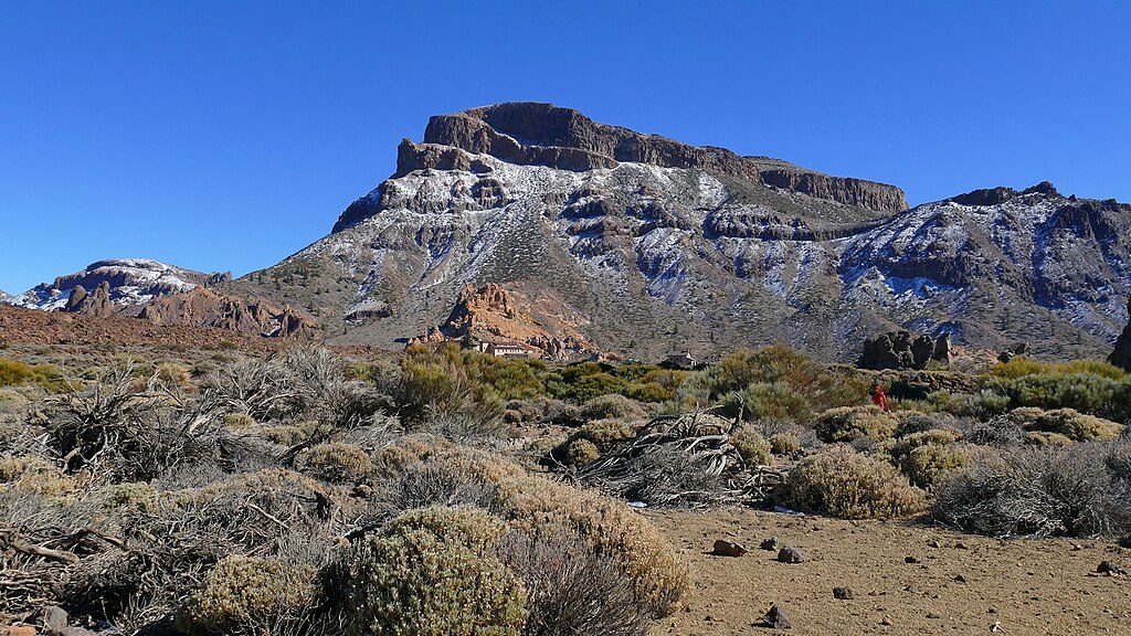
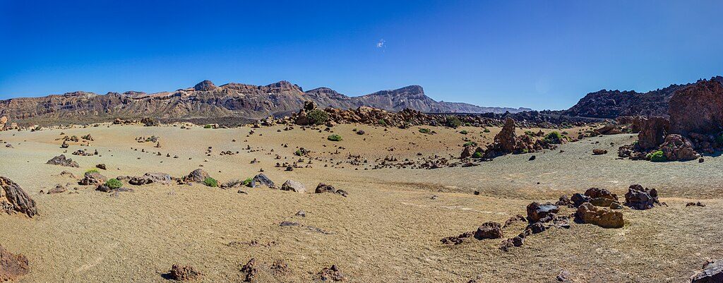
Montaña Guajara (2,718 m) is the high point of the Las Cañadas caldera rim and a favorite challenge for hikers who want a sweeping, front‑row view of Teide without the cable car scene. Expect a Mars‑like volcanic landscape, big skies, and a proper workout.
Most hikers tackle a counter‑clockwise loop of about 10.3 km with roughly 675–680 m of gain, taking 4–5 hours. Start by the Cañada Blanca/Parador area and climb the steeper slope first—it’s kinder on the knees and gets the grunt work out of the way. From the Degollada de Guajara saddle, follow the signed path to the broad summit; descend the longer, gentler arc to close the loop.
Trail numbers you’ll encounter from the Parador area include PNT‑04 (Siete Cañadas) to PNT‑05 (Degollada de Guajara), then PNT‑15 to the summit, with many people returning via PNT‑31. There’s also a rougher, scree‑heavy ascent on the west/north‑west flank for those who like it spicier.
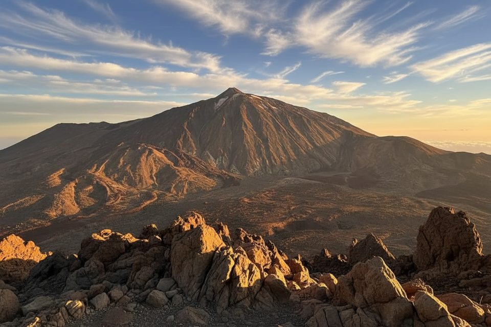
From the top, the views take in Teide, Pico Viejo, Montaña Blanca, and the full sweep of the caldera. On clear days you can spot other Canary Islands such as La Gomera and Gran Canaria. The summit plateau also holds ruins from a historic observatory used during early 20th‑century astronomical work.
You’re above 2,000 m almost the entire time, with no shade and frequent wind on the rim. Bring plenty of water, sun protection, and sturdy footwear for loose volcanic grit. Check the forecast—wind or a passing shower at elevation can change the feel of the day quickly.
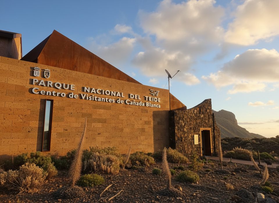
Park at the Parador de Las Cañadas/Cañada Blanca area on TF‑21; buses 342/348 also stop here. Use the Parador’s toilets and café/restaurant before setting off—there are no services on the trail itself. Free parking is available but can fill with visitor numbers, so arrive early.
Guajara’s slopes and scree are the sculpted remains of the caldera’s volcanic past. The summit ruins recall a period when scientists camped high on the rim to observe the skies, including work tied to famous comet observations in 1910.
Start early for cooler temperatures, steadier winds, and easier parking. Midday sun is harsh and the route is fully exposed. If you’re considering sunset, plan descent timing carefully to avoid hiking down in the dark.
Camping is prohibited. A designated bivouac zone near Guajara exists but requires an advance permit through the island’s official platform; arrange it before you go.
Place · 0 mi away
Place · 1 mi away
Place · 1.1 mi away
Place · 1.1 mi away
Moderate · 1.3 mi away
Moderate · 3 mi away
Challenging · 3 mi away
Challenging · 3.7 mi away

Parkwolf Tour Guide
