Minas de San José Circuit in Teide National Park

Teide National Park, TF

Minas de San José Circuit

Long caldera loop from pale pumice to black lava slopes

Photo: Wikimedia Commons
Length
24.1km
Time
7hr
Elev. change
300m
Difficulty
Challenging
  • Loop
  • High point 2,347 m
  • #11 of 62 in Teide

Hear the audio tour

Minas de San José

Overview

About Minas de San José Circuit

Why go

  • A rare loop links pumice fields, the Cañadas escarpment and lava slopes.
  • Spring flowers and wide views add variety to the long crossing.

Heads up

  • A hard 15-mile day above 2,000 m, with limited resupply.

Map & elevation

The route

Loading the Teide map
Full map
Elevation2,047–2,347 m
TrailheadMirador de las Minas de San José (PNT 30 trailhead), TF-21 km 37.528.26582, -16.58837
Keep this map with you offline in the Parkwolf app

Plan your hike

Before you go

Parking

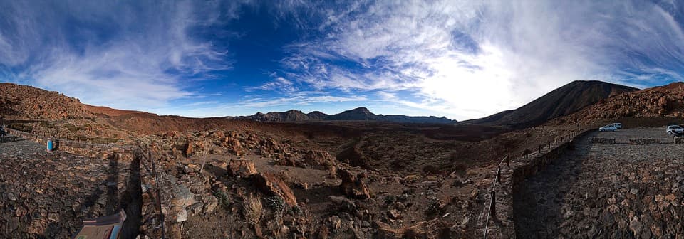
Start at the Mirador de las Minas de San José access on TF-21, km 37.5; use the north-side parking beside PNT 30. PNT 39 returns to the nearby south-side viewpoint car park, and a short connector across the compacted public viewpoint area completes the loop.

Safety

The circuit stays above 2,000 m and crosses loose, uneven volcanic ground with steep slopes on the PNT 39 return. Carry food and water; there is no reliable resupply along the route. The open high plateau can mean strong sun and cool conditions.

2 active Teide alerts

  • CautionControlled access and equipment rules on Teide trailsHikers on regulated routes to La Rambleta must book electronically through Tenerife ON and carry their matching booking and identification.Official details
  • CautionSmoking prohibited throughout Teide National ParkDo not smoke anywhere outdoors in Teide National Park. This prohibition prevents forest fires.Official details
Teide alerts
A park ranger sits on a dash-mounted phone, talking, as Parkwolf’s Tour Guide plays “Army Cutworm Moths: A Grizzly Bear Buffet” on Grand Loop Road below Dunraven Pass in Yellowstone
Parkwolf Tour GuideThe highest, rockiest slopes around here are a summer buffet for grizzly bears.

Teide Tour Guide

Your drive to Minas de San José Circuit, narrated.

Parkwolf is a GPS audio tour guide for Teide National Park. As you drive, it chimes in with what’s ahead: hidden gems, upcoming stops, history, geology, and wildlife, right through your car’s speakers.

See the Teide audio tour

Recorded for this trailhead

Minas de San José
0:00 / 0:32
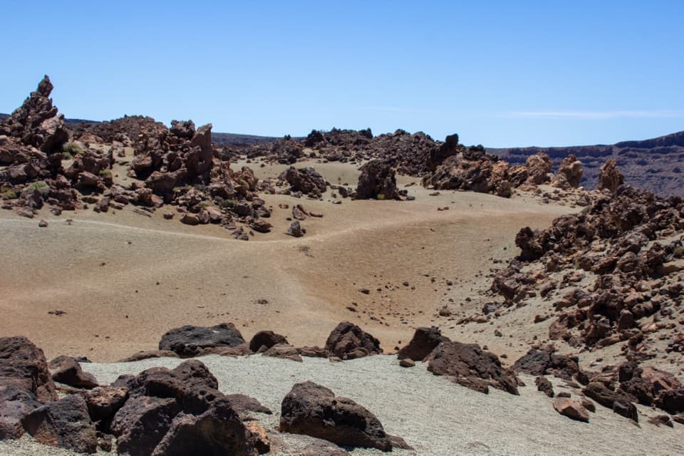
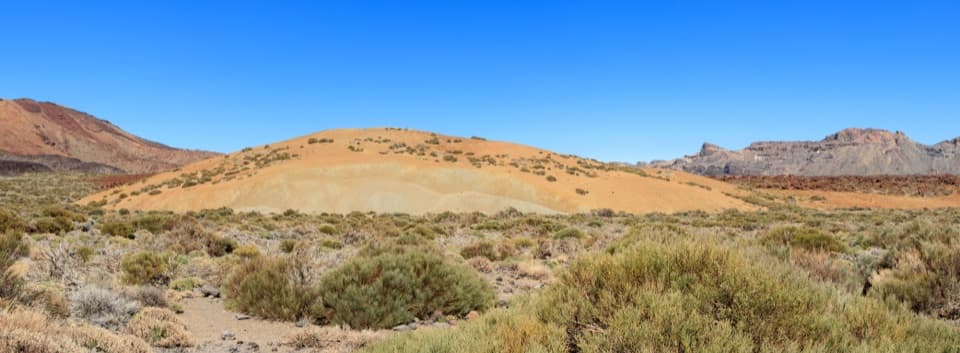
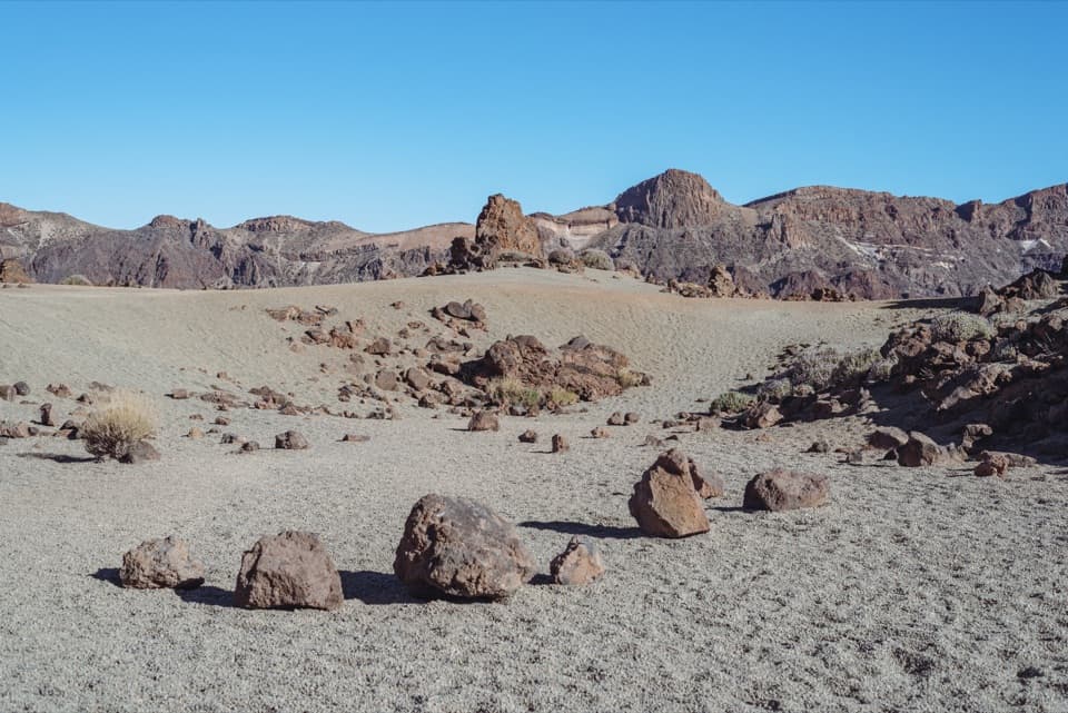
“You're coming up on Minas de San José, where pale pumice lies beside dark lava. This was an open-cast mining area, and the former workings left the broad, light-colored ground you see today.”

Plays as you drive up to this trailhead in the Parkwolf Teide Tour Guide.

More stories near here in the app

  • Violets in the High Rocks
  • Montaña Blanca and the Climb to La Rambleta
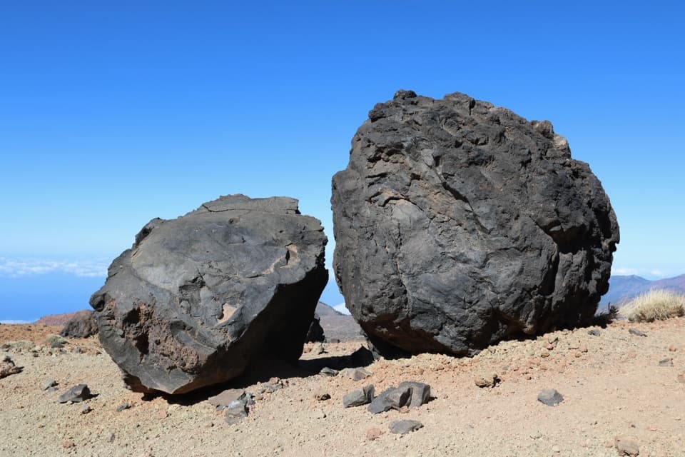
  • Rock Full of Bubbles
  • Tabonal Negro Viewpoint
  • 39 audio storiesacross Teide’s roads, triggered by GPS as you drive
  • Wildlife heatmapsfor Short-finned Pilot Whale, Tenerife Lizard, West Canary Skink, and 10 more
  • Works offlinemaps, 62 trails, 49 places, and audio download before you lose signal
  • CarPlay readysimple controls built for the drive
★★★★★
“Fantastic app with many points of information… It’s great to just turn on while you’re driving and it gives you an audio tour of the national Park. We love it!!!!”
JMJamesApp Store review
Download Parkwolf on the App StoreGet Parkwolf on Google Play

4.7 from 8,600+ ratings

Trail guide

Hiking Minas de San José Circuit

A full-day caldera loopMinas de San José Circuit is a 24 km (15 mi) loop from the Minas de San José viewpoint, down…

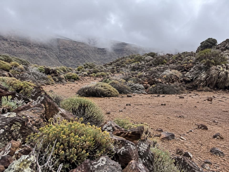
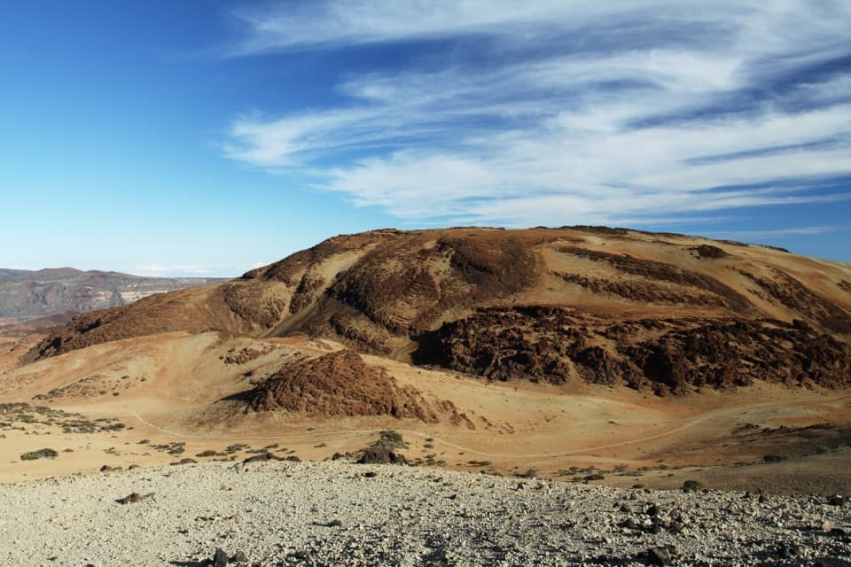
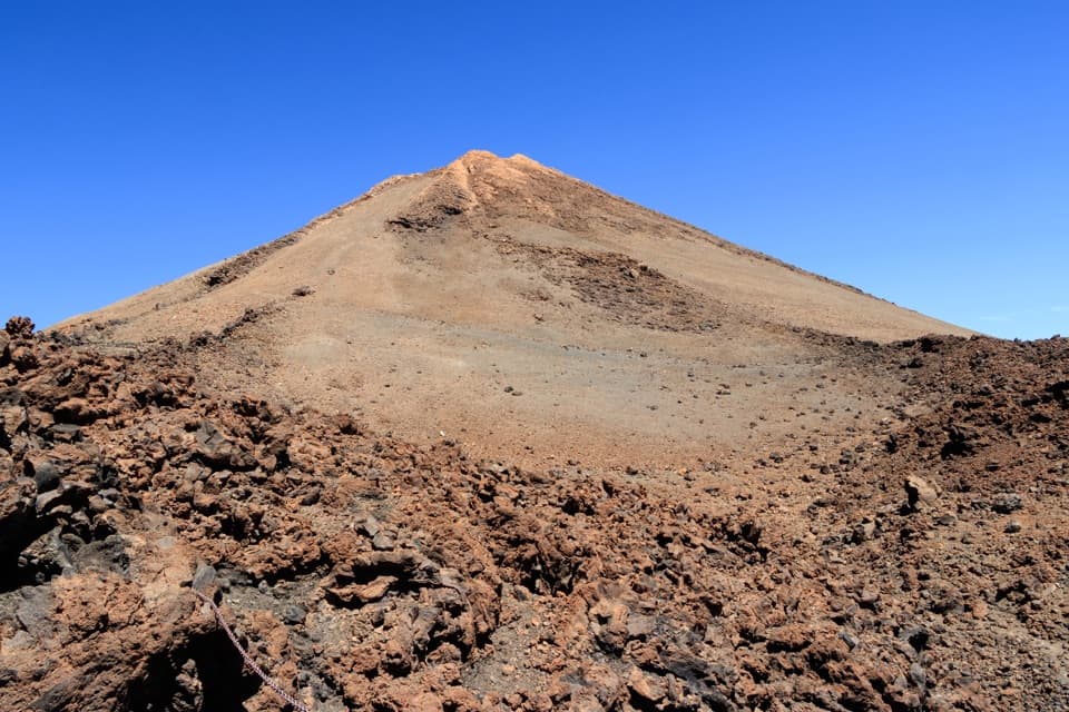
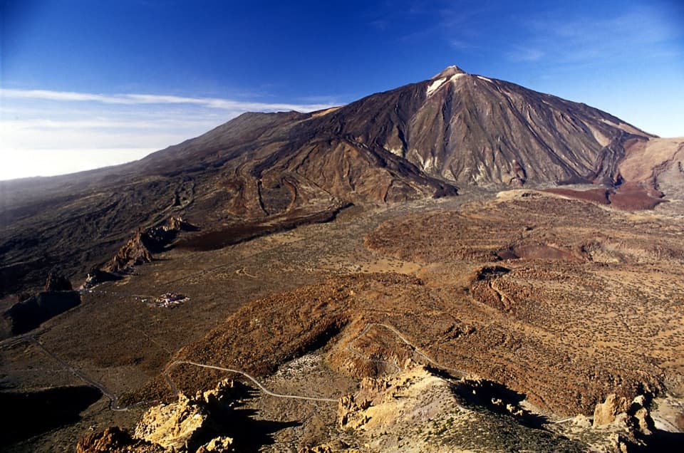
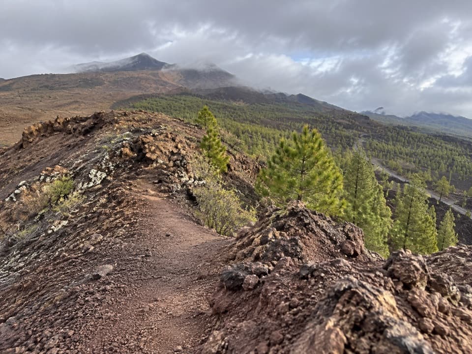
Minas de San José Circuit is a 24 km (15 mi) loop from the Minas de San José viewpoint, down through the pale pumice country of PNT 30, south along PNT 04 beneath the Cañadas escarpment, then back by Sanatorio and PNT 39. Allow about 7 hours on foot. Much of the route sits above 2,000 m, and the rough, open volcanic ground makes this a hard day even though it is not a technical climb. The payoff is a moving cross-section of Teide’s caldera: pale ash fields, dark lava, high scrub and wide views of Teide and the surrounding rim.

Make the distance workThe route links four marked park trails, so pay attention where PNT 30 meets Siete Cañadas at…

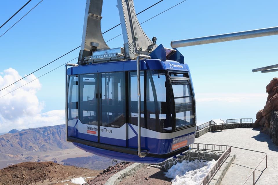
The route links four marked park trails, so pay attention where PNT 30 meets Siete Cañadas at Risco Verde and where the Sanatorio track meets PNT 39 near the cable-car base. The return finishes across the same Minas de San José viewpoint area where you start. Carry food and water for the entire walk; there is no dependable resupply along the circuit. The cable-car base has a cafeteria and toilets nearby if you make a separate stop, but do not plan the hike around them being available.

Down through Los VallesPNT 30 begins on pale pumice and descends across small valleys and ravines to Risco Verde.

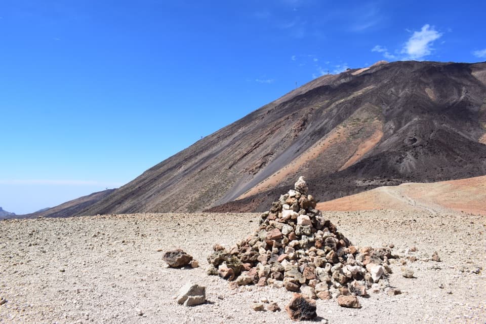
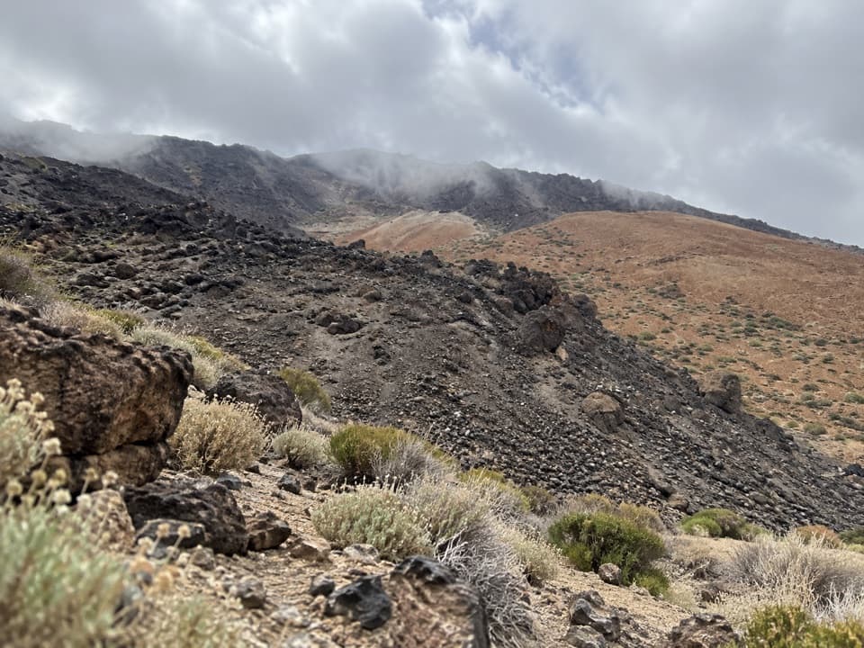
PNT 30 begins on pale pumice and descends across small valleys and ravines to Risco Verde. The soft, loose surface gives the first part a different feel from the firmer path along the caldera floor. This was a working landscape: pumice was quarried here for decades, and traces of old retama-wood loading places remain beside the trail. At Risco Verde, turn south onto PNT 04 rather than continuing on a different route.

Along the Cañadas wallPNT 04 runs beneath the high caldera escarpment.

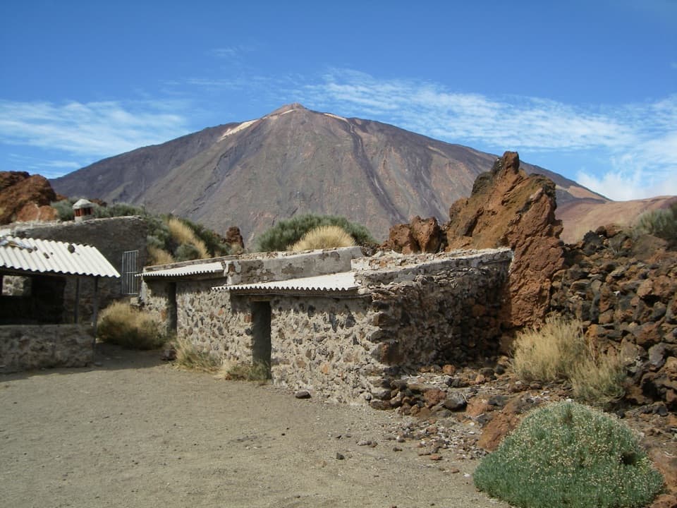
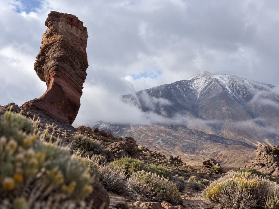
PNT 04 runs beneath the high caldera escarpment. Teide stays in view across the open plain while the broken wall and its volcanic formations rise along the other side. Roque de la Grieta and Guajara help mark the southern reach of this section, where the circuit leaves the long Siete Cañadas traverse for Sanatorio. Expect plenty of sun; this exposed high plateau can feel cool as well as bright.

Sanatorio and the lavaPNT 16 climbs and bends around the Sanatorio area before heading toward Montaña Majúa and the…

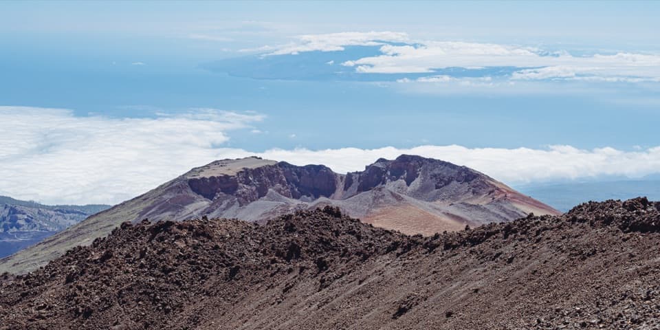
PNT 16 climbs and bends around the Sanatorio area before heading toward Montaña Majúa and the cable-car base. The name recalls a former sanatorium for people with lung disease; its buildings have been demolished, but the route keeps the place-name. Look for black obsidian among the pale ground and lava, and for the rounded forms of the Majúa lava dome and Depósito volcano. In spring, retama, codeso and red tajinaste bring color to the high scrub; flowering is strongest from about April through June.

Back over PNT 39From the cable-car side, PNT 39 loops toward Montaña Blanca and returns to Minas de San José.

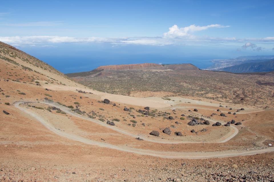
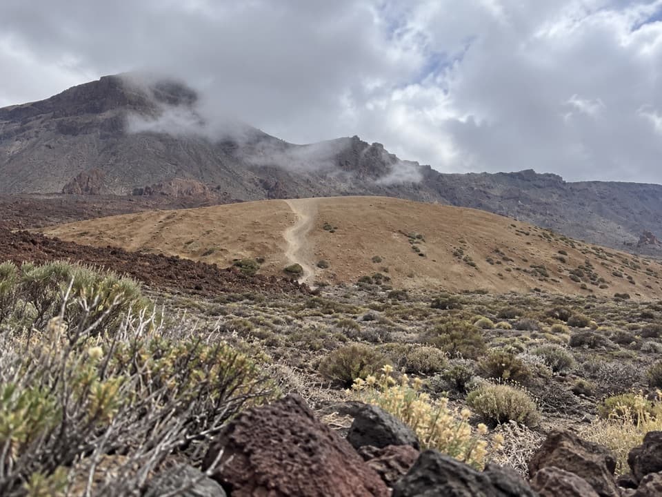
From the cable-car side, PNT 39 loops toward Montaña Blanca and returns to Minas de San José. It crosses rolling lava ground near the road, with a steeper final rise before the pale viewpoint plateau. The last overlook is a good place to frame the dark rock and pumice in the foreground against the caldera wall; a little trail in the frame helps show the scale of the terrain.

Want a shorter walk?PNT 30 can be walked as a separate out-and-back from Minas de San José to Risco Verde: about 9.

PNT 30 can be walked as a separate out-and-back from Minas de San José to Risco Verde: about 9.8 km (6.1 mi) round trip using its official 4.92 km one-way length. That gives you the pumice descent and caldera-wall views without committing to the full circuit. The shorter 14 km figure sometimes attached to the circuit does not identify a separate mapped version; the detailed full-loop route and checked line are about 24 km.

Wildlife

Wildlife in Teide

All Teide wildlife maps

Sighting maps show where each species has been reported across Teide. Wildlife moves, so no sighting is guaranteed.

Keep exploring

Near Minas de San José Circuit

See it all on the map

Trails that start nearby

Places near the trailhead

Parkwolf’s Teide ranking

Top-rated trails in Teide

All 62 trails
  1. 1Telesforo Bravo Trail (PNT 10)Challenging · 1.4 km
  2. 2PNT 03 Roques de García LoopModerate · 3.5 km
  3. 3Alto de Guajara Summit LoopChallenging · 11.1 km
  4. 4Mirador de Pico Viejo Trail (PNT 12)Moderate · 1.5 km
  5. 5PNT 07 Montaña Blanca–La Rambleta TrailChallenging · 8.3 km
  6. 6Sámara Loop TrailModerate · 4.6 km

Take Parkwolf to Teide.

The audio tour guide for the drive, plus offline maps, trails, and wildlife heatmaps for when the signal drops.

4.7 from 8,600+ ratings

Download Parkwolf on the App StoreGet Parkwolf on Google Play